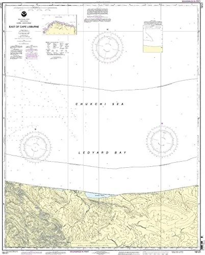
East of Cape Lisburne Nautical Chart 16121 – NOAA Approved, Printed On Demand, All Updates Included

$34.95
Discover the East of Cape Lisburne Nautical Chart 16121, NOAA-approved and printed on demand with all updates for safe navigation.

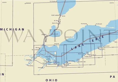
Nautical Chart 14825 – Ashtabula to Chagrin River – 1:80000 Scale – 28.56′ x 38.33′ – NOAA Approved

$20.94
Discover the latest NOAA-approved nautical chart for the Ashtabula to Chagrin River region, ensuring safe navigation with all corrections applied.

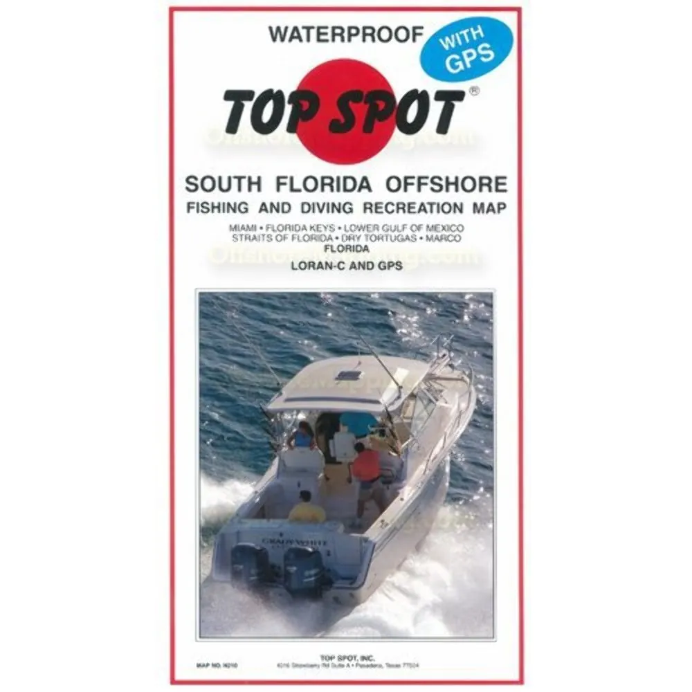
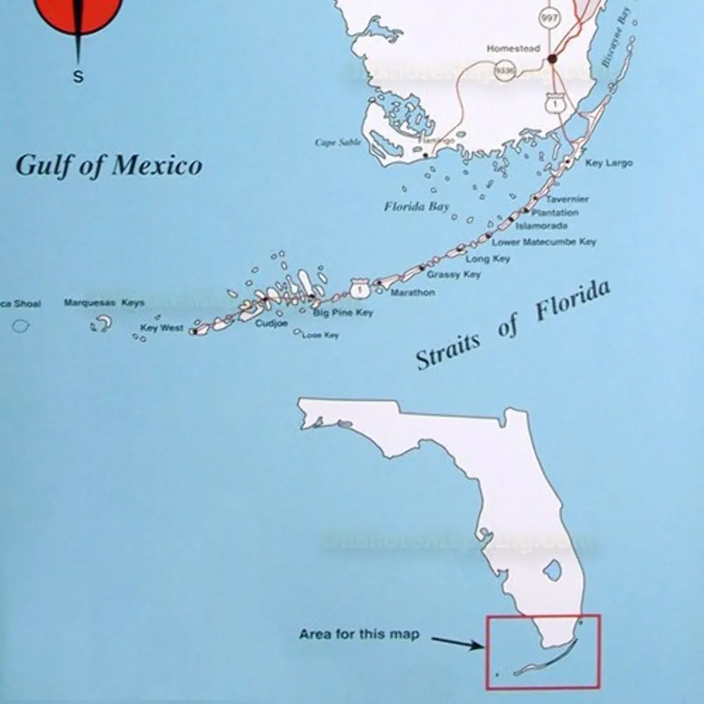
N210 South Florida Offshore Fishing Map – Waterproof, Detailed GPS, Boat Ramps, Marinas, Topspot

$25.75
Explore Southern Florida's waters with the N210 Offshore Fishing Map. Waterproof and detailed for fishing spots, ramps, and marinas.

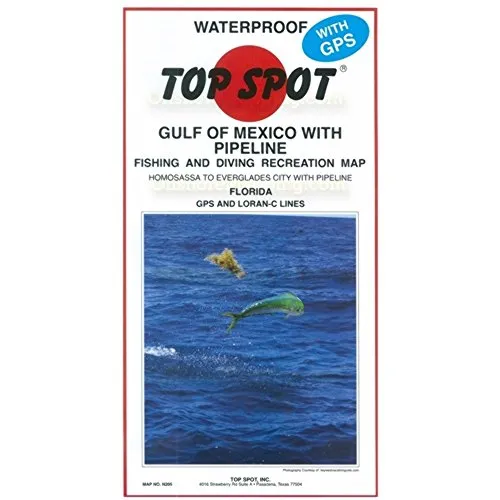
Fishing Map West Coast Florida Offshore Homosassa to Everglades City – Waterproof, GPS Coordinates

$26.99
Discover the ultimate fishing map for West Coast Florida, featuring waterproof design, GPS coordinates, and fishing hotspots.

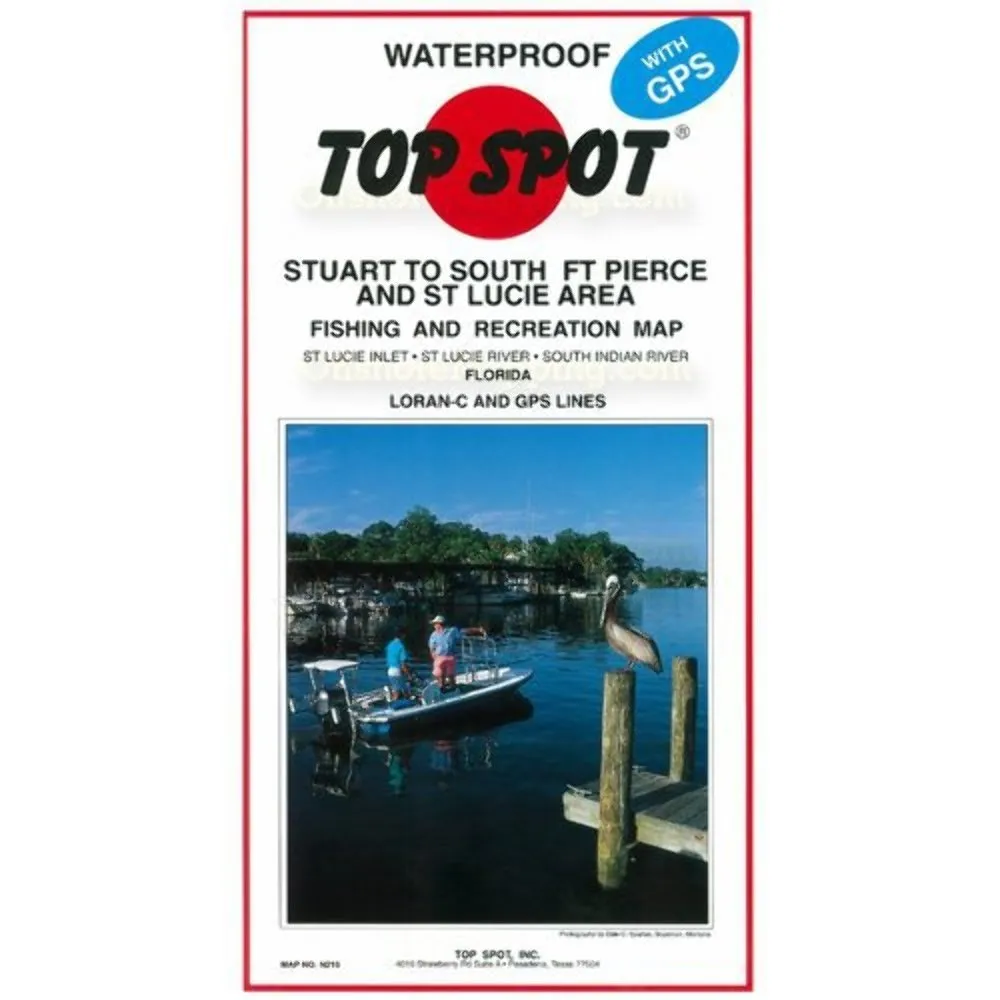
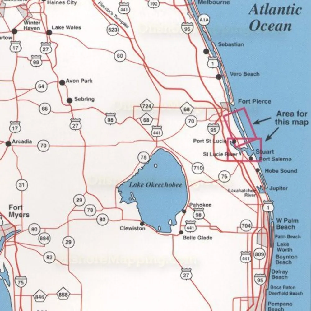
Topspot Map N215 Stuart Ft Pierce – Waterproof Fishing Equipment with GPS Coordinates

$25.01
Explore the Topspot N215 Stuart Ft Pierce Map, featuring waterproof design, detailed fishing locations, and GPS coordinates for the ultimate fishing experience.

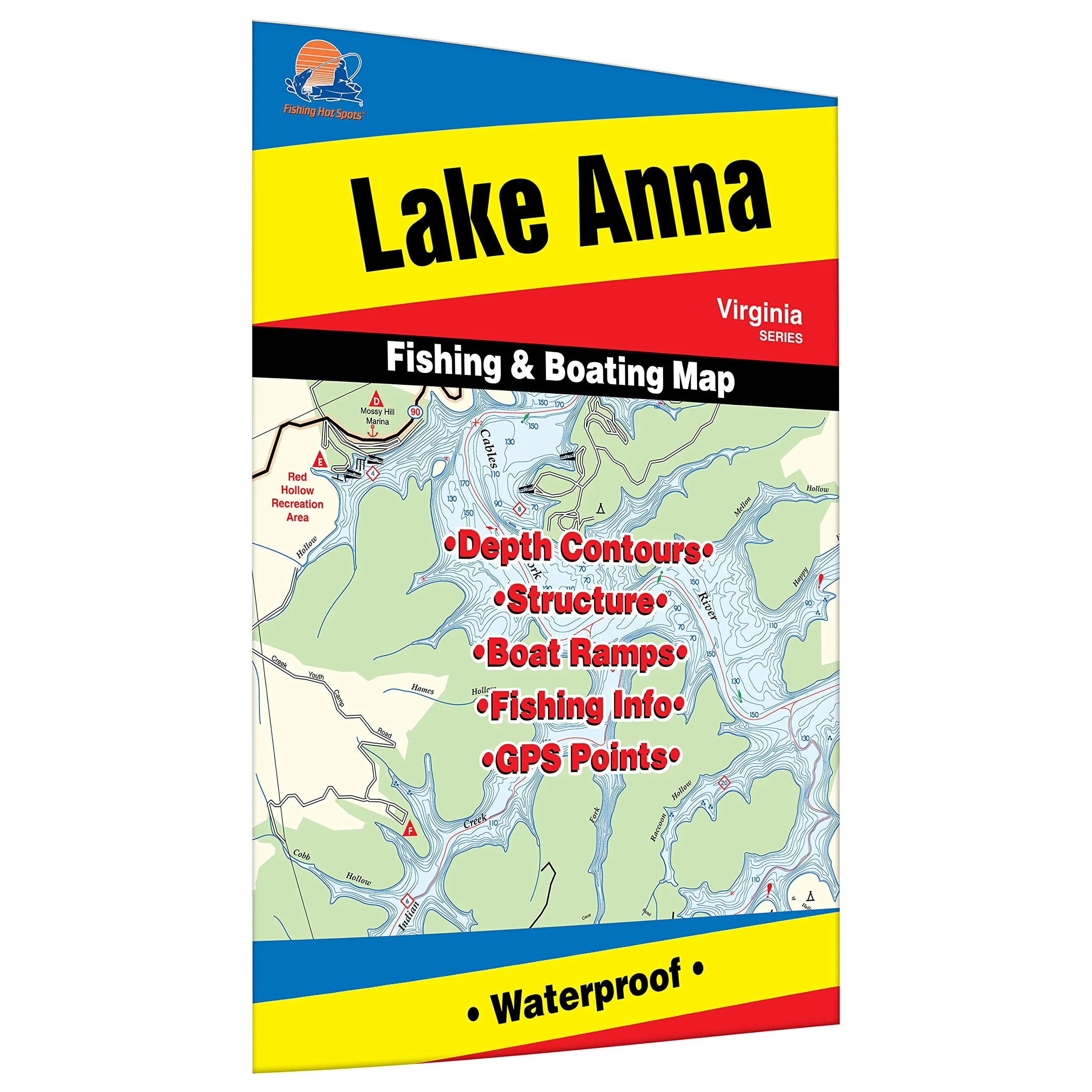
Anna Fishing Map for Lake Anna – Durable Waterproof Material – Expertly Researched Boat Access

$13.95
Explore Lake Anna with this durable fishing map. Featuring marked boat accesses and expert insights for bass and crappie fishing.

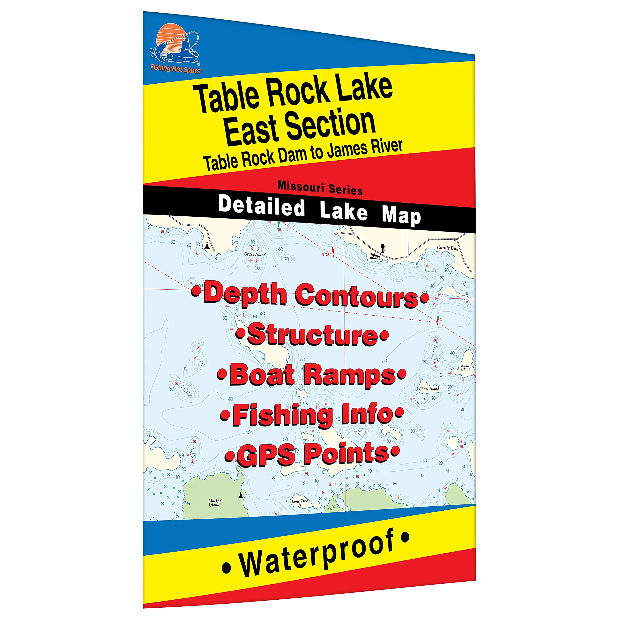
Table Rock Lake-East Fishing Map – Durable Waterproof with Marked Fishing Areas and Boat Access

$14.95
Explore Table Rock Lake-East fishing map, featuring marked fishing spots and boat access. Durable and waterproof, it's perfect for avid anglers.

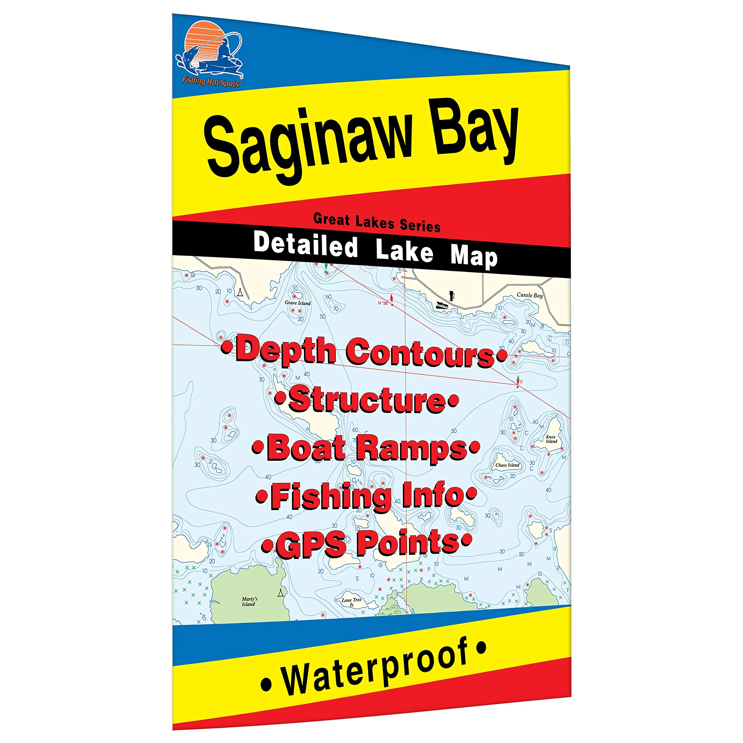
Saginaw Bay Fishing Map – Durable Waterproof, Expertly Researched Walleye Fishing Areas Included

$12.95
Explore Saginaw Bay with this durable fishing map. Expertly researched areas and boat accesses make fishing easy.

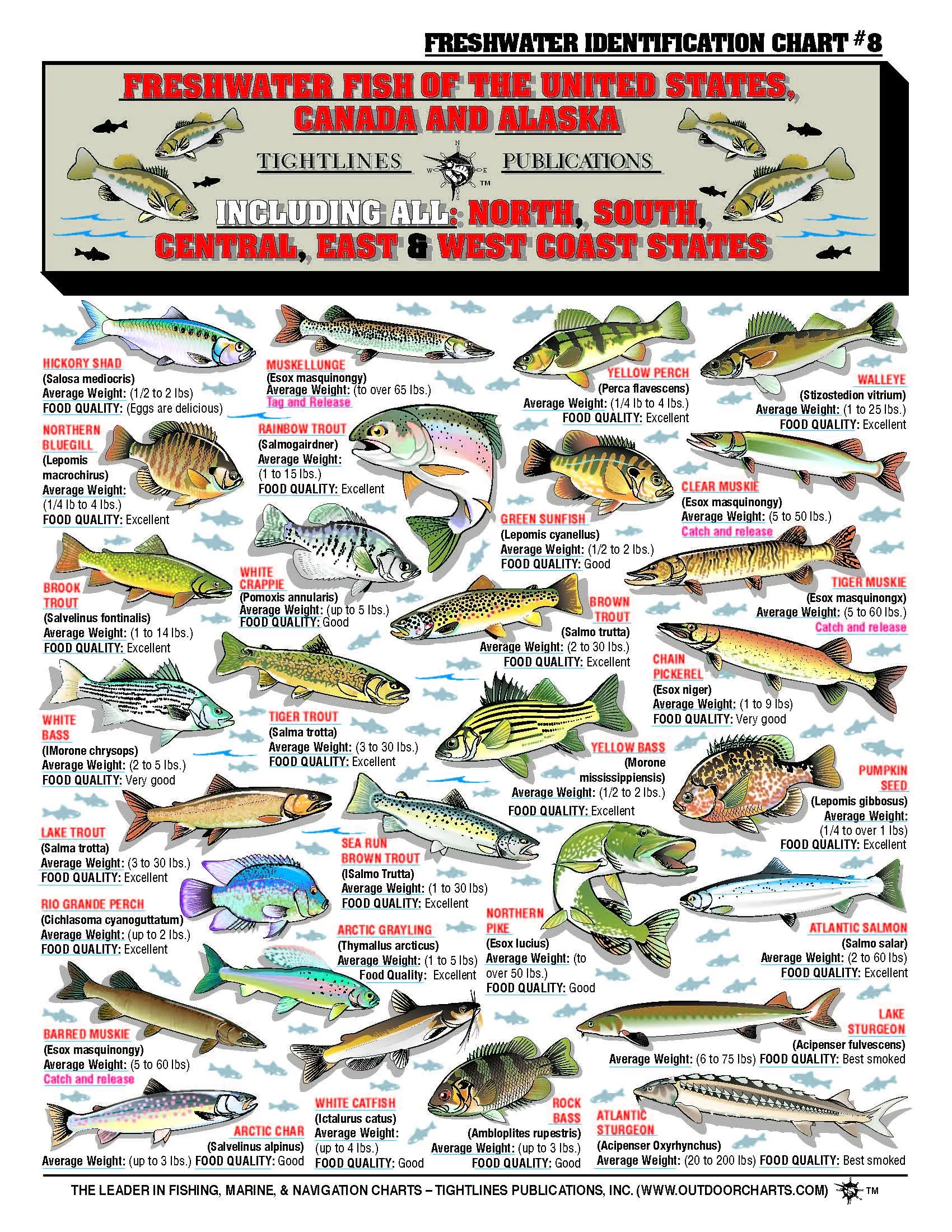
Fishermans Freshwater Fish Chart #8 with 64 Fish, Common & Latin Names, Average Weights, Color Illustrations

$9.21
Explore 64 freshwater fish species in the U.S. with common and Latin names, average weights, and stunning illustrations. Perfect for fishing enthusiasts!

FISH-N-MAP Puget Sound North by Uttse – Best in Class Fishing Map for Enthusiasts

$14.79
Explore the Puget Sound with the FISH-N-MAP by Uttse. This best-in-class fishing map enhances your fishing experience.

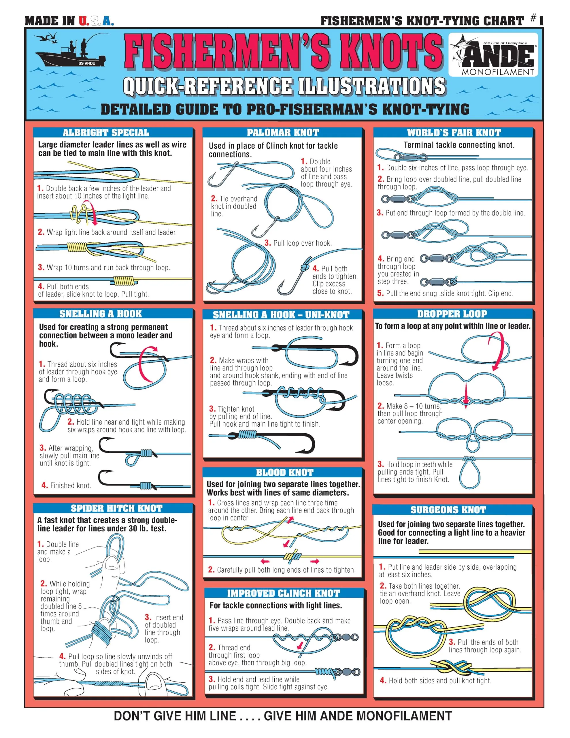
Adult Laminated Fishing Equipment Chart – White, Large – Tightline Publications

$6.99
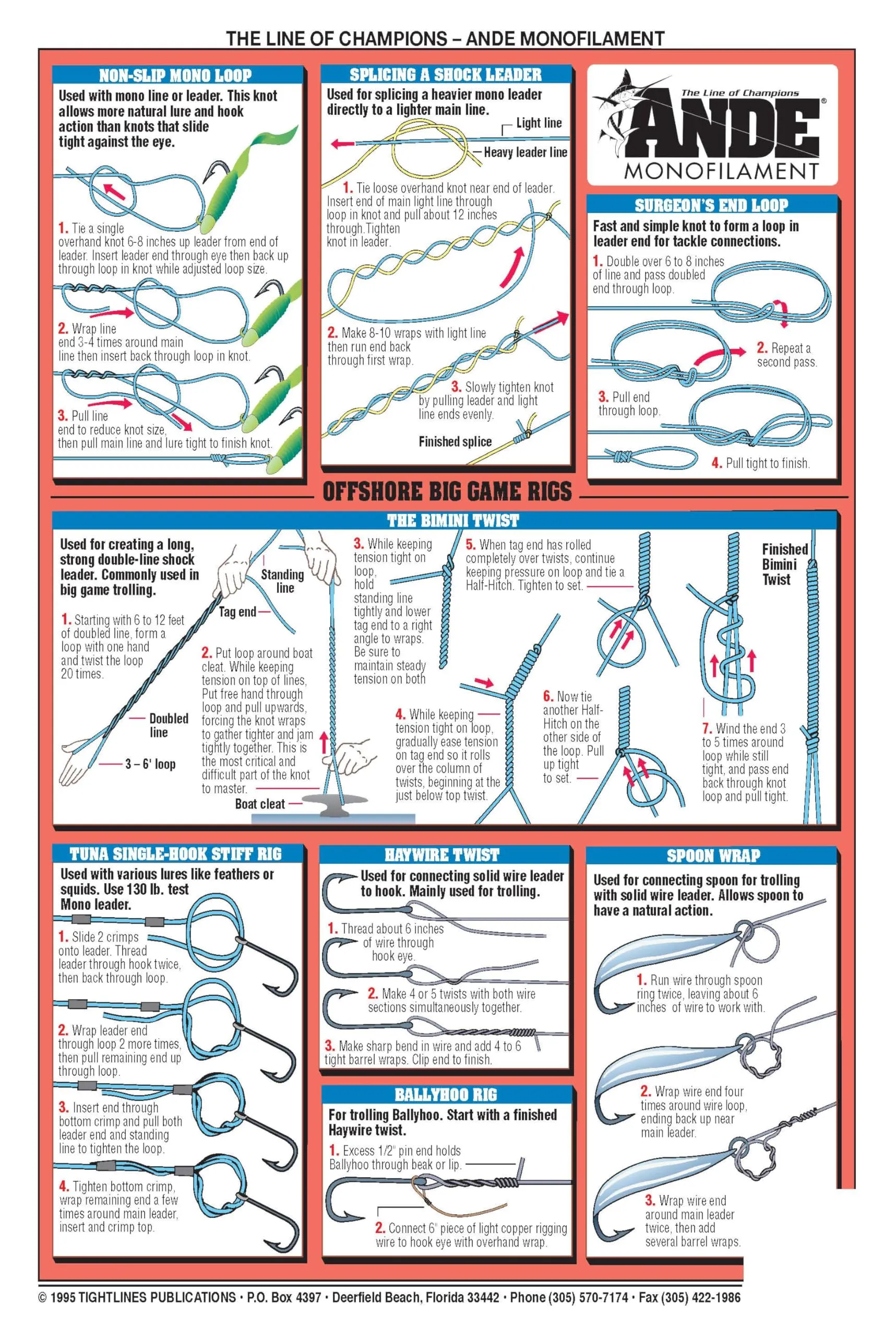
Discover essential fishing knots with this large, easy-to-read laminated chart. Perfect for beginners!

Standard Navigation Chart 104 Eggemoggin Reach to Blue Hill, Waterproof, Easy-to-Read, 25’x38′

$38.99
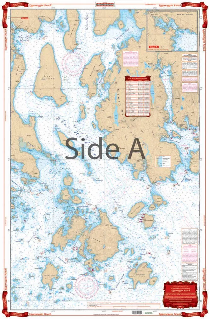
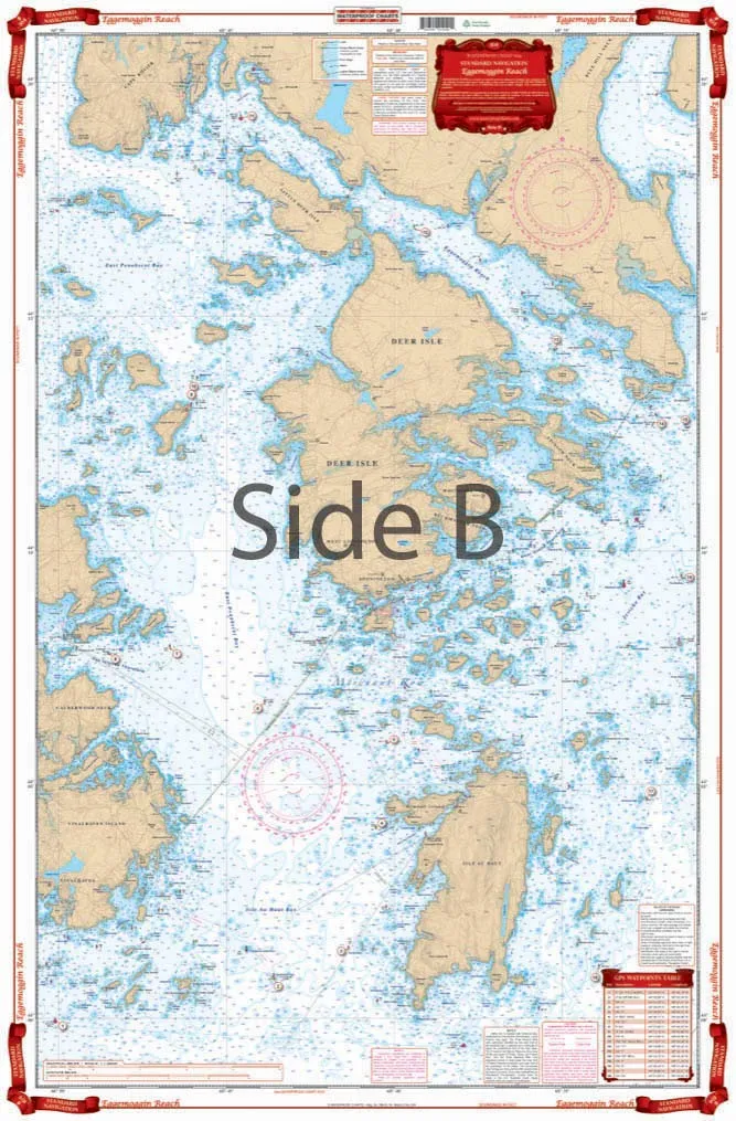
Navigate Maine's waters with this waterproof, easy-to-read chart featuring 4 NOAA charts on tear-resistant paper.

Fisherman’s Freshwater Fish Chart #4 – Detailed Guide Featuring 20 Species for Anglers

$6.39
Explore the Fisherman's Freshwater Fish Chart #4, featuring 20 essential fish species for every angler.

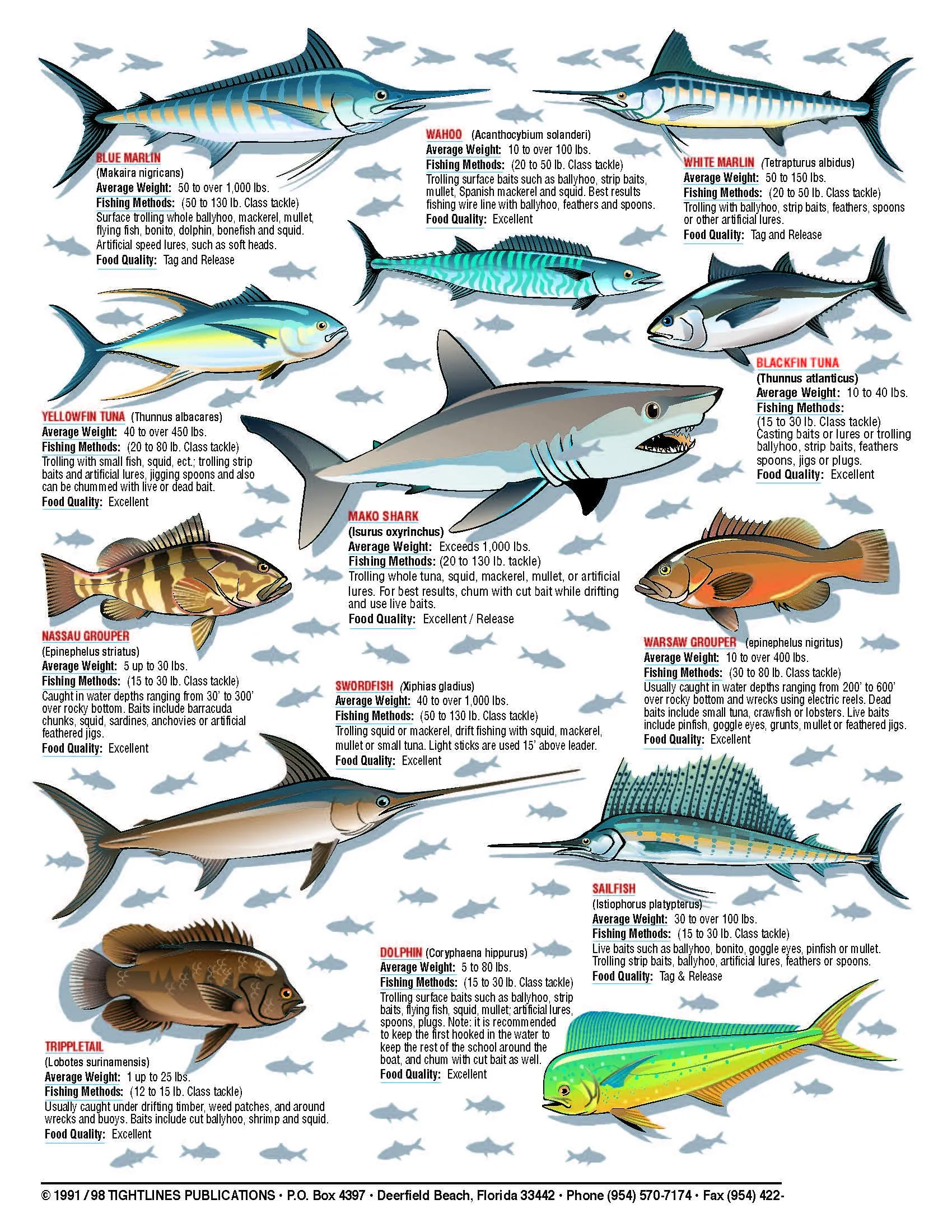
Fishermans Saltwater Fish Chart #1 by Tightline Publications – Essential Guide for Catching Fish

$9.57
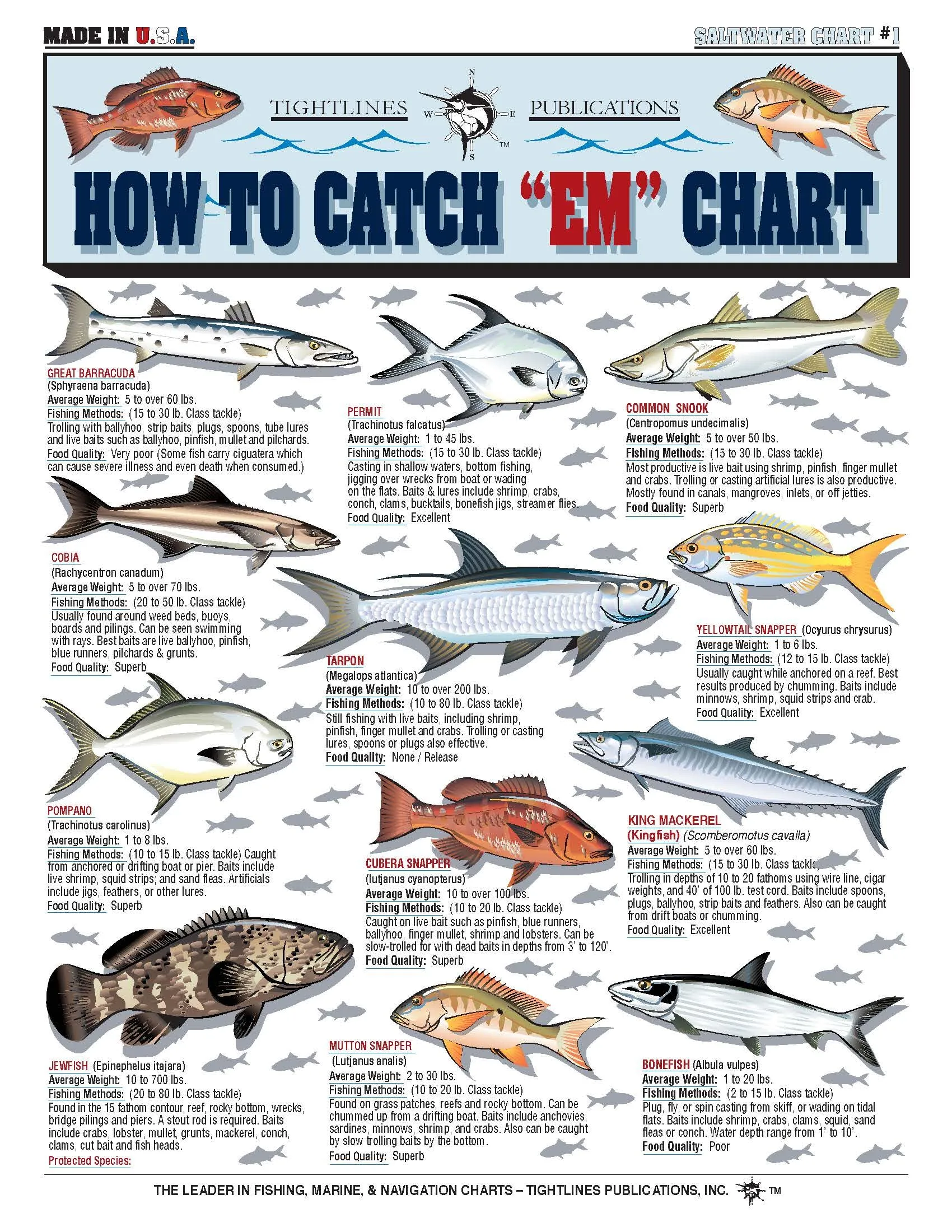
Explore the Fishermans Saltwater Fish Chart #1 for expert tips on catching Barracuda, Tarpon, and more!

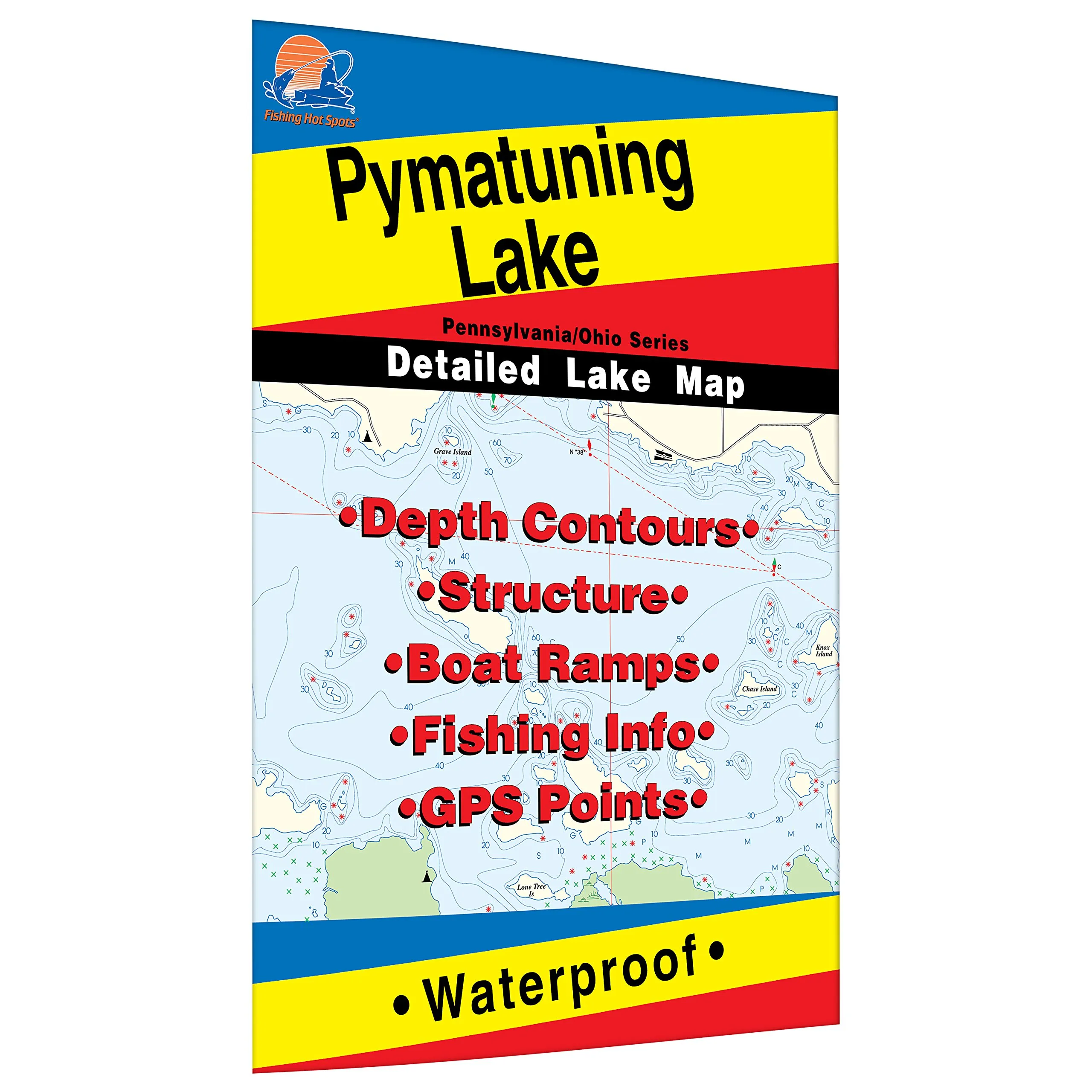
Pymatuning Lake Fishing Map – Durable Waterproof, Expertly Researched, Walleye & Crappie Fishing Guide

$14.95
Explore Pymatuning Lake with this durable, waterproof fishing map. Expertly researched for walleye, crappie, and more.

Delta Ca Fishing Map – Detailed Legends, 1.5 x 10.5 x 22.4 cm, High-Quality Fishing Equipment

$15.96
Discover the Delta Ca Fishing Map featuring extensive detailed legends. Perfect for all fishing enthusiasts!

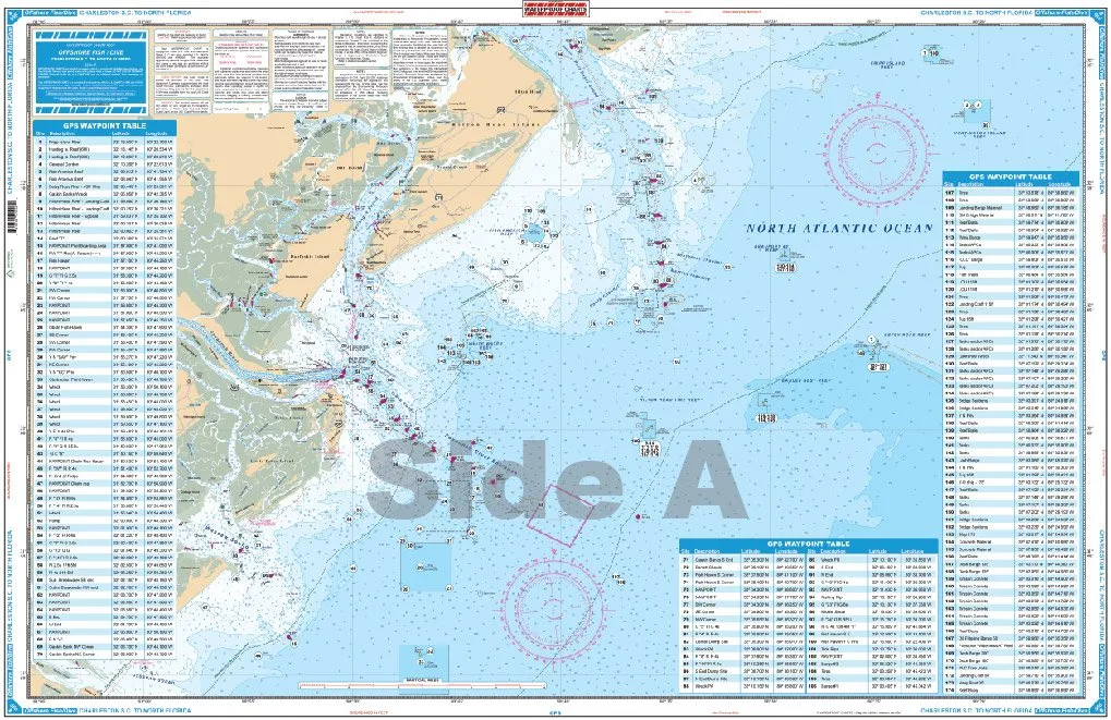
99F North Florida Waterproof Charts for Fishing, Offshore Dive, Georgia & North Carolina

$30.49
Explore the 99F North Florida Waterproof Charts, perfect for fishing and diving in Georgia & North Carolina.

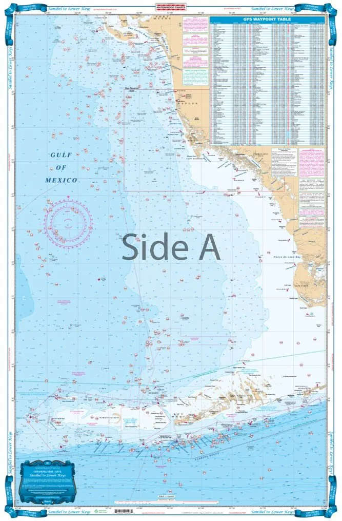
Waterproof Charts 9F Sanibel to Lower Keys Fishing & Diving – Durable Marine Navigation Tools

$30.49
Explore the waters with Waterproof Charts 9F Sanibel to Lower Keys. Ideal for fishing and diving adventures.

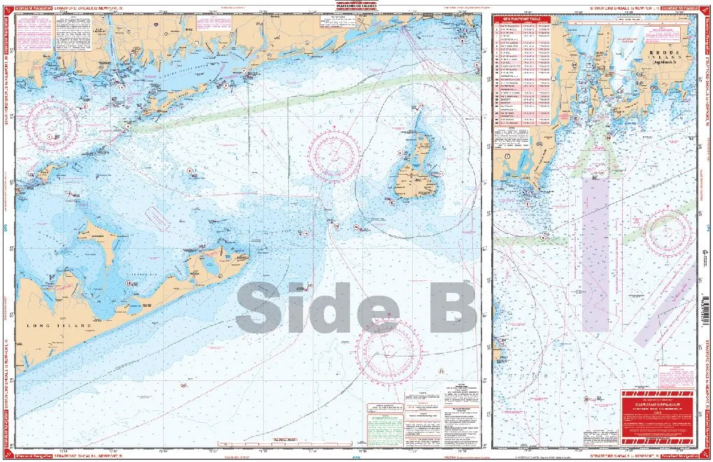
Standard Navigation Chart 27 Stratford Shoal to Newport RI – Waterproof, Foldable, Tear Resistant

$22.91
Explore the waters from Port Jefferson to Newport RI with this waterproof, foldable chart featuring 29 GPS waypoints.

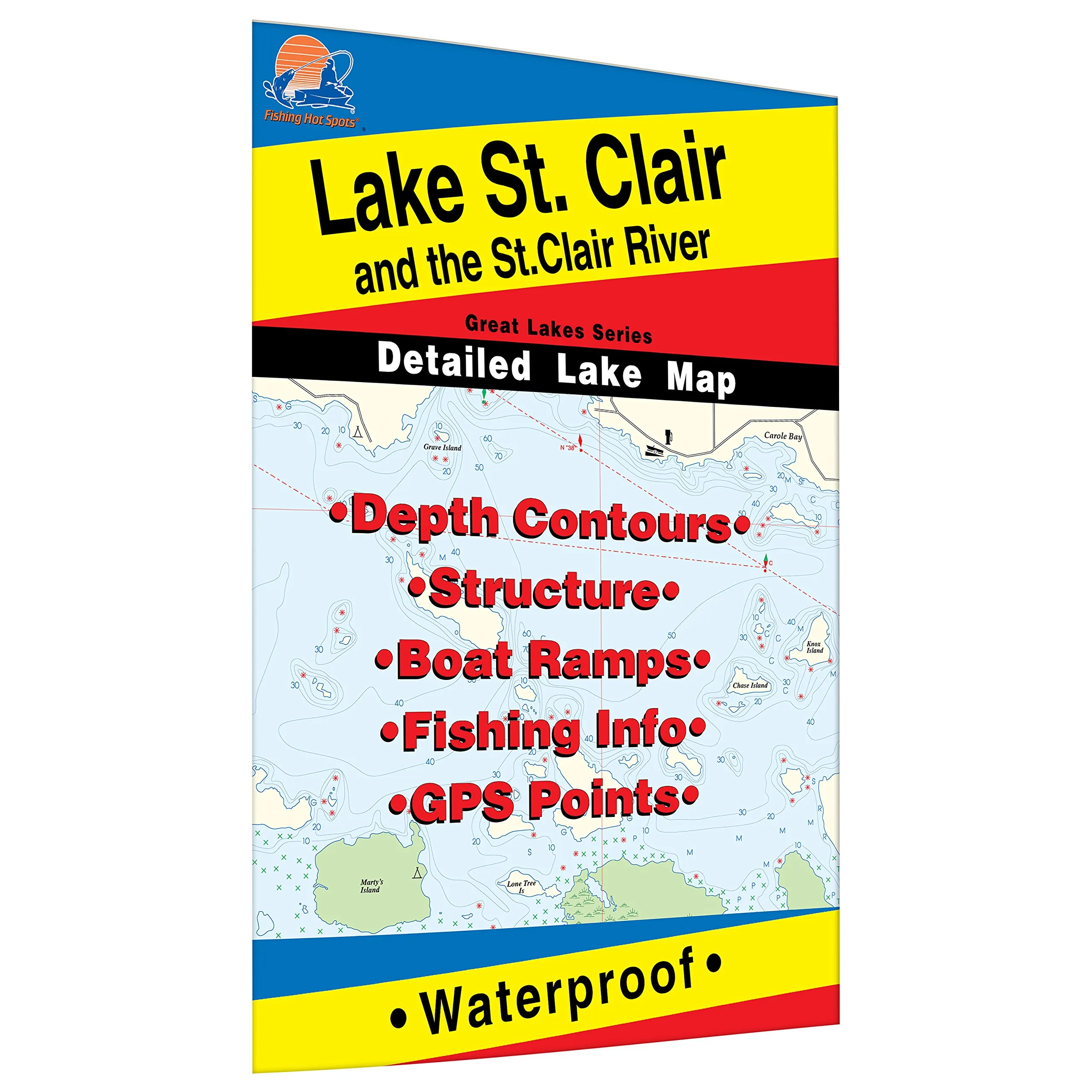
St. Clair River Fishing Map – Durable Waterproof Fishing Guide for Smallmouth, Muskie, Walleye

$14.95
Discover the St. Clair River Fishing Map, your ultimate guide to premier fishing spots in MI/ONT.

FISH-N-MAP Puget Sound South – Best in Class Fishing Map for Outdoor Enthusiasts

$16.96
Discover the FISH-N-MAP Puget Sound South, the best fishing map designed for outdoor enthusiasts.

Standard Laminated Map Shell Beach/Hopedale 22”x34” – Perfect for Fishermen and Outdoor Enthusiasts

$26.15
Explore hidden spots with the Standard Laminated Map of Shell Beach/Hopedale. Perfect for outdoor adventures!

18 Northwest Waterproof Charts – Florida Maxi Standard Navigation – Made in the USA

$30.49
Discover the 18 Northwest Waterproof Charts for Florida maxi standard navigation, designed for durability and precision.

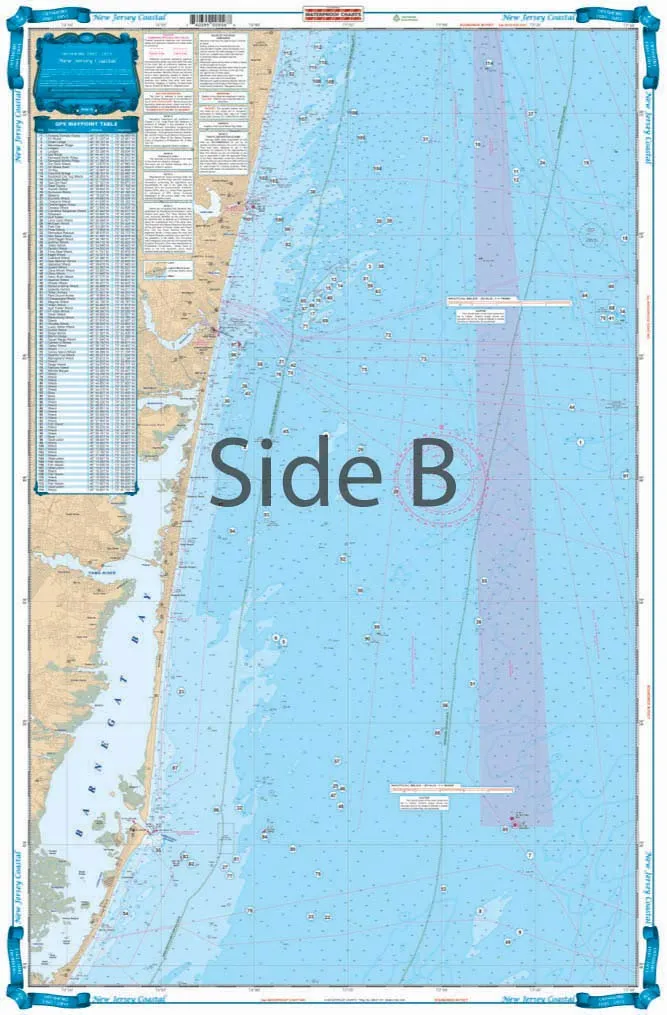
Offshore Fishing and Diving Chart for New Jersey – Two-Sided, Waterproof, 25′ x 38′, Tear-Resistant

$38.99
Discover the ultimate fishing and diving chart for New Jersey! Waterproof, two-sided, and tear-resistant, featuring detailed GPS positions for reefs and wrecks.

Overview

With Trout Derby, you can trust that you are investing in quality fishing equipment that enhances your experience on the water. Our commitment to excellence ensures that every product we offer meets the highest standards, providing you with the reliability and performance necessary for successful fishing excursions.

Newsletter

Signup our newsletter to get update information, news & insight

Copyright © 2007-2024  All rights reserved.

Start typing to see posts you are looking for.
Shop
Wishlist
0 items Cart
My account