$29.95
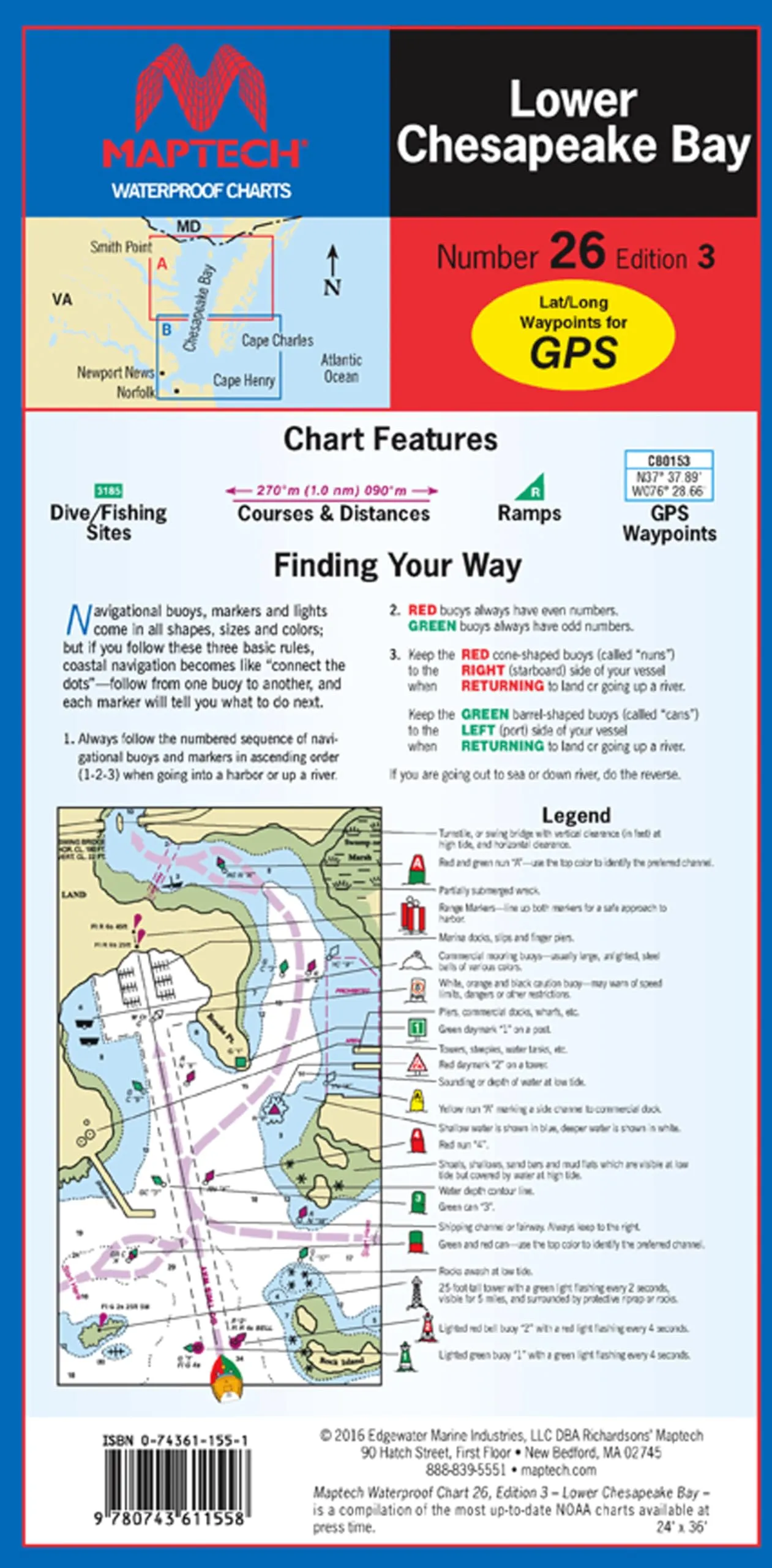
Durable waterproof chart of Lower Chesapeake Bay, featuring clear navigational details and easy storage. Perfect for boating enthusiasts and navigators.
Discover the essential Lower Chesapeake Bay Waterproof Chart, 3rd Edition, designed for both avid boaters and navigational experts. This chart, measuring 24 inches by 36 inches when fully opened and conveniently sized at 6 inches by 12 inches when folded, is crafted with high-quality waterproof synthetic paper. This feature not only ensures longevity but also protects the chart from water damage, allowing you to navigate with confidence in various marine conditions.
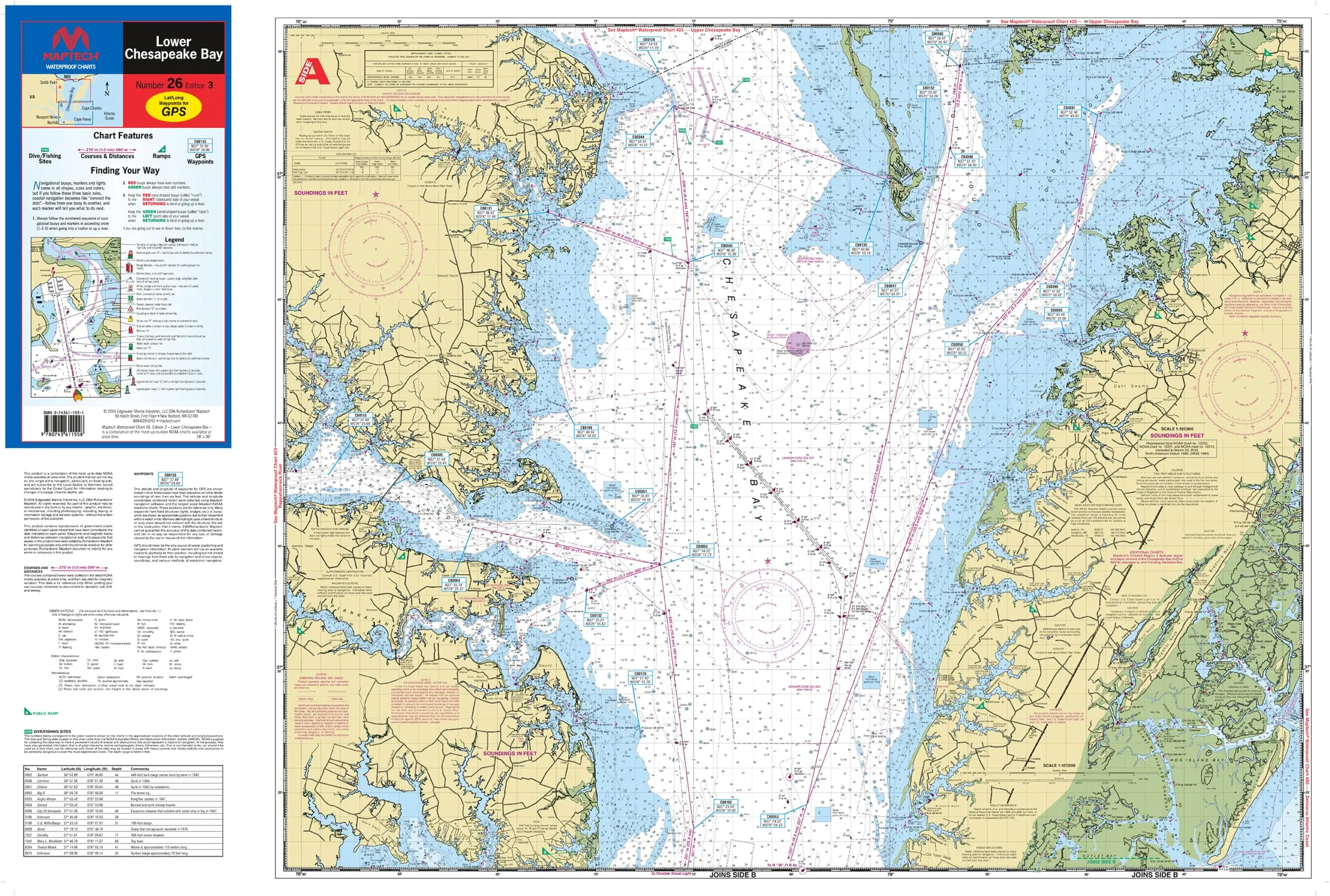
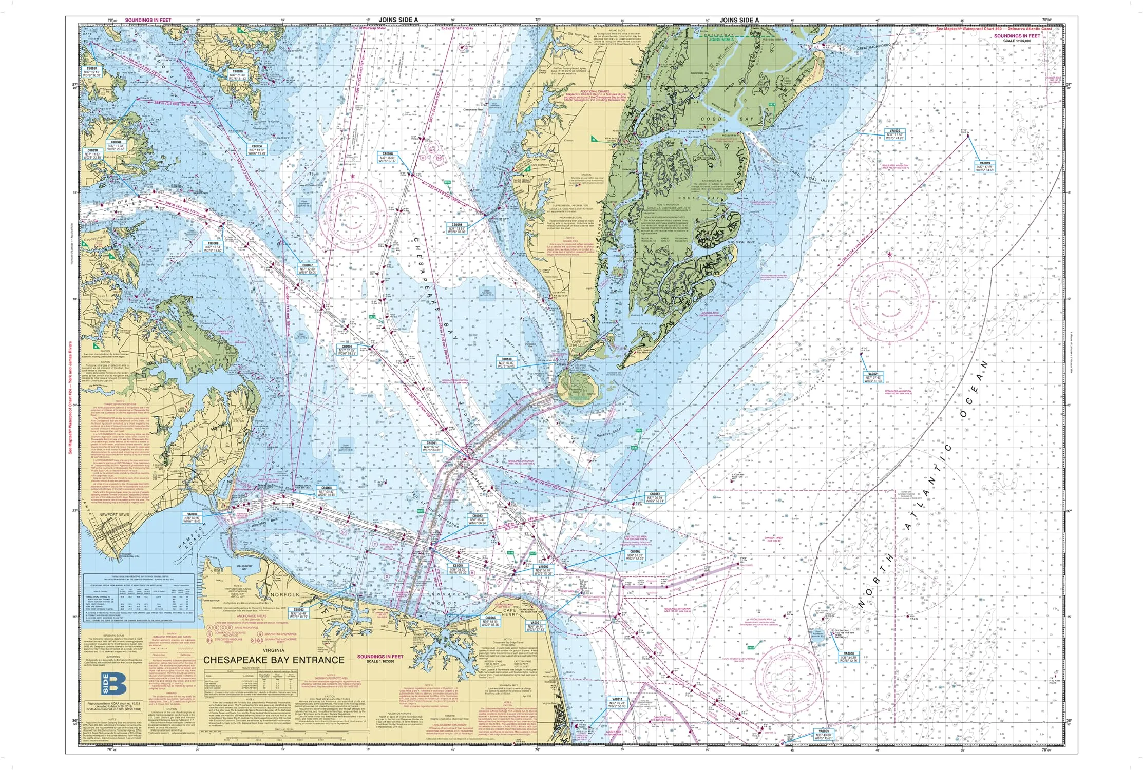
This user-friendly chart is perfect for planning your journey from Smith Point to the Chesapeake Approaches. The flip-fold design makes it easy to handle and store, fitting perfectly in your tackle box or glove compartment. Its crisp imagery and clear navigation details ensure you can easily read important information, such as waypoints for major buoys, courses, distances, and ramp locations.
With a scale of 1:107,000, this chart provides a comprehensive view of the area, including insets that enhance navigational accuracy. Whether you’re a seasoned mariner or a weekend warrior, this planning chart is an indispensable tool for safe and enjoyable boating. The chart not only serves its practical purpose but also adds value to your nautical collection.
In summary, the Lower Chesapeake Bay Waterproof Chart, 3rd Edition is:
| Feature | Description |
| Size | 24 inches x 36 inches (open), 6 inches x 12 inches (folded) |
| Material | Waterproof synthetic paper |
| Scale | 1:107,000 |
| Design | User-friendly flip-fold format |
| Crisp Imagery | Easy-to-read navigational information |
This chart is a great investment for anyone who spends time on the water, whether for fishing, sailing, or simply exploring the beautiful waterways of the Chesapeake region. Equip yourself with the best navigation tools available and ensure you have an enjoyable and safe experience on the water!
| brand |
|---|
Related products
Galveston Waterproof Wade Fishing Chart with GPS Locations for Easy Access to Prime Spots
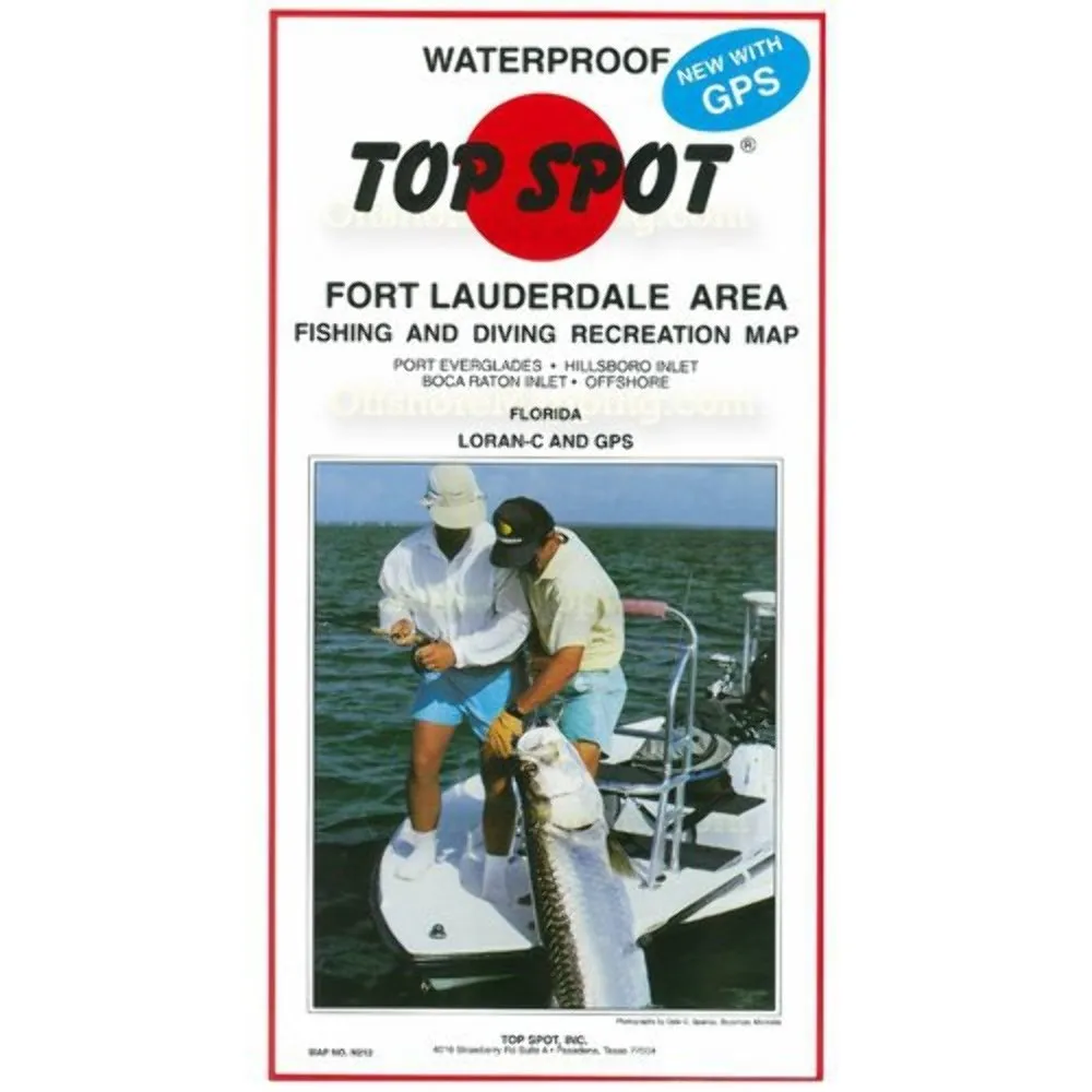
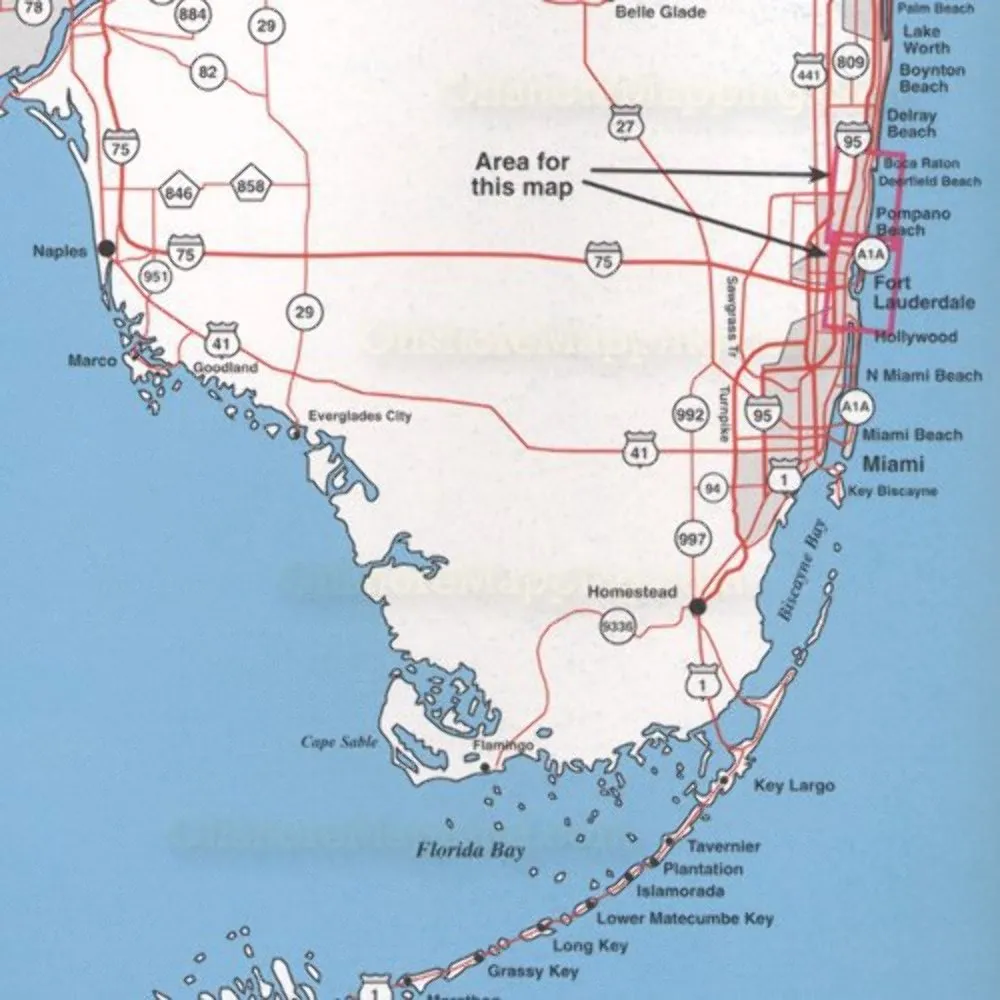
Map N212 Ft Lauderdale Fishing Equipment by Topspot – No Batteries Required, Made in USA
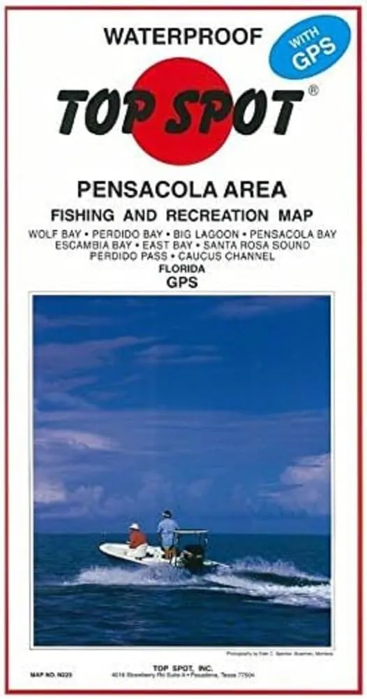
Topspot Waterproof Fishing Map N223 for Pensacola Area – Detailed GPS Coordinates Included
Upper Chesapeake Bay Waterproof Chart by Maptech – New, Size 25, Ideal for Navigating Waters
Overview
With Trout Derby, you can trust that you are investing in quality fishing equipment that enhances your experience on the water. Our commitment to excellence ensures that every product we offer meets the highest standards, providing you with the reliability and performance necessary for successful fishing excursions.
Our Services
Quick Links
Newsletter
Signup our newsletter to get update information, news & insight
Copyright © 2007-2024 All rights reserved.



Reviews
There are no reviews yet.