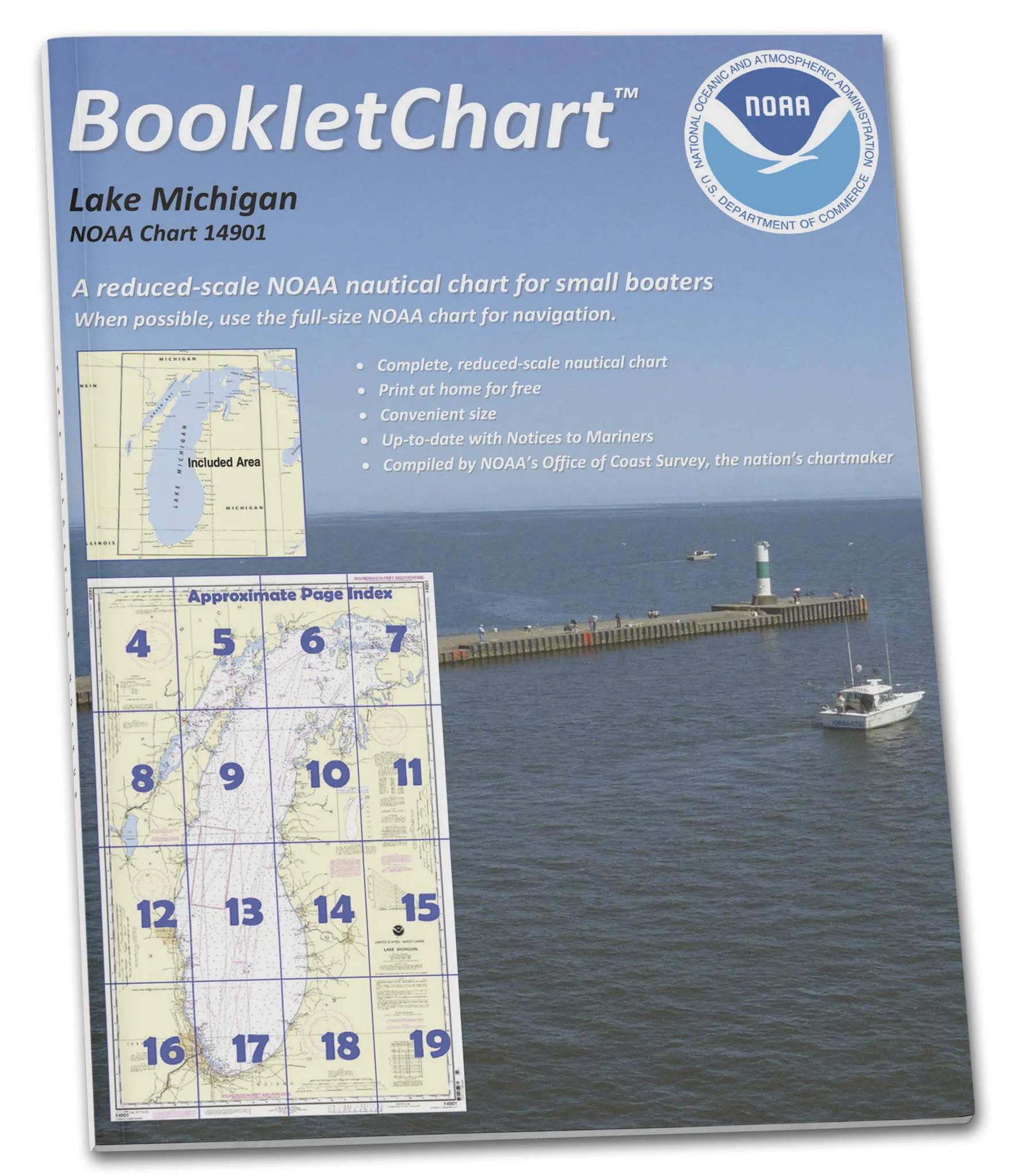
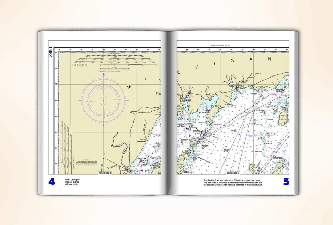
Lake Michigan NOAA Chart 14901 Booklet – Compact, Durable Paper, Updated Navigation for Boaters

$12.95
Discover the Lake Michigan NOAA Chart 14901 Booklet. Compact and durable, it provides updated navigation for safe boating adventures.

NGA Chart 402: Caribbean Sea – High Quality Waterproof Nautical Chart by Paradise Cay Publications

$18.95
Explore the Caribbean Sea with this waterproof NGA Chart 402. Designed for mariners, it's durable and displays the latest NOAA data.

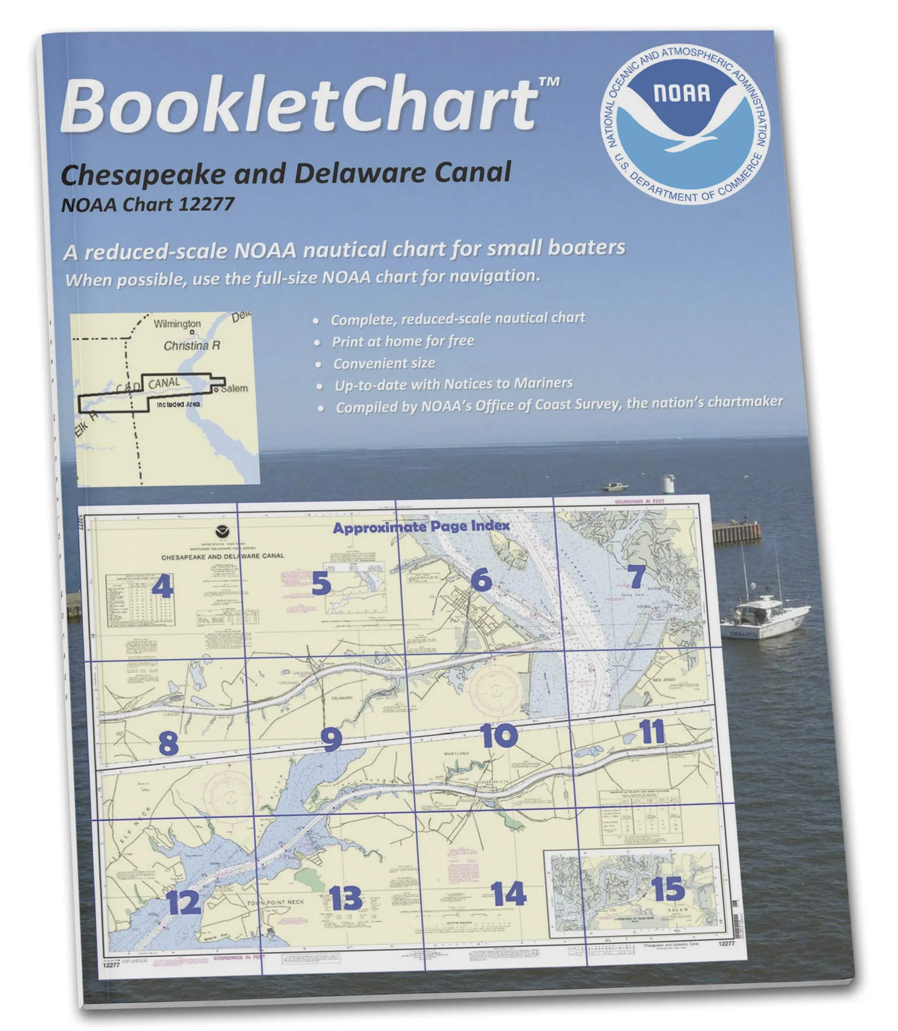
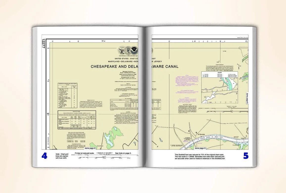
NOAA BookletChart 12277 Chesapeake and Delaware Canal – Compact Nautical Chart for Boaters

$12.95
Discover the NOAA BookletChart 12277 for the Chesapeake and Delaware Canal. Portable, updated nautical chart for safe boating adventures.

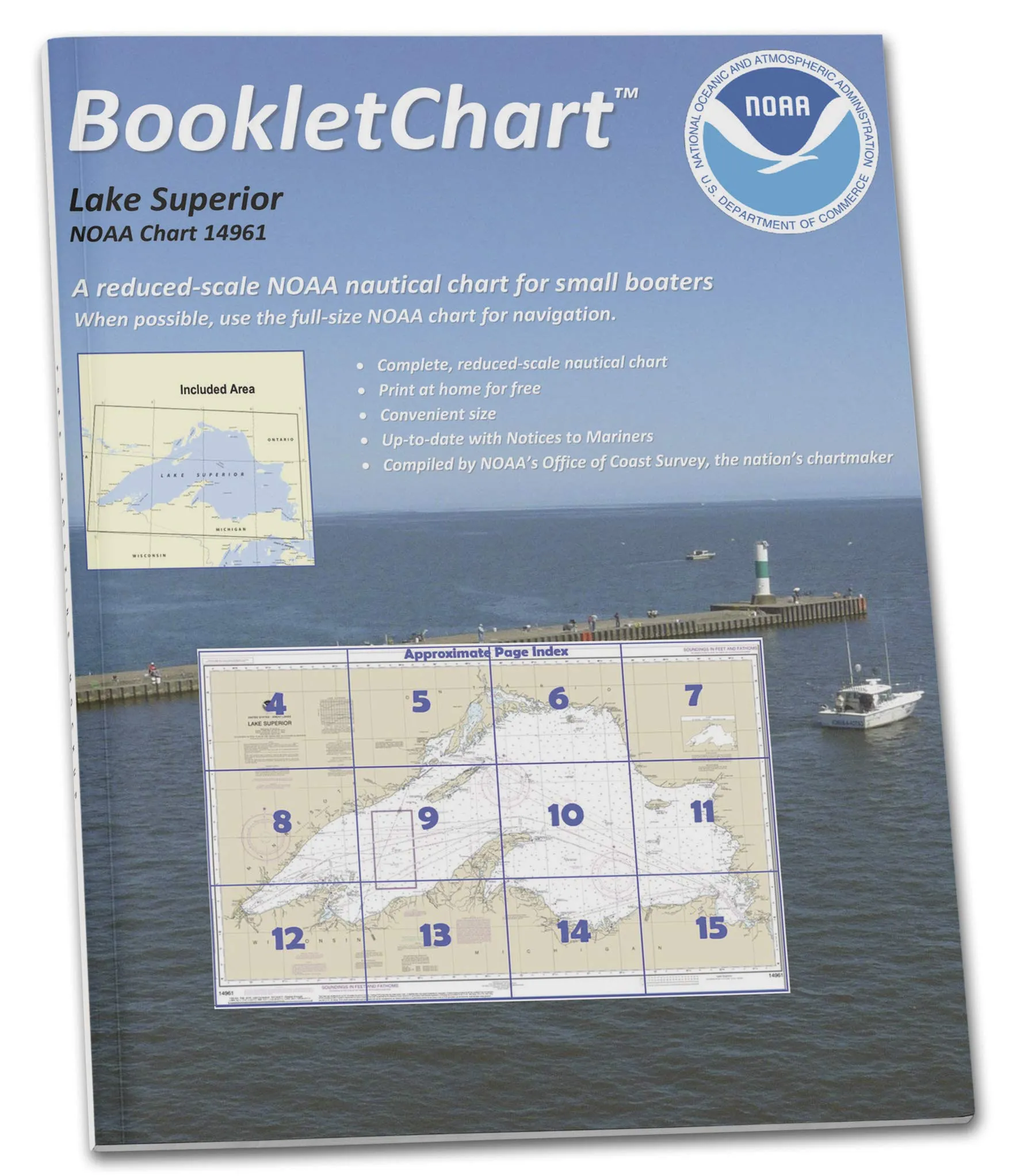
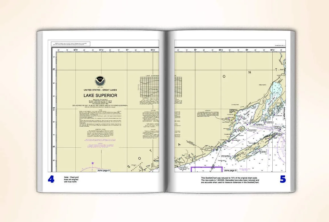
NOAA BookletChart 14961 Lake Superior – Handy 8.5 x 11 Inch Nautical Navigation Guide

$12.95
Discover the NOAA BookletChart 14961 for Lake Superior. This 8.5 x 11 inch chart is perfect for safe navigation.

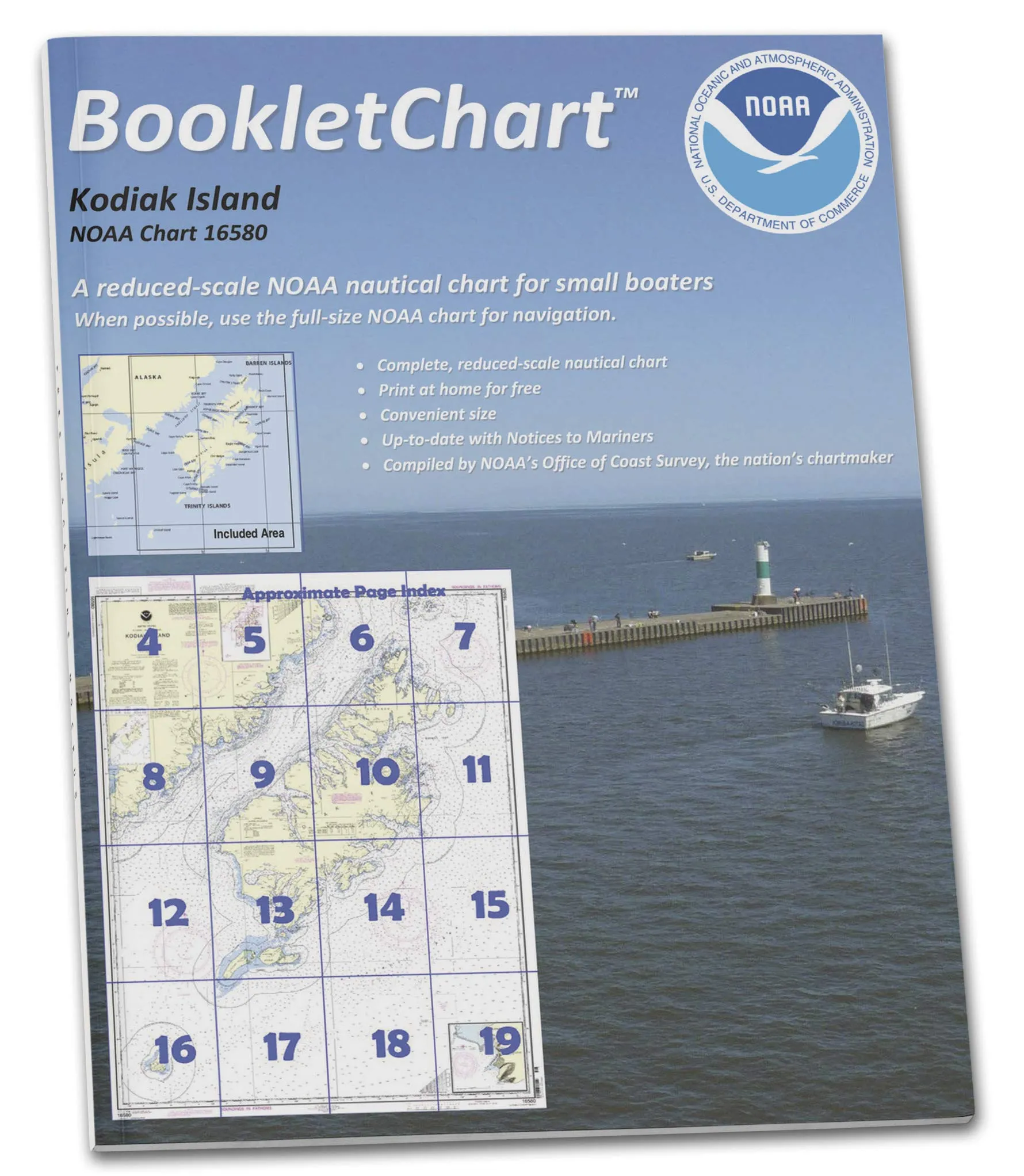
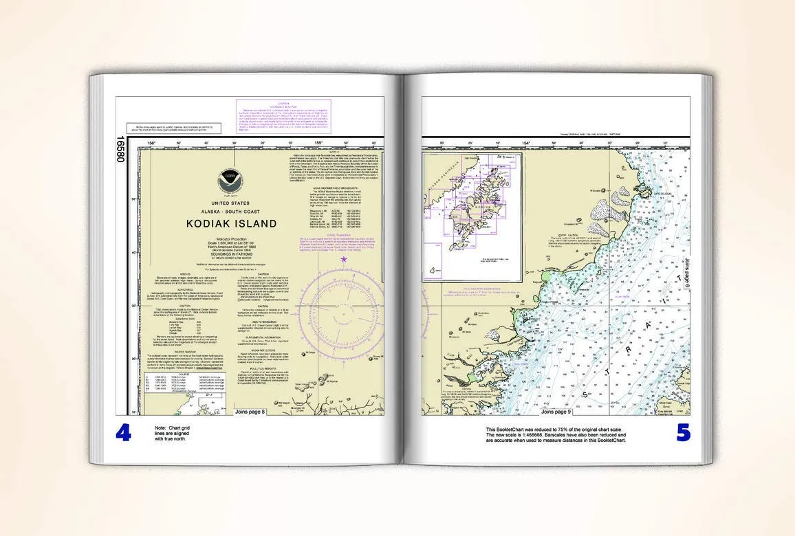
NOAA BookletChart 16580 Kodiak Island; Southwest Anchorage, Handy 8.5′ x 11′ Nautical Chart

$12.95
Explore the NOAA BookletChart 16580, a compact 8.5' x 11' paper chart for safe navigation in Kodiak Island waters.

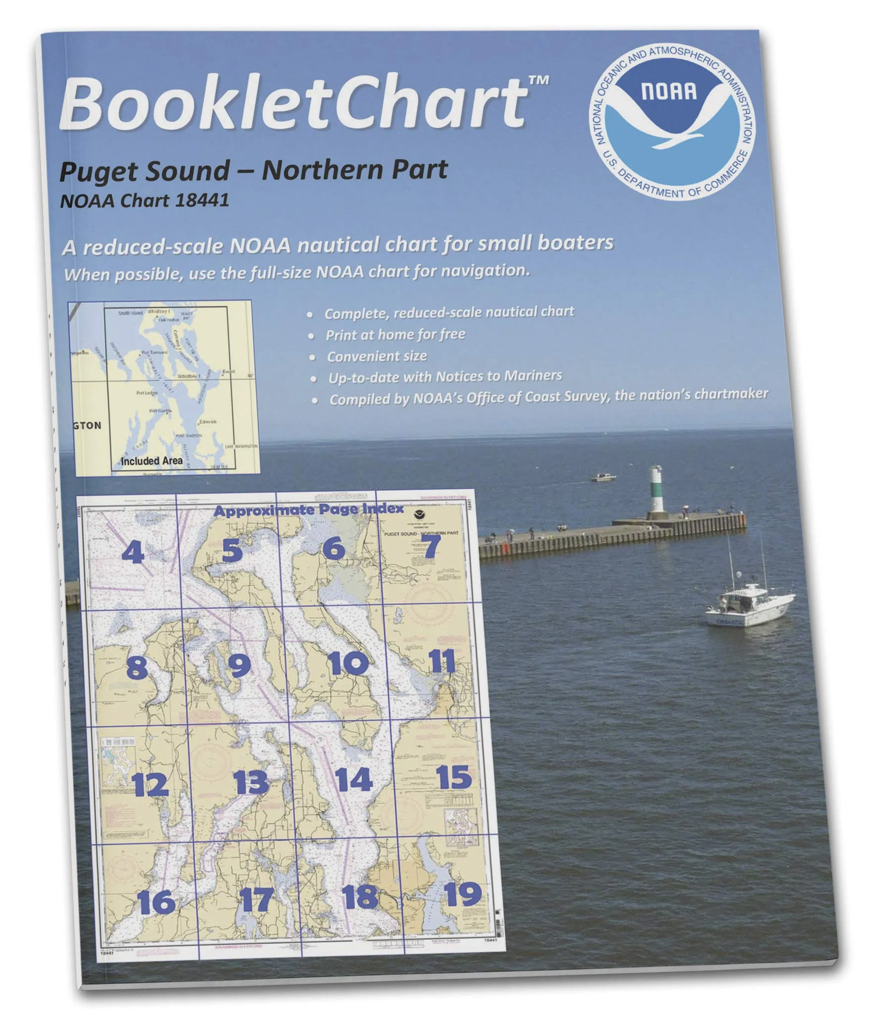
NOAA BookletChart 18441: Puget Sound-Northern Part, Handy 8.5′ x 11′, Durable Paper for Small Craft

$12.95
Explore NOAA BookletChart 18441 for Puget Sound-Northern Part. Convenient 8.5' x 11' size, perfect for small vessels. Stay safe with updated nautical information.

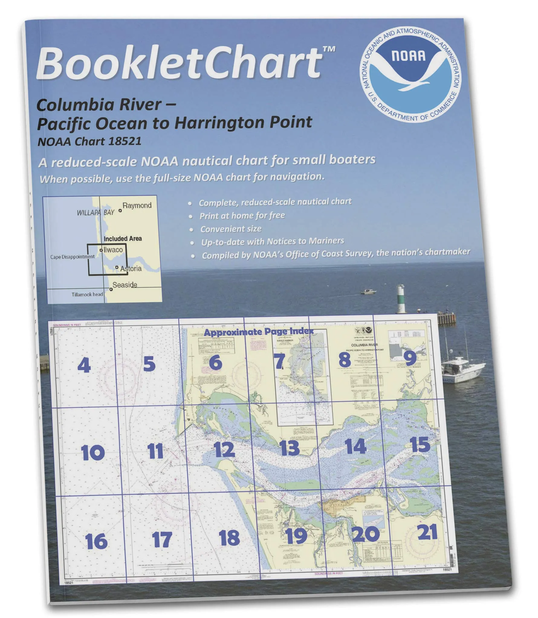
NOAA BookletChart 18521 Columbia River to Harrington Point; 8.5′ x 11′ Format for Small Craft

$12.95
Explore the NOAA BookletChart 18521 for safe navigation on small vessels. Compact 8.5' x 11' format with updated nautical information.

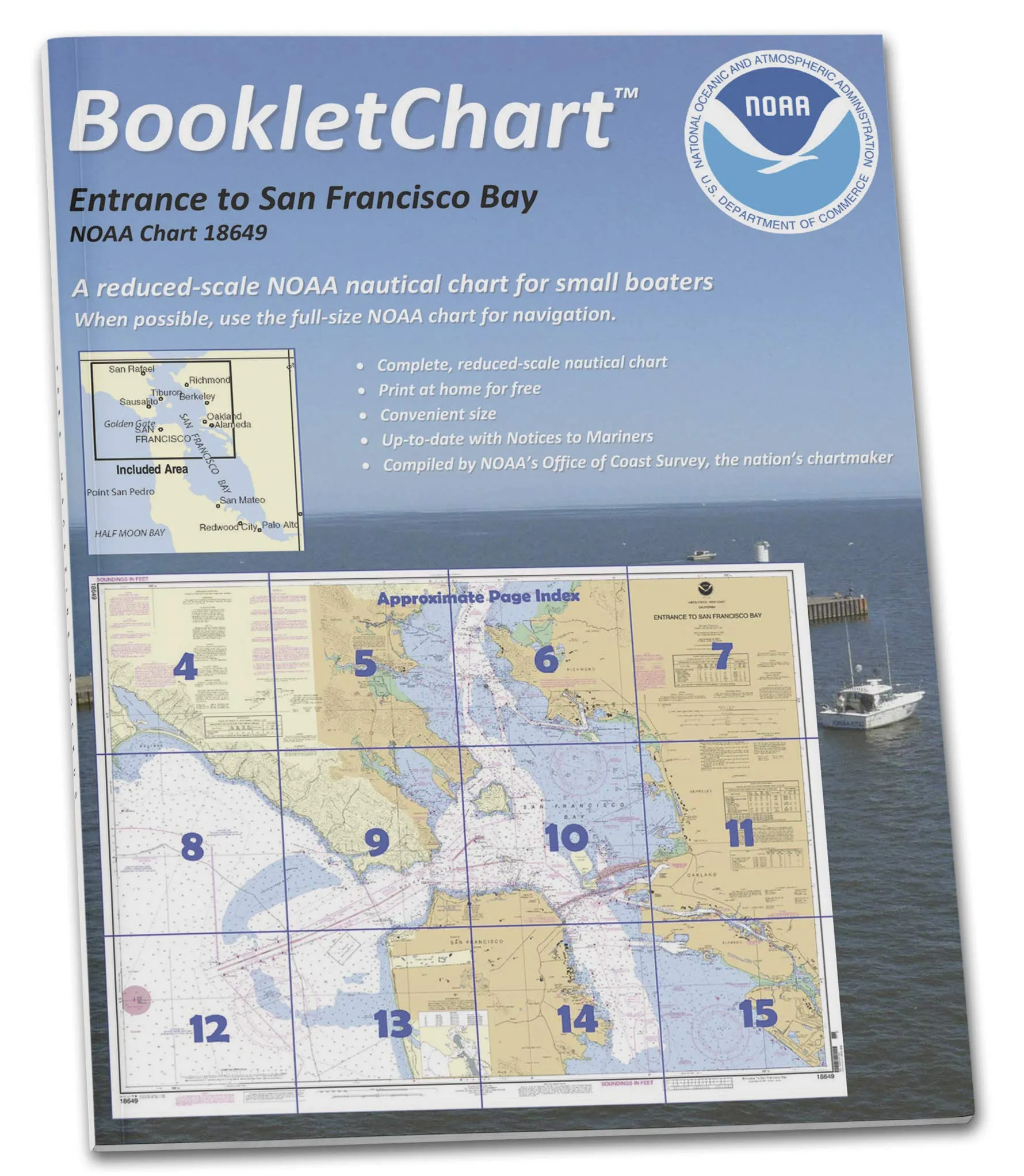
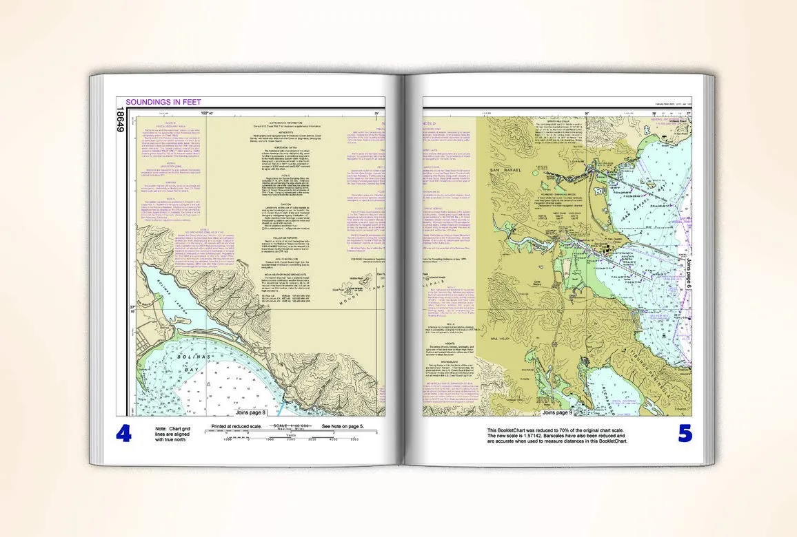
NOAA BookletChart 18649: San Francisco Bay Navigation Guide, Handy 8.5′ x 11′ Size

$12.95
Navigate San Francisco Bay with NOAA BookletChart 18649, an 8.5' x 11' paper chart designed for small craft.

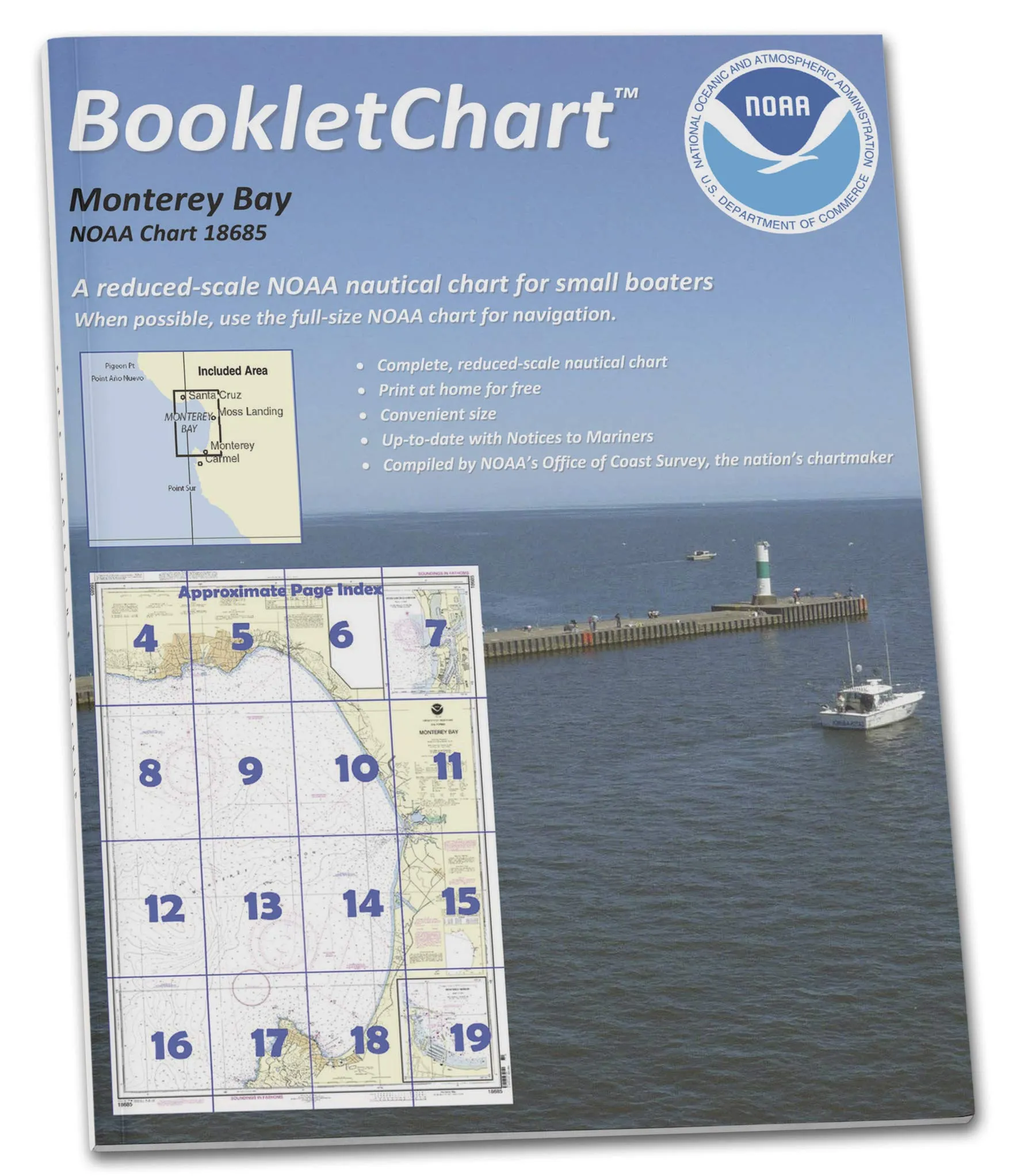
NOAA BookletChart 18685 Monterey Bay, Harbor & Moss Landing – Handy Nautical Chart for Boaters

$12.95
Navigate safely with NOAA BookletChart 18685, featuring Monterey Bay & Santa Cruz. Compact, accurate, and updated for a secure boating experience.

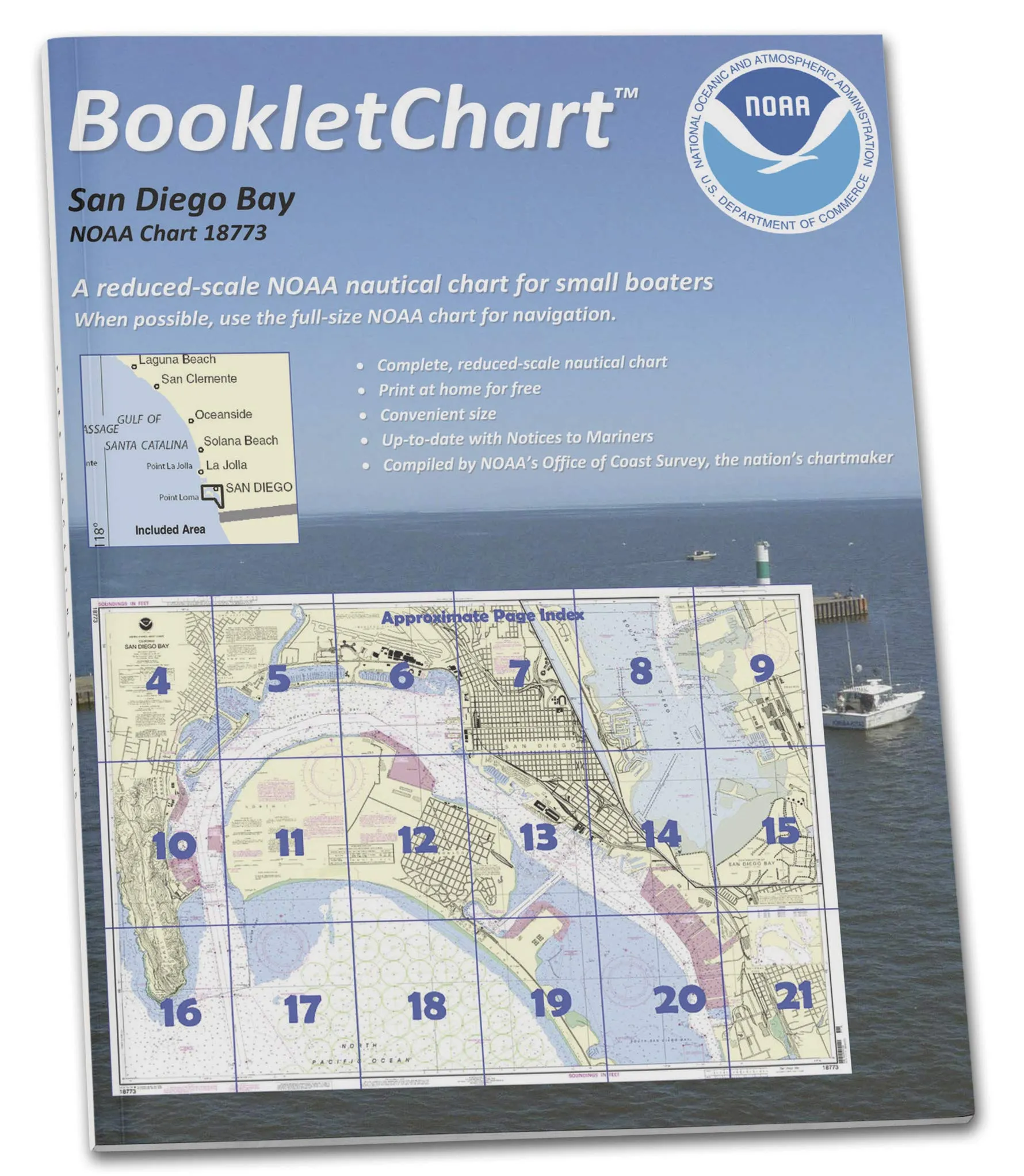
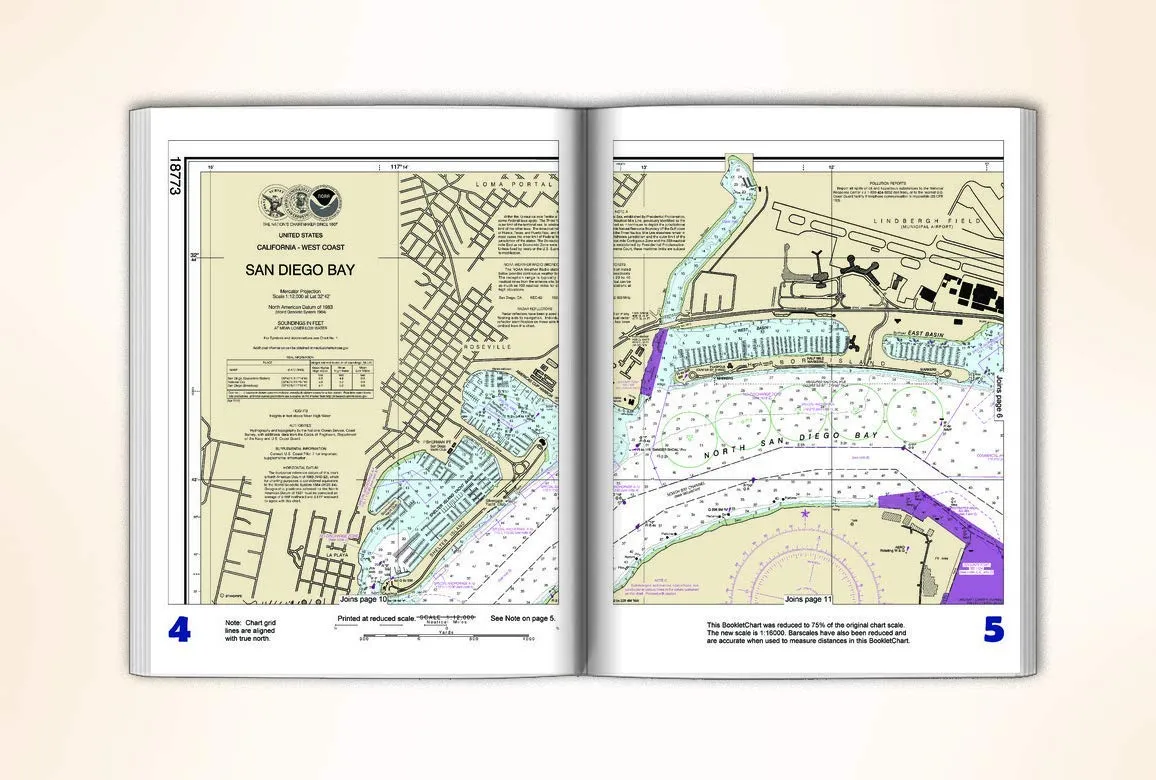
NOAA BookletChart 18773 San Diego Bay – Handy 8.5 x 11 Inch Nautical Chart for Boaters

$12.95
Convenient 8.5 x 11 inch NOAA BookletChart 18773 for San Diego Bay. Updated nautical information for safe boating.

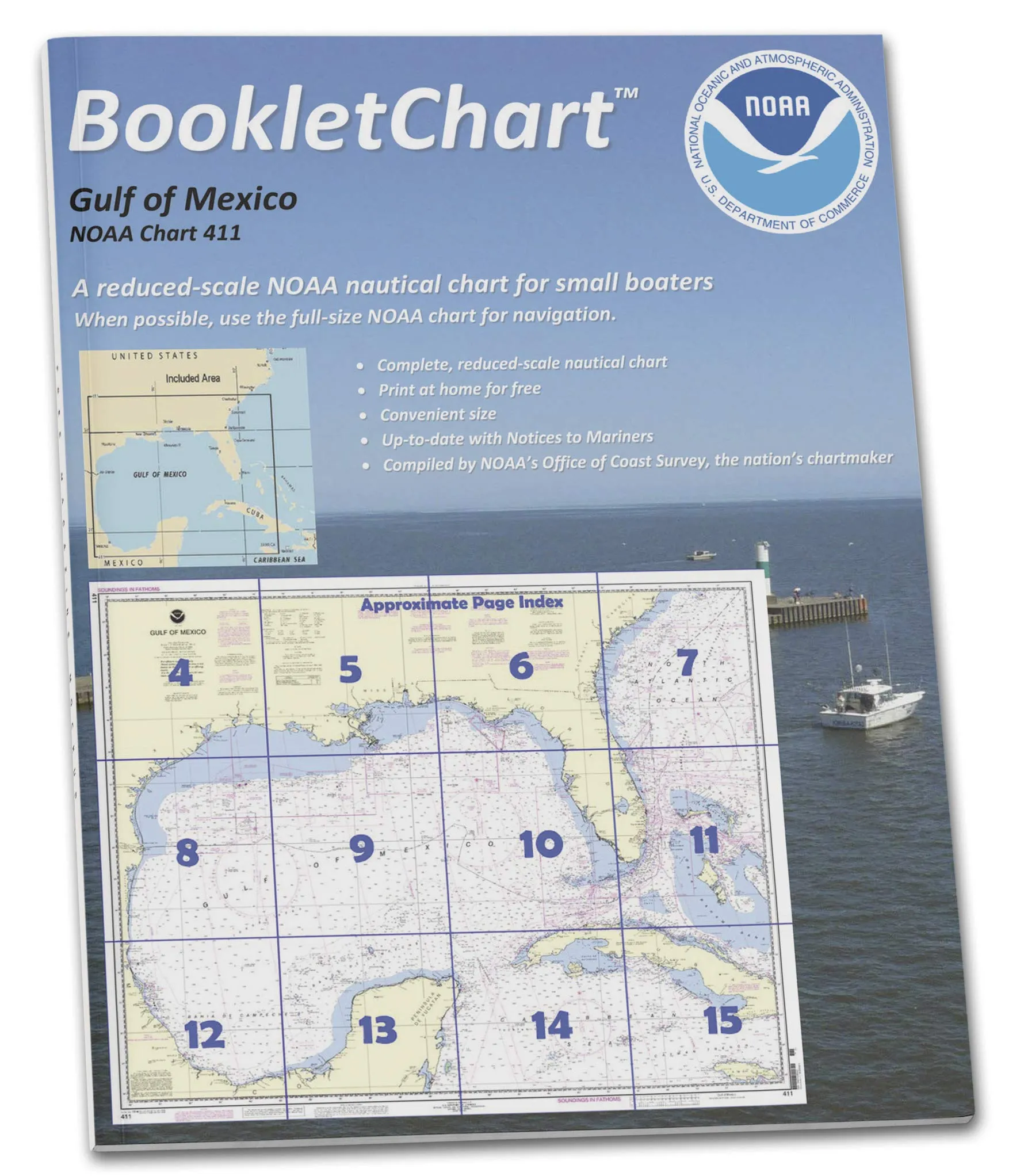
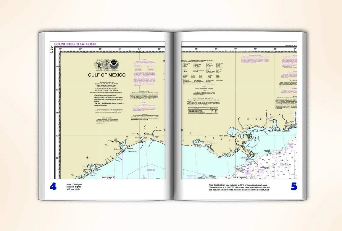
NOAA BookletChart 411: Gulf of Mexico – 8.5 x 11 Inch Navigation Chart for Recreational Boaters

$12.95
Discover the NOAA BookletChart 411 for the Gulf of Mexico, a compact, detailed navigation chart for safe boating.

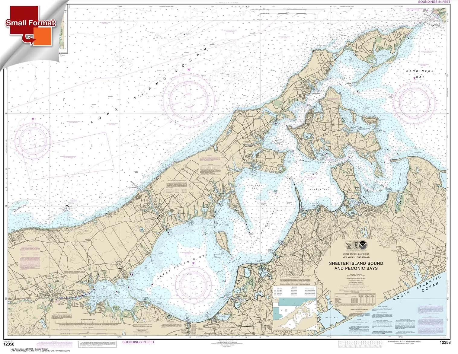
NOAA Chart 12358: Shelter Island Sound & Peconic Bays, 21’x27′ Waterproof Small Format

$18.95
Explore NOAA Chart 12358 featuring Shelter Island Sound and Peconic Bays in a compact, waterproof design. Ideal for planning, not navigation.

NOAA Chart 18448: Puget Sound-Southern Part Booklet – 8.5 x 11 inches by Paradise Cay Publications

$12.95
Discover the NOAA Chart 18448 Booklet for Puget Sound-Southern Part, perfect for safe navigation on small vessels.

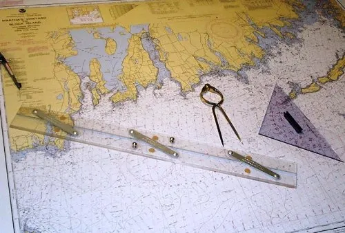
NOAA Nautical Training Chart 1210TR for Martha’s Vineyard – Certified by NOAA & U.S. Coast Guard

$14.00
Explore the NOAA Nautical Training Chart 1210TR for Martha's Vineyard, certified for commercial vessels. Trust in quality from Paradise Cay Publications.

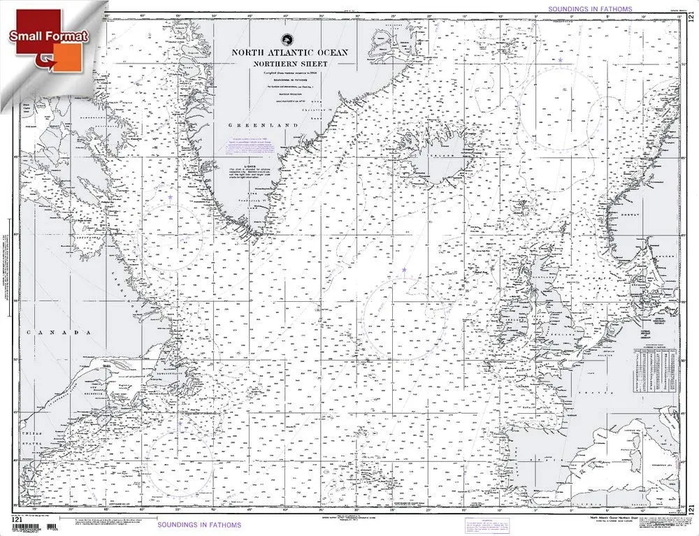
North Atlantic Ocean NGA Chart 121 by Paradise Cay Publications – Waterproof, Tear-Resistant

$18.95
Explore the North Atlantic Ocean with NGA Chart 121. Printed on tear-resistant material, ensuring durability and display quality for mariners.

Paradise Cay NOAA Chart 12280 Chesapeake Bay Booklet 8.5 x 11 for Recreational Boaters

$12.95
Compact NOAA Chart 12280 for Chesapeake Bay. Perfect 8.5 x 11 booklet for safe navigation on the water.

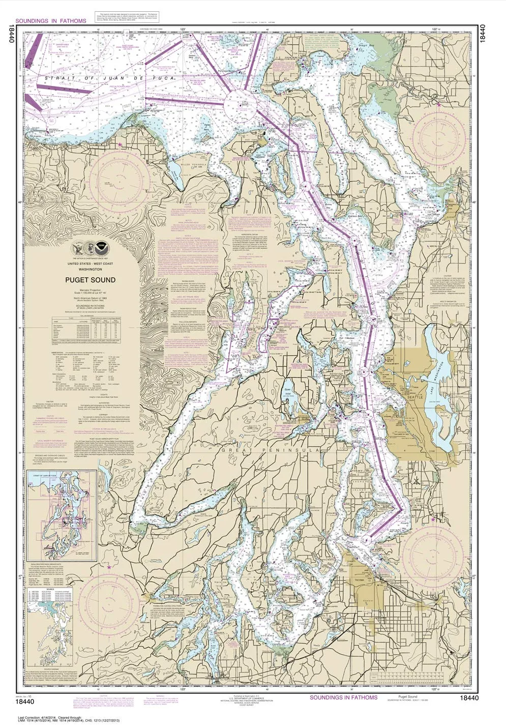
Paradise Cay NOAA Chart 18440 – Puget Sound, Small Format, Waterproof & Tear-Resistant

$18.95
Explore the stunning Puget Sound with NOAA Chart 18440. This small format chart is waterproof, tear-resistant, and perfect for planning your next nautical adventure.

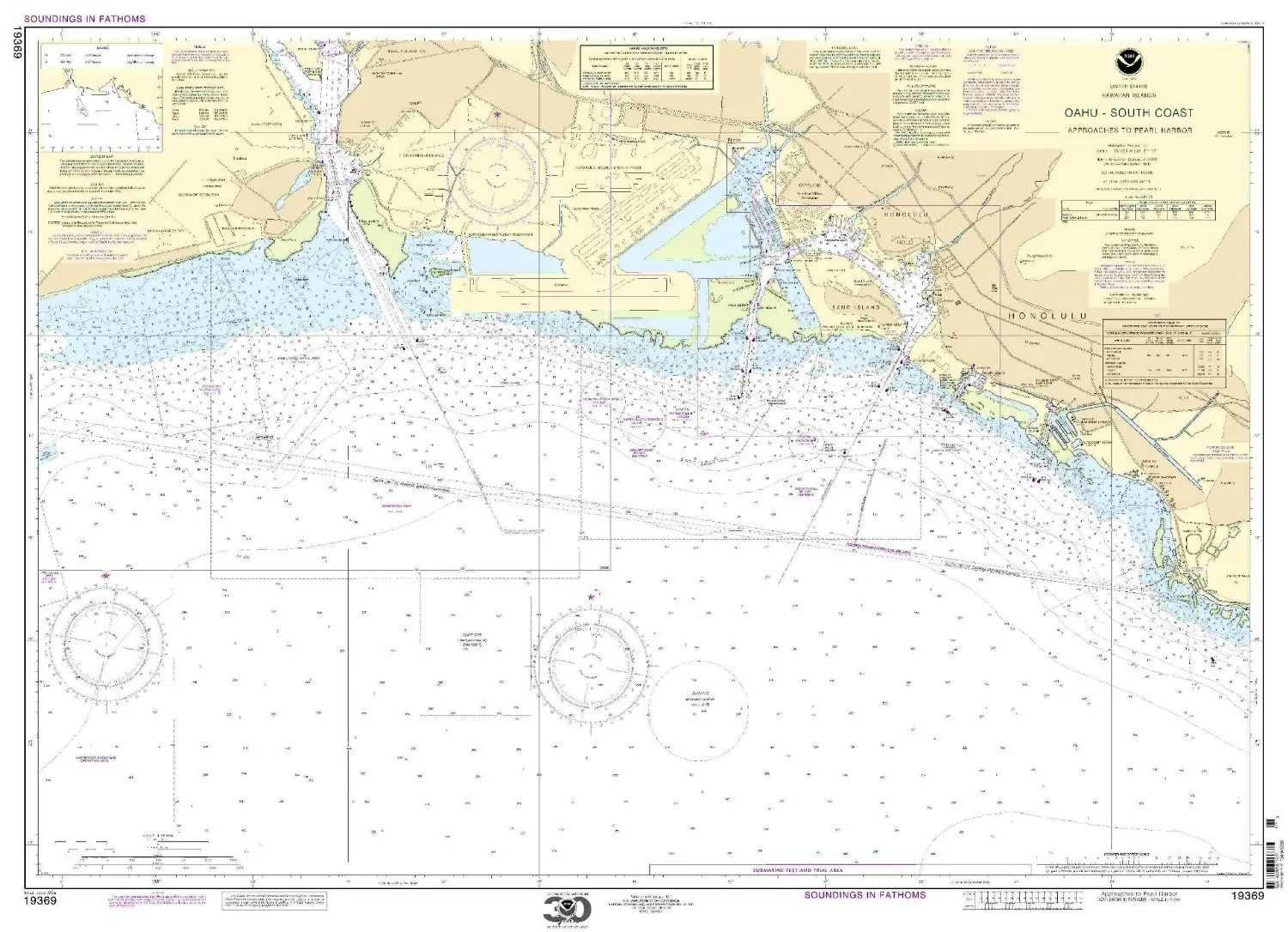
Paradise Cay NOAA Chart 19369 O’ahu South Coast Approaches to Pearl Harbor – Water-Resistant

$27.95
Explore the O'ahu South Coast with NOAA Chart 19369. Printed on durable, water-resistant paper for quality navigation.

Overview

With Trout Derby, you can trust that you are investing in quality fishing equipment that enhances your experience on the water. Our commitment to excellence ensures that every product we offer meets the highest standards, providing you with the reliability and performance necessary for successful fishing excursions.

Newsletter

Signup our newsletter to get update information, news & insight

Copyright © 2007-2024  All rights reserved.

Start typing to see posts you are looking for.
Shop
Wishlist
0 items Cart
My account