Skip to content
Trout Derby
About
Cart
Checkout
Collections
Contact
Home
My Account
Payment Methods
Privacy Policy
Return Policy
Shipping Policy
Shop
Terms of Use
Track your order
Trout Derby
Main Menu
About
Cart
Checkout
Collections
Contact
Home
My Account
Payment Methods
Privacy Policy
Return Policy
Shipping Policy
Shop
Terms of Use
Track your order
Home
/
Shop
/ Products tagged “nautical chart”
nautical chart
Showing 1–12 of 56 results
Default sorting
Sort by popularity
Sort by average rating
Sort by latest
Sort by price: low to high
Sort by price: high to low
Buy product
Charts & Maps
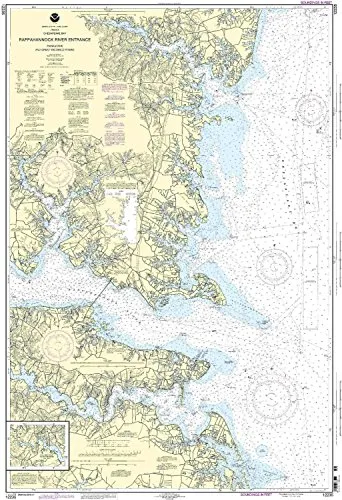
12235 Rappahannock River Nautical Chart – NOAA Approved, 50.65′ H x 33.75′ W, 1:40000 Scale
Rated
0
out of 5
$
20.94
Buy product
Buy product
Charts & Maps
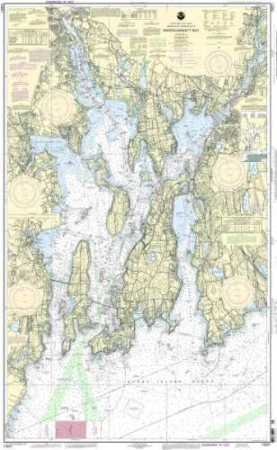
13221 Naragansett Bay NOAA Nautical Chart 1:40000 Scale 53.63” H x 33.33” W for Mariners
Rated
0
out of 5
$
20.94
Buy product
Buy product
Charts & Maps
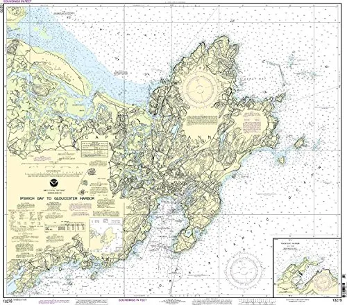
13279 Ipswich Bay to Gloucester Harbor NOAA Nautical Chart 1:20000, 36.03′ H x 39.96′ W
Rated
0
out of 5
$
20.94
Buy product
Buy product
Charts & Maps
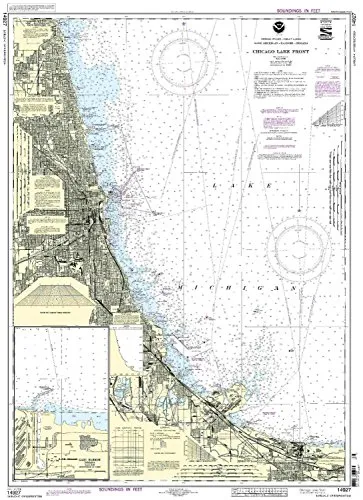
14927 Chicago Lake Front NOAA Nautical Chart – 1:60000 Scale, 39.79” H x 28.59” W, U.S. Coast Guard Approved
Rated
0
out of 5
$
20.94
Buy product
Buy product
Charts & Maps
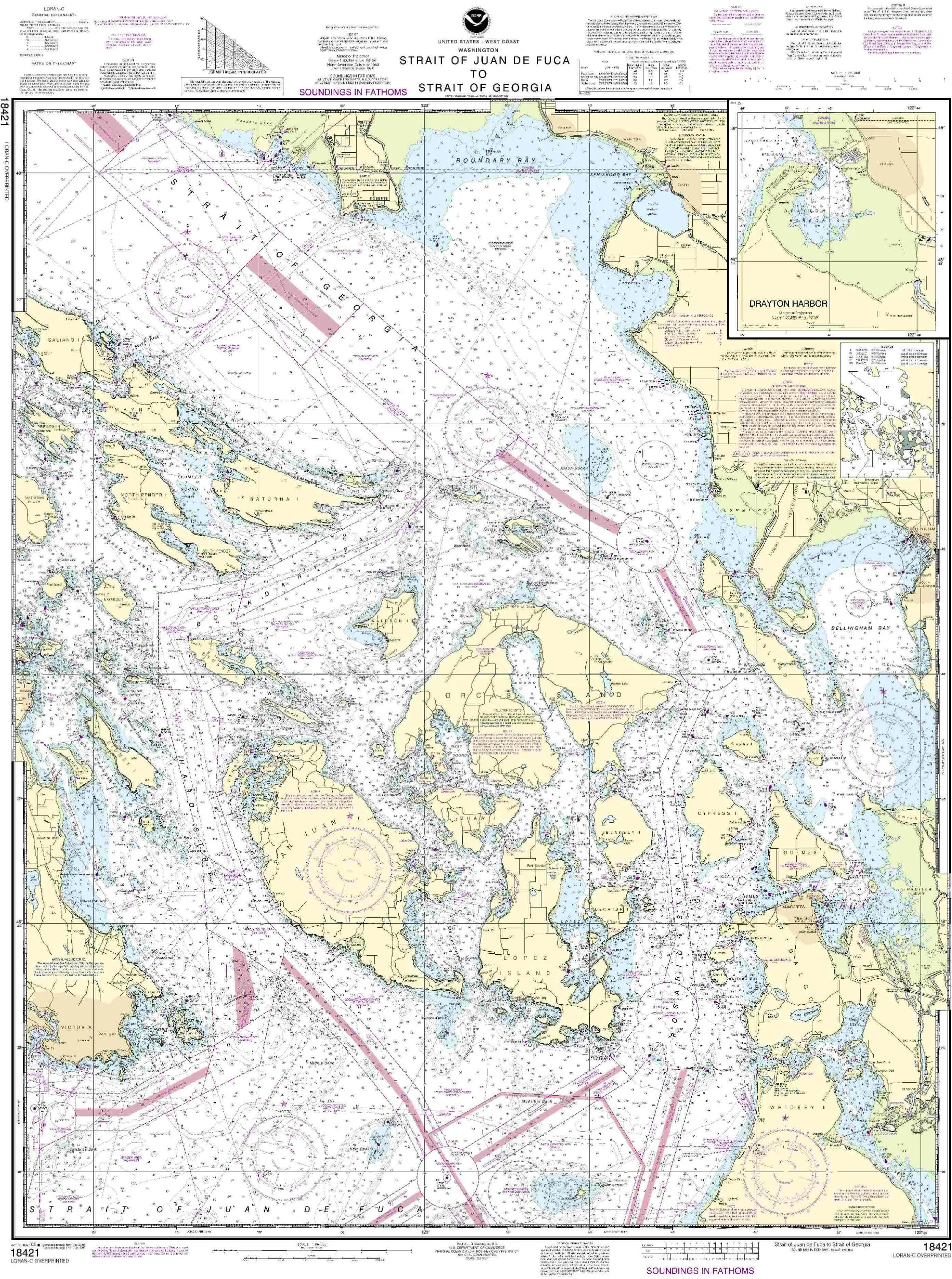
18421-Strait of Juan de Fuca to Strait of Georgia Nautical Chart, 45.54” H x 35.16” W
Rated
0
out of 5
$
27.95
Buy product
Buy product
Charts & Maps
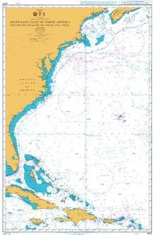
BA Chart 4403 South East Coast of North America, Bahamas & Greater Antilles – U.S. Coast Guard Approved
Rated
0
out of 5
$
59.95
Buy product
Buy product
Charts & Maps
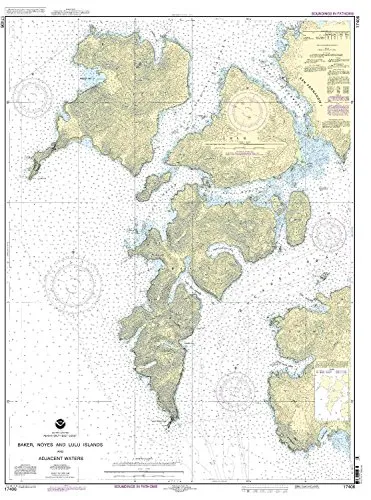
Baker, Noyes, and Lulu Island Nautical Chart – NOAA, 1:40000 Scale, 45.61” H x 34.03” W
Rated
0
out of 5
$
32.95
Buy product
Buy product
Charts & Maps
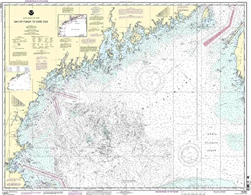
Bay of Fundy to Cape Cod Nautical Chart – NOAA Approved, Printed on Demand, Up-to-Date Updates
Rated
0
out of 5
$
20.94
Buy product
Buy product
Charts & Maps
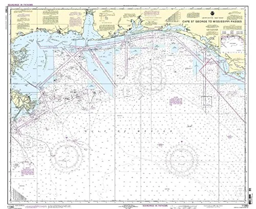
Cape St. George to Mississippi Passes Nautical Chart 11360 – NOAA Approved, On-Demand Printing
Rated
0
out of 5
$
20.94
Buy product
Buy product
Charts & Maps
Captain Segull’s Inshore Choptank River Fishing Chart 12’x18′ – Nautical GPS Map for Small Boats
Rated
0
out of 5
$
18.95
Buy product
Buy product
Charts & Maps
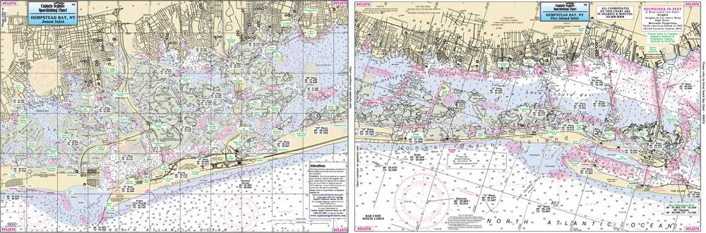
Captain Segull’s Inshore Fishing Chart 12’x18′ for Fire Island to Jones Inlet, NY
Rated
0
out of 5
$
12.95
Buy product
Buy product
Charts & Maps
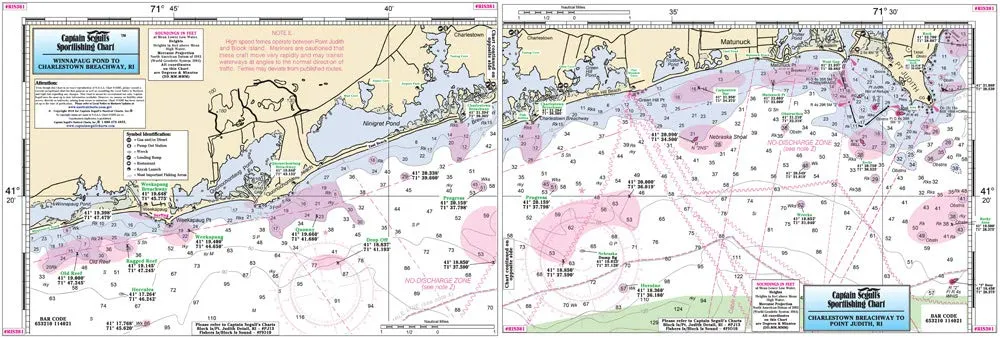
Captain Segull’s Inshore Southern Coast of RI Fishing Chart 12’x18′ Double-Sided Laminated
Rated
0
out of 5
$
17.95
Buy product
1
2
3
4
5
→
Scroll to Top