Skip to content
Trout Derby
About
Cart
Checkout
Collections
Contact
Home
My Account
Payment Methods
Privacy Policy
Return Policy
Shipping Policy
Shop
Terms of Use
Track your order
Trout Derby
Main Menu
About
Cart
Checkout
Collections
Contact
Home
My Account
Payment Methods
Privacy Policy
Return Policy
Shipping Policy
Shop
Terms of Use
Track your order
Home
/
Shop
/
Products tagged “nautical chart”
/ Page 2
nautical chart
Showing 13–24 of 56 results
Default sorting
Sort by popularity
Sort by average rating
Sort by latest
Sort by price: low to high
Sort by price: high to low
Buy product
Charts & Maps
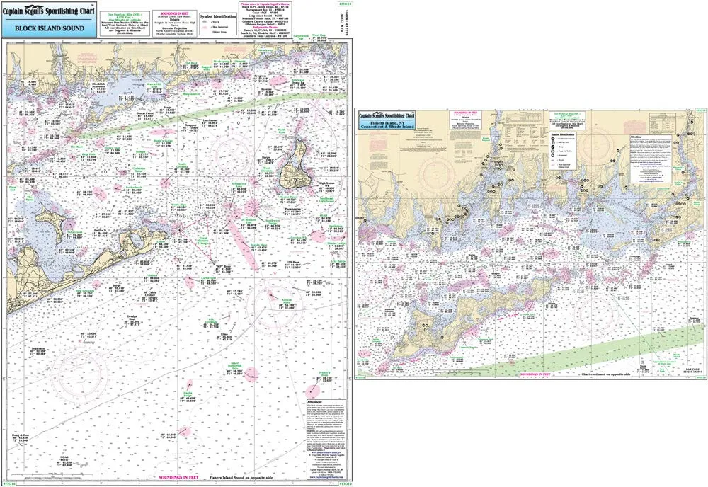
Captain Segull’s Nautical Chart for Fishers Island & Block Island Sound, Laminated 19.5’x26.5′
Rated
0
out of 5
$
19.95
Buy product
Buy product
Charts & Maps
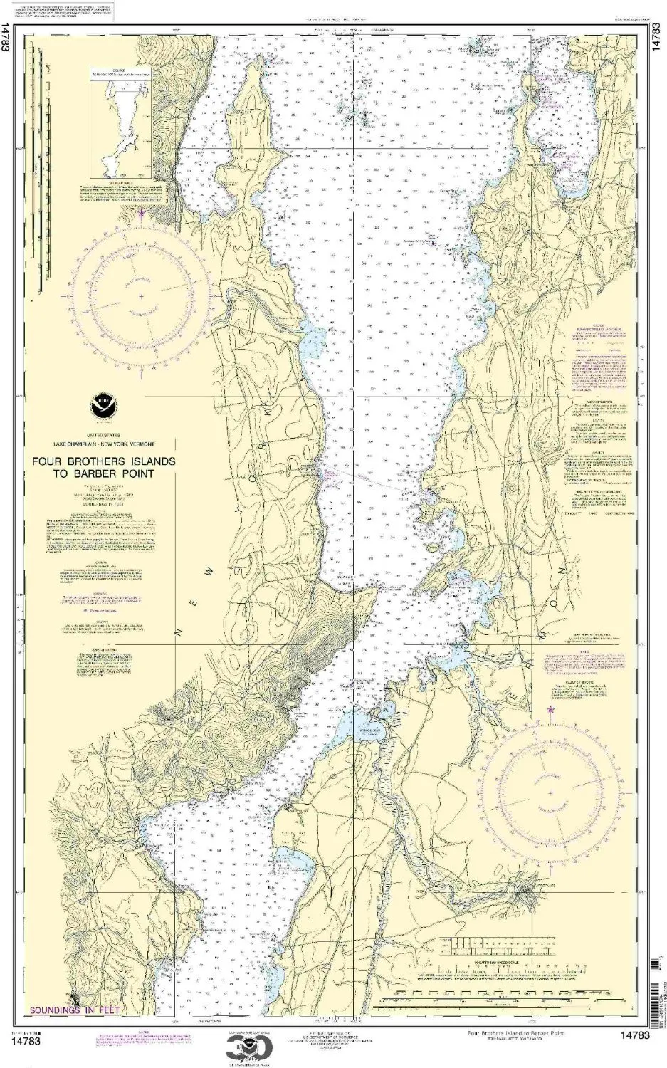
Chart 14783 Nautical Chart Four Brothers Islands to Barber Point – NOAA Approved, On-Demand Print
Rated
0
out of 5
$
20.94
Buy product
Buy product
Charts & Maps
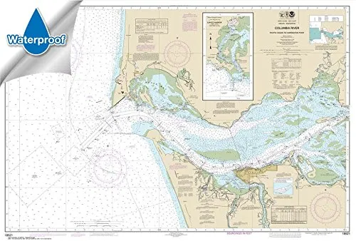
Columbia River to Harrington Point Chart 32.8×48.4 Waterproof – NOAA Certified Nautical Chart
Rated
0
out of 5
$
31.95
Buy product
Buy product
Charts & Maps
East of Cape Lisburne Nautical Chart 16121 – NOAA Approved, Printed On Demand, All Updates Included
Rated
0
out of 5
$
34.95
Buy product
Buy product
Charts & Maps
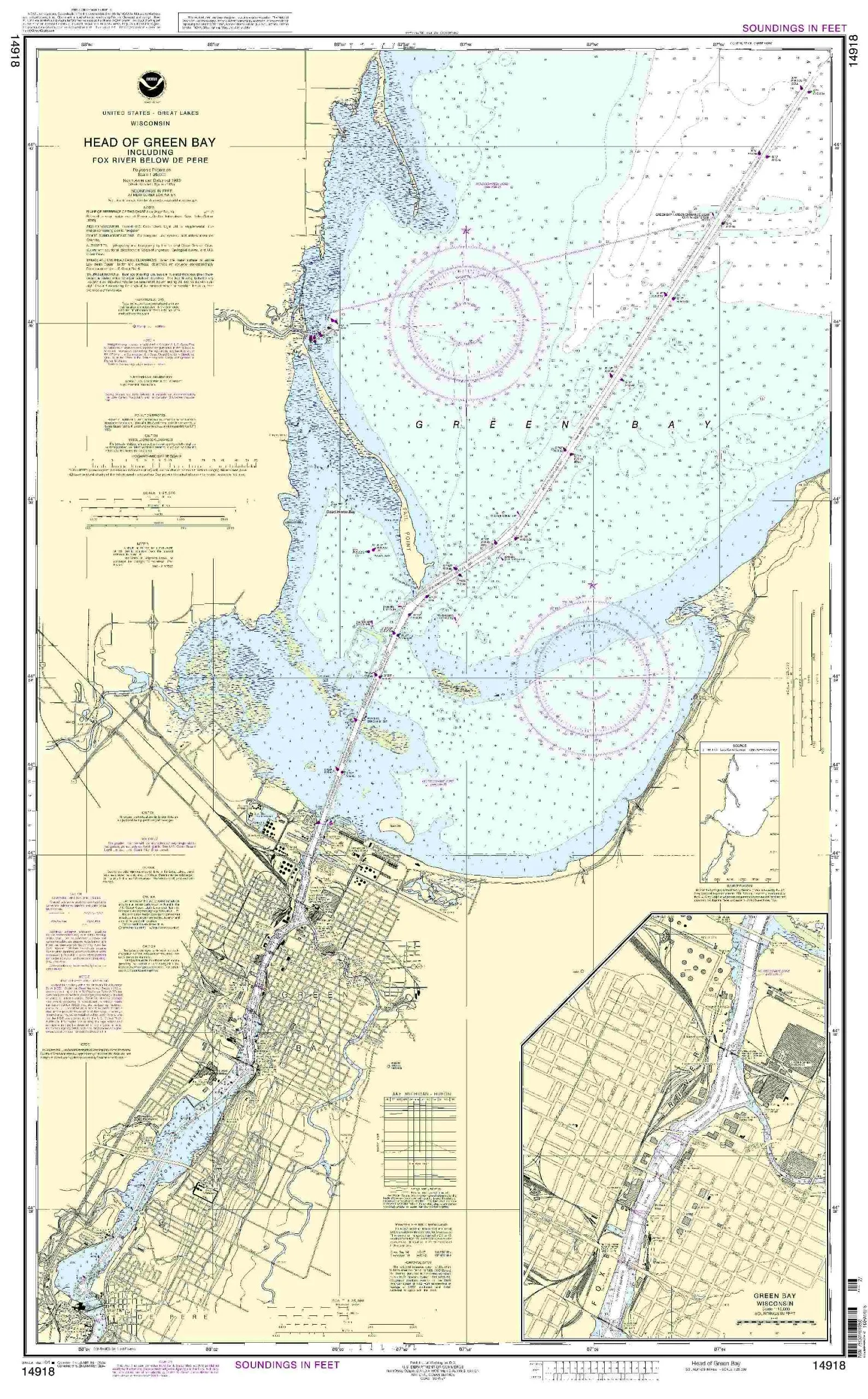
Head of Green Bay Nautical Chart – NOAA Approved, On-Demand, Accurate Marine Navigation Tool
Rated
0
out of 5
$
20.94
Buy product
Buy product
Charts & Maps
Hurricane Tracking Chart – Full Atlantic by Oceangrafix, 35′ x 26′, NOAA-Approved Nautical Chart
Rated
0
out of 5
$
33.50
Buy product
Buy product
Charts & Maps
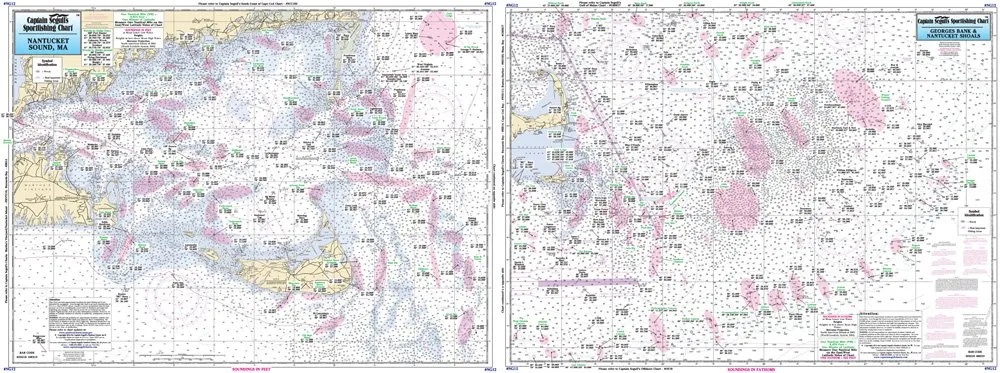
Laminated Nautical Fishing Chart NG12 – Offshore Nantucket/Georges Bank by Captain Segull’s
Rated
0
out of 5
$
16.90
Buy product
Buy product
Charts & Maps
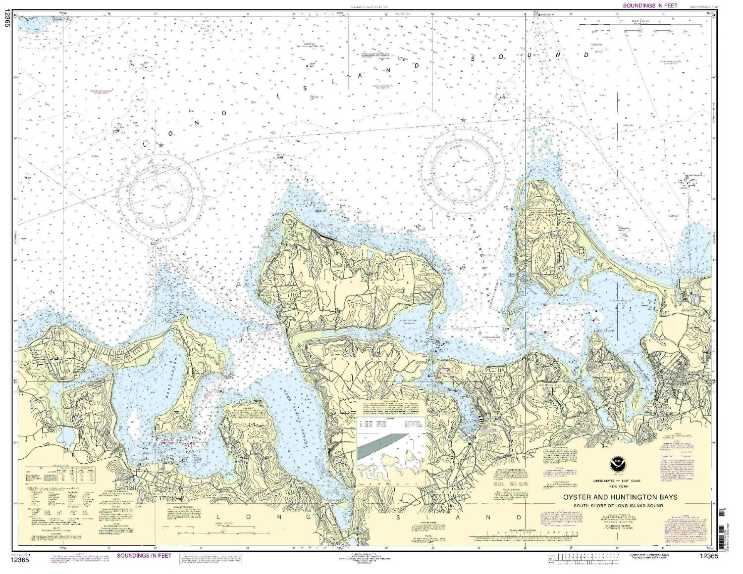
Long Island Sound Nautical Chart 12365 – Oyster & Huntington Bays, NOAA Approved, 34.11′ x 43.91′
Rated
0
out of 5
$
20.94
Buy product
Buy product
Charts & Maps
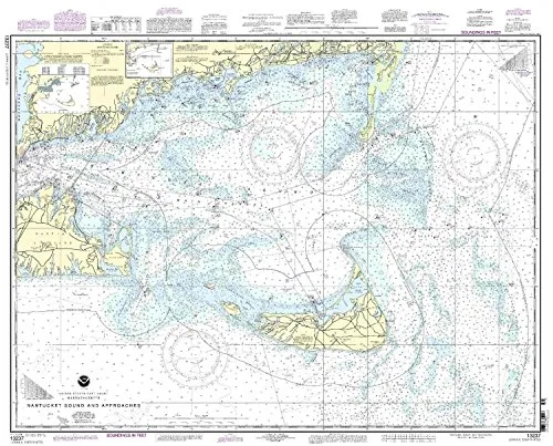
Nantucket Sound and Approaches Nautical Chart 13237 – NOAA Approved, Updated, On-Demand Print
Rated
0
out of 5
$
19.95
Buy product
Buy product
Charts & Maps
Nautical Chart 14825 – Ashtabula to Chagrin River – 1:80000 Scale – 28.56′ x 38.33′ – NOAA Approved
Rated
0
out of 5
$
20.94
Buy product
Buy product
Charts & Maps
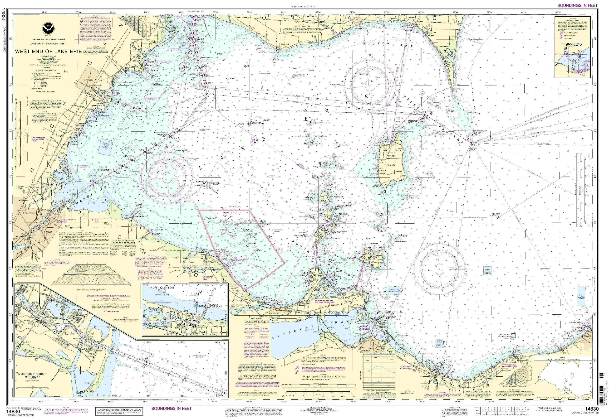
Nautical Chart 14830 – West End of Lake Erie to Detroit River, NOAA-Approved, 25.17′ H x 31.82′ W
Rated
0
out of 5
$
21.45
Buy product
Buy product
Charts & Maps
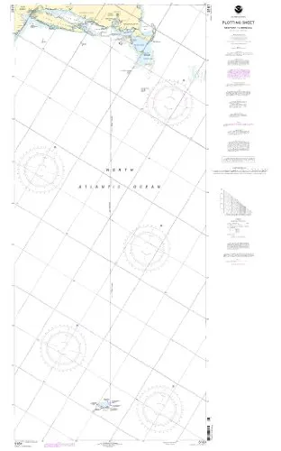
Newport, Rhode Island to Bermuda Nautical Chart – NOAA Approved OceanGrafix, On-Demand Printing
Rated
0
out of 5
$
20.94
Buy product
←
1
2
3
4
5
→
Scroll to Top