Skip to content
Trout Derby
About
Cart
Checkout
Collections
Contact
Home
My Account
Payment Methods
Privacy Policy
Return Policy
Shipping Policy
Shop
Terms of Use
Track your order
Trout Derby
Main Menu
About
Cart
Checkout
Collections
Contact
Home
My Account
Payment Methods
Privacy Policy
Return Policy
Shipping Policy
Shop
Terms of Use
Track your order
Home
/
Shop
/
Products tagged “nautical chart”
/ Page 4
nautical chart
Showing 37–48 of 56 results
Default sorting
Sort by popularity
Sort by average rating
Sort by latest
Sort by price: low to high
Sort by price: high to low
Buy product
Charts & Maps
NOAA Chart 14784: Barber Point to Whitehall – Up-to-Date Nautical Chart for Mariners
Rated
0
out of 5
$
20.94
Buy product
Buy product
Subjects
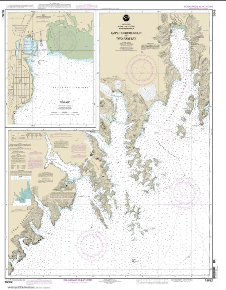
NOAA Chart 16682 – Cape Resurrection to Two Arm Bay – Water-Resistant PaperTyger – East View Geospatial
Rated
0
out of 5
$
24.99
Buy product
Buy product
Charts & Maps
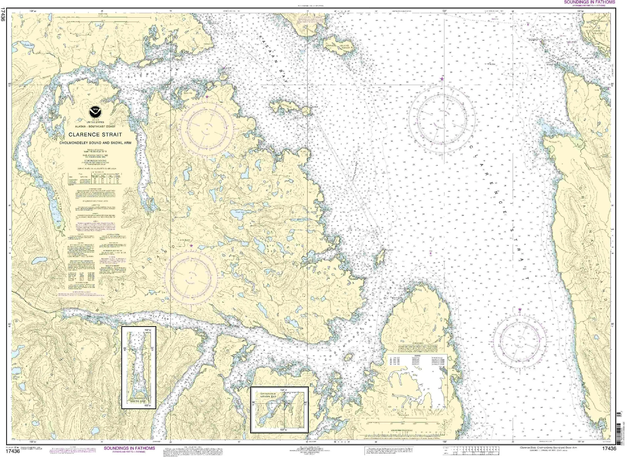
NOAA Chart 17436: Clarence Strait, Cholmondeley Sound, Skowl Arm – Updated Nautical Chart
Rated
0
out of 5
$
32.95
Buy product
Buy product
Charts & Maps
NOAA Chart 18649: Entrance to San Francisco Bay – 35.3 x 45, Water-Resistant, Display Quality
Rated
0
out of 5
$
28.95
Buy product
Buy product
Charts & Maps
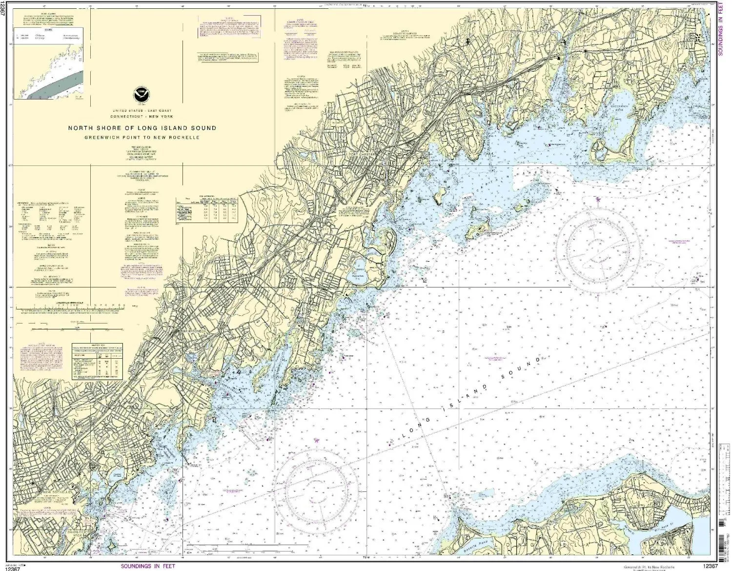
NOAA Greenwich Pt. Nautical Chart – 1:20000 Scale, 35.29” H x 44.12” W for Eastern U.S./Canada
Rated
0
out of 5
$
20.94
Buy product
Buy product
Charts & Maps
NOAA Nautical Chart 19480: Gambia Shoal to Kure Atoll – Accurate, Up-to-Date, Approved for Vessels
Rated
0
out of 5
$
34.95
Buy product
Buy product
Charts & Maps
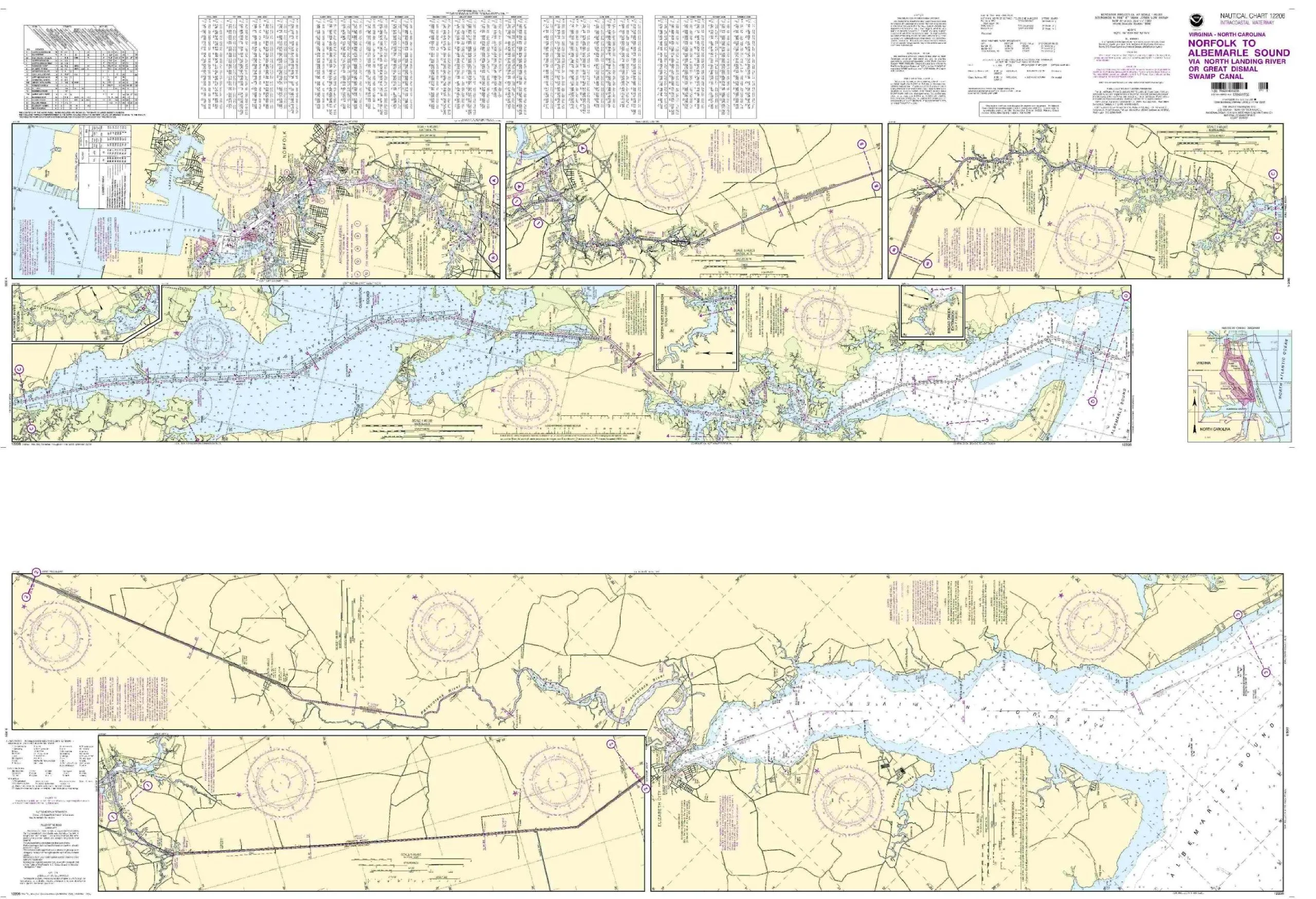
Norfolk to Albemarle Sound Nautical Chart – NOAA Approved, 1:40000 Scale, 7.98” H x 22.98” W
Rated
0
out of 5
$
20.94
Buy product
Buy product
Charts & Maps
Oneida Lake Nautical Chart – Lock 22 to Lock 23, NOAA Approved, 1:40000 Scale, 24.89” x 47.23”
Rated
0
out of 5
$
20.94
Buy product
Buy product
Charts & Maps
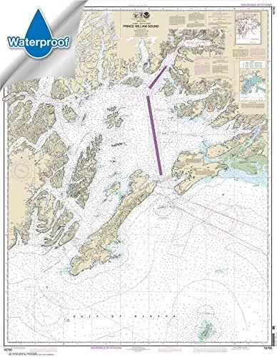
Prince William Sound Waterproof Nautical Chart 35.6 x 45.8 – NOAA Certified, Tear-Resistant Quality
Rated
0
out of 5
$
31.95
Buy product
Buy product
Charts & Maps
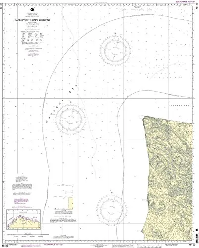
Print-On-Demand Nautical Chart Cape Dyer to Cape Lisburge 5th Ed 1:50000 NOAA Approved
Rated
0
out of 5
$
34.95
Buy product
Buy product
Charts & Maps
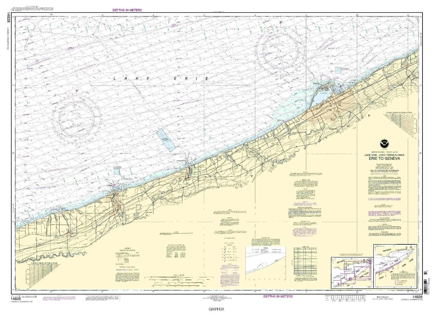
Print-On-Demand Nautical Chart Erie to Geneva 6th Ed. 14828 by NOAA, 32.59′ H x 45.98′ W
Rated
0
out of 5
$
20.94
Buy product
Buy product
Charts & Maps
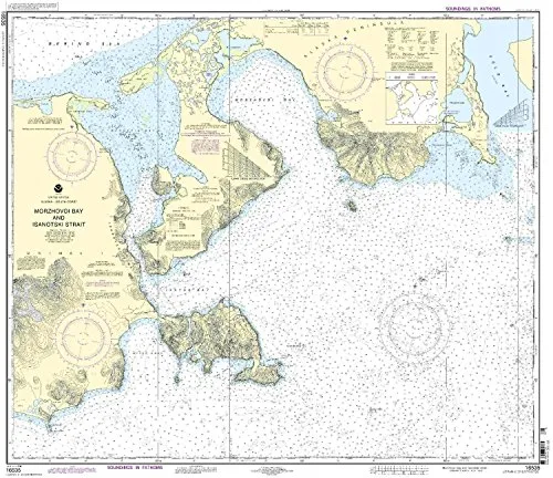
Print-On-Demand Nautical Chart Morzhovoi Bay & Isanotski Strait 12th Edition – NOAA Approved
Rated
0
out of 5
$
34.95
Buy product
←
1
2
3
4
5
→
Scroll to Top