Skip to content
Trout Derby
About
Cart
Checkout
Collections
Contact
Home
My Account
Payment Methods
Privacy Policy
Return Policy
Shipping Policy
Shop
Terms of Use
Track your order
Trout Derby
Main Menu
About
Cart
Checkout
Collections
Contact
Home
My Account
Payment Methods
Privacy Policy
Return Policy
Shipping Policy
Shop
Terms of Use
Track your order
Home
/
Shop
/
Products tagged “NOAA chart”
/ Page 4
NOAA chart
Showing 37–42 of 42 results
Default sorting
Sort by popularity
Sort by average rating
Sort by latest
Sort by price: low to high
Sort by price: high to low
Buy product
Charts & Maps
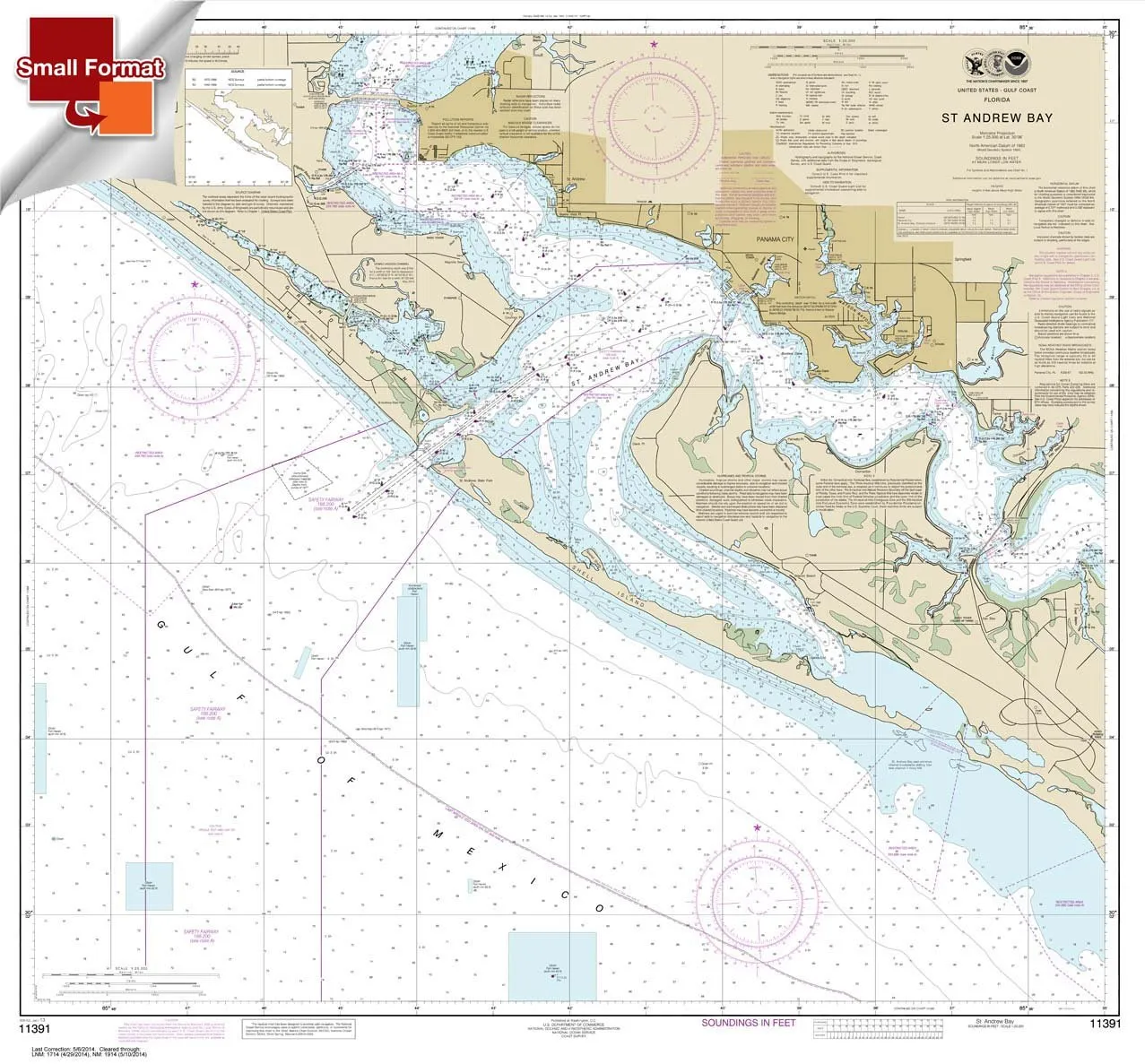
Paradise Cay NOAA Chart 11391: St. Andrew Bay 21’x22.61′ Waterproof, Small Format, Display Quality
Rated
0
out of 5
$
18.95
Buy product
Buy product
Charts & Maps
Paradise Cay NOAA Chart 12280 Chesapeake Bay Booklet 8.5 x 11 for Recreational Boaters
Rated
0
out of 5
$
12.95
Buy product
Buy product
Charts & Maps
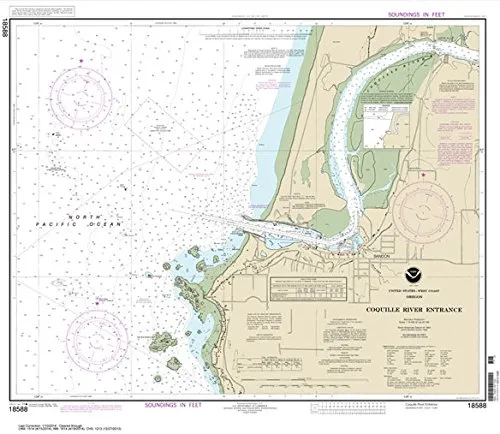
Paradise Cay NOAA Chart 18588 Coquille River Entrance 25.1’x28.9′ Water-Resistant Quality
Rated
0
out of 5
$
28.95
Buy product
Buy product
Charts & Maps
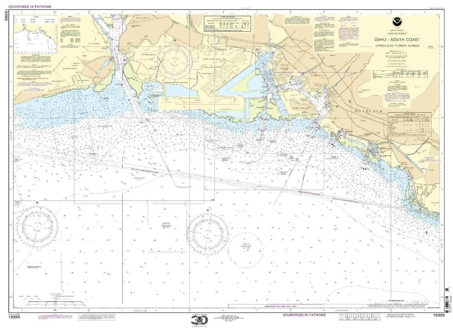
Paradise Cay NOAA Chart 19369 O’ahu South Coast Approaches to Pearl Harbor – Water-Resistant
Rated
0
out of 5
$
27.95
Buy product
Buy product
Charts & Maps
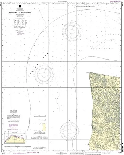
Print-On-Demand Nautical Chart Cape Dyer to Cape Lisburge 5th Ed 1:50000 NOAA Approved
Rated
0
out of 5
$
34.95
Buy product
Buy product
Charts & Maps
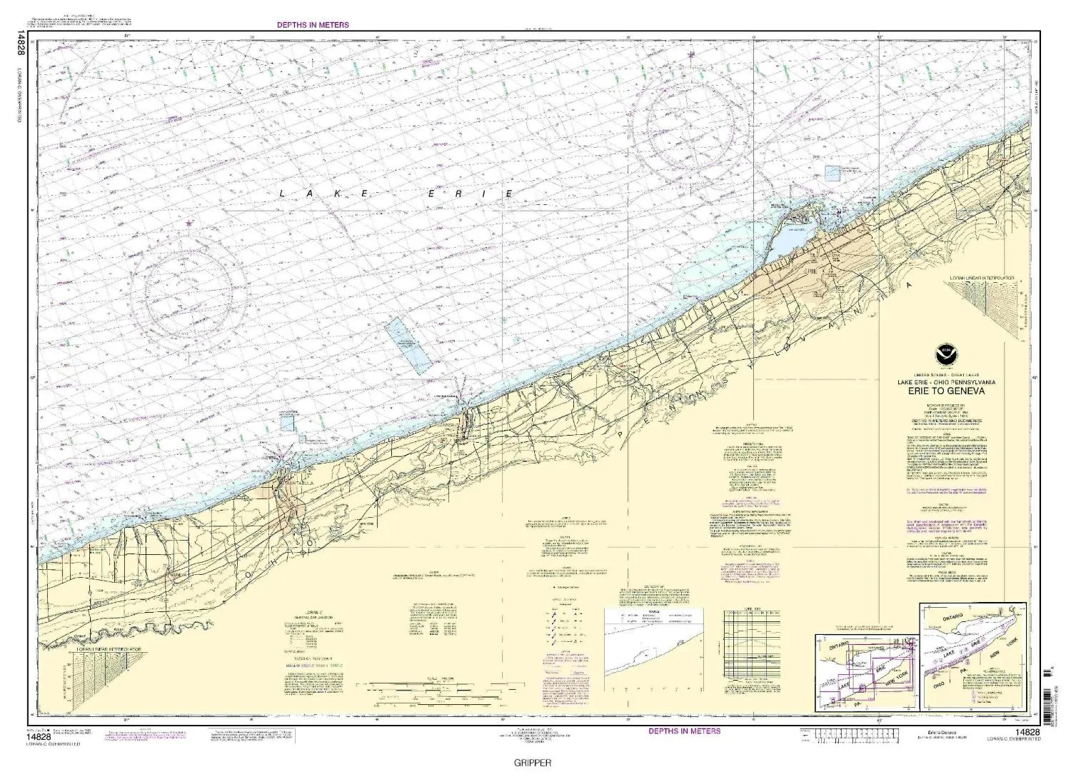
Print-On-Demand Nautical Chart Erie to Geneva 6th Ed. 14828 by NOAA, 32.59′ H x 45.98′ W
Rated
0
out of 5
$
20.94
Buy product
←
1
2
3
4
Scroll to Top