Skip to content
Trout Derby
About
Cart
Checkout
Collections
Contact
Home
My Account
Payment Methods
Privacy Policy
Return Policy
Shipping Policy
Shop
Terms of Use
Track your order
Trout Derby
Main Menu
About
Cart
Checkout
Collections
Contact
Home
My Account
Payment Methods
Privacy Policy
Return Policy
Shipping Policy
Shop
Terms of Use
Track your order
Home
/
Shop
/ Products tagged “NOAA nautical chart”
NOAA nautical chart
Showing 1–12 of 121 results
Default sorting
Sort by popularity
Sort by average rating
Sort by latest
Sort by price: low to high
Sort by price: high to low
Buy product
Charts & Maps
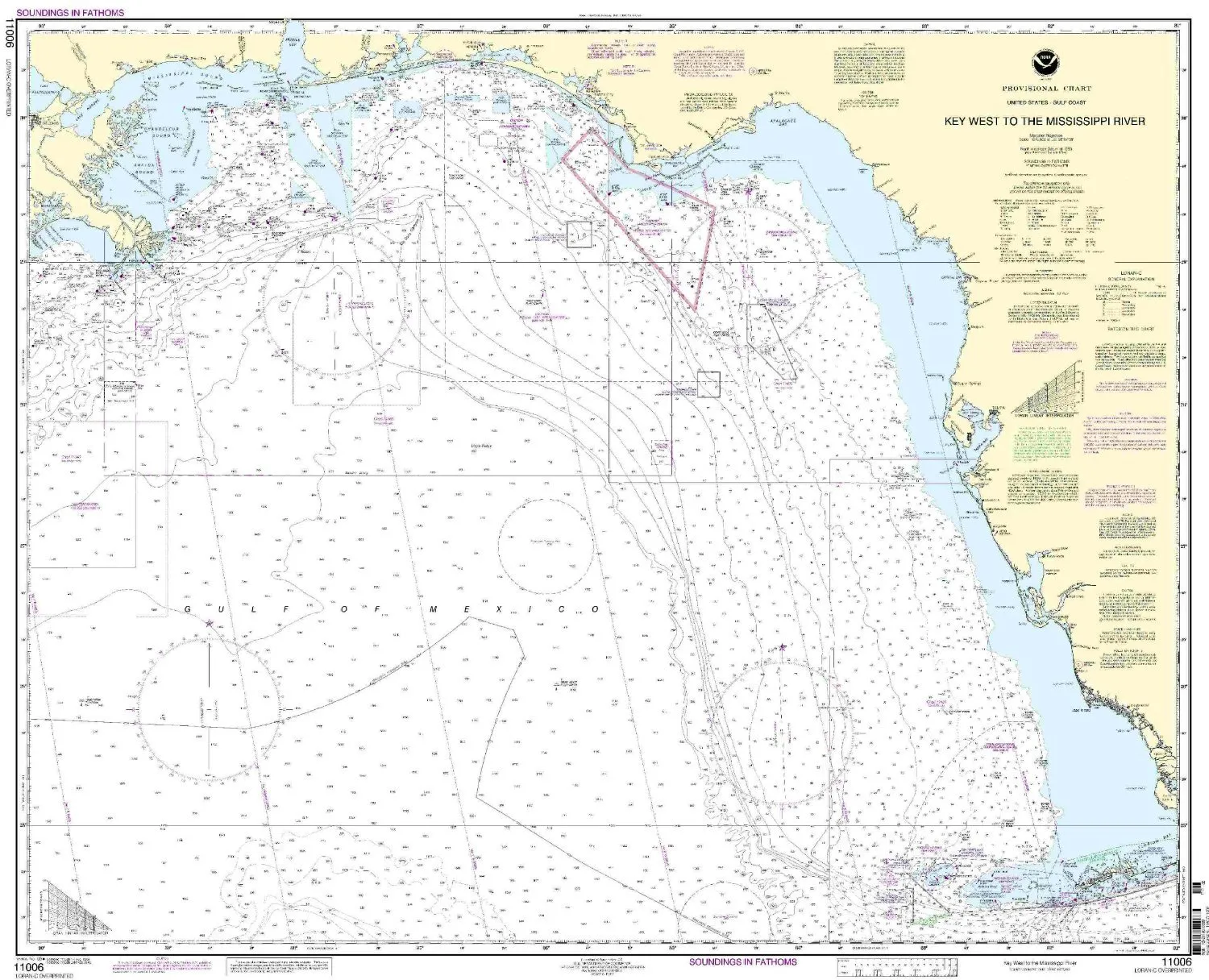
11006-Gulf Coast Nautical Chart – Key West to Mississippi River, NOAA Approved for Mariners
Rated
0
out of 5
$
29.95
Buy product
Buy product
Charts & Maps
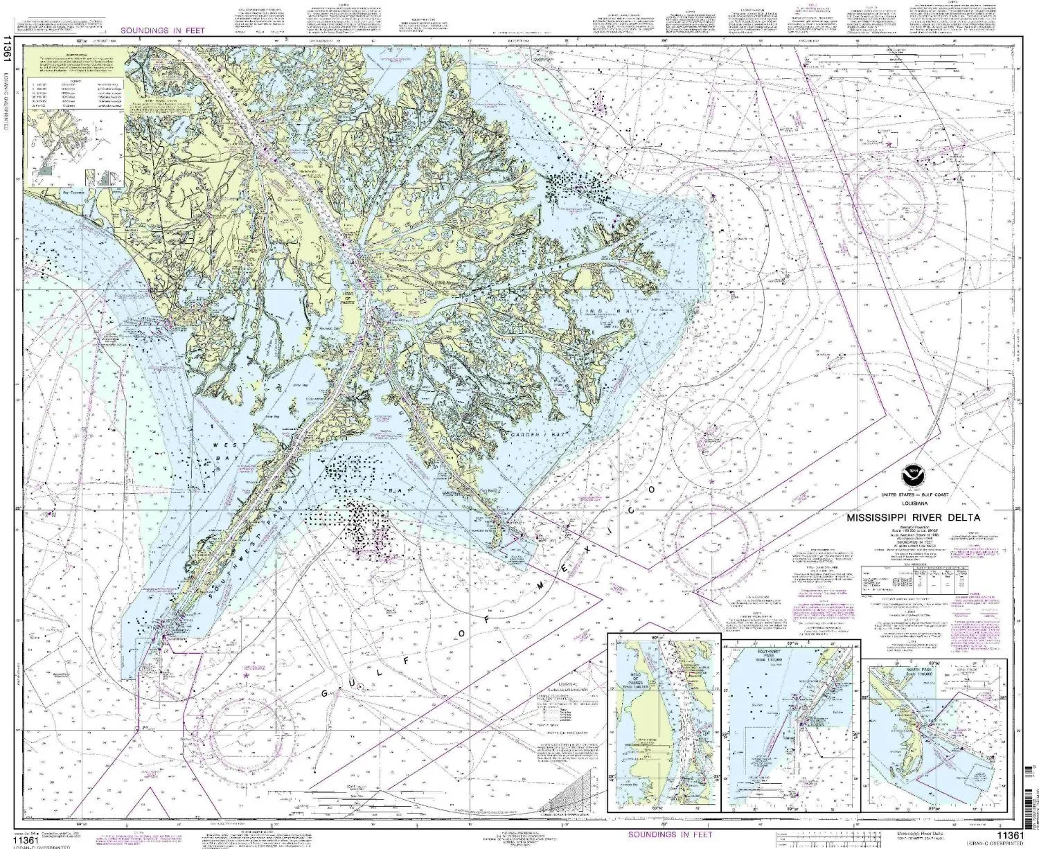
11361 Mississippi River Delta Nautical Chart – NOAA Approved, Latest Updates, Printed on Demand
Rated
0
out of 5
$
20.94
Buy product
Buy product
Charts & Maps
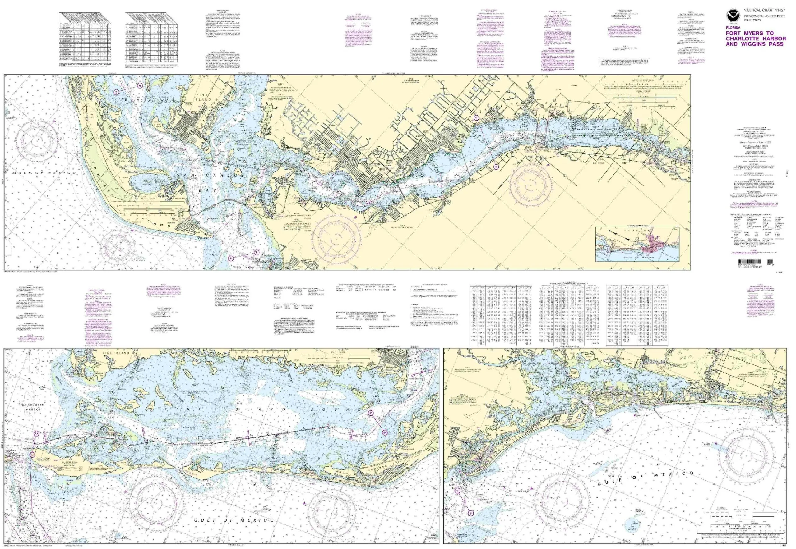
11427-Intracoastal Waterway Chart – Fort Myers to Charlotte Harbor, NOAA Approved, Printed on Demand
Rated
0
out of 5
$
20.94
Buy product
Buy product
Charts & Maps
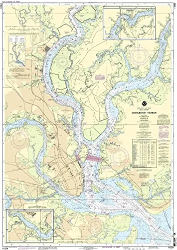
11524 Charlseston Harbor NOAA Nautical Chart – 1:20000 Scale, 36.93” H x 26.6” W, U.S. Coast Guard Approved
Rated
0
out of 5
$
20.94
Buy product
Buy product
Charts & Maps
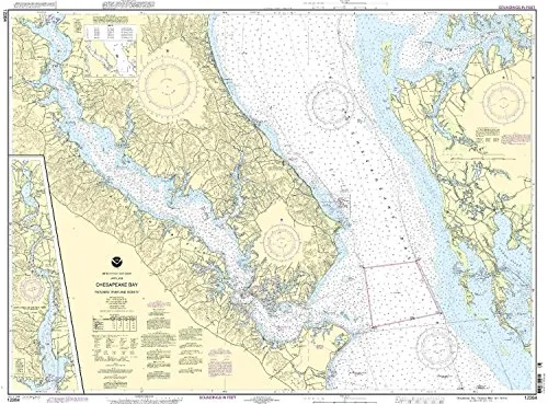
12264 Chesapeake Bay Nautical Chart – Patuxent River, NOAA Approved, On-Demand Printing
Rated
0
out of 5
$
20.94
Buy product
Buy product
Charts & Maps
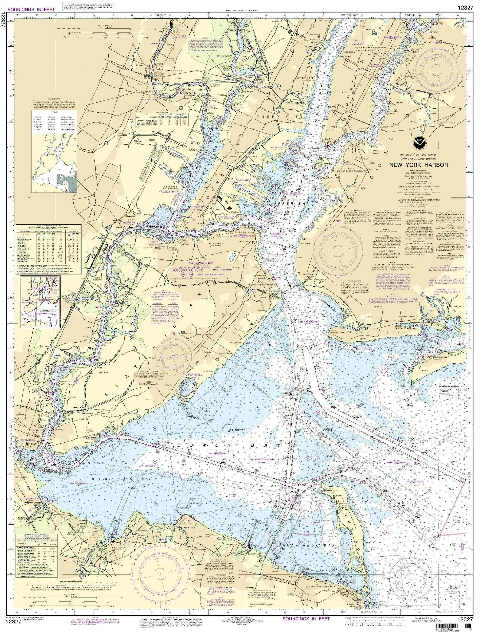
12327 New York Harbor NOAA Nautical Chart – 46.2” H x 35.24” W – U.S. Coast Guard Approved
Rated
0
out of 5
$
20.94
Buy product
Buy product
Charts & Maps
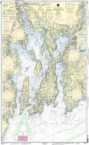
13221 Naragansett Bay NOAA Nautical Chart 1:40000 Scale 53.63” H x 33.33” W for Mariners
Rated
0
out of 5
$
20.94
Buy product
Buy product
Charts & Maps
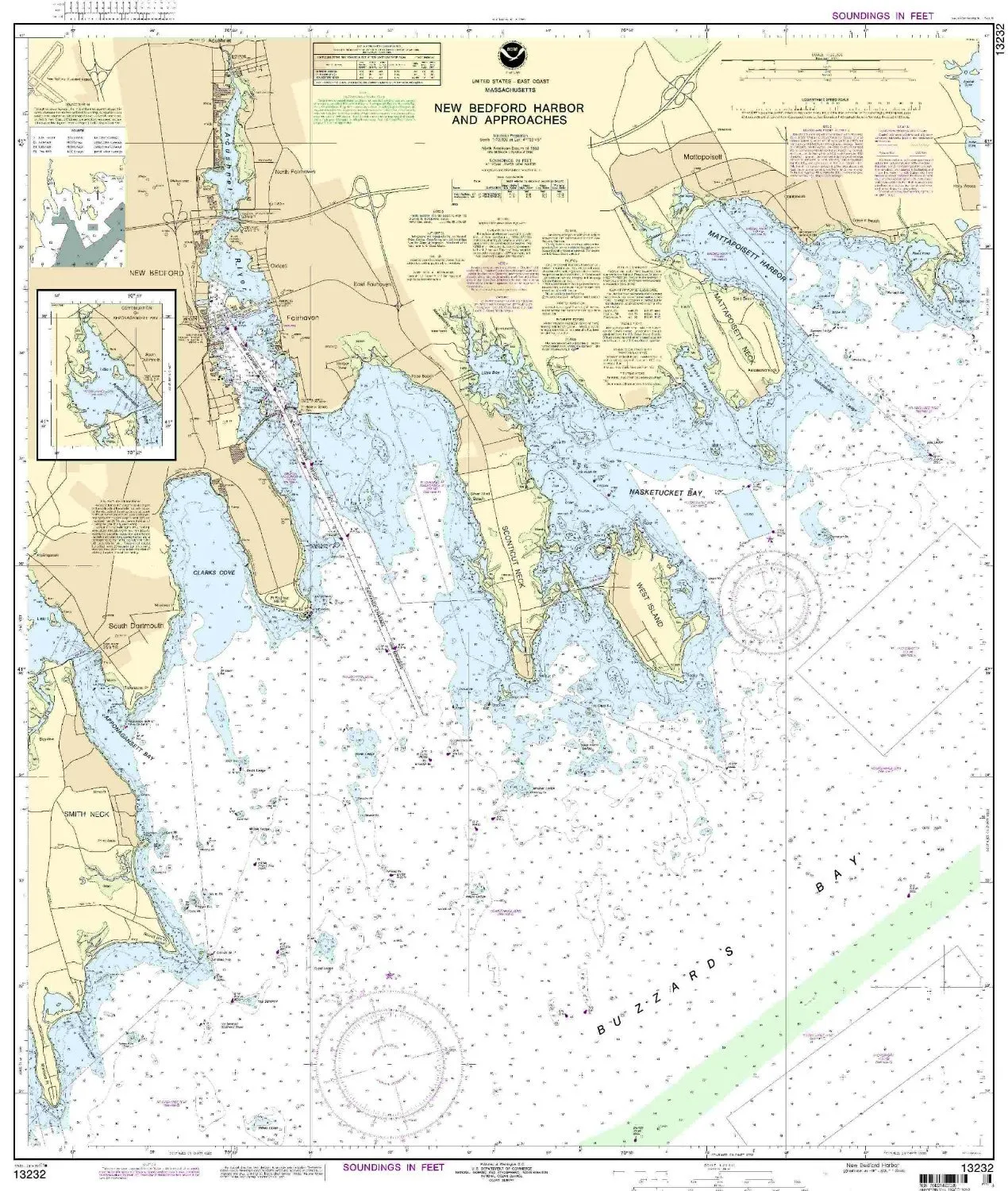
13232 New Bedford Harbor Nautical Chart – NOAA Approved, On-Demand, Latest NTM Updates
Rated
0
out of 5
$
20.94
Buy product
Buy product
Charts & Maps
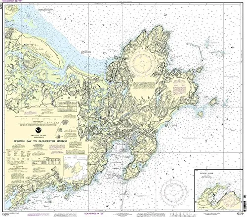
13279 Ipswich Bay to Gloucester Harbor NOAA Nautical Chart 1:20000, 36.03′ H x 39.96′ W
Rated
0
out of 5
$
20.94
Buy product
Buy product
Charts & Maps
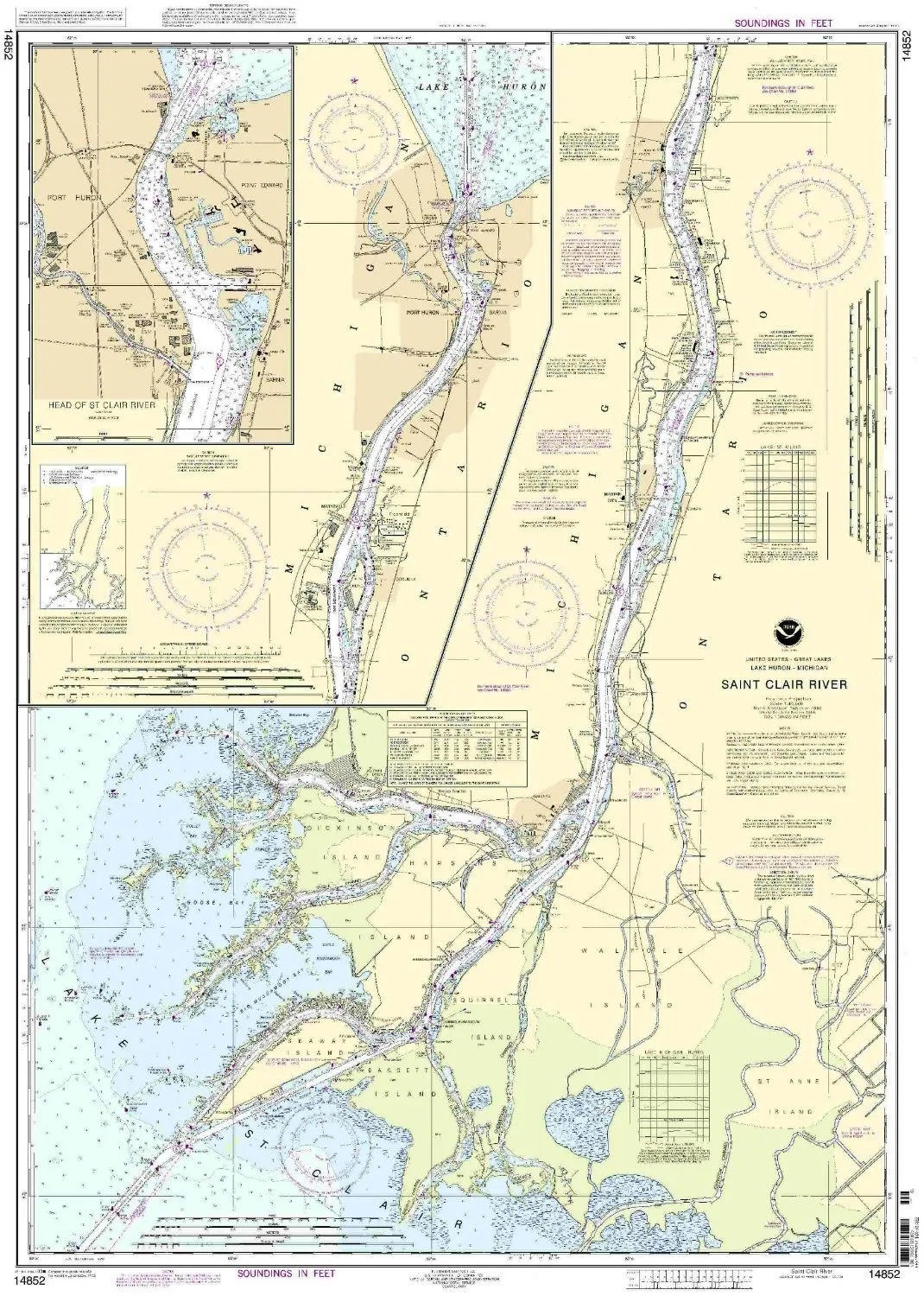
14852 St. Clair River NOAA Nautical Chart 1:40000 Scale for Eastern U.S./Canada Region
Rated
0
out of 5
$
20.94
Buy product
Buy product
Charts & Maps
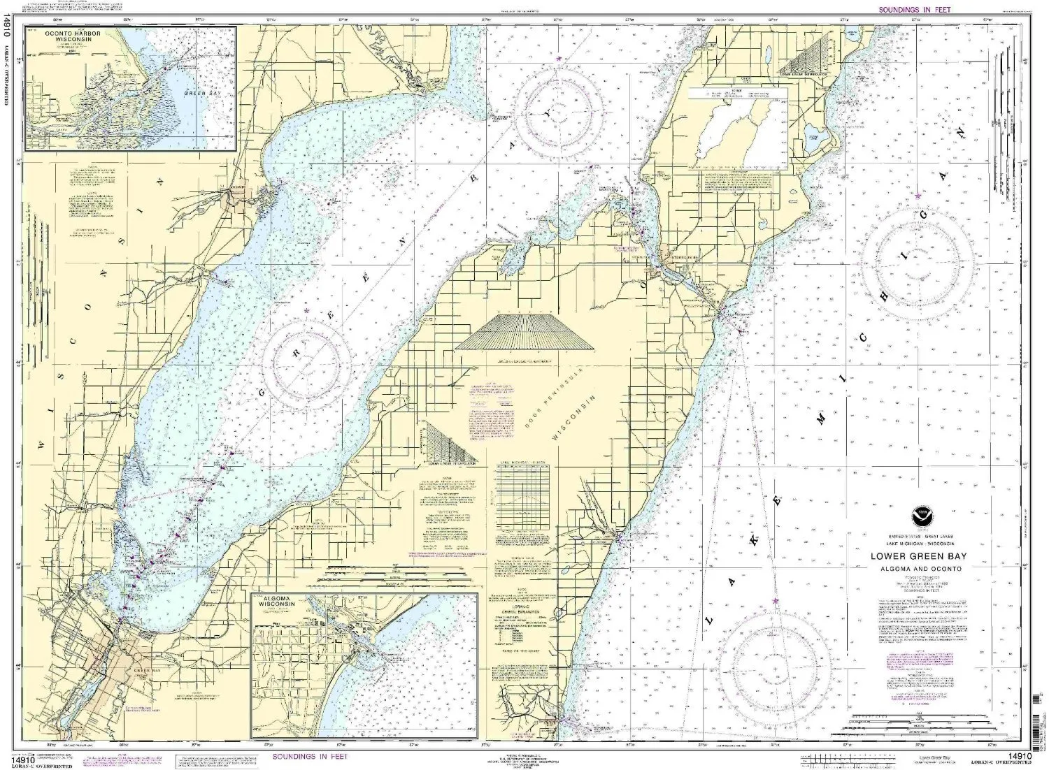
14910 Lower Green Bay NOAA Nautical Chart – 1:80000 Scale, 34.36′ H x 46.87′ W, U.S. Coast Guard Approved
Rated
0
out of 5
$
20.94
Buy product
Buy product
Charts & Maps
14931-Grand River Nautical Chart by NOAA – OceanGrafix, Printed On-Demand, U.S. Coast Guard Approved
Rated
0
out of 5
$
20.94
Buy product
1
2
3
4
…
9
10
11
→
Scroll to Top