Skip to content
Trout Derby
About
Cart
Checkout
Collections
Contact
Home
My Account
Payment Methods
Privacy Policy
Return Policy
Shipping Policy
Shop
Terms of Use
Track your order
Trout Derby
Main Menu
About
Cart
Checkout
Collections
Contact
Home
My Account
Payment Methods
Privacy Policy
Return Policy
Shipping Policy
Shop
Terms of Use
Track your order
Home
/
Shop
/
Products tagged “NOAA nautical chart”
/ Page 2
NOAA nautical chart
Showing 13–24 of 121 results
Default sorting
Sort by popularity
Sort by average rating
Sort by latest
Sort by price: low to high
Sort by price: high to low
Buy product
Charts & Maps
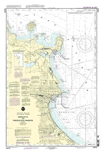
14970-Marquette and Presque Isle Harbors NOAA Nautical Chart 1:15000 Scale, 35.83” H x 23.89” W
Rated
0
out of 5
$
28.00
Buy product
Buy product
Charts & Maps
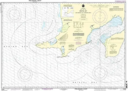
16305 Bristol Bay Nautical Chart – NOAA Approved, On-Demand Printing, NTM Updates Included
Rated
0
out of 5
$
29.95
Buy product
Buy product
Charts & Maps
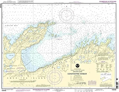
16446-Rat Island Nautical Chart – NOAA Approved, 28.86′ x 22.93′, Detailed Coverage of Constantine Harbor
Rated
0
out of 5
$
34.95
Buy product
Buy product
Charts & Maps
16594-Kodiak Island Nautical Chart – NOAA Approved, 1:78900 Scale, 35.37” H x 45.89” W
Rated
0
out of 5
$
34.95
Buy product
Buy product
Charts & Maps
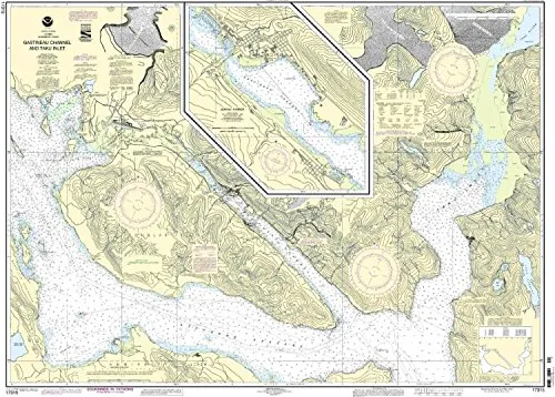
17315-Gastineau Channel Nautical Chart – NOAA Approved, 35.88” H x 48.45” W, Scale 1:40000
Rated
0
out of 5
$
27.95
Buy product
Buy product
Charts & Maps
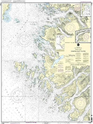
17326 Crawfish Inlet to Sitka Nautical Chart – NOAA Approved, 1:40000 Scale, 46.54′ H x 33.7′ W
Rated
0
out of 5
$
34.95
Buy product
Buy product
Charts & Maps
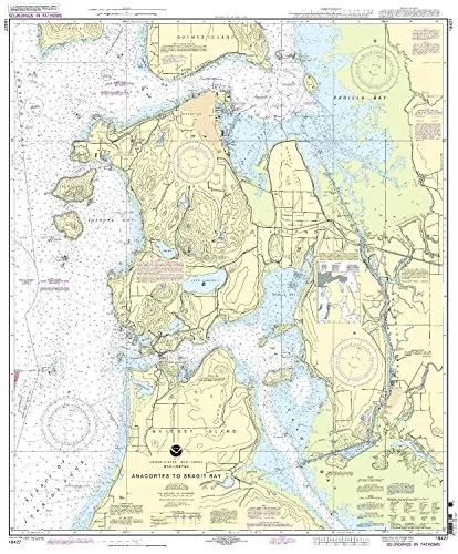
18427 Anacortes to Skagit Bay Nautical Chart, NOAA Approved, On-Demand Printing with Latest Updates
Rated
0
out of 5
$
27.95
Buy product
Buy product
Charts & Maps
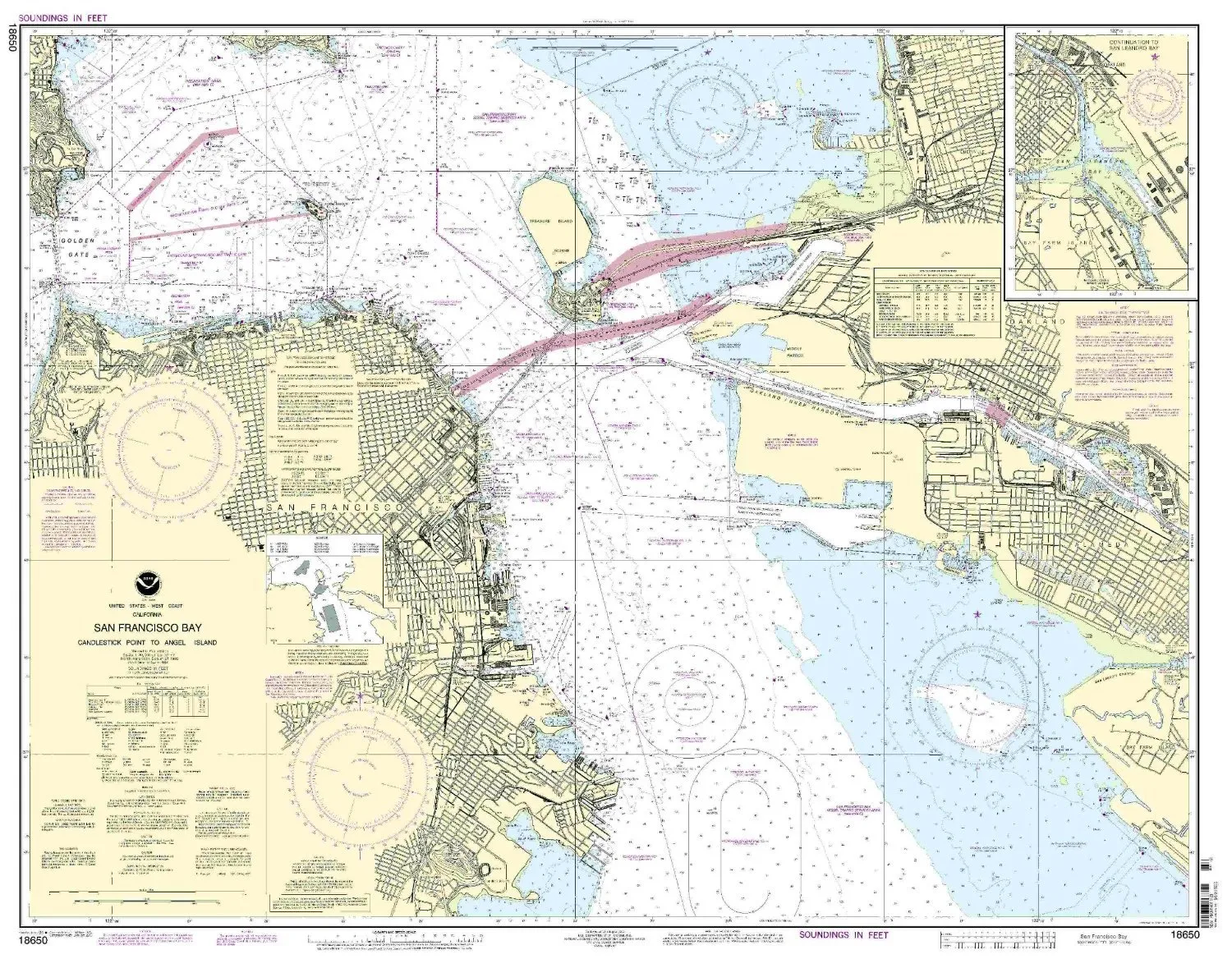
18650-San Francisco Bay Nautical Chart – Candlestick Point to Angel Island by NOAA
Rated
0
out of 5
$
27.95
Buy product
Buy product
Charts & Maps
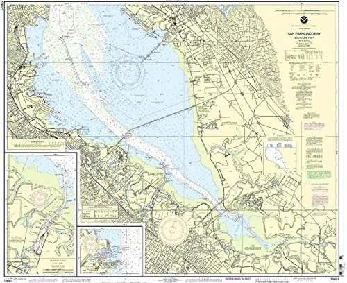
18651 San Francisco Bay Nautical Chart – Southern Part, Redwood Creek, NOAA Approved
Rated
0
out of 5
$
29.95
Buy product
Buy product
Charts & Maps
18664-Sacramento River Nautical Chart – Sacramento to Fourmile Bend, NOAA-Approved, U.S. Coast Guard Certified
Rated
0
out of 5
$
27.95
Buy product
Buy product
Charts & Maps
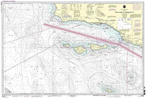
18720 Point Dume to Purisima Point NOAA Nautical Chart 32.64′ H x 48.31′ W, U.S. Coast Guard Approved
Rated
0
out of 5
$
32.95
Buy product
Buy product
Charts & Maps
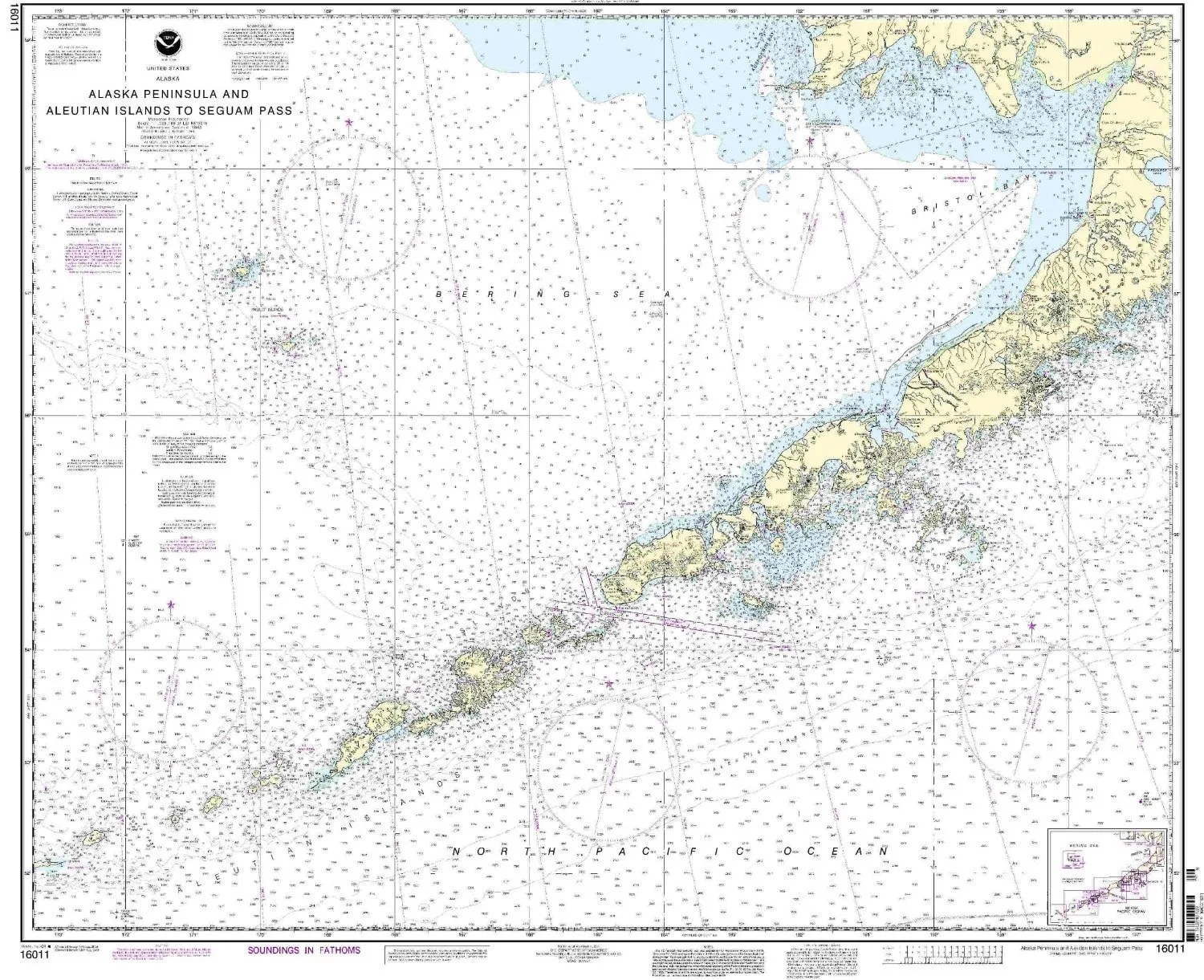
Alaska Peninsula & Aleutian Islands Nautical Chart – NOAA Approved, Printed on Demand
Rated
0
out of 5
$
34.95
Buy product
←
1
2
3
4
5
…
9
10
11
→
Scroll to Top