Skip to content
Trout Derby
About
Cart
Checkout
Collections
Contact
Home
My Account
Payment Methods
Privacy Policy
Return Policy
Shipping Policy
Shop
Terms of Use
Track your order
Trout Derby
Main Menu
About
Cart
Checkout
Collections
Contact
Home
My Account
Payment Methods
Privacy Policy
Return Policy
Shipping Policy
Shop
Terms of Use
Track your order
Home
/
Shop
/
Products tagged “NOAA nautical chart”
/ Page 3
NOAA nautical chart
Showing 25–36 of 121 results
Default sorting
Sort by popularity
Sort by average rating
Sort by latest
Sort by price: low to high
Sort by price: high to low
Buy product
Charts & Maps
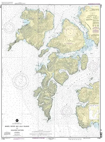
Baker, Noyes, and Lulu Island Nautical Chart – NOAA, 1:40000 Scale, 45.61” H x 34.03” W
Rated
0
out of 5
$
32.95
Buy product
Buy product
Charts & Maps
Boston Inner Harbor Nautical Chart 13272 – NOAA Approved, On-Demand Printing, All NTM Updates Included
Rated
0
out of 5
$
20.94
Buy product
Buy product
Charts & Maps
Calcasieu Pass to Sabine Pass Nautical Chart – NOAA Approved, On-Demand, U.S. Coast Guard Approved
Rated
0
out of 5
$
20.94
Buy product
Buy product
Charts & Maps
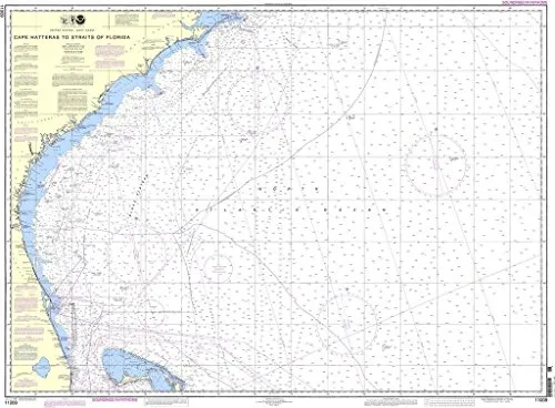
Cape Hatteras to Straits of Florida Nautical Chart – NOAA Approved, On-Demand, U.S. Coast Guard Approved
Rated
0
out of 5
$
36.95
Buy product
Buy product
Charts & Maps
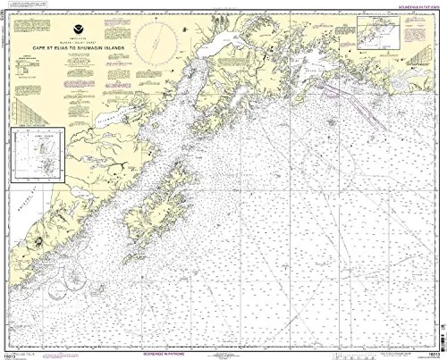
Cape St. Elias to Shumagin Islands Nautical Chart – NOAA Approved, Up-to-Date, On-Demand Printing
Rated
0
out of 5
$
34.95
Buy product
Buy product
Charts & Maps
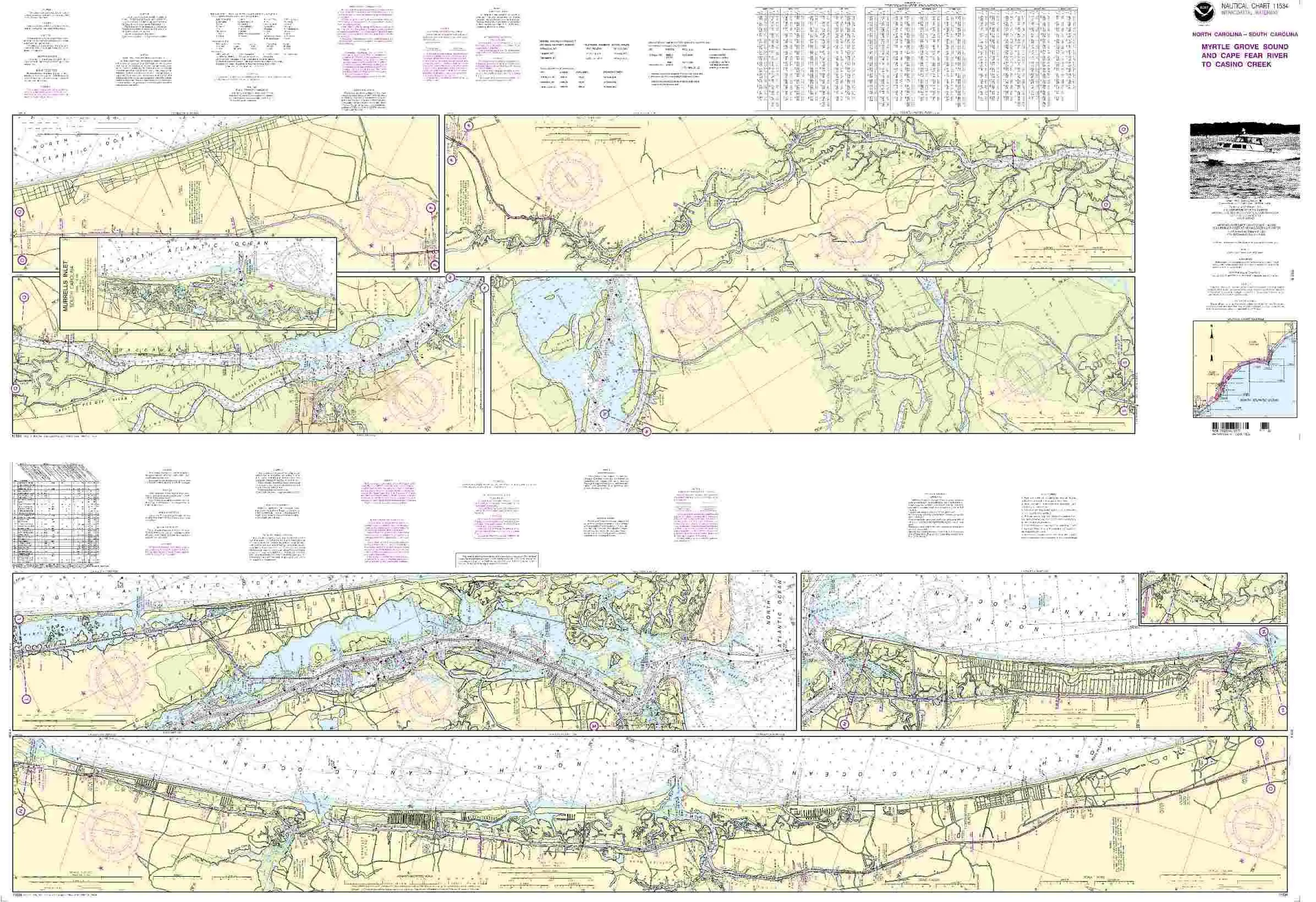
Chart 11534 Nautical Chart Myrtle Grove Sound & Cape Fear River – NOAA Approved, OceanGrafix
Rated
0
out of 5
$
20.94
Buy product
Buy product
Charts & Maps
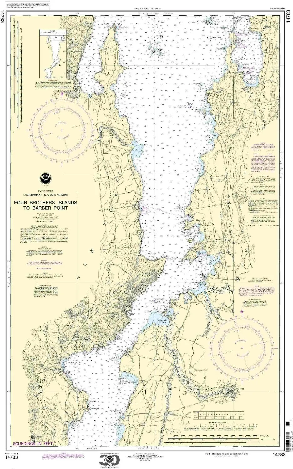
Chart 14783 Nautical Chart Four Brothers Islands to Barber Point – NOAA Approved, On-Demand Print
Rated
0
out of 5
$
20.94
Buy product
Buy product
Charts & Maps
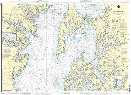
Chesapeake Bay Nautical Chart – NOAA Approved, 1:40000 Scale, 35.28” H x 48.74” W
Rated
0
out of 5
$
20.94
Buy product
Buy product
Charts & Maps
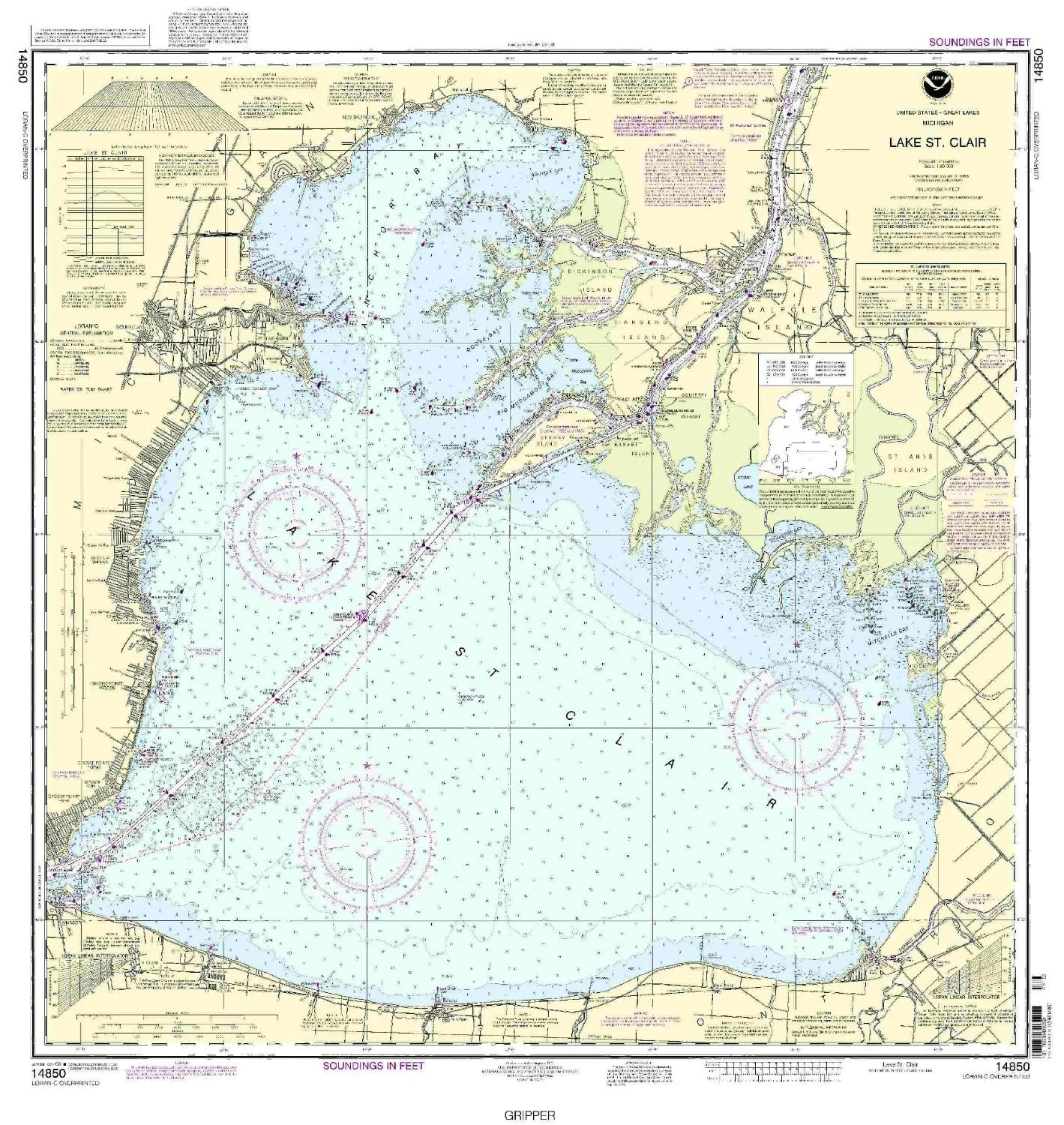
Detailed NOAA Nautical Chart of Lake St. Clair – 32.79’x34.84′ – Approved for Commercial Use
Rated
0
out of 5
$
20.94
Buy product
Buy product
Charts & Maps
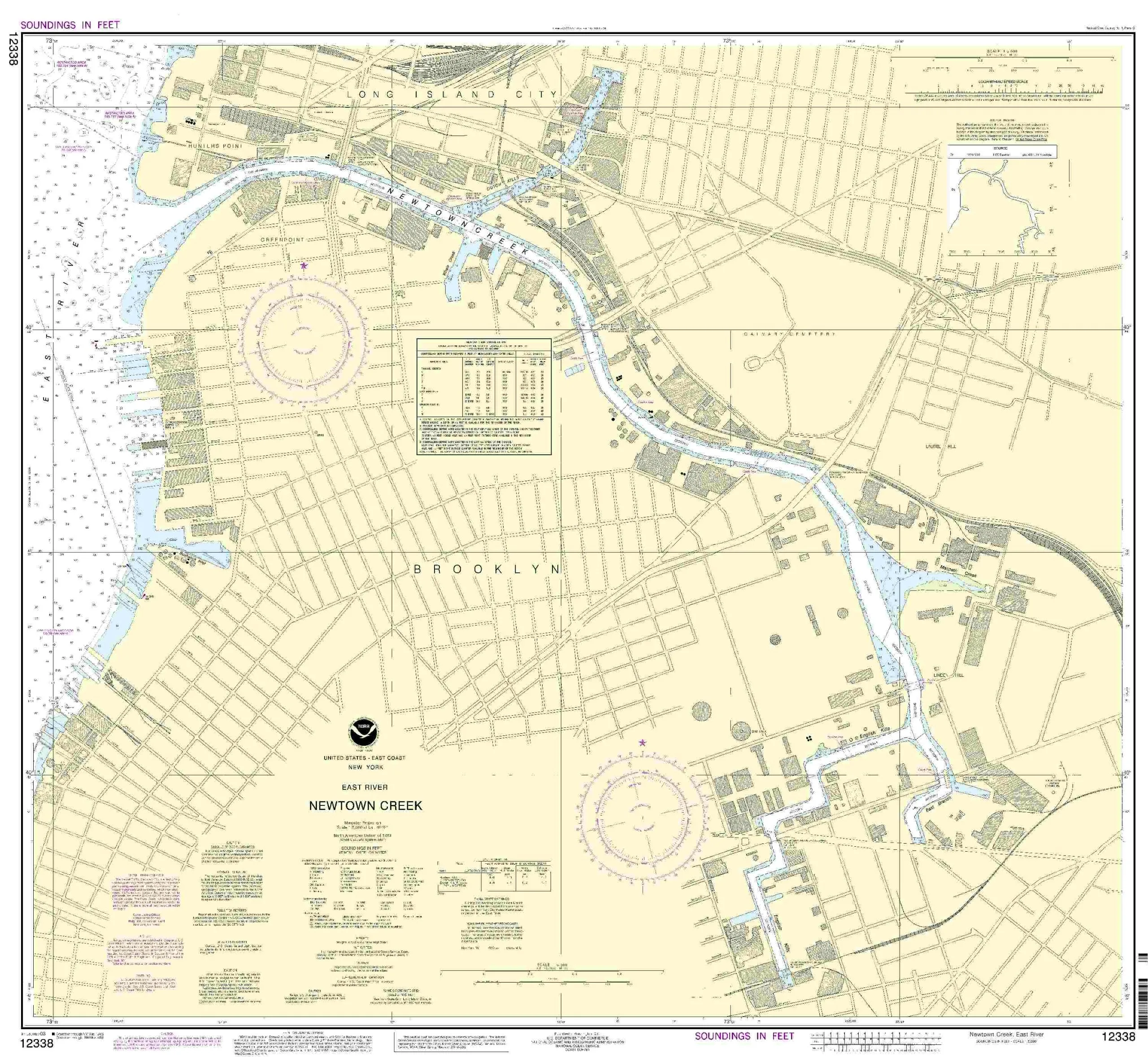
East River Newtown Creek Nautical Chart by NOAA – Updated, Approved, & Meets SOLAS Requirements
Rated
0
out of 5
$
20.94
Buy product
Buy product
Charts & Maps
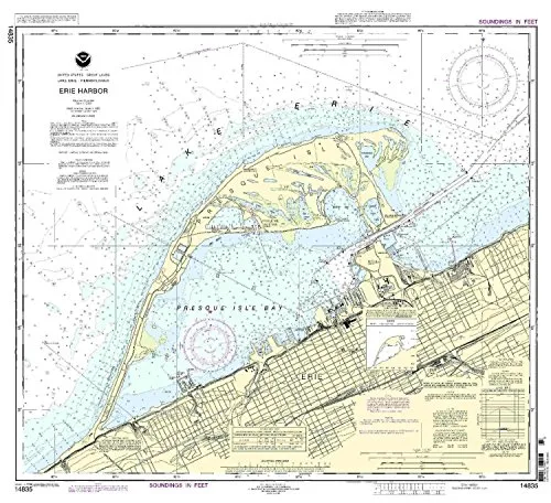
Erie Harbor Nautical Chart by NOAA – 1:15000 Scale, 29.42” H x 32.64” W, Approved for Commercial Use
Rated
0
out of 5
$
28.00
Buy product
Buy product
Charts & Maps
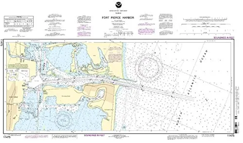
Fort Pierce Harbor Nautical Chart 11475 by NOAA – Up-to-Date, Approved for Commercial Vessels
Rated
0
out of 5
$
20.94
Buy product
←
1
2
3
4
5
6
…
9
10
11
→
Scroll to Top