Skip to content
Trout Derby
About
Cart
Checkout
Collections
Contact
Home
My Account
Payment Methods
Privacy Policy
Return Policy
Shipping Policy
Shop
Terms of Use
Track your order
Trout Derby
Main Menu
About
Cart
Checkout
Collections
Contact
Home
My Account
Payment Methods
Privacy Policy
Return Policy
Shipping Policy
Shop
Terms of Use
Track your order
Home
/
Shop
/
Products tagged “NOAA nautical chart”
/ Page 5
NOAA nautical chart
Showing 49–60 of 121 results
Default sorting
Sort by popularity
Sort by average rating
Sort by latest
Sort by price: low to high
Sort by price: high to low
Buy product
Charts & Maps
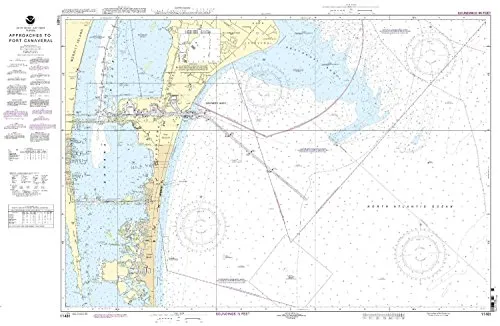
NOAA 11481 Nautical Chart for Port Canaveral – Updated, Approved, Meets SOLAS Requirements
Rated
0
out of 5
$
20.94
Buy product
Buy product
Charts & Maps
NOAA 14867 Saginaw River Nautical Chart, Up-to-Date with NTM Updates, USCG Approved
Rated
0
out of 5
$
20.94
Buy product
Buy product
Charts & Maps
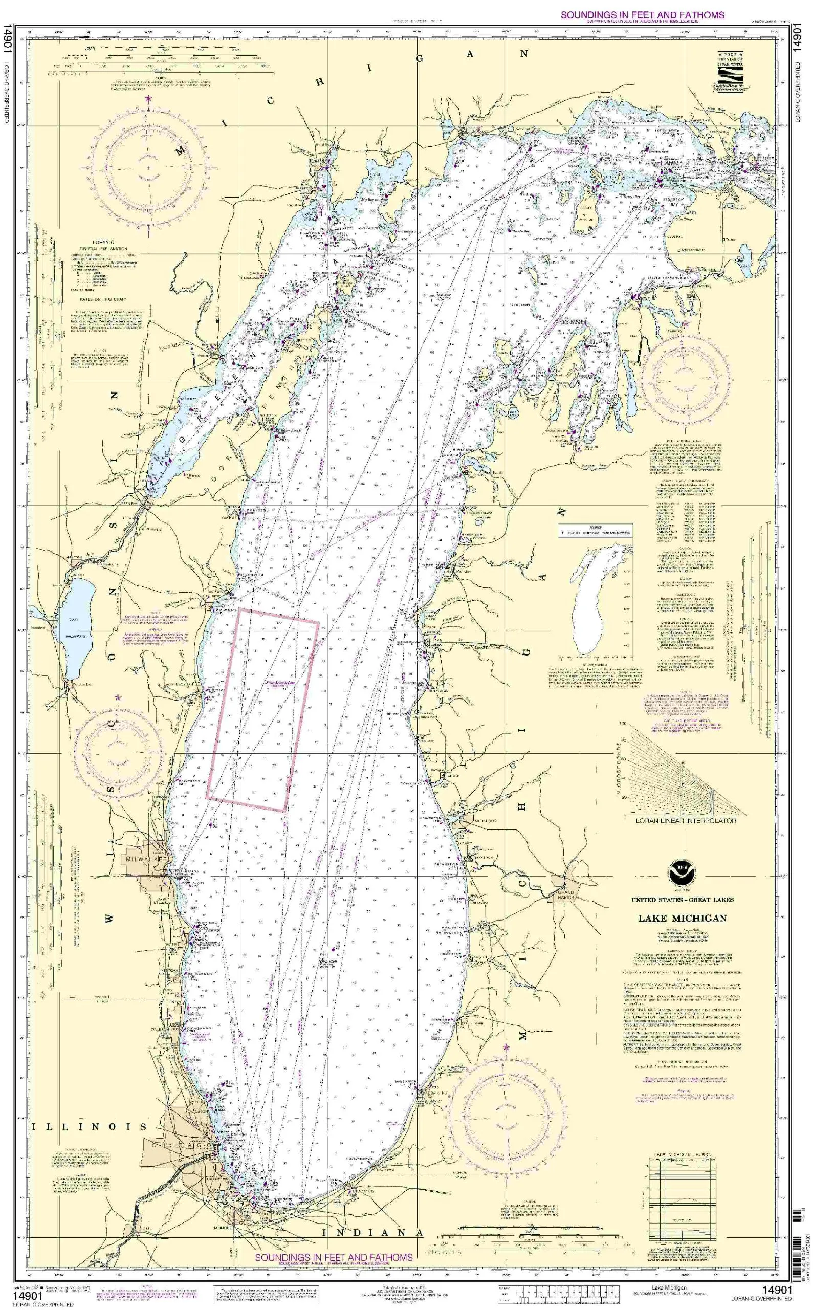
NOAA 14901 Lake Michigan Nautical Chart with Current NTM Updates – Commercial & Recreational Use
Rated
0
out of 5
$
20.94
Buy product
Buy product
Charts & Maps
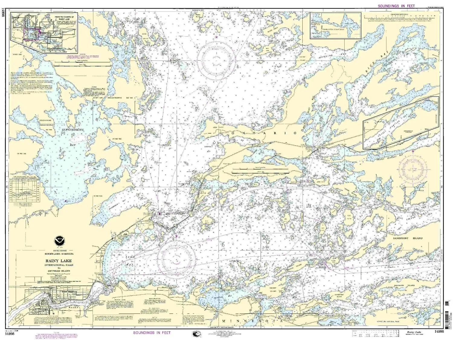
NOAA 14998 Rainy Lake Nautical Chart – International Falls to Dryweed Island, Approved & Updated
Rated
0
out of 5
$
27.95
Buy product
Buy product
Charts & Maps
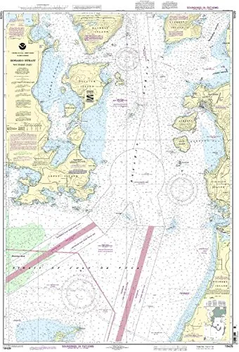
NOAA 18429-Rosario Strait Nautical Chart – Southern Part, Updated with All NTM Corrections
Rated
0
out of 5
$
29.95
Buy product
Buy product
Charts & Maps
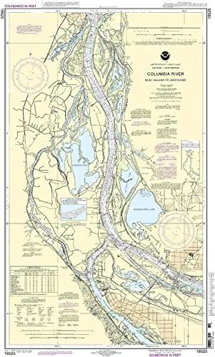
NOAA 18525 Saint Helens to Vancouver Nautical Chart – 1:40000 Scale for Pacific Northwest
Rated
0
out of 5
$
28.00
Buy product
Buy product
Charts & Maps
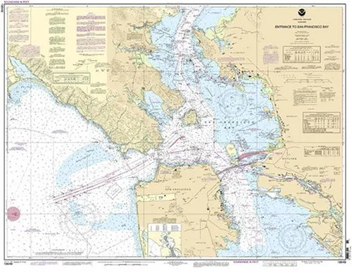
NOAA 18649 Nautical Chart of San Francisco Bay – On-Demand, Accurate Marine Navigation Guide
Rated
0
out of 5
$
27.95
Buy product
Buy product
Charts & Maps
NOAA 25641 Nautical Chart – Up-to-Date, U.S. Coast Guard Approved, OceanGrafix Printed on Demand
Rated
0
out of 5
$
27.95
Buy product
Buy product
Charts & Maps
NOAA Approved Mount Hope Bay Nautical Chart – OceanGrafix – Printed on Demand, All NTM Updates Included
Rated
0
out of 5
$
20.94
Buy product
Buy product
Charts & Maps
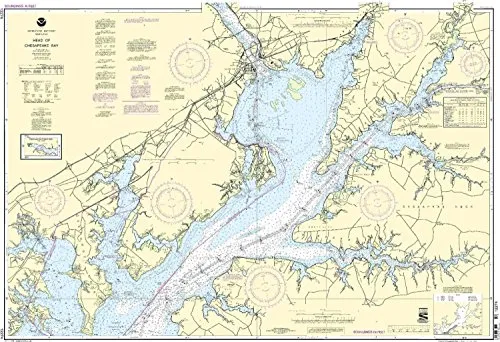
NOAA Approved Nautical Chart 12274: Head of Chesapeake Bay – Printed on Demand, Latest Updates
Rated
0
out of 5
$
32.95
Buy product
Buy product
Charts & Maps
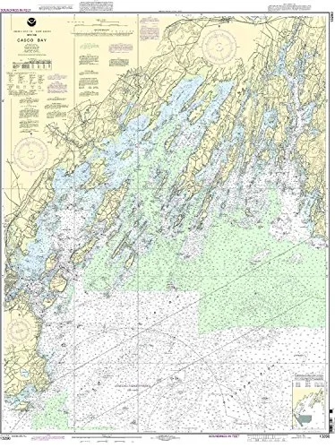
NOAA Casco Bay Nautical Chart 1:40000 Scale, 46.4” H x 35.97” W, U.S. Coast Guard Approved
Rated
0
out of 5
$
20.94
Buy product
Buy product
Charts & Maps
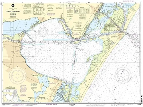
NOAA Chart 11309: Corpus Christi Bay Nautical Chart, Up-to-Date, U.S. Coast Guard Approved
Rated
0
out of 5
$
20.94
Buy product
←
1
2
3
4
5
6
7
8
9
10
11
→
Scroll to Top