Skip to content
Trout Derby
About
Cart
Checkout
Collections
Contact
Home
My Account
Payment Methods
Privacy Policy
Return Policy
Shipping Policy
Shop
Terms of Use
Track your order
Trout Derby
Main Menu
About
Cart
Checkout
Collections
Contact
Home
My Account
Payment Methods
Privacy Policy
Return Policy
Shipping Policy
Shop
Terms of Use
Track your order
Home
/
Shop
/
Products tagged “NOAA nautical chart”
/ Page 7
NOAA nautical chart
Showing 73–84 of 121 results
Default sorting
Sort by popularity
Sort by average rating
Sort by latest
Sort by price: low to high
Sort by price: high to low
Buy product
Charts & Maps
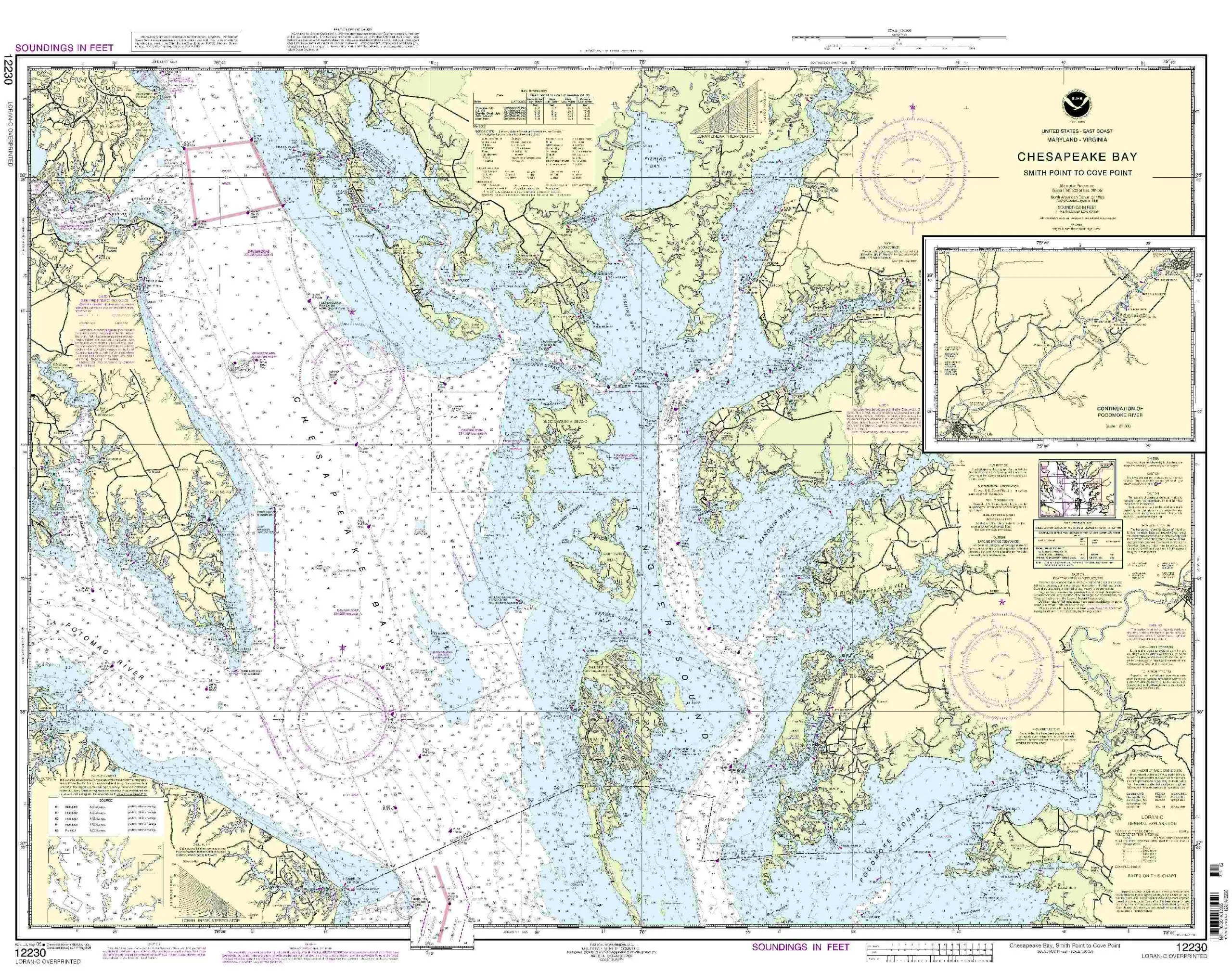
NOAA Nautical Chart 12230-Smith Point to Cove Point, 1:80000 Scale, 32.76’H x 42.26’W
Rated
0
out of 5
$
20.94
Buy product
Buy product
Charts & Maps
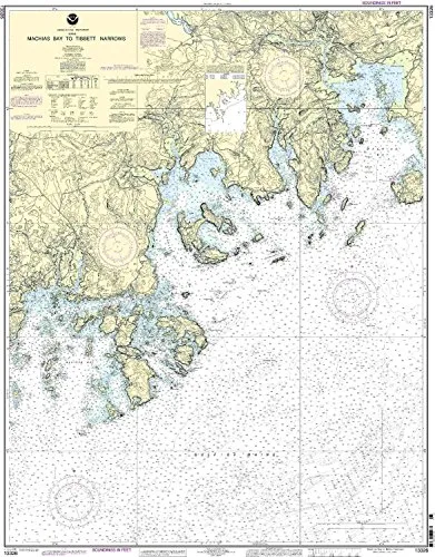
NOAA Nautical Chart 13326: Machias Bay to Tibbett Narrows – Accurate, Up-to-Date, U.S. Coast Guard Approved
Rated
0
out of 5
$
20.94
Buy product
Buy product
Charts & Maps
NOAA Nautical Chart 14770 Morristown N.Y. to Butternut Ontario 1:15000 Scale 29.45” x 37.48”
Rated
0
out of 5
$
20.94
Buy product
Buy product
Charts & Maps
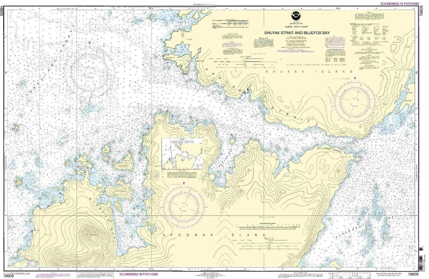
NOAA Nautical Chart 16605 – Shuyak Strait & Bluefox Bay, 1:20000 Scale, Pacific Northwest/Alaska
Rated
0
out of 5
$
34.95
Buy product
Buy product
Charts & Maps
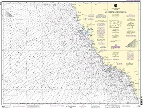
NOAA Nautical Chart 18020: San Diego to Cape Mendocino – U.S. Coast Guard Approved, On-Demand
Rated
0
out of 5
$
29.95
Buy product
Buy product
Charts & Maps
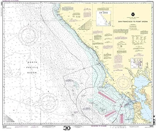
NOAA Nautical Chart 18640 San Francisco to Point Arena, 33.51′ H x 40.72′ W, U.S. Coast Guard Approved
Rated
0
out of 5
$
29.95
Buy product
Buy product
Charts & Maps
NOAA Nautical Chart 18685 – Monterey Bay, Moss Landing, Santa Cruz – 1:50000 Scale, 42.89′ x 30.41′
Rated
0
out of 5
$
27.95
Buy product
Buy product
Charts & Maps
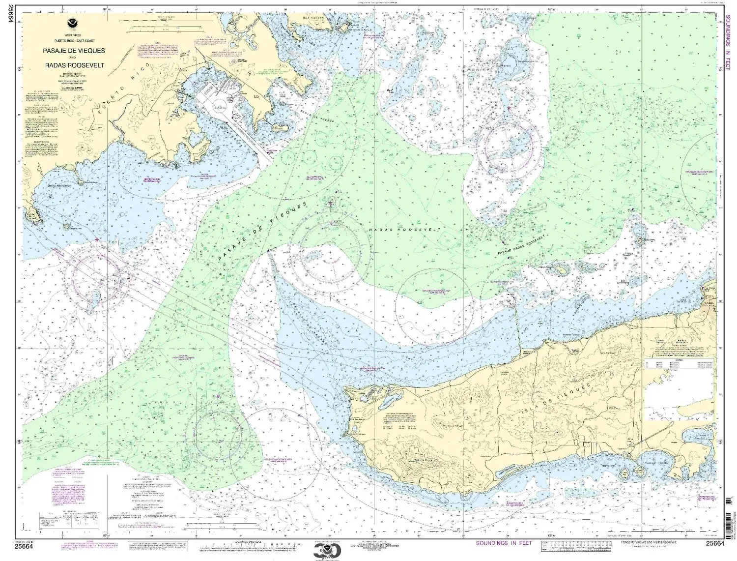
NOAA Nautical Chart 25664 – Pasaje de Vieques and Radas Roosevelt, 1:25000 Scale, 36.15′ x 46.13′
Rated
0
out of 5
$
28.00
Buy product
Buy product
Charts & Maps
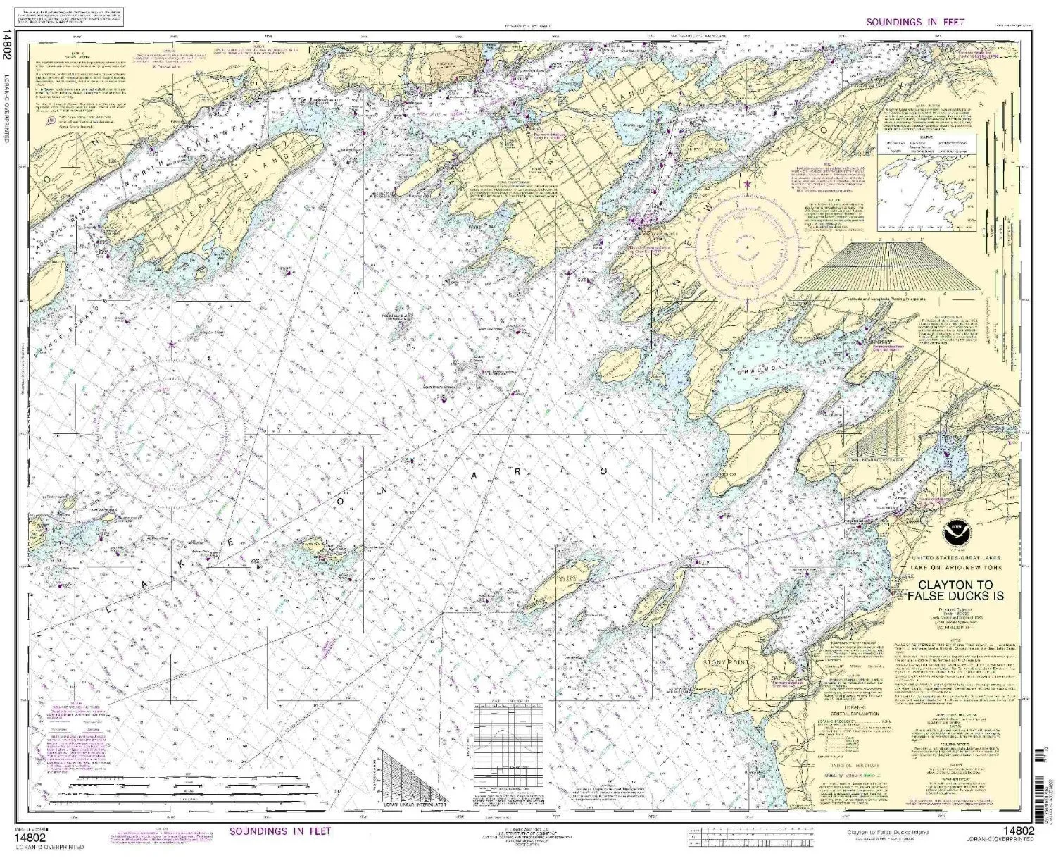
NOAA Nautical Chart Clayton to False Ducks Island 29.59′ H x 36.41′ W – 1:80000 Scale, U.S. Coast Guard Approved
Rated
0
out of 5
$
20.94
Buy product
Buy product
Charts & Maps
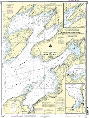
NOAA Nautical Chart for Chaumont, Henderson, Black River Bays – 1:30000 Scale, 38.26” H x 28.21” W
Rated
0
out of 5
$
20.94
Buy product
Buy product
Charts & Maps
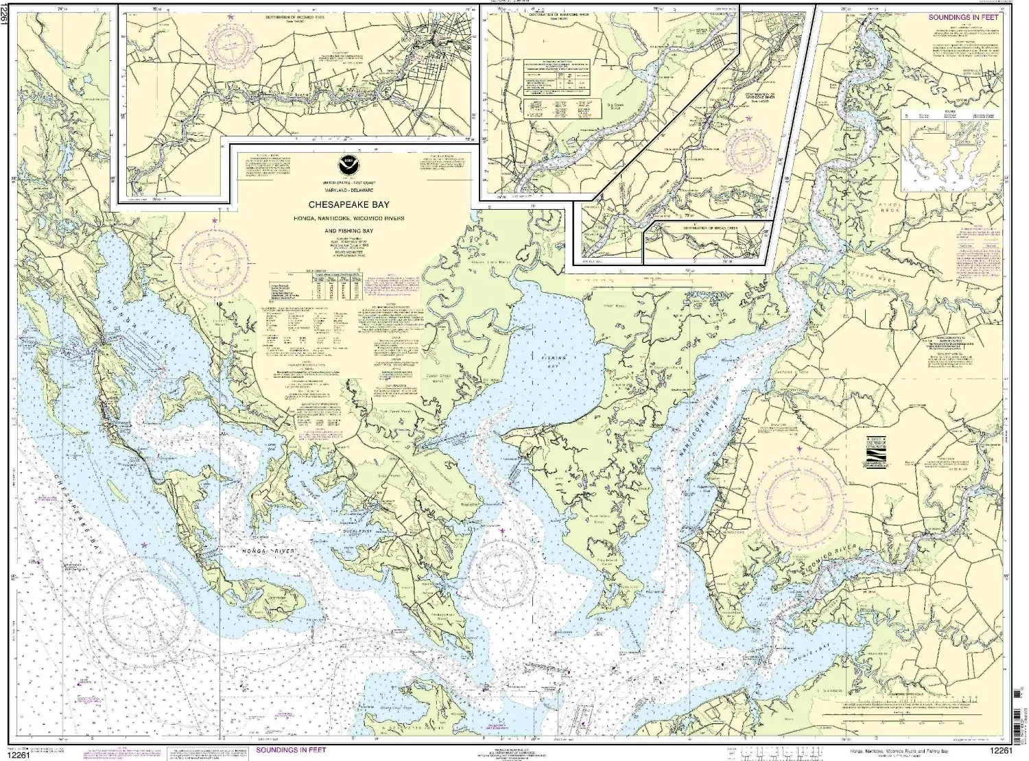
NOAA Nautical Chart for Honga, Nanticoke, Wicomico Rivers & Fishing Bay – 35.63′ x 47.47′
Rated
0
out of 5
$
20.94
Buy product
Buy product
Charts & Maps
NOAA Nautical Chart for Severn & Magothy Rivers – 1:25000 Scale – 32.95′ H x 40.61′ W
Rated
0
out of 5
$
20.94
Buy product
←
1
2
3
4
5
6
7
8
9
10
11
→
Scroll to Top