Skip to content
Trout Derby
About
Cart
Checkout
Collections
Contact
Home
My Account
Payment Methods
Privacy Policy
Return Policy
Shipping Policy
Shop
Terms of Use
Track your order
Trout Derby
Main Menu
About
Cart
Checkout
Collections
Contact
Home
My Account
Payment Methods
Privacy Policy
Return Policy
Shipping Policy
Shop
Terms of Use
Track your order
Home
/
Shop
/
Products tagged “NOAA nautical chart”
/ Page 8
NOAA nautical chart
Showing 85–96 of 121 results
Default sorting
Sort by popularity
Sort by average rating
Sort by latest
Sort by price: low to high
Sort by price: high to low
Buy product
Charts & Maps
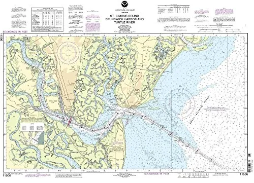
NOAA Nautical Chart for St. Simons Sound, Brunswick Harbor & Turtle River – On-Demand Updates
Rated
0
out of 5
$
20.94
Buy product
Buy product
Charts & Maps
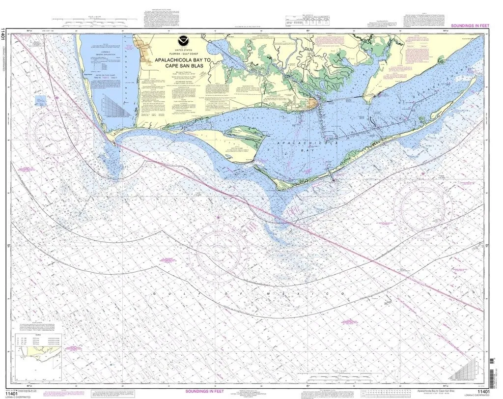
NOAA Nautical Chart: Apalachicola Bay to Cape San Blas – 1:80000 Scale, 33.28” H x 42.46” W
Rated
0
out of 5
$
20.94
Buy product
Buy product
Charts & Maps
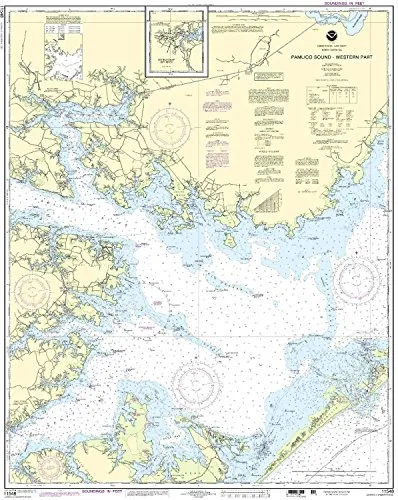
NOAA Pamlico Sound Nautical Chart – Western Part – Latest Updates – U.S. Coast Guard Approved
Rated
0
out of 5
$
20.94
Buy product
Buy product
Charts & Maps
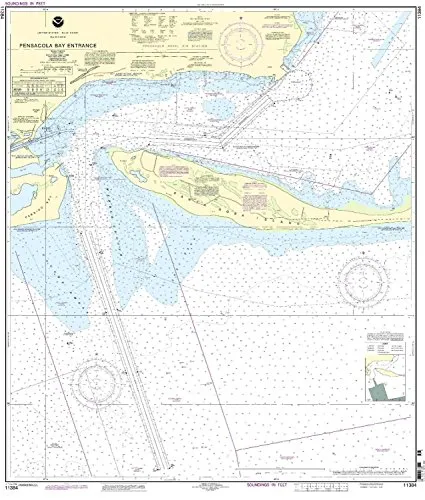
NOAA Pensacola Bay Entrance Nautical Chart – Accurate, Up-to-Date, Printed on Demand, USCG Approved
Rated
0
out of 5
$
20.94
Buy product
Buy product
Charts & Maps
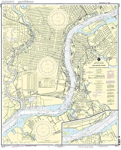
NOAA Philadelphia/Camden Waterfront Nautical Chart 1:15000 Scale, 41.48” H x 34.28” W
Rated
0
out of 5
$
20.94
Buy product
Buy product
Charts & Maps
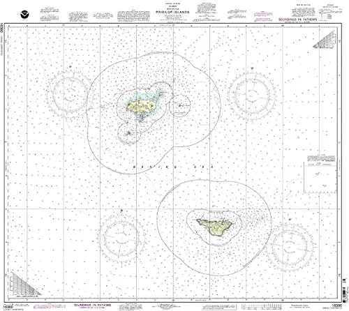
NOAA Pribilof Islands Nautical Chart – Updated, U.S. Coast Guard Approved, Meets SOLAS Regulations
Rated
0
out of 5
$
27.95
Buy product
Buy product
Charts & Maps
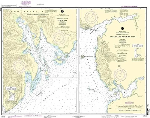
NOAA Pybus Bay Nautical Chart 17363 – Updated, Approved for Commercial Vessels, Printed on Demand
Rated
0
out of 5
$
32.95
Buy product
Buy product
Charts & Maps
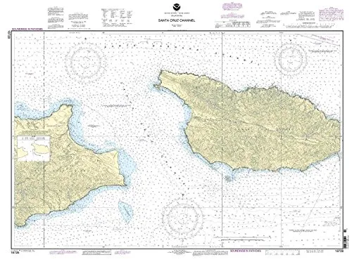
NOAA Santa Cruz Channel Nautical Chart 18728 – Up-to-Date, U.S. Coast Guard Approved for Mariners
Rated
0
out of 5
$
28.00
Buy product
Buy product
Charts & Maps
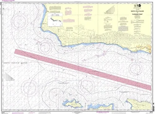
NOAA Santa Cruz Island to Purisima Point Nautical Chart – Up-to-Date, U.S. Coast Guard Approved
Rated
0
out of 5
$
26.60
Buy product
Buy product
Charts & Maps
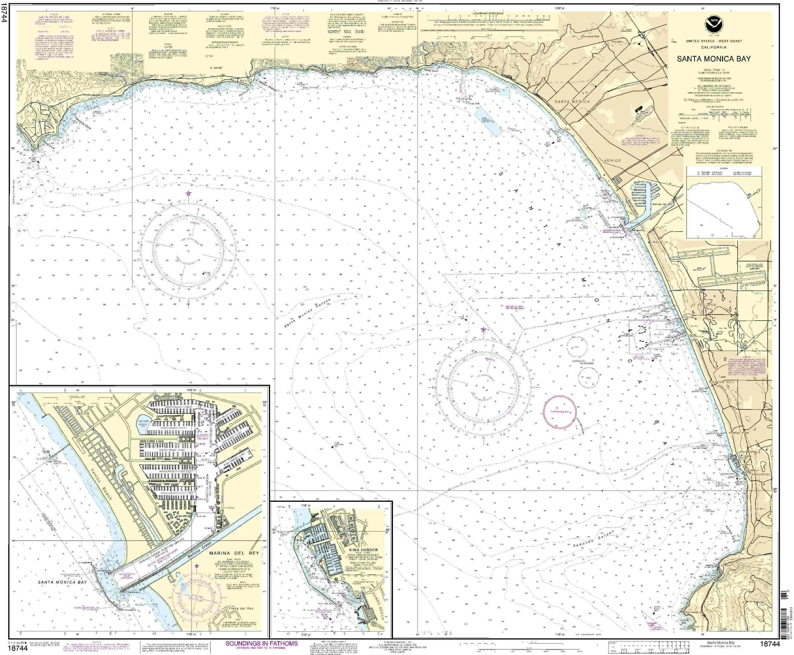
NOAA Santa Monica Bay Nautical Chart 1:40000 Scale – King Harbor, Marina Del Rey, 35.88” H x 43.1” W
Rated
0
out of 5
$
28.00
Buy product
Buy product
Charts & Maps
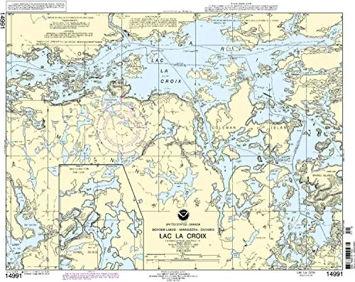
NOAA-Approved Chart 14991 Lac la Croix – Up-to-Date Nautical Chart for Mariners
Rated
0
out of 5
$
28.00
Buy product
Buy product
Charts & Maps
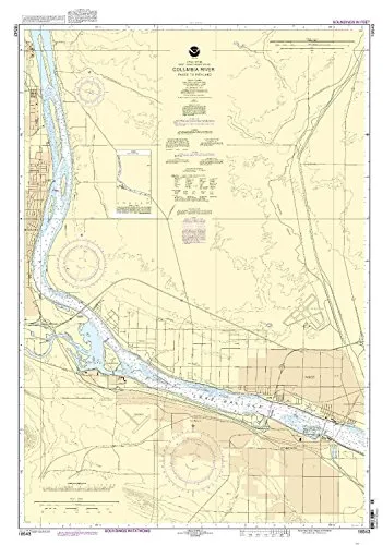
NOAA-Approved Nautical Chart – Columbia River Pasco to Richland – Latest Updates for Mariners
Rated
0
out of 5
$
27.95
Buy product
←
1
2
3
…
5
6
7
8
9
10
11
→
Scroll to Top