Skip to content
Trout Derby
About
Cart
Checkout
Collections
Contact
Home
My Account
Payment Methods
Privacy Policy
Return Policy
Shipping Policy
Shop
Terms of Use
Track your order
Trout Derby
Main Menu
About
Cart
Checkout
Collections
Contact
Home
My Account
Payment Methods
Privacy Policy
Return Policy
Shipping Policy
Shop
Terms of Use
Track your order
Home
/
Shop
/
Products tagged “NOAA nautical chart”
/ Page 9
NOAA nautical chart
Showing 97–108 of 121 results
Default sorting
Sort by popularity
Sort by average rating
Sort by latest
Sort by price: low to high
Sort by price: high to low
Buy product
Charts & Maps
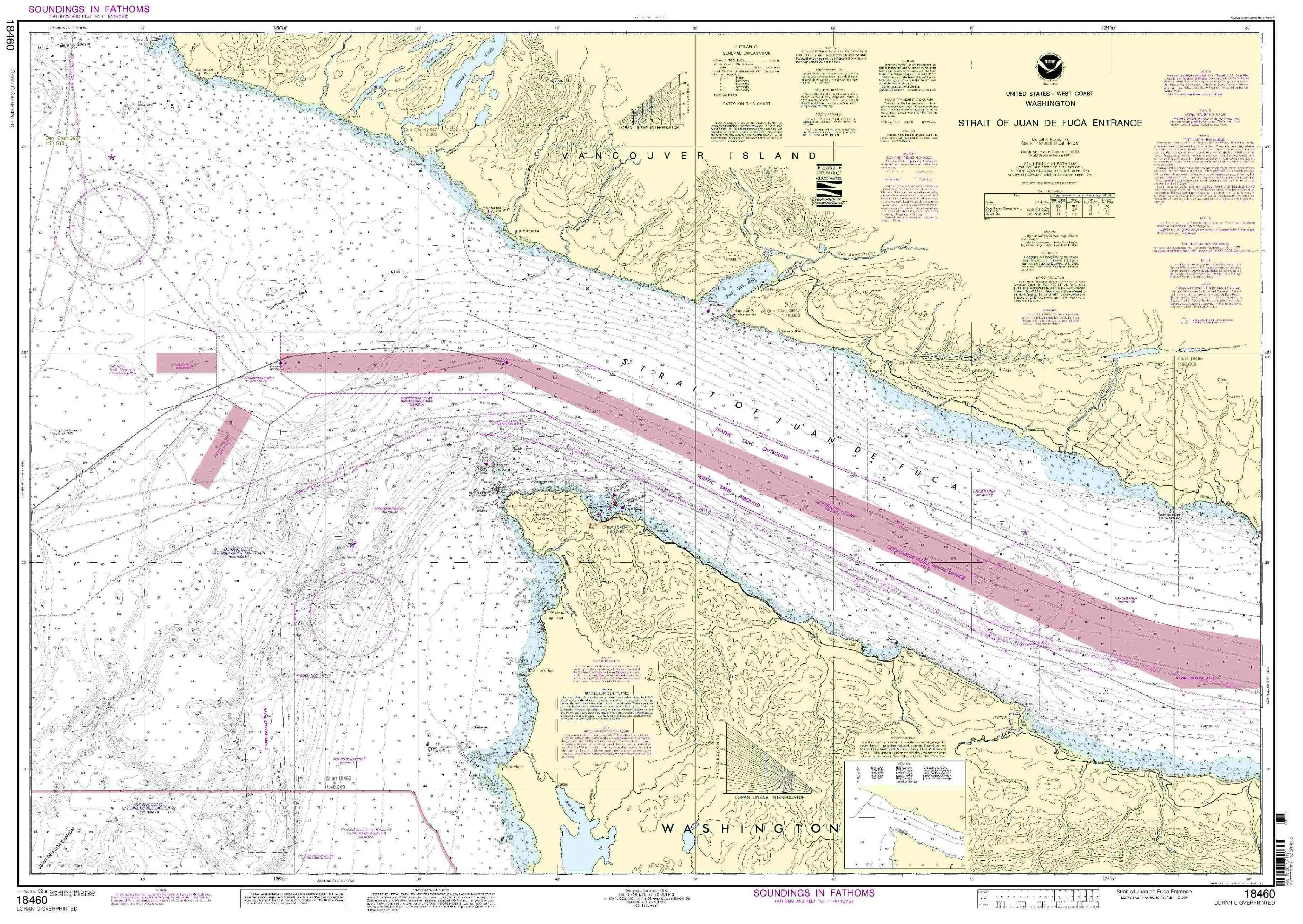
NOAA-Approved Nautical Chart 18460 of Strait of Juan de Fuca Entrance, 31.91′ x 45.32′, 1:100000 Scale
Rated
0
out of 5
$
29.95
Buy product
Buy product
Charts & Maps
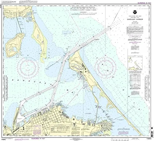
NOAA-Approved Nautical Chart by OceanGrafix, Printed on Demand, Updated for Mariners, Size: 14845
Rated
0
out of 5
$
20.94
Buy product
Buy product
Charts & Maps
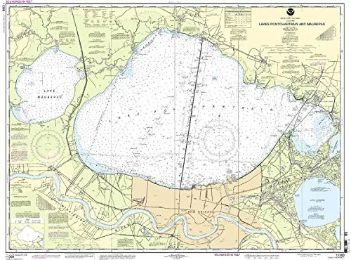
NOAA-Approved Nautical Chart for Lakes Pontchartrain & Maurepa, 1:80000 Scale, 32.84” H x 43.6” W
Rated
0
out of 5
$
29.95
Buy product
Buy product
Charts & Maps
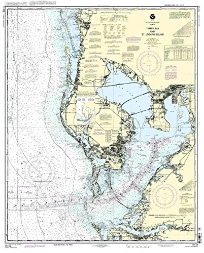
NOAA-Approved Tampa Bay and St. Joseph Sound Nautical Chart – Accurate, On-Demand, NTM Updated
Rated
0
out of 5
$
20.94
Buy product
Buy product
Charts & Maps
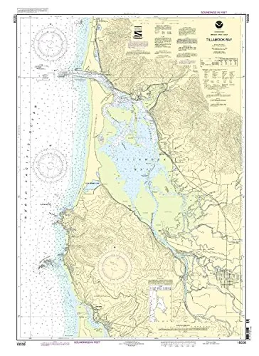
NOAA-Approved Tillamook Bay Nautical Chart – Printed on Demand with Latest Updates
Rated
0
out of 5
$
27.95
Buy product
Buy product
Charts & Maps
Pascagoula Harbor NOAA Nautical Chart 34.67′ x 48.24′ – Up-to-Date OceanGrafix with USCG Approval
Rated
0
out of 5
$
20.94
Buy product
Buy product
Charts & Maps
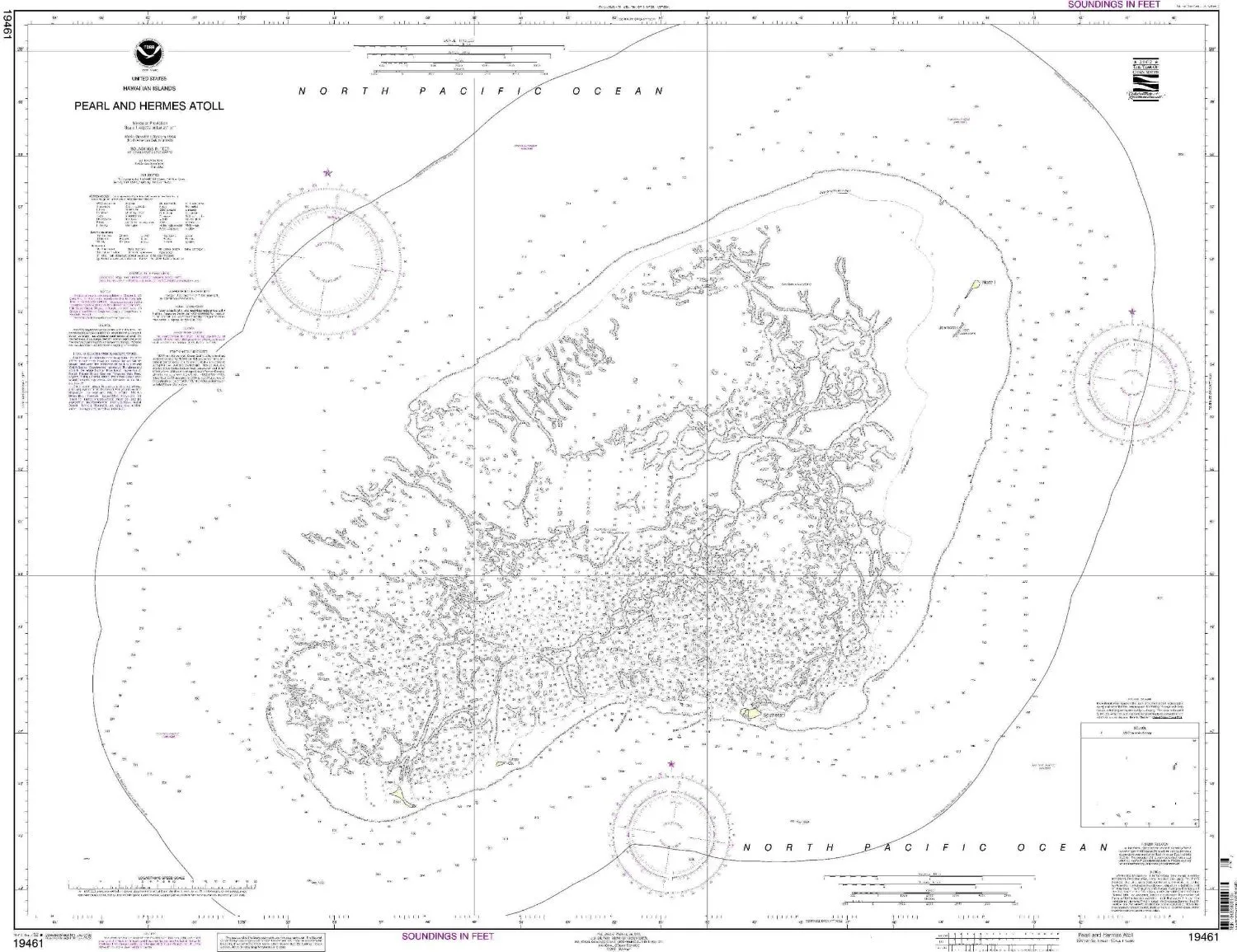
Pearl and Hermes Atoll NOAA Nautical Chart – Up-to-Date OceanGrafix Print for Mariners
Rated
0
out of 5
$
27.95
Buy product
Buy product
Charts & Maps
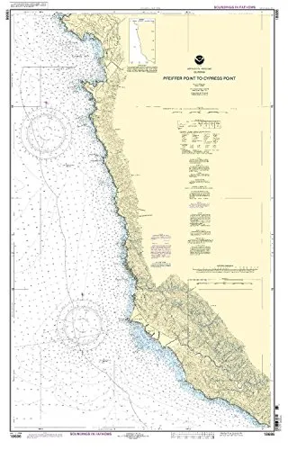
Pfeiffer Point to Cypress Point Nautical Chart – NOAA Approved, On-Demand Printing, USCG Certified
Rated
0
out of 5
$
28.00
Buy product
Buy product
Charts & Maps
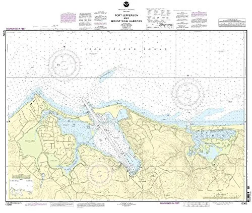
Port Jefferson & Mount Sinai Harbors Nautical Chart – NOAA Approved, 34.23” H x 41.14” W
Rated
0
out of 5
$
20.94
Buy product
Buy product
Charts & Maps
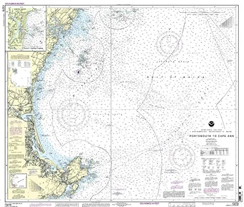
Portsmouth to Cape Ann Nautical Chart – NOAA Approved, Up-to-Date with NTM Corrections
Rated
0
out of 5
$
20.94
Buy product
Buy product
Charts & Maps
Rochester Harbor Nautical Chart by NOAA, Genessee River Navigation, U.S. Coast Guard Approved
Rated
0
out of 5
$
20.94
Buy product
Buy product
Charts & Maps
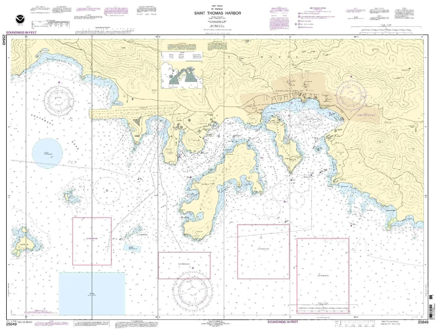
Saint Thomas Harbor Nautical Chart 25649 by NOAA – 33.79” H x 45.51” W, 1:10000 Scale, Approved
Rated
0
out of 5
$
28.00
Buy product
←
1
2
3
…
6
7
8
9
10
11
→
Scroll to Top