Skip to content
Trout Derby
About
Cart
Checkout
Collections
Contact
Home
My Account
Payment Methods
Privacy Policy
Return Policy
Shipping Policy
Shop
Terms of Use
Track your order
Trout Derby
Main Menu
About
Cart
Checkout
Collections
Contact
Home
My Account
Payment Methods
Privacy Policy
Return Policy
Shipping Policy
Shop
Terms of Use
Track your order
Home
/
Shop
/ Products tagged “OceanGrafix”
OceanGrafix
Showing all 6 results
Default sorting
Sort by popularity
Sort by average rating
Sort by latest
Sort by price: low to high
Sort by price: high to low
Buy product
Charts & Maps
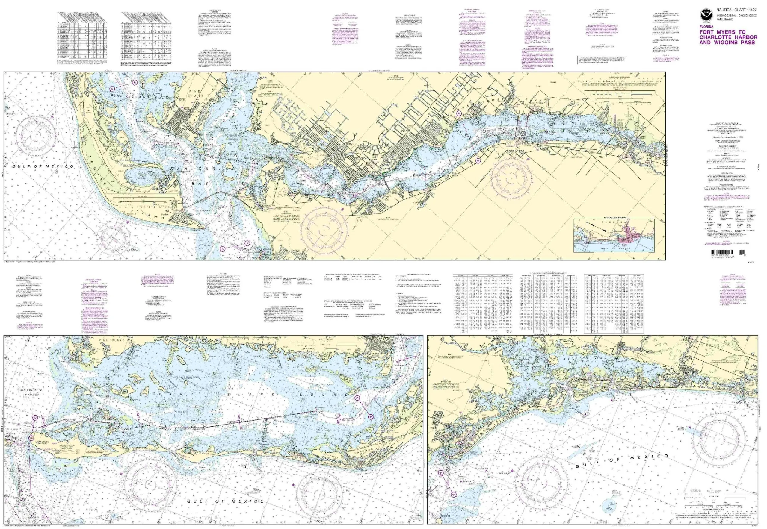
11427-Intracoastal Waterway Chart – Fort Myers to Charlotte Harbor, NOAA Approved, Printed on Demand
Rated
0
out of 5
$
20.94
Buy product
Buy product
Charts & Maps
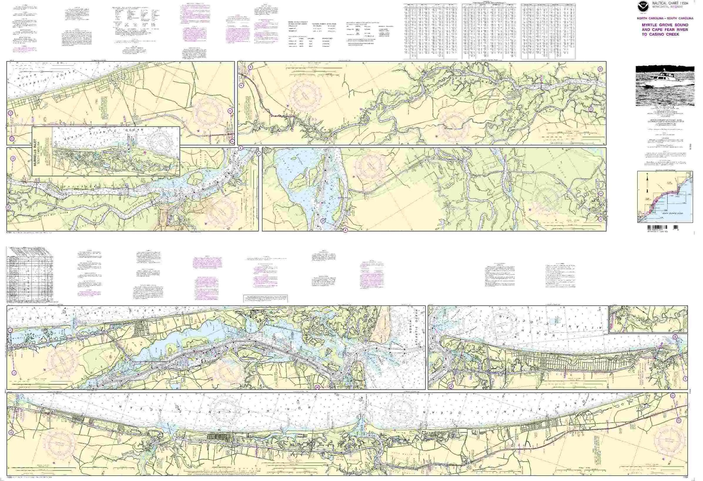
Chart 11534 Nautical Chart Myrtle Grove Sound & Cape Fear River – NOAA Approved, OceanGrafix
Rated
0
out of 5
$
20.94
Buy product
Buy product
Charts & Maps
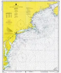
Historical Nautical Chart 13003LORANA-10-1975: MA, Cape Sable to Cape Hatteras, Year 1975
Rated
0
out of 5
$
49.60
Buy product
Buy product
Charts & Maps
Hurricane Tracking Chart – Full Atlantic by Oceangrafix, 35′ x 26′, NOAA-Approved Nautical Chart
Rated
0
out of 5
$
33.50
Buy product
Buy product
Charts & Maps
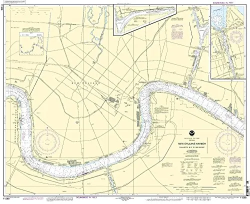
New Orleans Harbor Nautical Chart – Chalmette Slip to Southport, NOAA Approved, OceanGrafix
Rated
0
out of 5
$
20.94
Buy product
Buy product
Charts & Maps
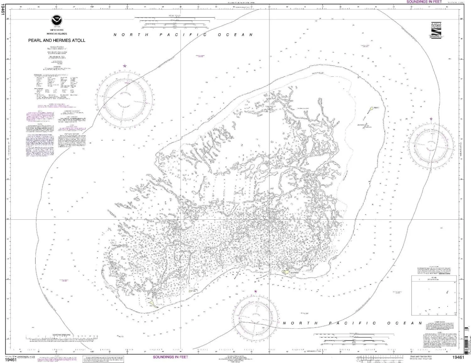
Pearl and Hermes Atoll NOAA Nautical Chart – Up-to-Date OceanGrafix Print for Mariners
Rated
0
out of 5
$
27.95
Buy product
Scroll to Top