Skip to content
Trout Derby
About
Cart
Checkout
Collections
Contact
Home
My Account
Payment Methods
Privacy Policy
Return Policy
Shipping Policy
Shop
Terms of Use
Track your order
Trout Derby
Main Menu
About
Cart
Checkout
Collections
Contact
Home
My Account
Payment Methods
Privacy Policy
Return Policy
Shipping Policy
Shop
Terms of Use
Track your order
Home
/
Shop
/ Products tagged “OceanGrafix nautical chart”
OceanGrafix nautical chart
Showing 1–12 of 13 results
Default sorting
Sort by popularity
Sort by average rating
Sort by latest
Sort by price: low to high
Sort by price: high to low
Buy product
Charts & Maps
14931-Grand River Nautical Chart by NOAA – OceanGrafix, Printed On-Demand, U.S. Coast Guard Approved
Rated
0
out of 5
$
20.94
Buy product
Buy product
Charts & Maps
18664-Sacramento River Nautical Chart – Sacramento to Fourmile Bend, NOAA-Approved, U.S. Coast Guard Certified
Rated
0
out of 5
$
27.95
Buy product
Buy product
Charts & Maps
Historical Nautical Chart LS819-05-1911 Manitowoc Harbor 1911 Edition for Collectors and Enthusiasts
Rated
0
out of 5
$
49.60
Buy product
Buy product
Charts & Maps
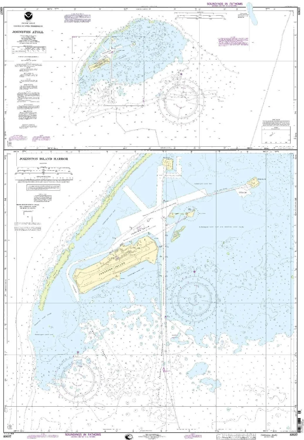
Johnston Atoll Nautical Chart, NOAA Approved 1:50000 Scale, 49.03” H x 34” W, OceanGrafix
Rated
0
out of 5
$
34.95
Buy product
Buy product
Charts & Maps
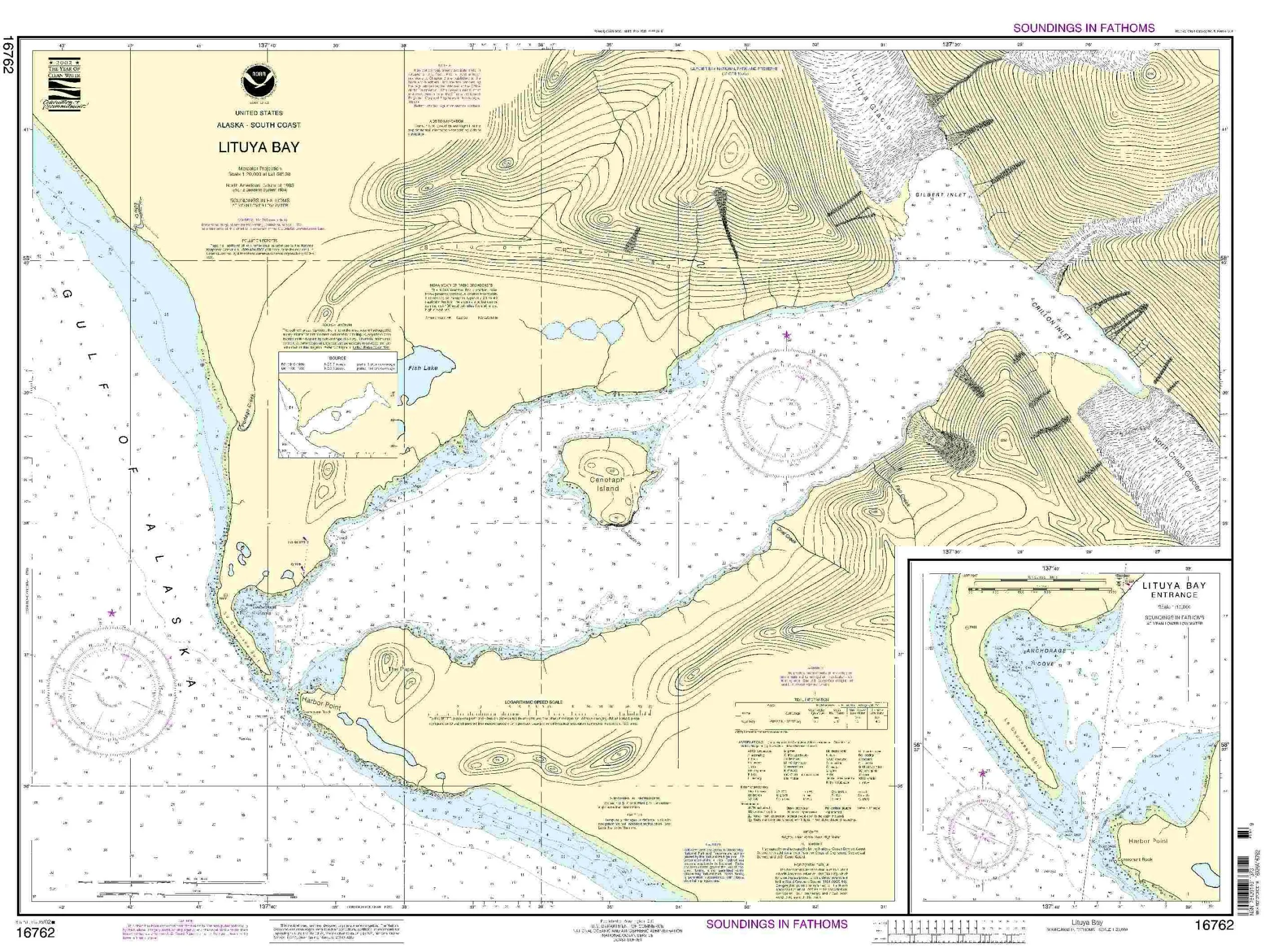
Lituya Bay Nautical Chart – NOAA Approved, Up-to-Date OceanGrafix, Meets SOLAS Requirements
Rated
0
out of 5
$
29.95
Buy product
Buy product
Charts & Maps
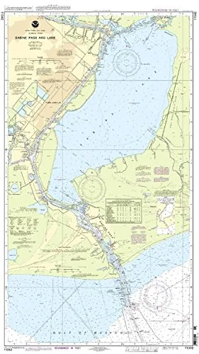
NOAA 11342 Sabine Pass and Lake Nautical Chart – Approved for Commercial Vessels, Printed on Demand
Rated
0
out of 5
$
20.94
Buy product
Buy product
Charts & Maps
NOAA 25641 Nautical Chart – Up-to-Date, U.S. Coast Guard Approved, OceanGrafix Printed on Demand
Rated
0
out of 5
$
27.95
Buy product
Buy product
Charts & Maps
NOAA Approved Mount Hope Bay Nautical Chart – OceanGrafix – Printed on Demand, All NTM Updates Included
Rated
0
out of 5
$
20.94
Buy product
Buy product
Subjects
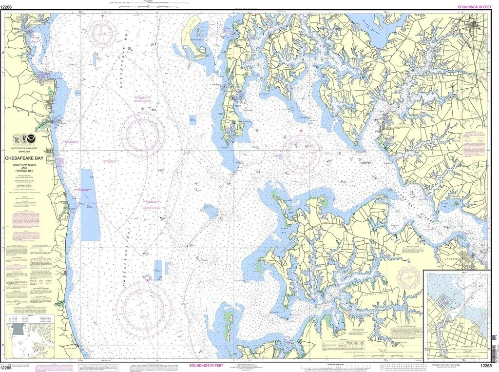
NOAA Chart 12266: Chesapeake Bay Choptank River and Herring Bay – Cambridge, OceanGrafix Approved
Rated
0
out of 5
$
28.95
Buy product
Buy product
Charts & Maps
Pascagoula Harbor NOAA Nautical Chart 34.67′ x 48.24′ – Up-to-Date OceanGrafix with USCG Approval
Rated
0
out of 5
$
20.94
Buy product
Buy product
Charts & Maps
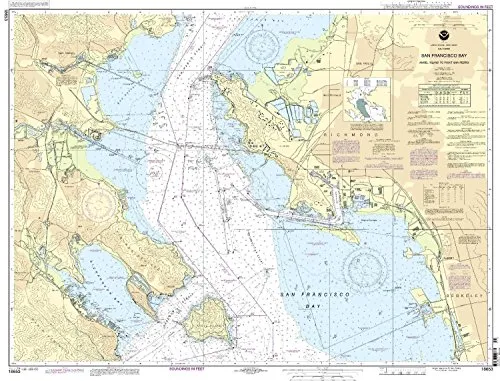
San Francisco Bay Nautical Chart – Angel Island to Point San Pedro, 1:20000 Scale
Rated
0
out of 5
$
27.95
Buy product
Buy product
Charts & Maps
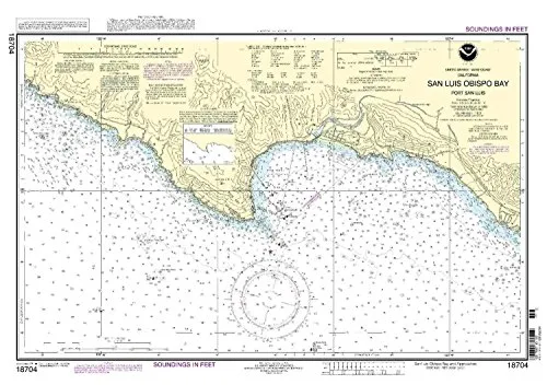
San Luis Obispo Bay Nautical Chart 18704 – NOAA Approved, Printed on Demand for Mariners
Rated
0
out of 5
$
29.95
Buy product
1
2
→
Scroll to Top