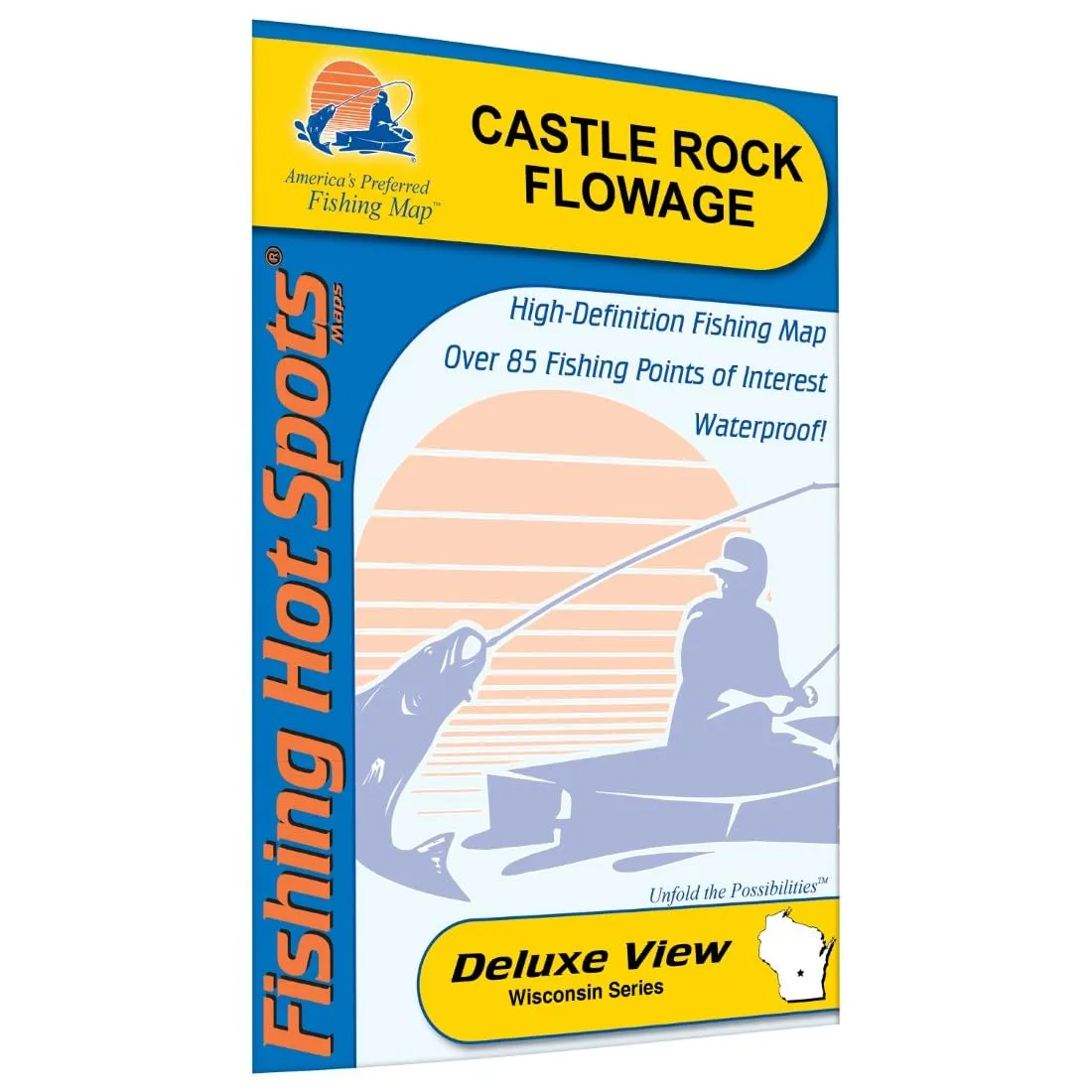
Discover the beauty and excitement of fishing at Castle Rock Flowage, nestled in the Juneau and Adams County region. This fishing map is your ultimate guide to navigating the largest lake in the Cass Lake Chain, renowned for its exceptional fishing opportunities. Whether you’re a seasoned angler or a novice, this map is designed to enhance your fishing experience, providing you with essential information that will lead you to the best spots.
Castle Rock Flowage is particularly famous for its impressive population of walleye, muskie, and perch. Anglers can expect thrilling catches, including muskie reaching up to 50 inches. This lake is a prime destination for those looking to reel in some of the most sought-after fish species. The fishing map provides detailed insights into the various fishery information, ensuring you’re well-prepared for your fishing adventure.
| Featured Species | Fishing Tips |
| Walleye | Use jigs and minnows for the best results during dawn and dusk. |
| Muskie | Target weed edges and rocky structures using large baits. |
| Perch | Small jigs and live bait work effectively in shallow waters. |
| Cisco (Tullibee) | Look for them in deeper waters during warmer months. |
The Castle Rock Flowage Fishing Map is not just a map; it’s a comprehensive resource. It includes a lake profile that details the depth and structure of the lake, giving anglers an understanding of where to cast their lines. You’ll also find fishery information that highlights the best times to fish, seasonal patterns, and more. Additionally, the map provides proven fishing areas that are marked for your convenience, ensuring that you can maximize your time on the water.
For those who prefer to have a clear path to the lake, the map includes driving directions to all seven access points around the flowage. Each access point is strategically located to allow for easy entry to the lake, making your fishing trip as hassle-free as possible. Whether you’re launching a boat or fishing from the shore, you’ll find that accessing the lake has never been easier.
Furthermore, the map includes GPS coordinates, so you can navigate effortlessly to your preferred fishing locations. This feature is particularly beneficial for those who want to explore the expansive waters of Castle Rock Flowage without the fear of getting lost.
In summary, the Castle Rock Flowage Fishing Map is an indispensable tool for any fishing enthusiast. It not only highlights the best spots for catching walleye, muskie, perch, and cisco but also equips you with fishing tips and techniques that can significantly increase your chances of a successful day on the water. Make your next fishing trip unforgettable with this expertly crafted map that combines all the essential information you need!

Reviews
There are no reviews yet.