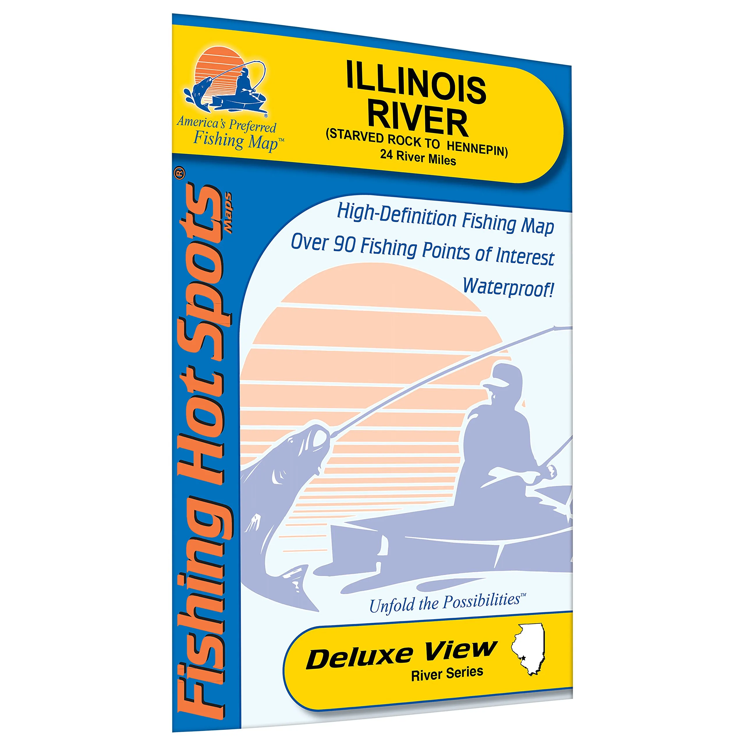
The Illinois River, stretching from Starved Rock to Hennepin, is a renowned fishing destination that every angler should explore. This particular fishing map provides invaluable information for fishing enthusiasts, covering a total of 24 river miles. Whether you are a seasoned pro or a beginner, this map will guide you to the best fishing spots along this stretch of the river.
One of the standout features of this fishing map is its durable, waterproof material. This ensures that no matter the weather conditions, you can rely on this map to provide accurate information. Wet maps can be a hassle, but with this waterproof option, you can focus on fishing rather than worrying about the elements.
Moreover, the map is expertly researched, showcasing shaded depth areas that are crucial for understanding the underwater landscape. Knowing the depths can significantly enhance your fishing experience, allowing you to target specific fish species effectively. The Illinois River is especially known for its abundant white bass, walleye, and sauger populations, making it a prime location for fishing tournaments, including a national walleye event held annually.
Additionally, the fishing areas are color-coded and marked clearly on the map, making it easy to navigate and find the best spots. This feature is particularly beneficial for those unfamiliar with the area. The marked fishing areas are designed to help anglers locate where the fish are biting, saving time and increasing the chances of a successful fishing trip.
Another essential aspect of the map is that it includes clearly marked boat accesses. For anglers who prefer to fish from a boat, having this information readily available is invaluable. It allows you to plan your fishing journey effectively, ensuring you have access to the best areas along the river.
In conclusion, the Illinois River (Starved Rock to Hennepin) Fishing Map is an essential tool for any angler looking to make the most of their fishing experiences in this region. Its waterproof material, expert research, color-coded fishing areas, and marked boat accesses combine to create a comprehensive guide that will enhance your time on the water. Get ready to cast your line and reel in some fantastic catches with this indispensable fishing map!


Reviews
There are no reviews yet.