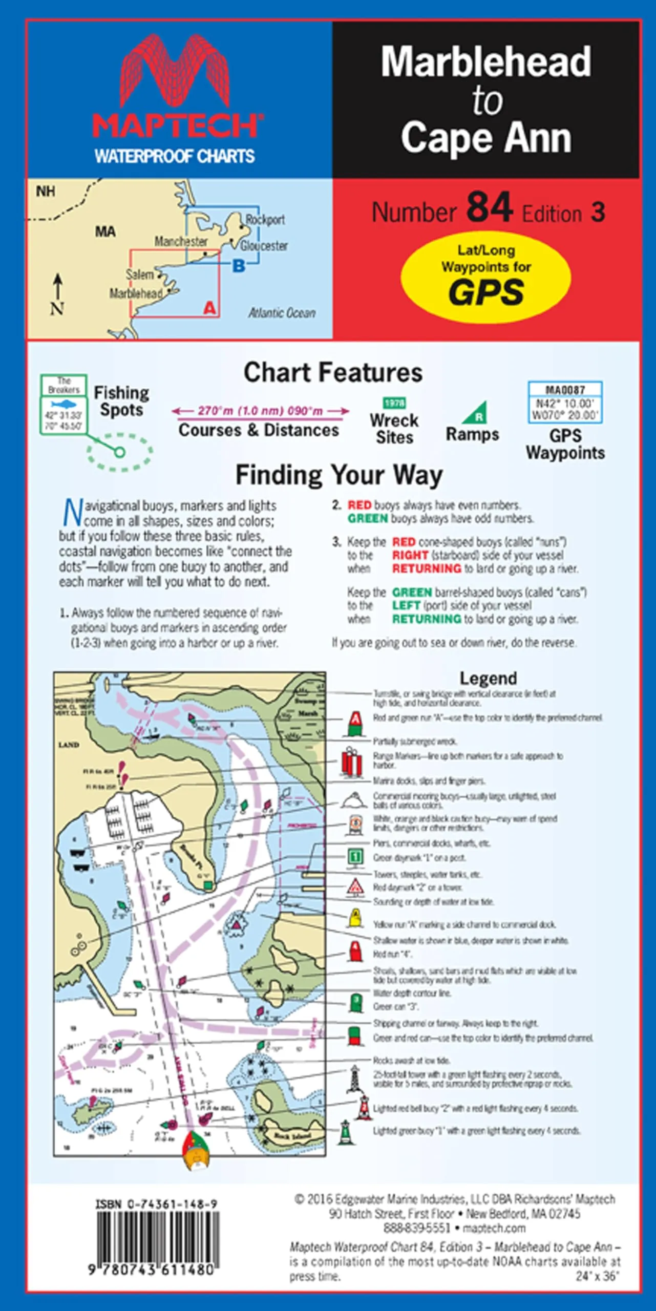
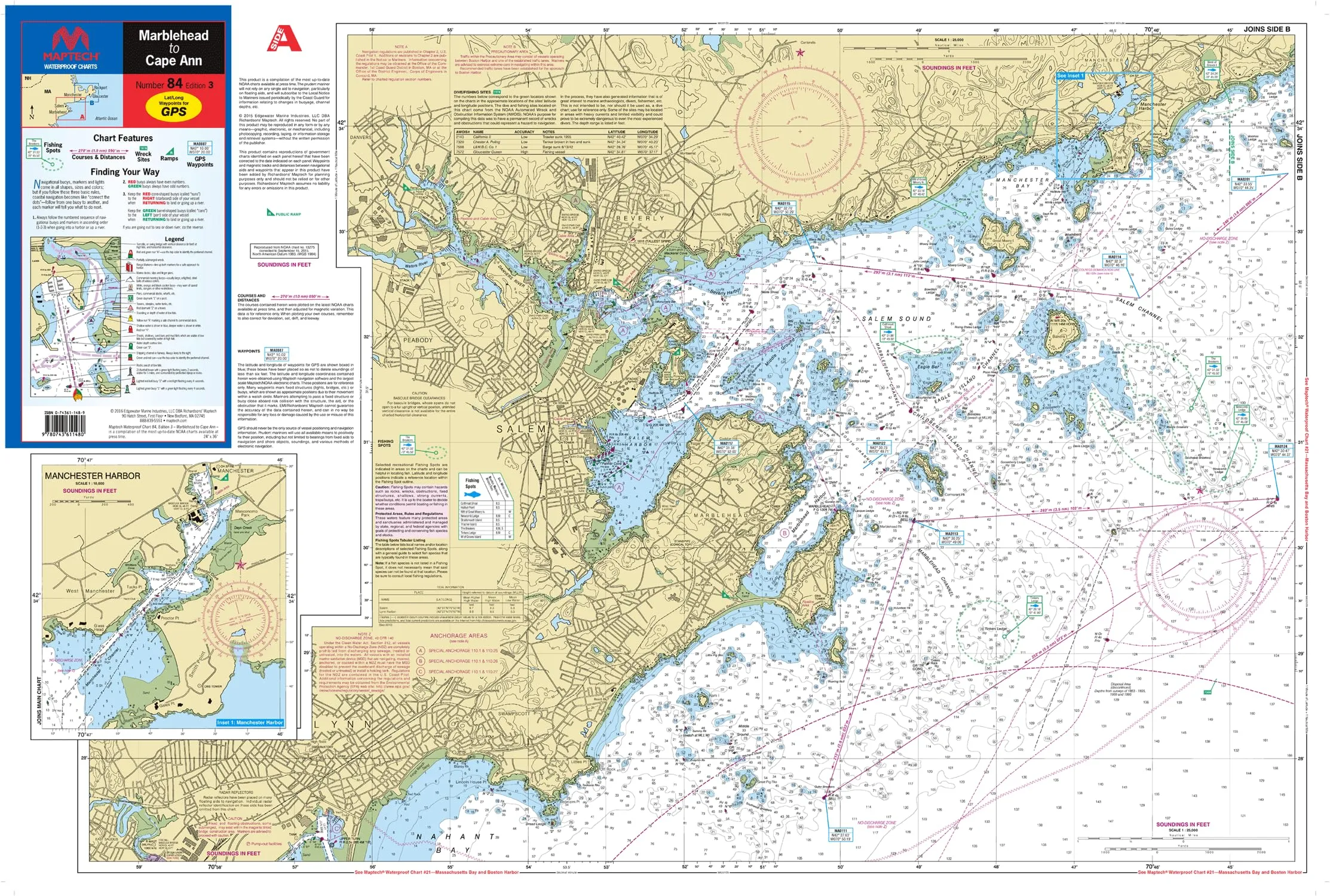
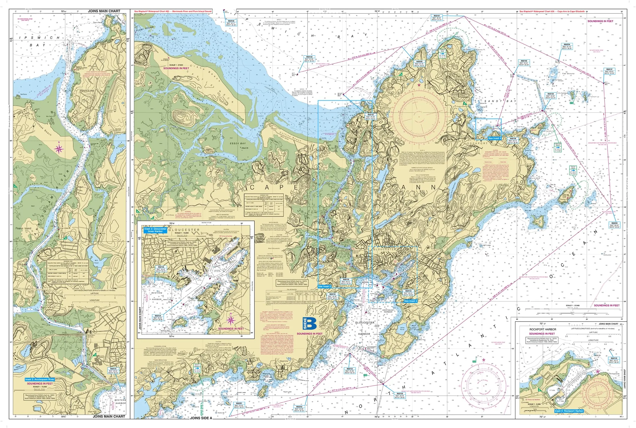
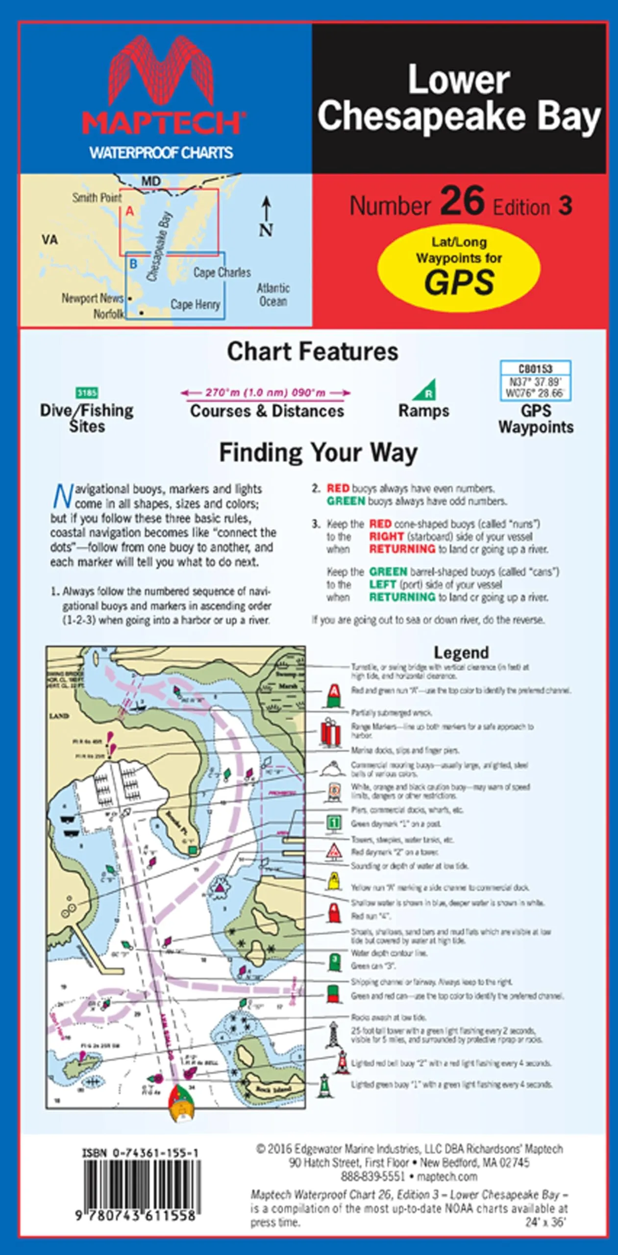
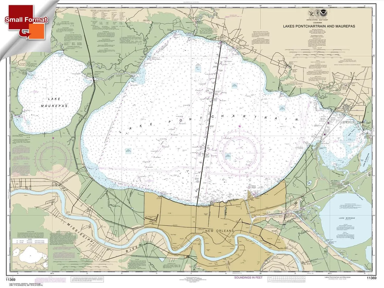
The MAPTECH Waterproof Chart WPC084-03 serves as an indispensable navigational tool for anyone venturing into the stunning waters from Marblehead to Cape Ann. This chart is meticulously designed to provide an extensive and detailed overview of a region that includes notable locations such as Marblehead, Salem, Beverly, Gloucester, and Essex. Whether you’re a seasoned mariner or a casual boater, this chart ensures you have a reliable reference at hand.
One of the standout features of this chart is its high-quality construction. Printed on durable, waterproof synthetic paper, it is engineered to endure the challenging marine environment, making it a trustworthy companion for every boating adventure. You can navigate with confidence, knowing that the information remains intact and legible even in wet conditions.
In terms of navigational aids, the MAPTECH Waterproof Chart excels with its comprehensive inclusion of GPS waypoints, courses, and distances. It not only marks ramp locations and state parks, but also highlights notable fishing areas. This wealth of information helps you plan your routes effectively and ensures that you never miss out on prime fishing spots.
The chart boasts large scale representations of 1:25,000 and 1:26,666, which means you’ll have a clear and detailed view of the area. With insets providing additional context, you can be sure that your navigation is precise and informed. The scale makes it easier to gauge distances and understand the geography of the waters you are exploring.
Convenience is also a key aspect of the MAPTECH Waterproof Chart. This chart features a unique flip-fold format that allows for effortless handling and storage. When fully opened, it measures an impressive 24 inches by 36 inches (approximately 60.96 cm by 91.44 cm), providing ample space for detailed navigation. Once you’re finished using it, it conveniently folds down to a compact size of 6 inches by 12 inches (about 15.24 cm by 30.48 cm), making it easy to stow away in your boat or gear bag.
| Feature | Details |
| Coverage Area | Marblehead, Salem, Beverly, Gloucester, Cape Ann, Essex |
| Material | Waterproof synthetic paper |
| Scale | 1:25,000 & 1:26,666 |
| Dimensions (Open) | 24′ x 36′ (60.96 cm x 91.44 cm) |
| Dimensions (Folded) | 6′ x 12′ (15.24 cm x 30.48 cm) |
In conclusion, the MAPTECH Waterproof Chart WPC084-03 combines high-quality materials with user-friendly features, making it an essential tool for navigation in the beautiful waters between Marblehead and Cape Ann. Its detailed coverage, practical design, and reliable information ensure that your boating experiences are safe, enjoyable, and filled with memorable adventures.


Reviews
There are no reviews yet.