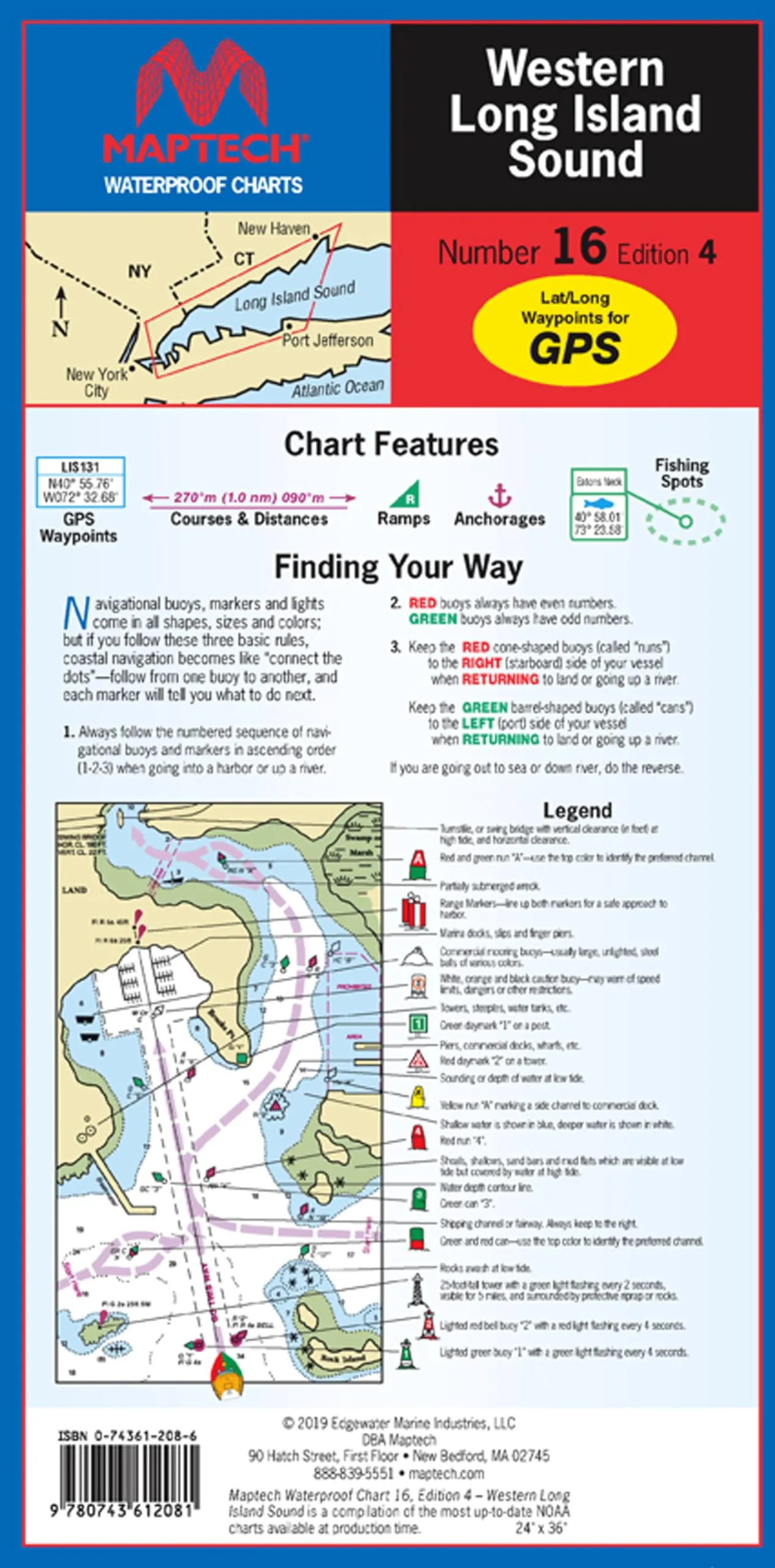
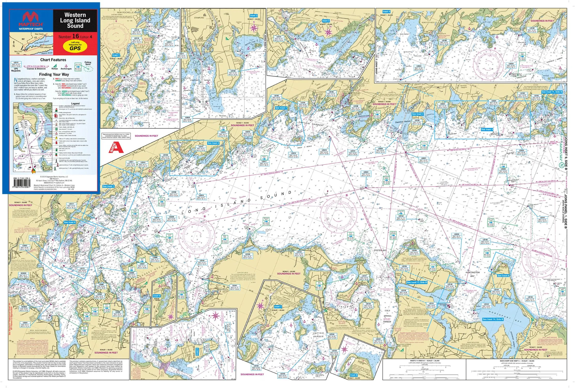
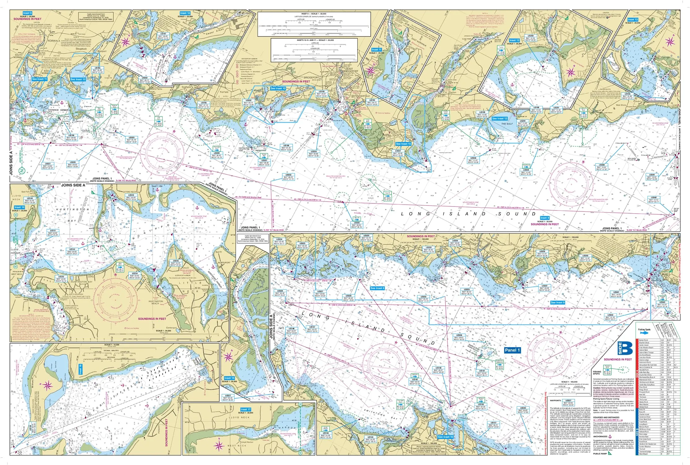
Discover the ultimate tool for navigation with the MAPTECH Waterproof Chart WPC016-04. This detailed chart is specifically designed to cover the breathtaking Western Long Island Sound, stretching from Throgs Neck, NY, to Port Jefferson, NY, and including New Haven, CT. Whether you are a seasoned mariner or a recreational boater, this chart provides essential information for safe and enjoyable exploration.
One of the standout features of this chart is its waterproof quality. Constructed from high-quality synthetic paper, it ensures durability and protection against water damage. This means you can confidently use it in various weather conditions without worrying about wear and tear. The waterproof design allows you to focus on your journey instead of the chart’s condition.
With a large scale of 1:50,000, the map offers comprehensive coverage, making it easy to navigate the waters. The size of the chart measures 24′ x 36′ when open, providing ample space to visualize your route. When folded, it conveniently reduces to 6′ x 12′, making it easy to store and carry. This flip-fold design is user-friendly, allowing for quick access and ease of use when on the go.
| Feature | Description |
| Waterproof | High-quality synthetic paper protects against water damage. |
| Comprehensive Coverage | Covers Western Long Island Sound, including major locations. |
| Useful Information | Includes waypoints for major buoys, fish/dive sites, and ramp locations. |
| Large Scale | 1:50,000 scale provides clear and detailed mapping. |
| Convenient Format | Flip-fold design for easy storage and access. |
Inside the chart, you will find waypoints for major buoys, which are critical for navigation. Additionally, it highlights courses and distances, ensuring that you have all the necessary information at your fingertips. The chart also features fish and dive sites, making it an excellent resource for anglers and divers looking to explore the underwater landscape.
In conclusion, the MAPTECH Waterproof Chart WPC016-04 is an essential companion for anyone navigating the beautiful waters of Western Long Island Sound. Its waterproof design, comprehensive coverage, and user-friendly format make it a must-have for your boating adventures. Whether you’re planning a day of fishing, diving, or simply cruising the coastline, this chart ensures you have the best navigation tools at your disposal.


Reviews
There are no reviews yet.