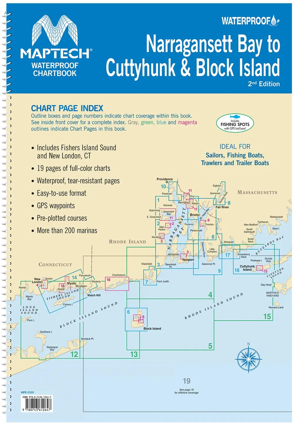
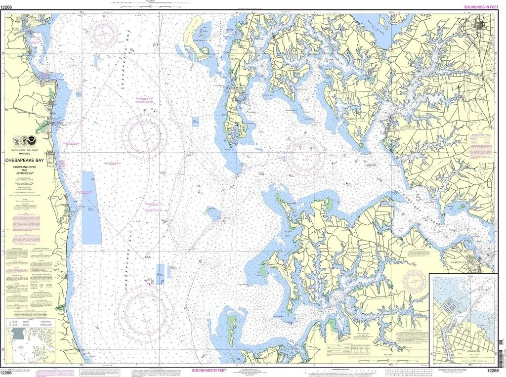
The MAPTECH Waterproof Chartbook WPB0320-02 is an essential navigation tool designed for boating enthusiasts exploring the waters from Narragansett Bay to Cuttyhunk. This comprehensive chartbook, now in its 2nd Edition, is created with durability and usability in mind, featuring 19 full-color charts printed on waterproof and tear-resistant plastic pages. This ensures that your charts stay intact and readable, even in the challenging conditions often encountered on the water.
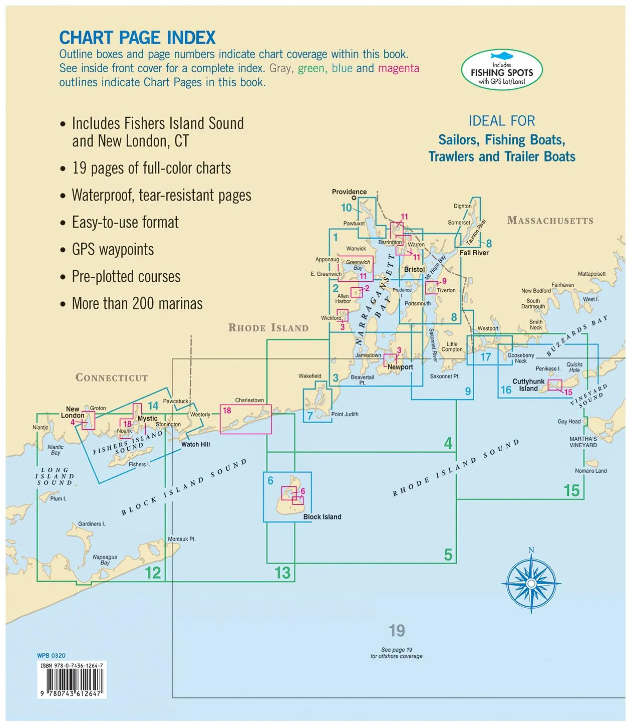
Covering a broad area that includes Fisher Island Sound and New London, CT, this chartbook is perfect for both seasoned mariners and casual weekend anglers looking to navigate these beautiful coastal waters with ease. The spiral-bound design allows for quick access to charts, making it user-friendly on the go. The dimensions of 12” x 17” (30.5 cm x 43.2 cm) provide an ideal size for reference on any fishing boat, day-sailer, trawler, or trailer boat.
| Feature | Description |
| Waterproof and Tear-Resistant | Durable plastic pages that withstand adverse weather conditions. |
| Comprehensive Coverage | Covers Narragansett Bay to Cuttyhunk, including Fisher Island Sound. |
| GPS Waypoints | Easy navigation with pre-plotted courses and over 200 marinas. |
| Convenient Size | Spiral binding and 12′ X 17′ size for easy handling on boats. |
| Detailed Information | 19 chart pages provide essential details for safe boating. |
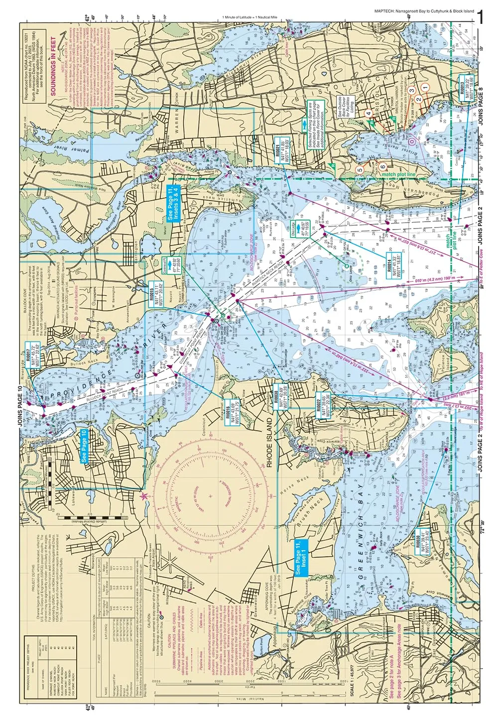
With the MAPTECH Waterproof Chartbook, you can have peace of mind knowing you are equipped with the best tools for safe and efficient navigation. Each chart page contains GPS waypoints and pre-plotted courses, allowing you to plan your trips with confidence. The chartbook also highlights more than 200 marinas, making it easier to find docking and services along your route.
This product is tailored for a variety of boating activities, whether you’re fishing, day sailing, or just enjoying a leisurely cruise. Its robust design ensures that it can withstand the rigors of marine life, providing you with reliable information whenever you need it. So, whether you’re a newcomer to the waters or a seasoned sailor, the MAPTECH Waterproof Chartbook WPB0320-02 is your trusty companion for navigating the stunning coastal environments.
In summary, if you are looking for a reliable, user-friendly, and durable chartbook to enhance your boating experience, the MAPTECH Waterproof Chartbook is your go-to solution. Don’t miss the opportunity to explore the beautiful waters of Narragansett Bay and beyond with confidence!


Reviews
There are no reviews yet.