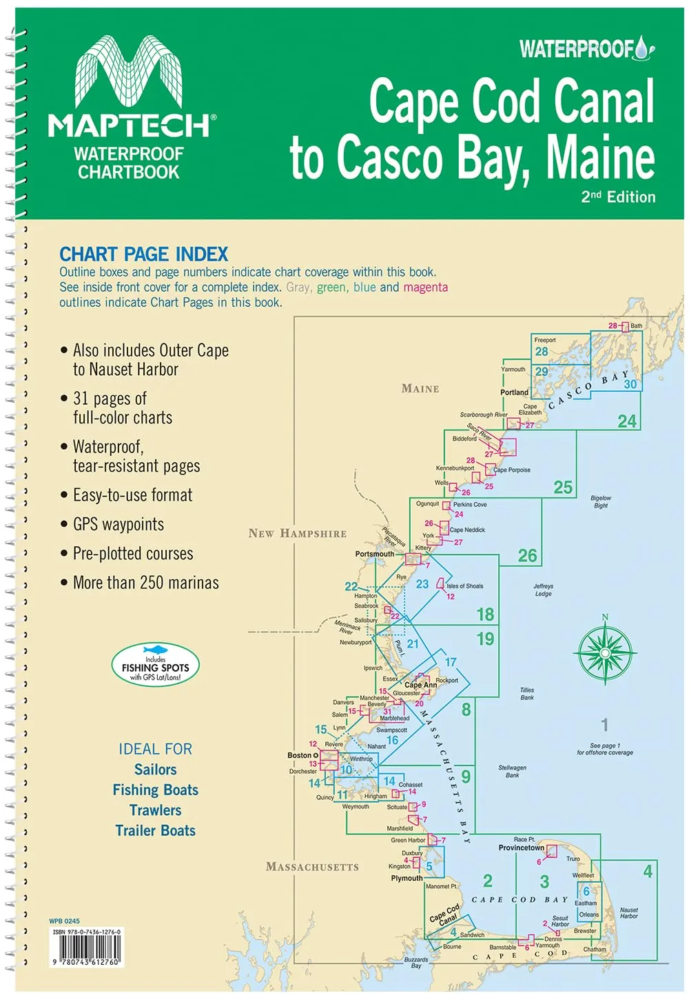
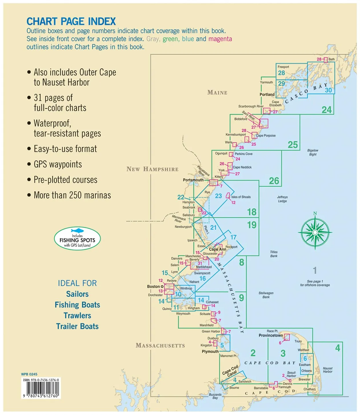
The MAPTECH Waterproof Chartbook WPB0245-02 is an essential navigational tool designed specifically for boaters venturing into the stunning waters of Cape Cod Canal to Casco Bay, Maine. This chartbook provides comprehensive coverage of the region, including the Outer Cape to Nauset Harbor, ensuring you have reliable information at your fingertips.
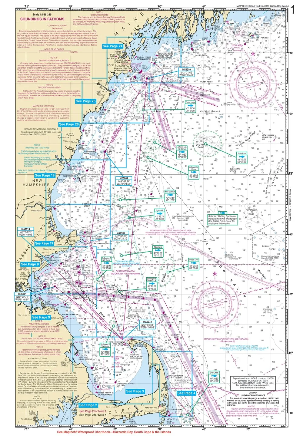
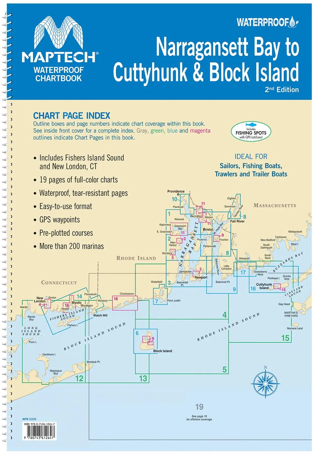
Featuring 31 full-color chart pages, each made from waterproof and tear-resistant materials, this chartbook is built for durability. Whether you’re navigating calm bays or more challenging waters, you can trust the detailed charts to guide you safely. The easy-to-use format includes GPS waypoints, pre-plotted courses, and over 250 marinas, allowing for effortless navigation.
Measuring approximately 11 x 15 inches (28 x 38 cm), this chartbook strikes the perfect balance between portability and comprehensive coverage. Its compact design makes it easy to handle while still providing the detailed information you need for safe and enjoyable voyages.
| Feature | Description |
| Waterproof Design | Tear-resistant pages ensure durability and longevity. |
| Comprehensive Coverage | Covers key areas including the Outer Cape and Nauset Harbor. |
| Convenient Format | Includes pre-plotted courses and GPS waypoints for efficient navigation. |
| Trusted Brand | Produced by MAPTECH, known for high-quality marine navigation products. |
The MAPTECH Waterproof Chartbook WPB0245-02 is not just a collection of charts; it is a comprehensive guide that helps ensure your safety while exploring the waters. With its reliable charts, you can easily navigate to your desired destination and discover new, beautiful locations along the way.
In summary, if you’re looking for a dependable and user-friendly navigational aid for your boating adventures in Maine, the MAPTECH Waterproof Chartbook is the perfect choice. With its robust features and detailed presentation, you’ll find confidence in your navigation on the water.


Reviews
There are no reviews yet.