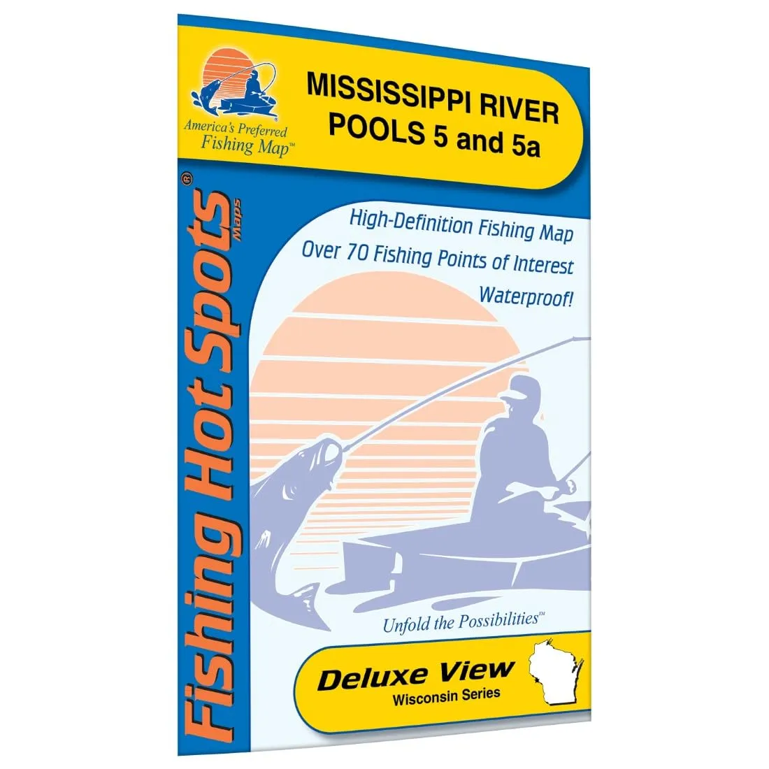
Discover the ultimate fishing experience with the Mississippi River-Pool 5 and 5a Fishing Map. Covering a vast area, Pool 5 spans approximately 7,300 acres, starting from Lock and Dam 4 to Lock and Dam 5, extending for 14.7 miles. At an elevation of around 661.0 feet above mean sea level (MSL), this section of the river offers a dynamic fishing environment, as the size and depths can vary significantly with changing water levels. Pool 5a, on the other hand, encompasses 6,140 acres, commencing at Lock and Dam 5 and concluding at Lock and Dam 5a, with a length of 9.6 miles and an elevation of roughly 651 feet above MSL.
This fishing map is designed for avid anglers seeking to enhance their fishing experience. It provides valuable information about featured species in the area, which include Largemouth Bass, Smallmouth Bass, Northern Pike, Walleye, Sauger, Black Crappie, Bluegill, and Channel Catfish. By focusing on these species, anglers can target their efforts more effectively and increase their chances of a successful fishing trip.
| Featured Species | Largemouth Bass, Smallmouth Bass, Northern Pike, Walleye, Sauger, Black Crappie, Bluegill, Channel Catfish |
| Map Features | Lake Profile, Fishery Information, Fishing Tips and Techniques, Accesses with Driving Directions, Over 70 Fishing Points of Interest |
The map’s features are designed to assist fishermen of all skill levels. It includes a detailed lake profile that outlines the topography and aquatic conditions of the water bodies within Pools 5 and 5a. Additionally, anglers will find comprehensive fishery information which highlights the best practices and techniques for catching various species present in these waters.
One of the standout features of this fishing map is the inclusion of over 70 fishing points of interest. Each point is carefully marked, making it easy for anglers to discover prime fishing spots. Whether you are a seasoned pro or a beginner, these points provide numerous options for exploring and fishing different areas of the river.
To further enhance your fishing adventure, the map provides access details along with driving directions. This means you can quickly locate the best spots without the hassle of searching. The driving directions are straightforward, ensuring you can spend more time fishing and less time navigating.
In summary, the Mississippi River-Pool 5 and 5a Fishing Map is an essential tool for any angler looking to make the most of their fishing trips. With accurate and detailed information, this map empowers you to fish smarter and more effectively. Whether you are seeking to catch Largemouth Bass or Channel Catfish, this map has you covered with all the vital details you need for a successful outing.


Reviews
There are no reviews yet.