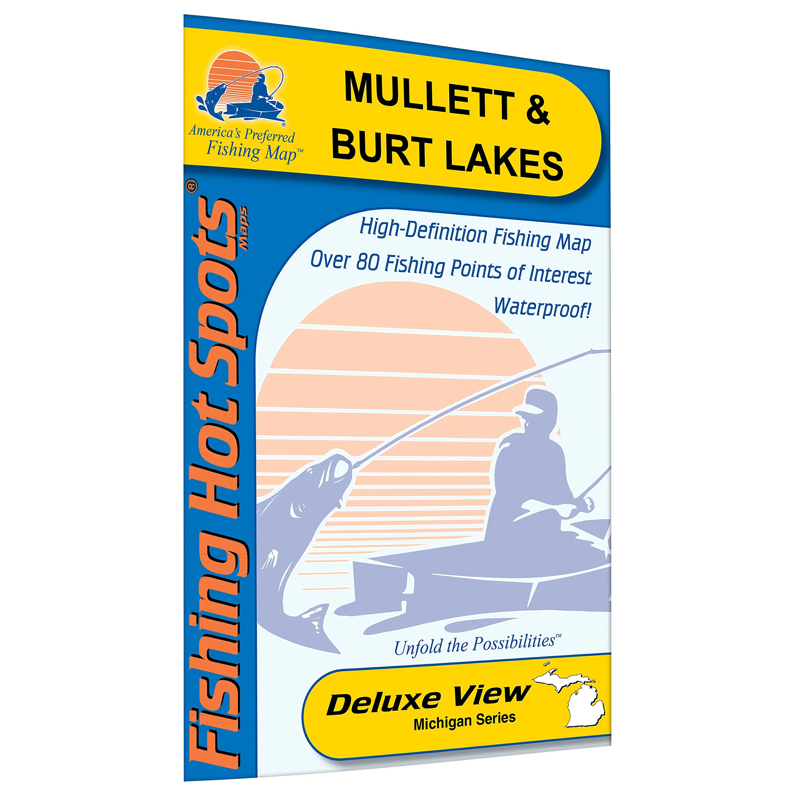
Discover the beauty and adventure of Mullett and Burt Lakes with our expertly crafted fishing map. This map is not just any ordinary map; it is designed specifically for anglers and boating enthusiasts looking to navigate the stunning ‘Inland Waterway.’ Stretching over 40 miles, this navigable system encompasses lakes and rivers flowing from Crooked Lake to Lake Huron.
The Mullett & Burt Lakes Fishing Map is a reliable guide maintained by the U.S. Army Corps of Engineers. It features essential information for safe navigation, including the minimum depth of 5 feet and a width of 30 feet for the boating channel. As you journey through this picturesque area, you’ll find that buoys mark a safe channel through Cheboygan, Indian, and Crooked rivers, making your boating experience enjoyable and secure.
As you venture upstream, remember to keep the red channel markers on your right, and while going downstream, the black channel markers should be on your right. This simple rule ensures safe passage through the waterways. Along the entirety of the route, you will discover numerous restaurants, motels, marinas, and stores, providing ample opportunities for rest and refreshment during your fishing trips.
The Coast Guard Cutter ‘Mackinaw,’ stationed in Cheboygan, Michigan, adds a touch of maritime tradition to your explorations. This map is not just a tool; it is your gateway to experiencing the rich aquatic life and scenic beauty that Mullett and Burt Lakes have to offer.
Constructed from durable, waterproof material, this fishing map is designed to withstand the elements. Whether you’re out on the water or planning your next fishing trip, the map’s shaded depth areas, expertly researched content, and color-coded features ensure that you have all the information at your fingertips. Key fishing areas have been marked clearly, along with convenient boat access points, making it easier for you to plan your fishing adventures.
In summary, the Mullett & Burt Lakes Fishing Map is an essential companion for anyone looking to explore these beautiful lakes. It combines durability, clarity, and expert research into one comprehensive package, ensuring that your fishing experience is both successful and enjoyable. Whether you are a seasoned angler or a newcomer to the sport, this map is sure to enhance your time spent on the water.
| Features | Details |
| Durable, Waterproof Material | Resistant to water damage for long-lasting use. |
| Shaded Depth Areas | Easy to identify depth variations for safe navigation. |
| Color-Coded Fishing Areas | Marked spots for optimal fishing locations. |
| Boat Access Points | Clearly marked for convenient access to the lakes. |


Reviews
There are no reviews yet.