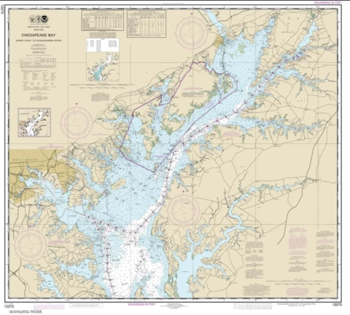
Introducing the NOAA Chart 11317, a detailed nautical chart covering Matagorda Bay, including Lavaca and Tres Palacios Bays, as well as Port Lavaca. This chart serves as a continuation of the Lavaca River and Tres Palacios Bay, allowing mariners to navigate these waters with confidence.
Printed by East View Geospatial, this chart is produced on PaperTyger, a lightweight yet durable paper known for its tear and water resistance. While it is important to note that this paper is not fully waterproof, it exceeds the durability of standard paper, making it a practical choice for maritime adventures.
The scale of the chart is 1:50,000, providing an accurate representation of the nautical features in the area. With dimensions of 92 x 124 inches, this chart is large enough to provide comprehensive coverage of the waterways.
It’s essential to mention that NOAA-OCS cancelled Raster and PDF chart 11317—Edition #33—on October 5, 2022. As a result, this product does not meet the U.S. and international carriage requirements for commercial vessels as defined in SOLAS Chapter V Regulation 19.2.1. Therefore, it is crucial for users to be aware of these specifications when considering the chart for navigation purposes.
All NOAA nautical charts, including this one, are shipped rolled to ensure they arrive in excellent condition. The pre-production finishing enhances the quality of the chart, making it a preferred choice for both amateur and professional mariners.
| Feature | Details |
| Chart Title | NOAA Chart 11317 – Matagorda Bay |
| Dimensions | 92 x 124 inches |
| Scale | 1:50,000 |
| Material | PaperTyger – Water-resistant, tear-resistant |
| Printed by | East View Geospatial |
| Cancellation Notice | NOAA-OCS cancelled Edition #33 on October 5, 2022 |
This NOAA Chart 11317 serves as an invaluable tool for anyone navigating the intricate waterways of Matagorda Bay. The combination of its robust material, large size, and detailed scale makes it an essential addition to your nautical resources.


Reviews
There are no reviews yet.