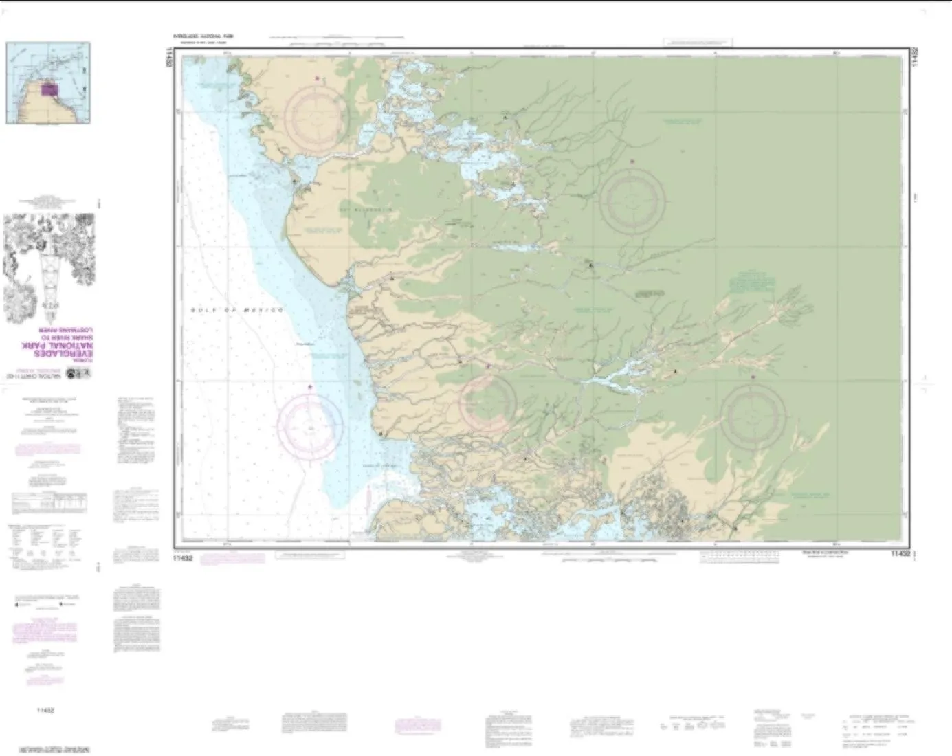
Discover the beauty and complexity of the Everglades National Park through the NOAA Chart 11432, specifically designed for adventurers and navigators alike. This chart covers the Shark River to Lostmans River area, providing essential details for those who wish to explore this unique ecosystem. Printed by East View Geospatial, this chart is a certified NOAA and NGA print on demand product, ensuring the highest quality and accuracy.
The chart, Edition #15, was released on January 4, 2023, and it features a detailed map scale of 1:50,000. With dimensions of 104 x 131 inches, it is designed to be both functional and user-friendly. The map is printed on PaperTyger, a remarkable material known for its lightweight, tear-resistant, and water-resistant properties. This unique paper provides a smooth matte finish, which is not only pleasant to the touch but also enhances readability.
It is important to note that this product will not meet U.S. and international carriage requirements for commercial vessels as defined in SOLAS Chapter V Regulation 19.2.1. Therefore, while this chart is perfect for personal or recreational use, it is not intended for commercial navigation.
For those who value the intricacies of nautical navigation, this chart serves as an invaluable resource. Its high-resolution images ensure that every detail is captured accurately, allowing users to rely on it for their exploration needs. The pre-production finishing employed by East View Geospatial guarantees superior quality, making this chart not just a tool, but a durable companion for your adventures.
| Feature | Details |
|---|---|
| Chart Name | NOAA Chart 11432 |
| Region | Everglades National Park |
| Print Quality | High Resolution |
| Material | PaperTyger (Water-Resistant) |
| Map Scale | 1:50,000 |
| Map Size | 104 x 131 inches |
| Edition | #15 (Released Jan 4, 2023) |
In conclusion, the NOAA Chart 11432 for Everglades National Park is an essential tool for anyone looking to explore the Shark River to Lostmans River area. With its durable, water-resistant design, high-quality printing, and detailed scale, it stands out as a reliable resource for both personal and educational use. Whether you’re a seasoned navigator or a curious explorer, this chart will enhance your experience of one of America’s most treasured natural parks.

Reviews
There are no reviews yet.