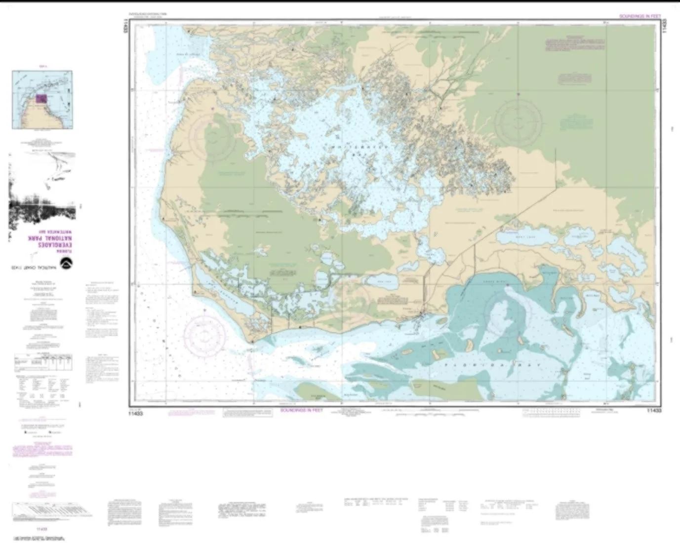
Discover the breathtaking beauty of Everglades National Park with the NOAA Chart 11433, featuring Whitewater Bay. This exceptional nautical chart is meticulously printed by East View Geospatial, a certified NOAA and NGA print-on-demand printer, ensuring high-resolution images that deliver clarity and detail.
Printed on innovative PaperTyger, the chart offers a lightweight, tear-resistant, and water-resistant solution. Its smooth matte finish not only enhances durability but also provides a premium feel, making it an ideal companion for outdoor adventures. With a scale of 1:50,000, this map allows for precise navigation through the stunning waterways of the Everglades.
Measuring 104 x 130 inches, the chart is designed for easy readability and functionality. However, it’s important to note that NOAA-OCS cancelled Raster and PDF chart 11433 – Everglades National Park Whitewater Bay Edition #14 on January 4, 2023. As a result, this product does not meet U.S. and international carriage requirements for commercial vessels as defined in SOLAS Chapter V Regulation 19.2.1.
The chart’s pre-production finishing ensures superior quality, making it a reliable tool for both recreational and professional navigators. Whether you’re planning a kayaking trip, fishing expedition, or simply exploring the unique ecosystems of the Everglades, this chart is your essential guide.
| Map Features | Specifications |
| Water-resistant material | Scale: 1:50,000 |
| Tear-resistant | Size: 104 x 130 inches |
| Printed by East View Geospatial | High-resolution images |
In conclusion, the NOAA Chart 11433 is not just a map; it’s a gateway to exploring the majestic Everglades. Immerse yourself in the lush landscapes and diverse wildlife while ensuring you have the best navigational tools at your disposal. Equip yourself with this durable, high-quality chart and embark on your next adventure with confidence!


Reviews
There are no reviews yet.