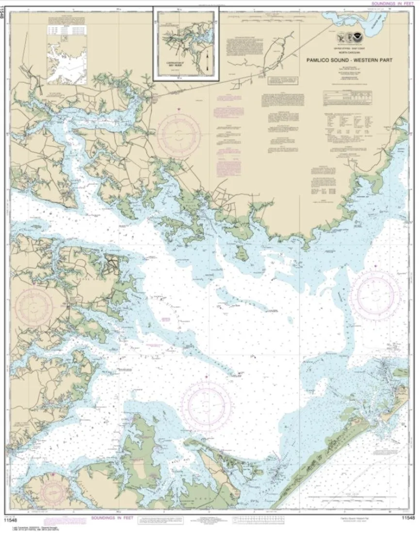
Introducing the NOAA Chart 11548, specifically designed for the Pamlico Sound Western Part. This nautical chart is an essential tool for any mariner navigating these waters. Printed by East View Geospatial, it is crafted to meet the high standards required for reliable navigation, ensuring you have the most accurate information available.
The map is printed on PaperTyger, a revolutionary material that combines durability with a smooth matte finish. This lightweight, tear-resistant, and water-resistant paper is perfect for the marine environment, where weather conditions can change rapidly. Whether you are planning a leisurely cruise or a serious fishing expedition, this chart will stand up to the rigors of the sea.
With a detailed map scale of 1:80,000, it provides a comprehensive view of the waters, allowing you to make informed decisions while navigating. The chart measures an impressive 112 x 89 inches, making it easy to read and understand, even from a distance.
It is important to note that NOAA-OCS has canceled Raster and PDF chart 11548, Edition #43, as of August 31, 2022. Therefore, this product will not meet the U.S. and international carriage requirements for commercial vessels as defined in SOLAS Chapter V Regulation 19.2.1. This cancellation underscores the necessity for mariners to utilize updated and verified charts for navigation to ensure safety at sea.
East View Geospatial is recognized as a certified NOAA and NGA print-on-demand printer, which means you can trust the quality and accuracy of the charts they produce. Each nautical chart is printed using high-resolution images, ensuring that every detail is clear and easy to interpret.
| Feature | Details |
| Material | PaperTyger (water-resistant, tear-resistant) |
| Map Scale | 1:80,000 |
| Map Size | 112 x 89 inches |
| Printed By | East View Geospatial |
This chart is an exceptional resource for anyone who takes to the waters of the Pamlico Sound. Its robust construction ensures it will endure the elements, while its detailed scale provides the navigational precision you require. Equip yourself with the NOAA Chart 11548 for a safe and enjoyable journey on the water.


Reviews
There are no reviews yet.