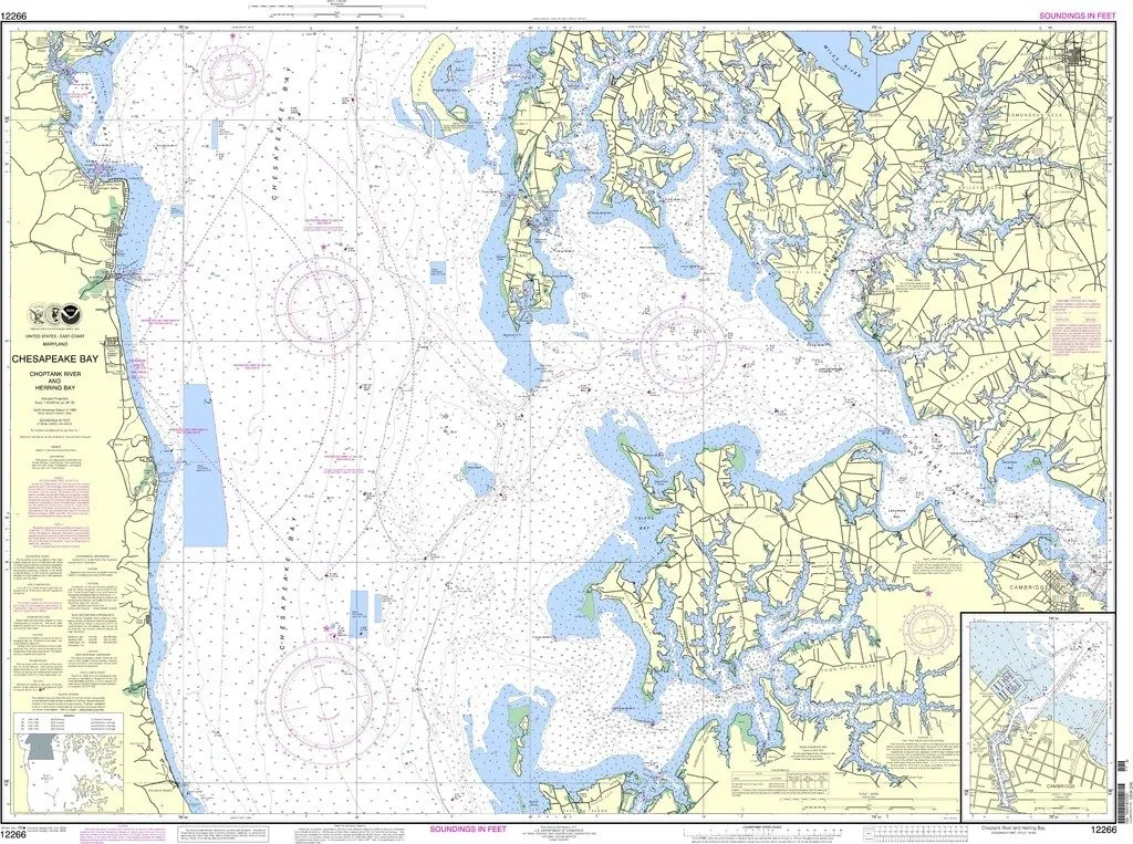
Introducing the NOAA Chart 12266, a meticulously crafted nautical chart designed for both commercial and recreational mariners navigating the stunning Chesapeake Bay, Choptank River, and Herring Bay areas. This chart is brought to you by OceanGrafix, a trusted name in maritime navigation. With the collaboration of the National Oceanic and Atmospheric Administration (NOAA), OceanGrafix ensures that mariners have access to the most current and reliable nautical charts available.
One of the key features of this chart is its ‘on-demand’ printing capability. This means that each chart is printed only when ordered, ensuring that you receive the most up-to-date information available at the time of your purchase. Furthermore, all Notice to Mariners (NTM) corrections are applied to the chart during the printing process, providing an additional layer of accuracy and reliability for your navigation needs.
NOAA Chart 12266 is not just about accuracy; it also complies with important regulatory standards. It meets the requirements outlined in the International Convention for the Safety of Life at Sea (SOLAS) Chapter V, Regulation 19.2.1.240. This makes it suitable for use on commercial vessels, ensuring that you can navigate safely and confidently in busy waterways.
The chart features detailed representations of the Chesapeake Bay, Choptank River, and Herring Bay, capturing the essential navigational information you need. With clear demarcations of water depths, navigational aids, and potential hazards, this chart serves as an indispensable tool for any mariner.
| Key Features | Details |
| Latest NTM Updates | All corrections are applied at the time of printing. |
| Compliance | Meets U.S. and international carriage requirements. |
| Approval | U.S. Coast Guard approved. |
| Printing Method | Printed on demand for up-to-date accuracy. |
Whether you are a seasoned mariner or a novice navigating the waters, having an accurate and reliable nautical chart like NOAA Chart 12266 is essential for safe and effective navigation. With its detailed cartography and compliance with international regulations, you can trust this chart to guide you through the beautiful and intricate waterways of the Chesapeake Bay area.
Invest in your maritime journey with NOAA Chart 12266, and enjoy the peace of mind that comes with having the best navigational tools at your disposal. Navigate confidently and explore the wonders of the Chesapeake Bay, all while being assured that you are using a chart that meets the highest standards of accuracy and reliability.


Reviews
There are no reviews yet.