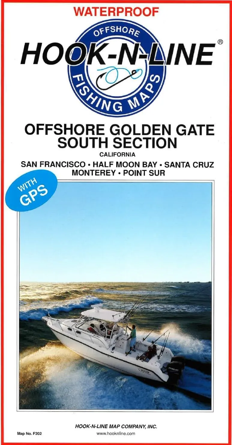
Introducing the Offshore Golden Gate – South Section Fishing Map by Hook-N-Line Map Company, Inc. This essential guide is designed for avid anglers looking to enhance their fishing experiences along the stunning Pacific coastline. Specifically, this map covers a vast area from Point Sur in the south to Point Reyes in the north, providing comprehensive insights into the offshore waters.
One of the standout features of this two-sided map is its detailed portrayal of latitude and longitude lines, which are crucial for navigation. The map also includes depth contours that allow fishermen to identify the underwater landscape and find the best fishing spots. Additionally, it marks important features such as islands, sea mounts, and underwater canyons, making it easy for anglers to plan their trips effectively.
On the reverse side, the Offshore Golden Gate – South Section Fishing Map offers a wealth of information about specific fishing locations. Each listed spot comes with GPS coordinates, which are vital for accurately finding your way to prime fishing areas. Furthermore, the map details the water depths at these locations, allowing fishermen to select the perfect spots based on their target species and fishing techniques.
| Features | Details |
| Coverage Area | Point Sur to Point Reyes |
| Map Type | Two-Sided Saltwater Fishing Map |
| Navigation Aids | Latitude-Longitude Lines, Depth Contours |
| Special Features | Islands, Sea Mounts, Underwater Canyons |
| Reverse Side Information | GPS Coordinates, Water Depths, Fish Species |
With the Offshore Golden Gate – South Section Fishing Map, you will have all the necessary tools to make your fishing trips successful and enjoyable. Understanding where the fish are biting at different times of the year can improve your chances of a great catch. The detailed listings of fish species caught provide valuable insights into the local fishing conditions and trends. This map is a must-have for both novice and experienced fishermen alike.
In conclusion, the Offshore Golden Gate – South Section Fishing Map by Hook-N-Line Map Company, Inc. is an indispensable resource for anyone looking to fish in the Pacific Ocean. Its detailed layout, GPS features, and comprehensive fishing location information make it a reliable companion for your adventures on the water. Whether you’re planning a weekend trip or a longer expedition, this map will guide you to the best fishing spots and help you make the most of your time on the ocean.

Reviews
There are no reviews yet.