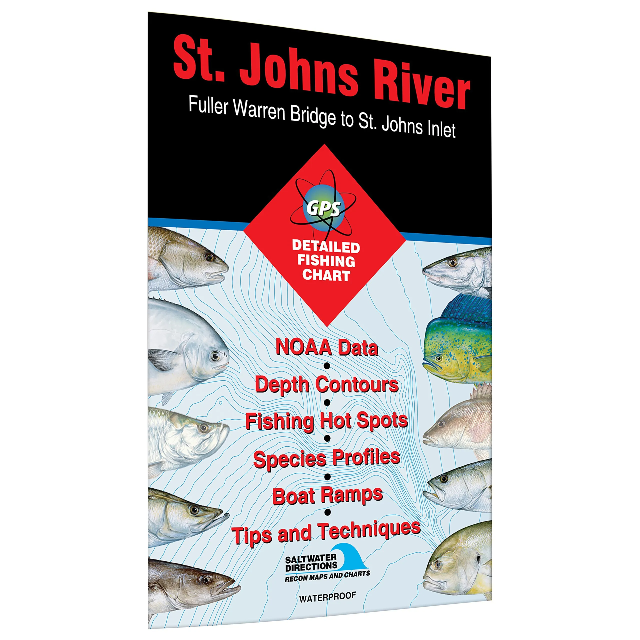
Discover the beauty and adventure of fishing along the St. Johns River with our expertly crafted fishing map, designed specifically for anglers seeking the best fishing spots from the Fuller Warren Bridge to the St Johns Inlet. This extensive fishing map covers the longest river in the state of Florida, stretching an impressive 310 miles. Whether you are a seasoned angler or a beginner, this map is your ultimate guide to success on the water.
Our fishing map is not just a simple guide; it is a comprehensive resource that has been meticulously researched to ensure you have access to the best fishing experiences. It highlights the most productive fishing areas and makes it easy for you to locate boat access points. Notably rich in diverse fish species, the St. Johns River is home to an array of game fish. You can expect to catch red drum and spotted seatrout, which are among the most sought-after species in these waters. Additionally, you may find sheepshead, crevalle jack, Atlantic croaker, ladyfish, tarpon, southern flounder, and black drum readily available for the catch.
For those interested in freshwater fishing, the river’s tributaries offer a fantastic opportunity to target largemouth bass, catfish, and bream. The deeper holes in downtown Jacksonville are known for their population of striped bass, making them a prime location for anglers looking to reel in this exciting catch.
One of the standout features of our fishing map is its durability. Made from waterproof material, it is designed to withstand the elements, ensuring that it remains intact during your fishing trips. You can take it along on your boat or have it handy while fishing from the shore without worrying about damage from water or weather conditions.
In addition to the detailed fishing locations, the map is clearly marked for easy navigation. With highlighted fishing areas, you can quickly identify the best spots to cast your line. The boat access points are also clearly indicated, allowing you to plan your trip with confidence. Whether you are looking to enjoy a day of fishing with family or seeking solitude on the water, this map ensures that you have all the information you need at your fingertips.
In summary, the St. Johns River Fishing Map from Fuller Warren Bridge to St Johns Inlet is an essential tool for any fishing enthusiast. With its waterproof design, expert research, and clear markings of fishing areas and boat access, you are equipped to make the most of your fishing adventures. Experience the thrill of fishing in one of Florida’s most beautiful rivers and increase your chances of landing that big catch!
| Features | Benefits |
| Waterproof Material | Durable for all weather conditions |
| Marked Fishing Areas | Easy to find the best spots |
| Boat Access Clearly Marked | Convenient planning for your trips |
| Expert Research | Maximized fishing success |


Reviews
There are no reviews yet.