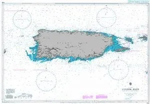
Puerto Rico Nautical Chart BA 3408 – UKHO Approved, Compliant with SOLAS Regulations, Latest Updates

$59.95
Explore the Puerto Rico BA 3408 nautical chart by UKHO. Compliant with SOLAS, it's perfect for safe navigation.

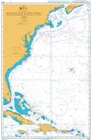
BA Chart 4403 South East Coast of North America, Bahamas & Greater Antilles – U.S. Coast Guard Approved

$59.95
Admiralty nautical chart BA 4403 features the South East Coast of North America and Bahama Islands, ensuring compliance with SOLAS regulations for safe navigation.

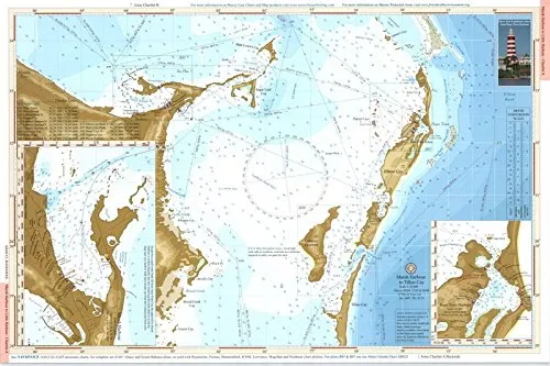
Heart of Abaco Navigation Chart 12’x 18′ – Waterproof, Detailed Chartlet for Boaters & Fishermen

$19.95
Discover the Heart of Abaco with this waterproof 12'x 18' navigation chart, featuring safe routes, moorings, and fishing regulations for unforgettable adventures.

The Bahamas Navigation Chart 24′ x 36′ – Detailed Routes, Waypoints & Port Plans for Safe Sailing

$42.95
Explore the Bahamas with this 24' x 36' navigation chart featuring over 100 waypoints and port plans. Perfect for route planning and weather tracking.

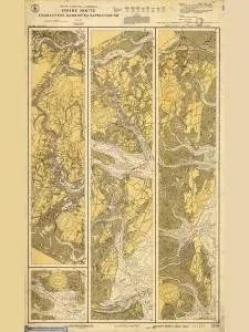
Historical Nautical Chart 3256-11-1929 SC, Inside Route Charleston Harbor to Sapelo Sound

$49.60
Explore the Historical Nautical Chart 3256-11-1929, showcasing Charleston Harbor to Sapelo Sound. Perfect for collectors and enthusiasts of maritime history.

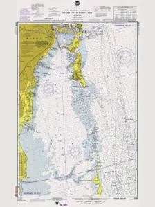
Historical Nautical Chart 11465-3-1975: Miami to Elliot Key – 1975 Edition

$49.60
Explore the Historical Nautical Chart 11465-3-1975, showcasing Miami to Elliot Key, perfect for collectors!

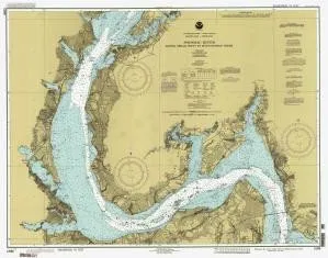
Historical Nautical Chart 12288-04-1993 Potomac River Lower Cedar Point 1933 by OceanGrafix

$52.95
Explore the Historical Nautical Chart 12288-04-1993 featuring the Potomac River, Lower Cedar Point from 1933.

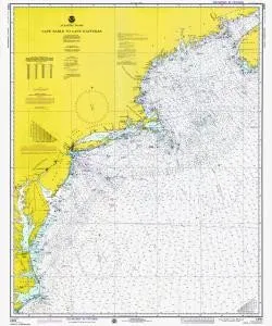
Historical Nautical Chart 13003LORANA-10-1975: MA, Cape Sable to Cape Hatteras, Year 1975

$49.60
Explore the Historical Nautical Chart 13003LORANA-10-1975, showcasing MA to Cape Hatteras, perfect for collectors.

Historical Nautical Chart LS819-05-1911 Manitowoc Harbor 1911 Edition for Collectors and Enthusiasts

$49.60
Explore the 1911 Historical Nautical Chart of Manitowoc Harbor, a non-navigational piece perfect for collectors.

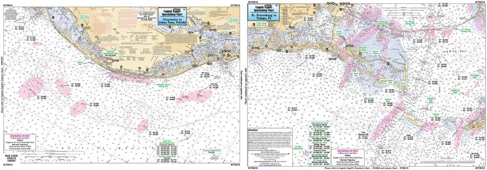
Clearwater to St. Petersburg Laminated Nautical Fishing Chart 12’x18′ by Captain Segull’s

$18.95
Discover inshore fishing with the Clearwater to St. Petersburg laminated chart. Perfect for small boats and kayaks, featuring detailed GPS fishing areas.

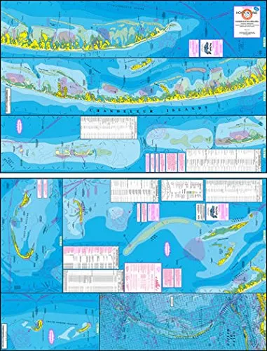
Chandeleur Islands Fishing Map with GPS – Hook N Line, Perfect for Wade Fishing Enthusiasts

$26.85
Explore the Chandeleur Islands with this detailed fishing map featuring GPS spots for redfish and trout.

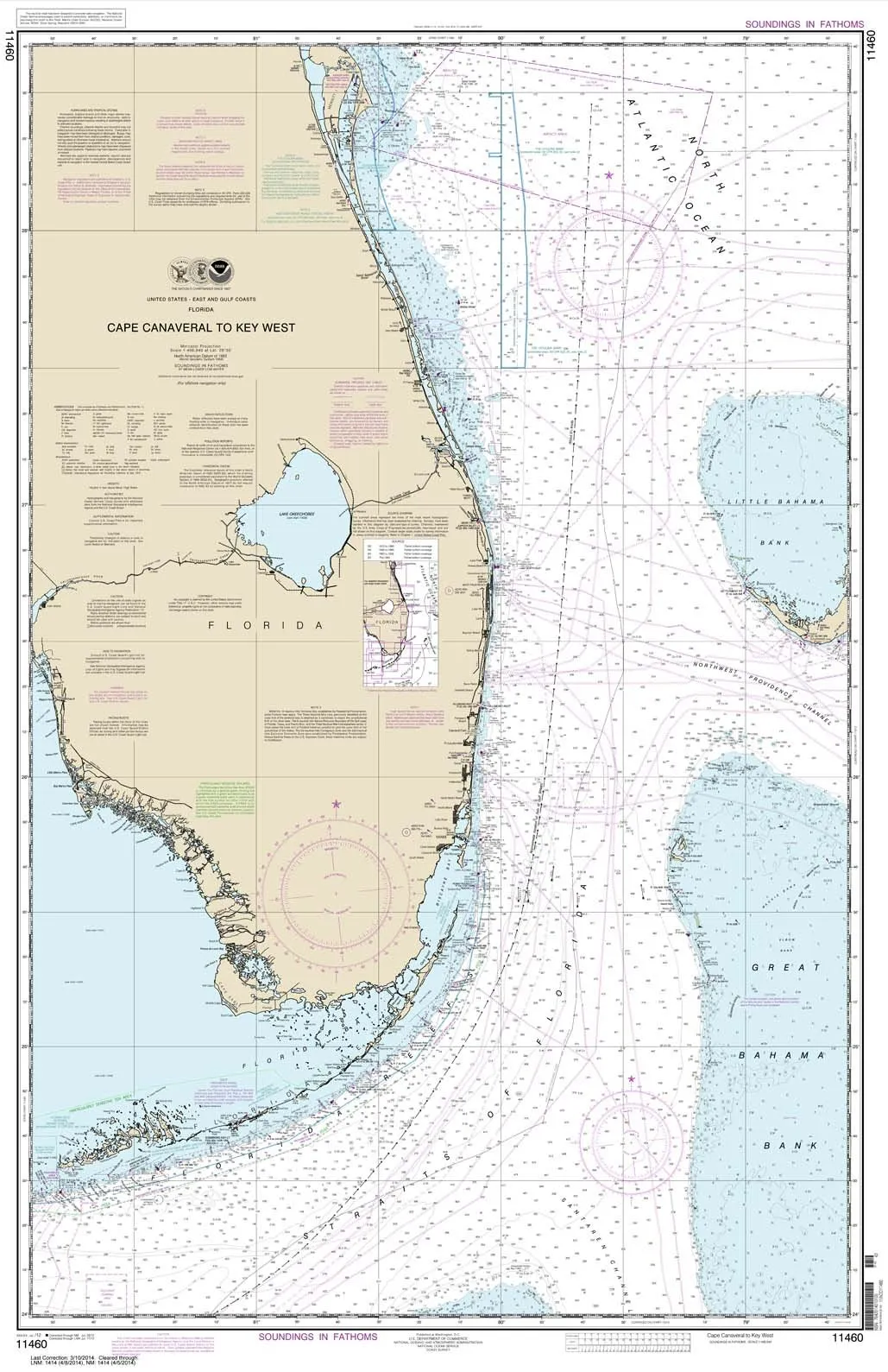
NOAA Chart 11460: Cape Canaveral to Key West – Water-Resistant Nautical Chart by Paradise Cay

$28.95
Explore the NOAA Chart 11460 for Cape Canaveral to Key West. Printed on water-resistant paper for durability.

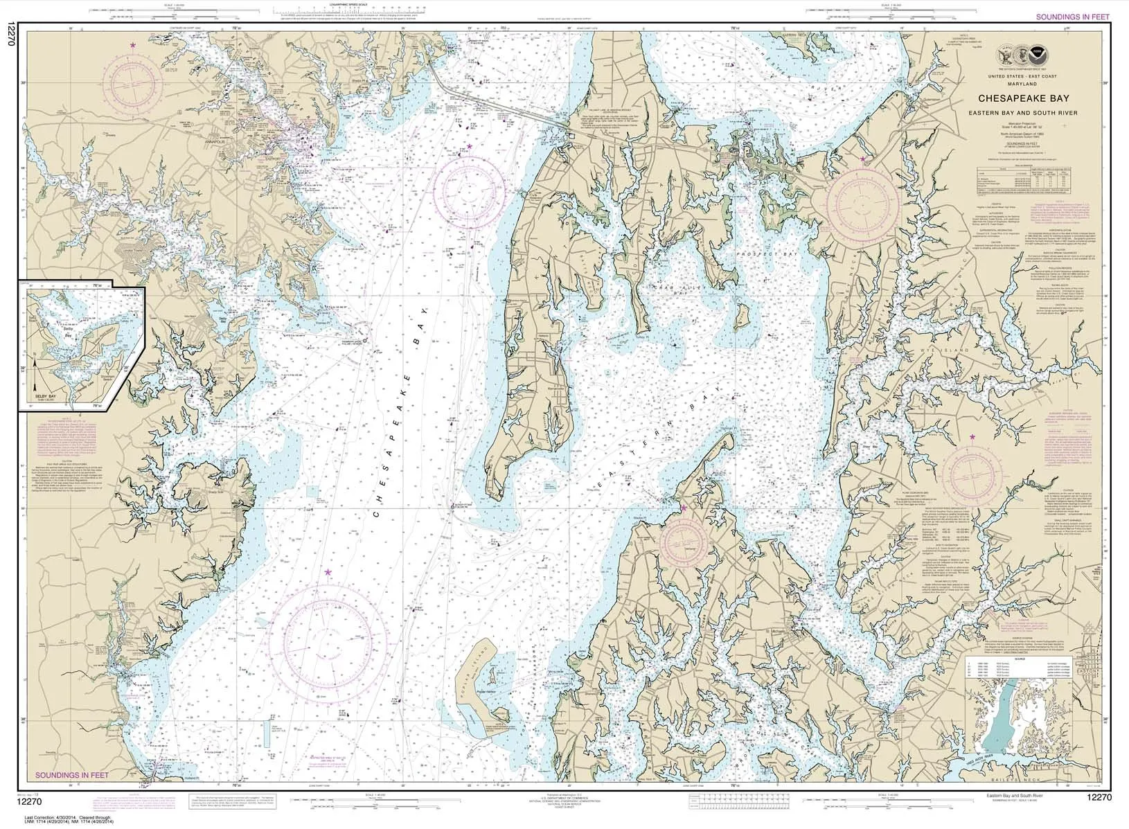
NOAA Chart 12270: Chesapeake Bay Eastern Bay & South River, 35.5’x48.4′, Water-Resistant Paper

$28.95
Discover the NOAA Chart 12270 for Chesapeake Bay. High-quality, water-resistant, certified for commercial use.

NOAA Chart 18649: Entrance to San Francisco Bay – 35.3 x 45, Water-Resistant, Display Quality

$28.95
Explore the NOAA Chart 18649, featuring the San Francisco Bay. Printed on water-resistant paper for durability.

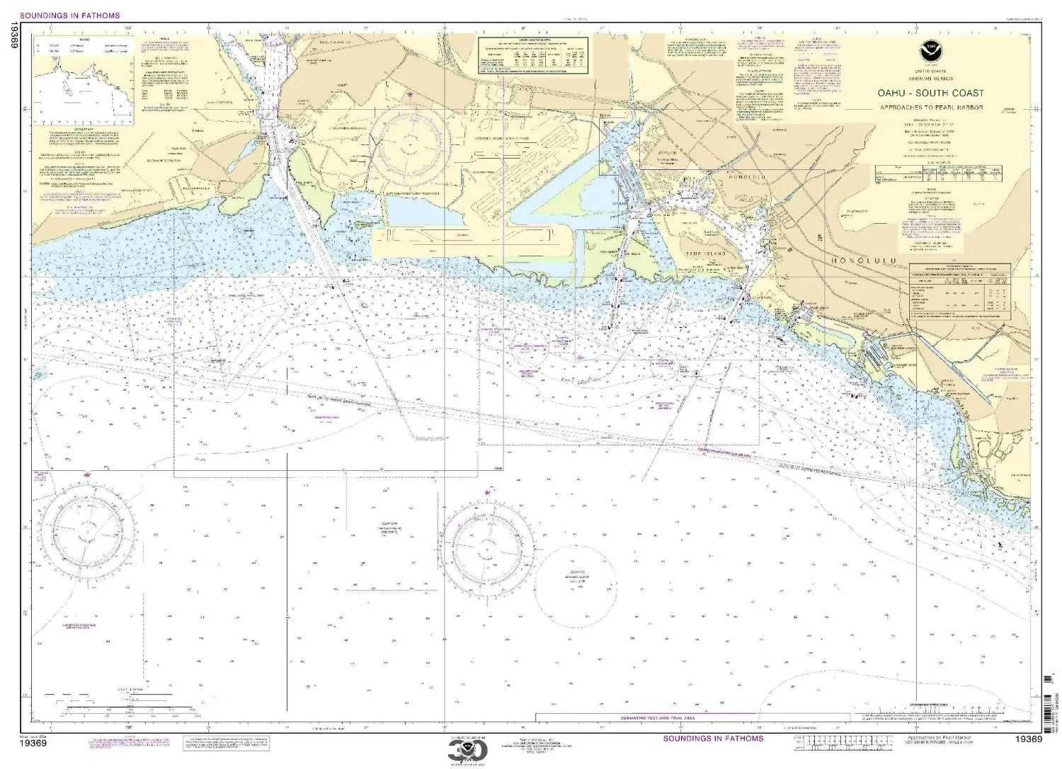
Paradise Cay NOAA Chart 19369 O’ahu South Coast Approaches to Pearl Harbor – Water-Resistant

$27.95
Explore the O'ahu South Coast with NOAA Chart 19369. Printed on durable, water-resistant paper for quality navigation.

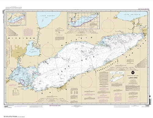
Lake Erie Nautical Chart 33’x42.6′ – NOAA Certified, Water-Resistant, Display Quality

$28.95
Discover the Lake Erie Nautical Chart, 33'x42.6', printed on water-resistant paper. NOAA certified for quality, perfect for navigation and display.

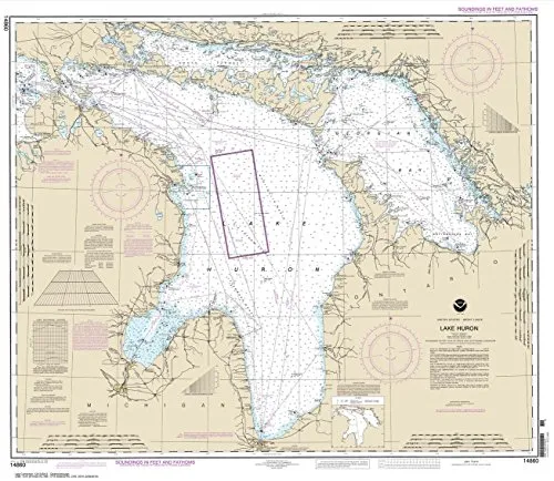
NOAA Chart 14860: Lake Huron 33.6’x38.8′ Water-Resistant Nautical Chart by Paradise Cay

$28.95
Explore Lake Huron with this NOAA Chart 14860, printed on water-resistant paper for durability and clarity.

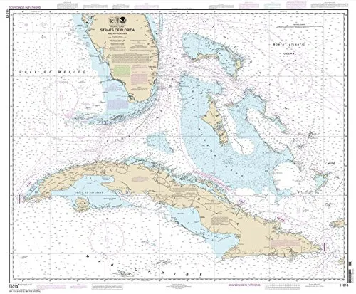
Straits of Florida Nautical Chart, 35.5 x 43, Water-Resistant Paper by NOAA, Certified Quality

$23.31
Discover the Straits of Florida Nautical Chart (35.5 x 43) on water-resistant paper, certified by NOAA for display quality and commercial vessel use.

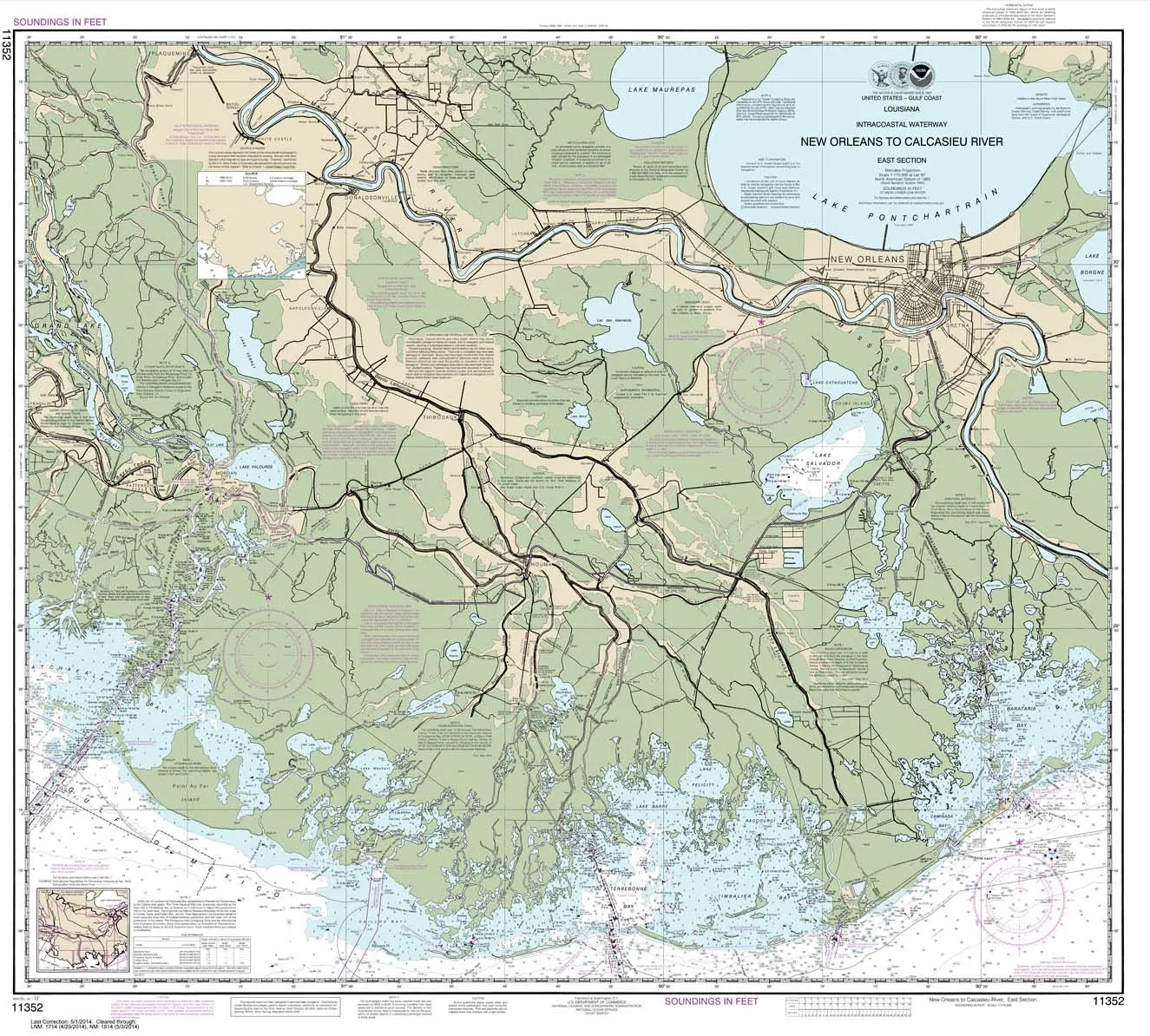
NOAA Chart 11352: Intracoastal Waterway New Orleans to Calcasieu River – 35.4′ x 39.3′ Paper

$28.95
Explore the Intracoastal Waterway with NOAA Chart 11352, printed on durable, water-resistant paper for navigation.

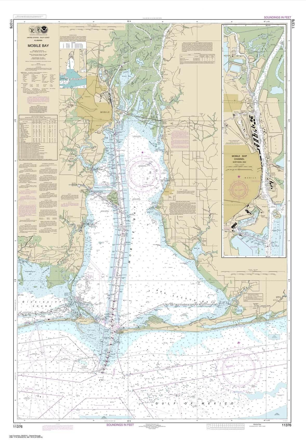
NOAA Chart 11376 Mobile Bay Ship Channel 34.9’x50.1′ Water-Resistant Paper by Paradise Cay

$28.95
Explore the NOAA Chart 11376 for Mobile Bay, featuring high-quality, water-resistant paper for durability. Ideal for navigation enthusiasts and professionals.

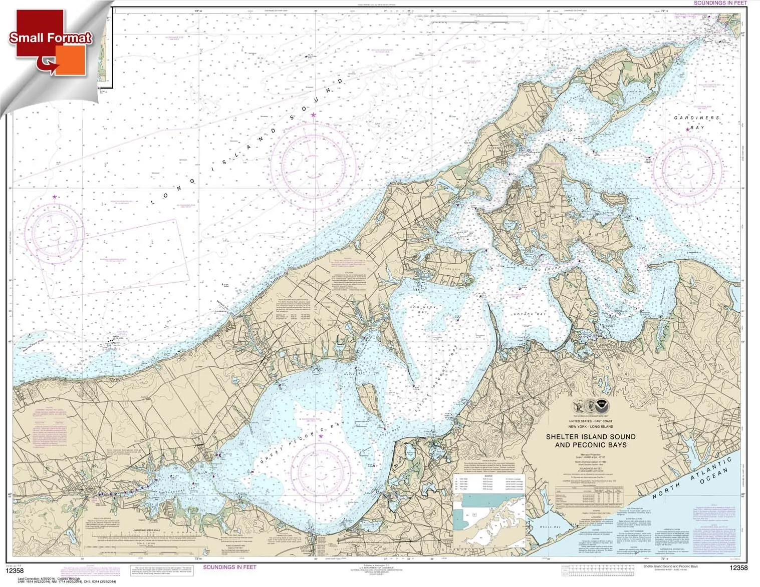
NOAA Chart 12358: Shelter Island Sound & Peconic Bays, 21’x27′ Waterproof Small Format

$18.95
Explore NOAA Chart 12358 featuring Shelter Island Sound and Peconic Bays in a compact, waterproof design. Ideal for planning, not navigation.

Baltimore Harbor Waterproof Chart 21’x26′ – Small Format, NOAA Certified, High-Quality Material

$18.95
Explore the Baltimore Harbor Waterproof Chart in a compact 21'x26' size. High-quality, NOAA certified, perfect for planning, not for navigation.

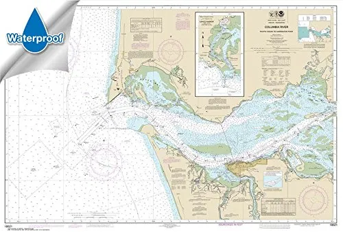
Columbia River to Harrington Point Chart 32.8×48.4 Waterproof – NOAA Certified Nautical Chart

$31.95
Explore the Columbia River to Harrington Point with this waterproof NOAA-certified chart. Perfect for navigators!

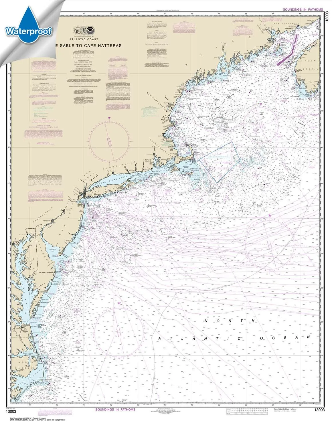
NOAA Chart 13003: Cape Sable to Cape Hatteras – Waterproof, USCG Certified, High-Quality Print

$31.95
Explore NOAA Chart 13003: Cape Sable to Cape Hatteras, featuring waterproof, tear-resistant material, and USCG certification for commercial vessel use.

Overview

With Trout Derby, you can trust that you are investing in quality fishing equipment that enhances your experience on the water. Our commitment to excellence ensures that every product we offer meets the highest standards, providing you with the reliability and performance necessary for successful fishing excursions.

Newsletter

Signup our newsletter to get update information, news & insight

Copyright © 2007-2024  All rights reserved.

Start typing to see posts you are looking for.
Shop
Wishlist
0 items Cart
My account