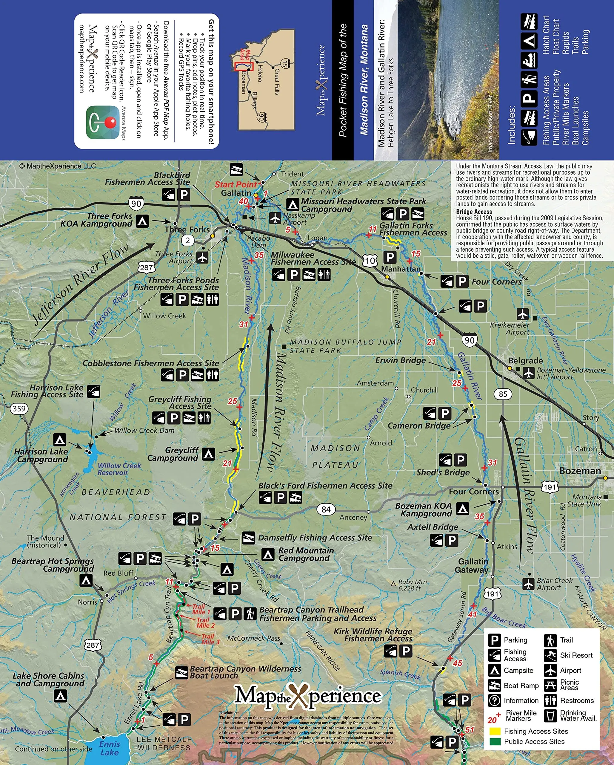
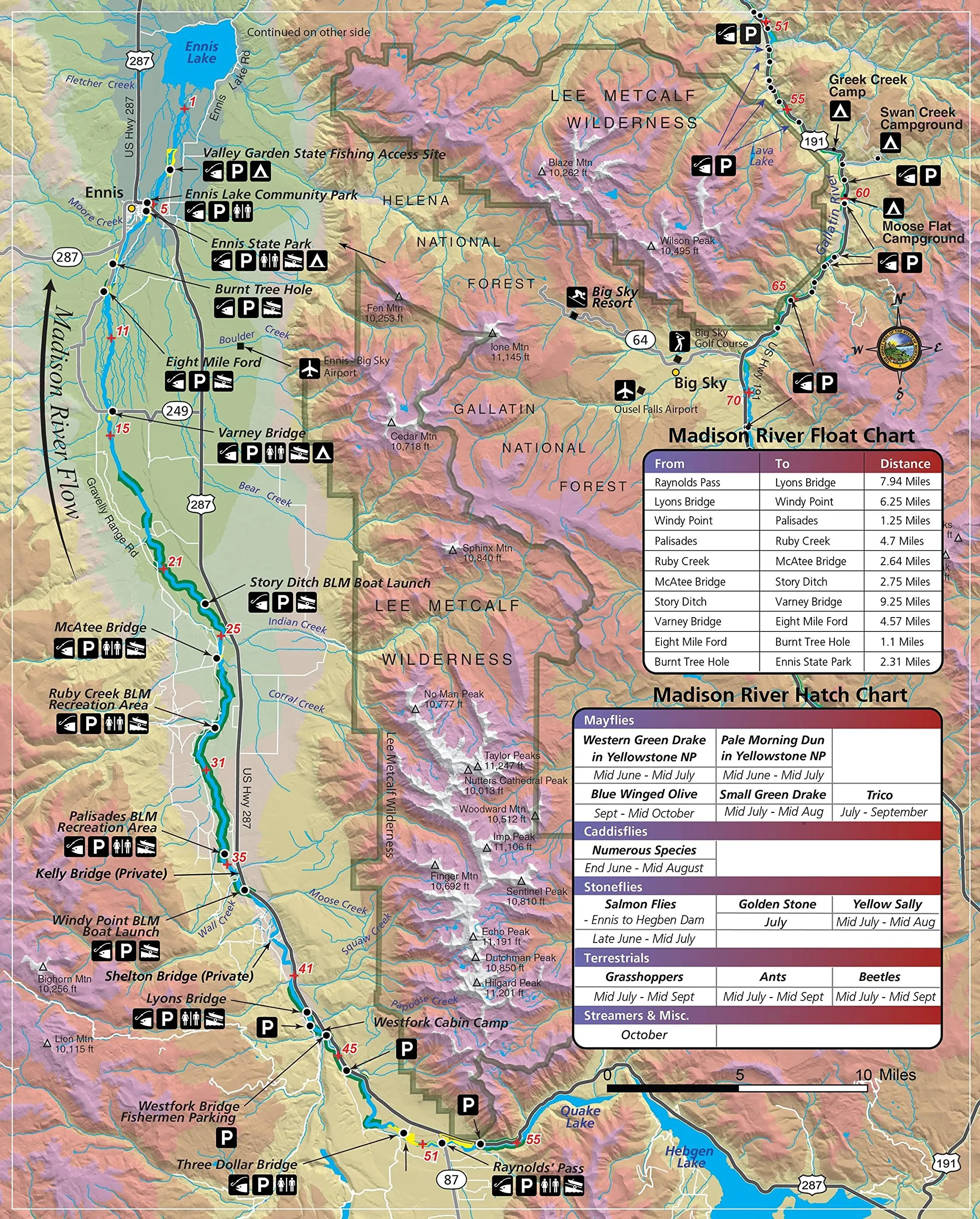
Madison River/Lower Gallatin Fishing Map – GPS Accurate, Detailed Coverage, Free Mobile Access

$9.95
Explore the Madison River and Lower Gallatin with this GPS-accurate fishing map. Perfect for any angler!

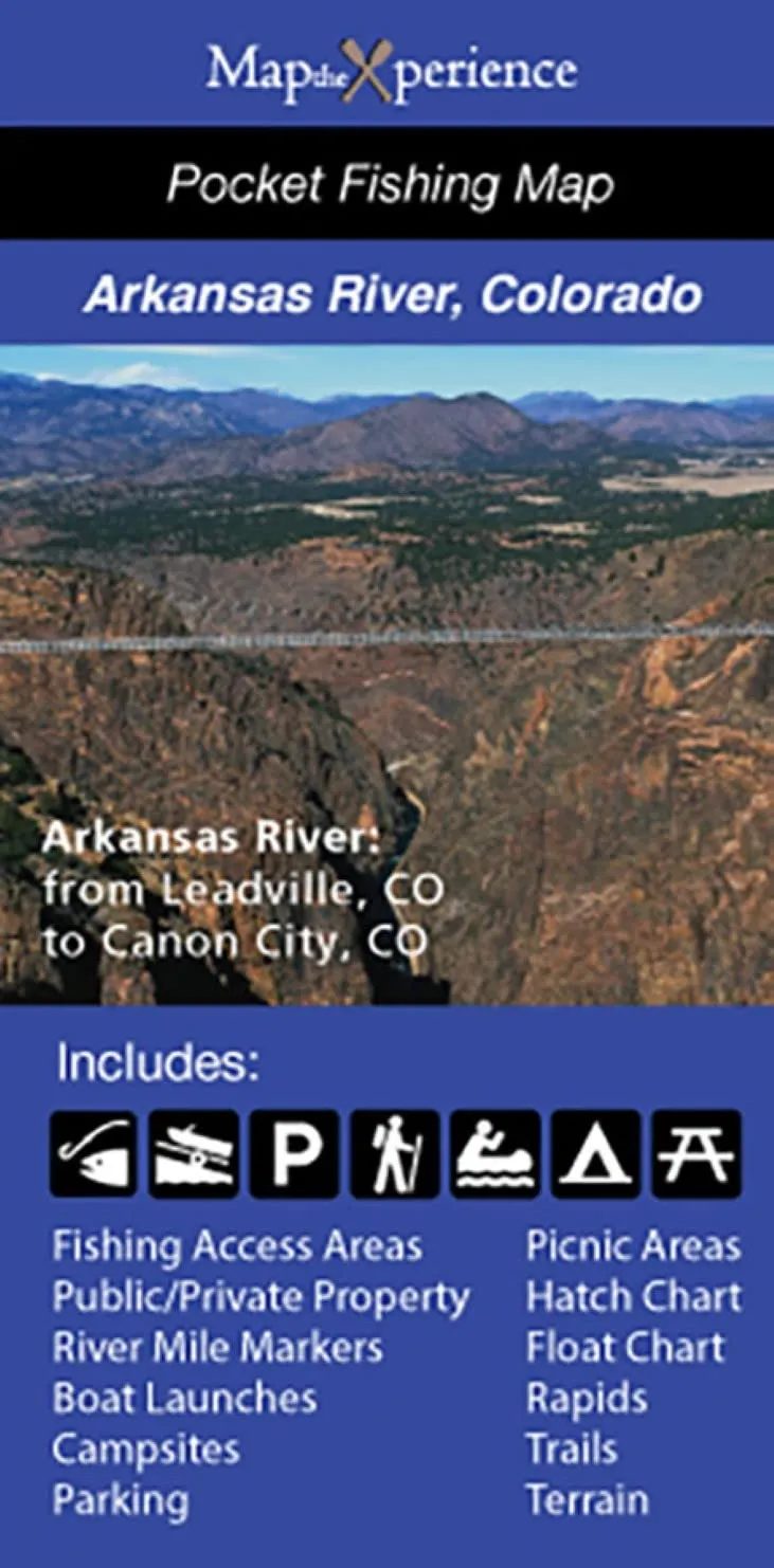
Arkansas River Fishing Map – GPS Accurate, Mobile Use, Covers Leadville to Canon City, 2017

$9.95
Explore the Arkansas River with this GPS accurate fishing map. Mobile-friendly and detailed, perfect for anglers from Leadville to Canon City.

Upper North Platte River Fishing Map – GPS Accurate, Covers Walden to Seminoe Reservoir

$9.95
Explore the Upper North Platte River with this detailed GPS fishing map, perfect for your outdoor adventures.

Green River Utah Fishing Map – GPS Accurate, Covers Green Lakes to Sommers Boat Take Out

$9.95
Explore the Green River with this GPS accurate fishing map, featuring detailed coverage from Green Lakes to Sommers Boat Take Out.

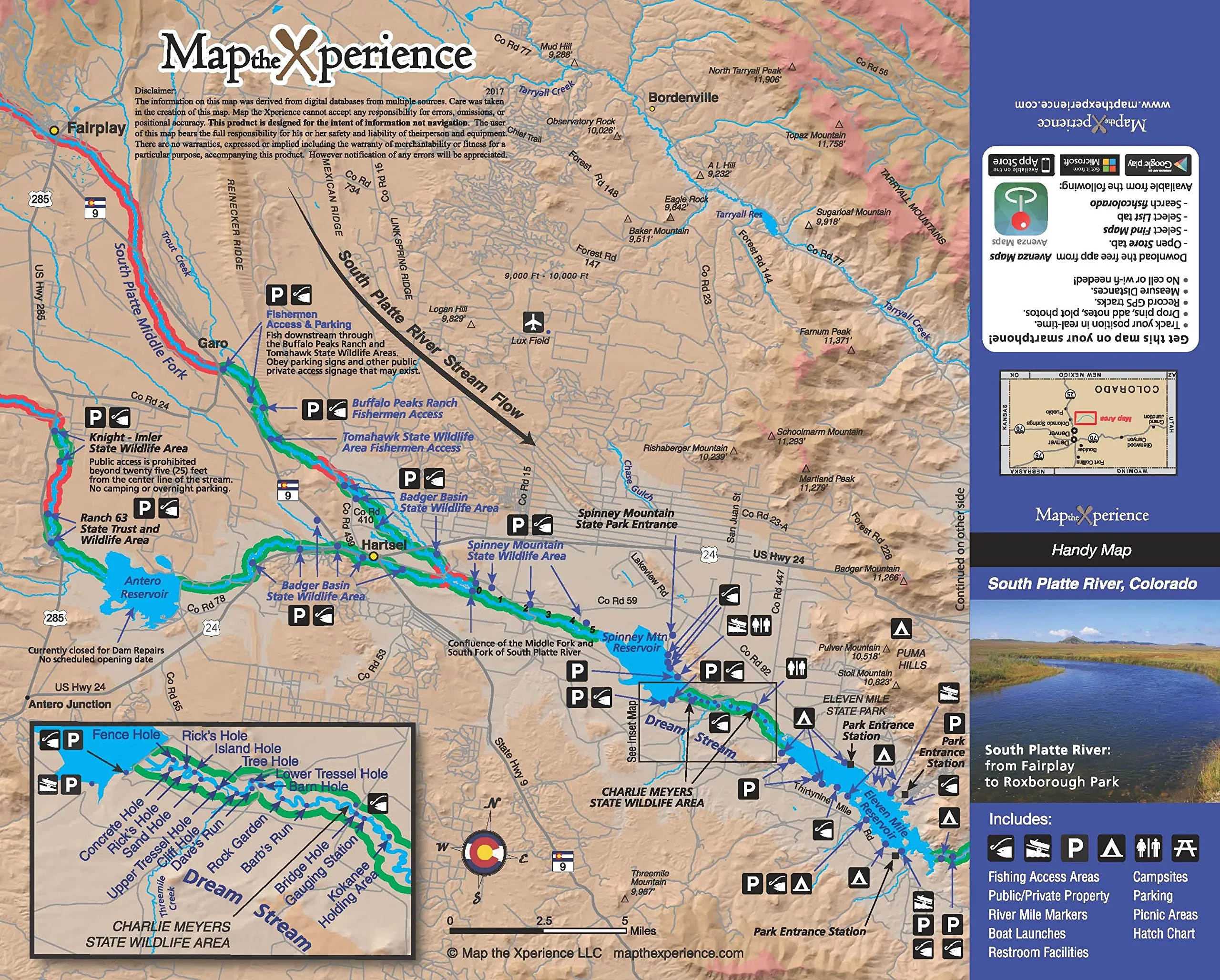
South Platte River Colorado Fishing Map – GPS Accurate, Covers Fairplay to Chatfield, 2017 Edition

$9.95
Explore the South Platte River with this GPS accurate fishing map, covering Fairplay to Chatfield Reservoir. Perfect for fishing enthusiasts!

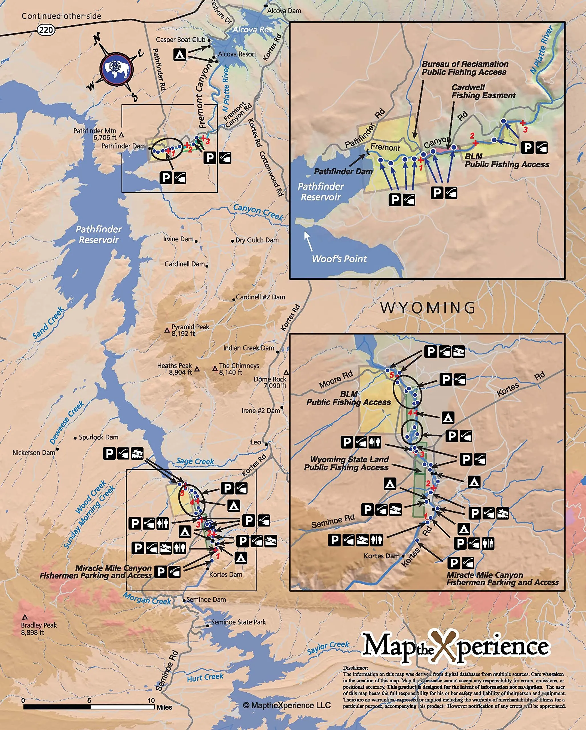
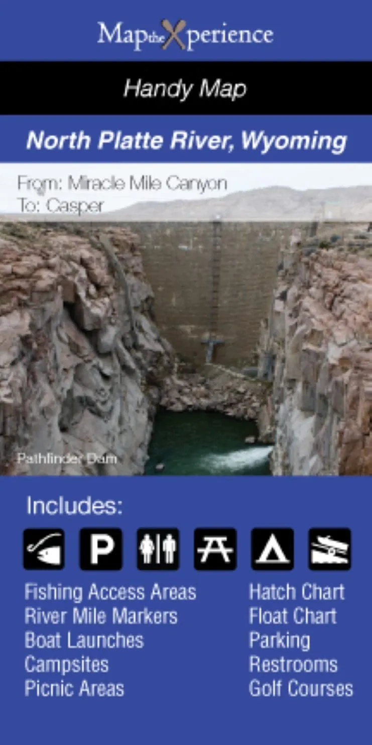
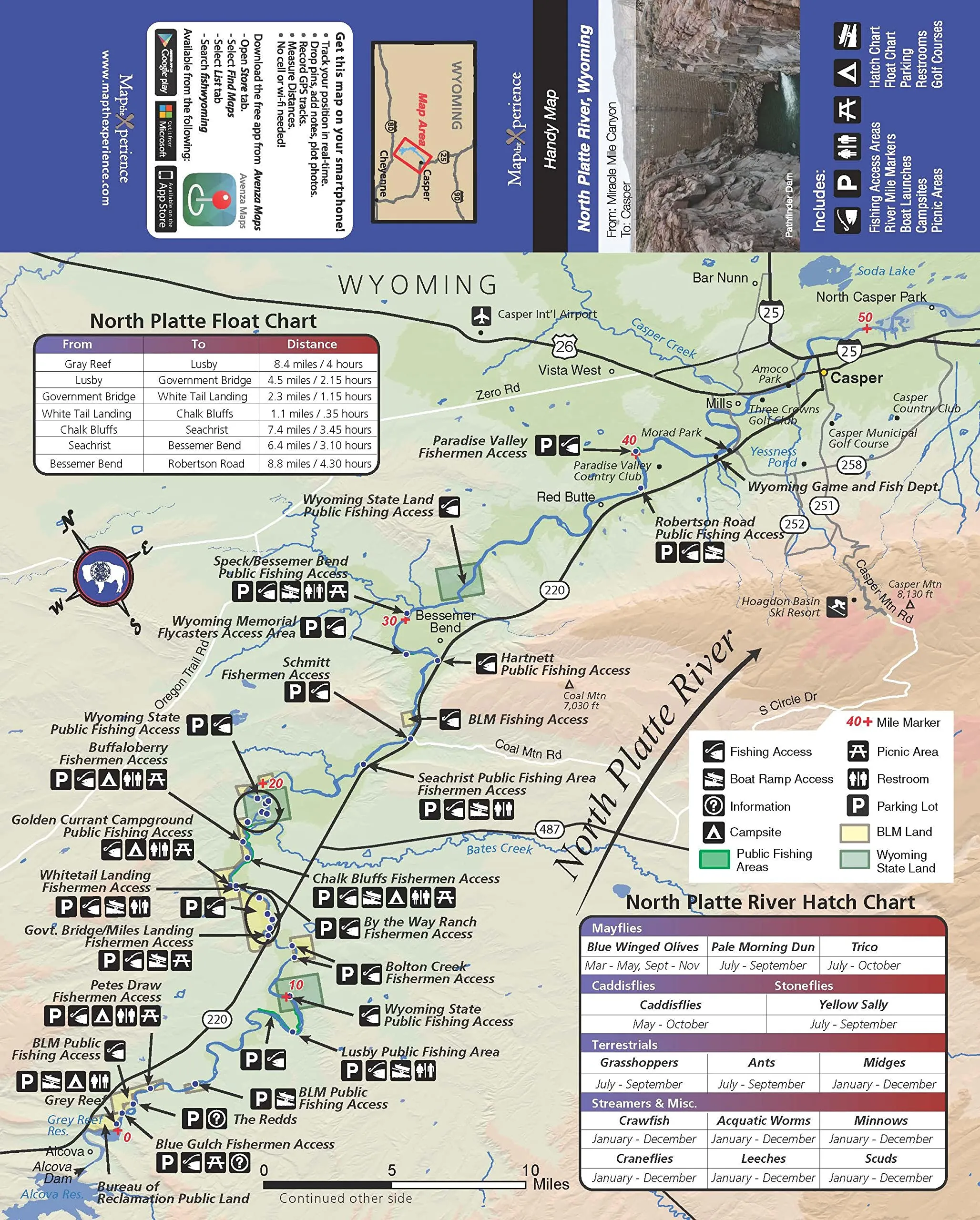
North Platte River Fishing Map, GPS Accurate, Covers Miracle Mile, Fremont Canyon, Grey Reef

$9.95
Explore the detailed North Platte River fishing map, covering key locations. Enjoy offline access with the free mobile map.

Captain Segull’s Inshore Choptank River Fishing Chart 12’x18′ – Nautical GPS Map for Small Boats

$18.95
Explore the Choptank Rivers with this 12'x18' detailed fishing chart. Perfect for small boats and kayaks, it includes GPS fishing areas and local amenities.

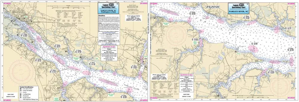
Captain Segull’s Pamlico River Fishing Chart 12’x18′ – Double-Sided Laminated Nautical Map

$18.95
Explore the Pamlico River with Captain Segull's 12'x18' double-sided fishing chart. Perfect for kayaks and small boats, it details fishing spots and amenities.

Captain Segull Inshore Fishing Chart 12’x18′ – Hempstead & Jamaica Bays, NY, Double-sided

$12.95
Explore the Captain Segull Inshore Fishing Chart for Hempstead & Jamaica Bays, NY. This 12'x18' double-sided chart highlights fishing areas, wrecks, and reefs.

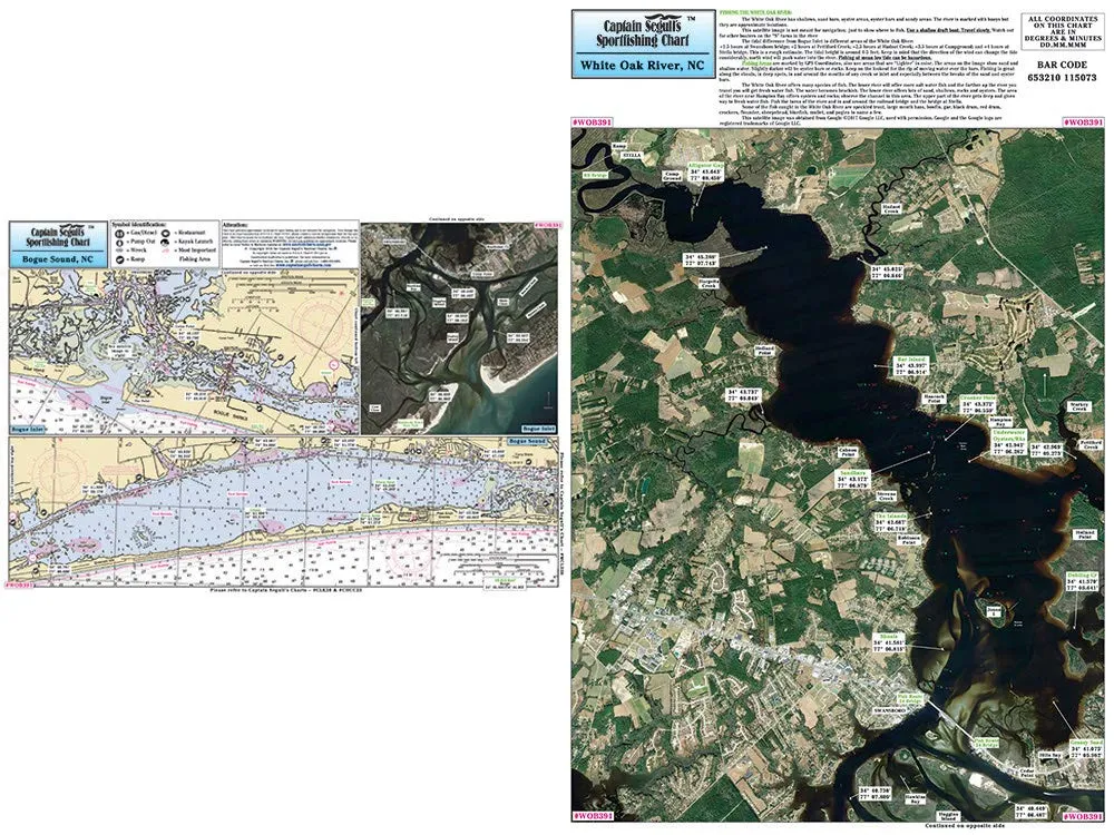
Captain Segull’s Inshore Fishing Chart 12’x18′ – White Oak River/Bogue Sound, NC – Laminated

$18.95
Explore inshore fishing with Captain Segull's detailed chart of White Oak River and Bogue Sound, NC. Perfect for small boats and kayaks!

Captain Segull’s Inshore Fishing Chart 12’x18′ for Fire Island to Jones Inlet, NY

$12.95
Explore the waters of Fire Island to Jones Inlet with this detailed 12'x18' fishing chart, perfect for small boats and kayaks.

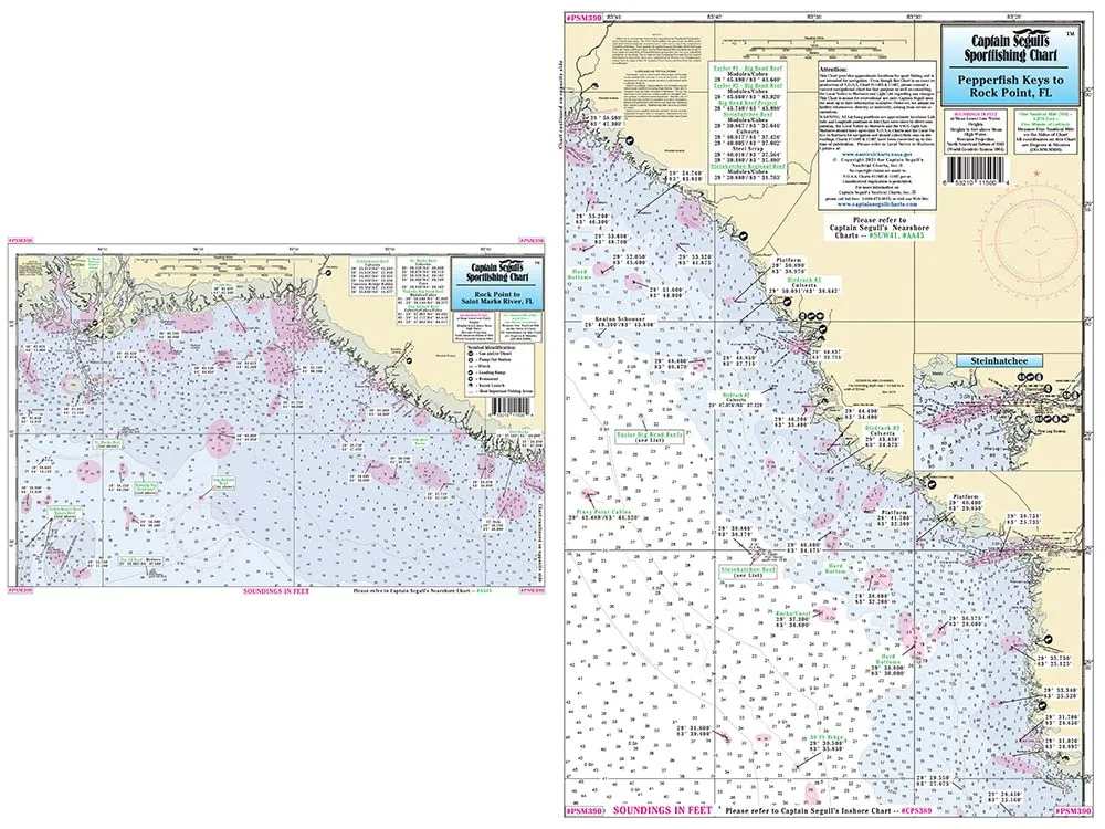
Captain Segull’s Inshore Fishing Chart for Pepperfish Keys, 12’x18′, Laminated, St Marks River, FL

$18.95
Explore the detailed Captain Segull's Inshore Fishing Chart for Pepperfish Keys, perfect for kayak adventures! Laminated for durability.

Captain Segull’s Inshore Cape Cod Canal Fishing Chart, Double-Sided Laminated, 12′ x 18′

$18.95
Explore the Cape Cod Canal with Captain Segull's detailed fishing chart. Double-sided, laminated for durability, featuring local fishing and boating information.

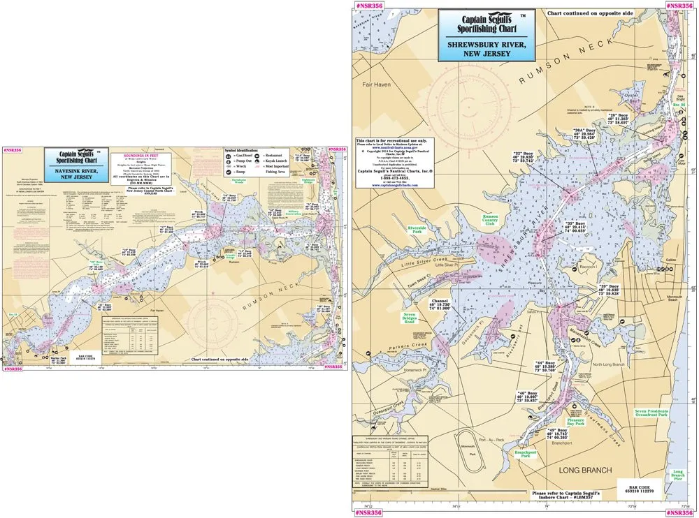
Captain Segull’s Inshore NJ Fishing Chart – Navesink & Shrewsbury Rivers 12’x18′ Double-Sided

$18.95
Explore the Navesink and Shrewsbury Rivers with Captain Segull's double-sided fishing chart. Perfect for local anglers!

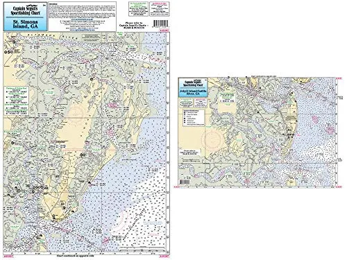
Captain Segull’s 12’x18′ Inshore Fishing Chart for Jekyll & St Simons Island GA, Double-Sided

$18.95
Explore Jekyll & St Simons Island with our 12'x18' double-sided coastal fishing chart, featuring detailed GPS information and local fishing spots.

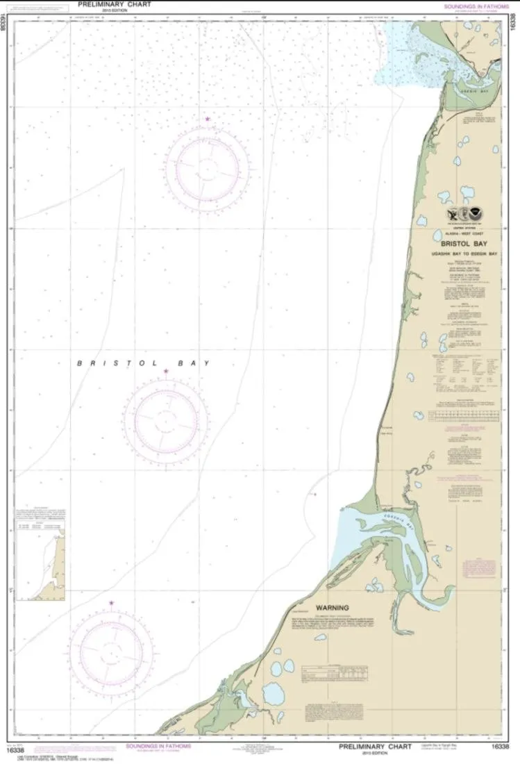
NOAA Chart 16338 – Bristol Bay to Egegik Bay – Water-Resistant Paper – East View Geospatial

$24.99
Explore NOAA Chart 16338, featuring Bristol Bay to Egegik Bay, printed on durable, water-resistant paper.

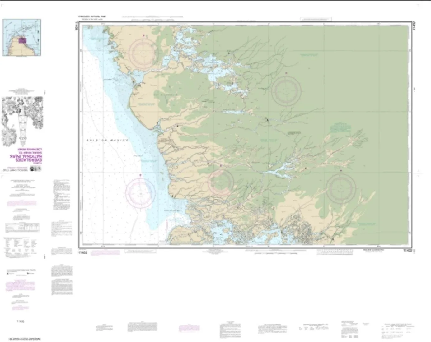
NOAA Chart 11432 – Everglades National Park Shark River to Lostmans River – Water-Resistant Map

$24.99
Explore the NOAA Chart 11432 for Everglades National Park, featuring a water-resistant design and detailed scale.

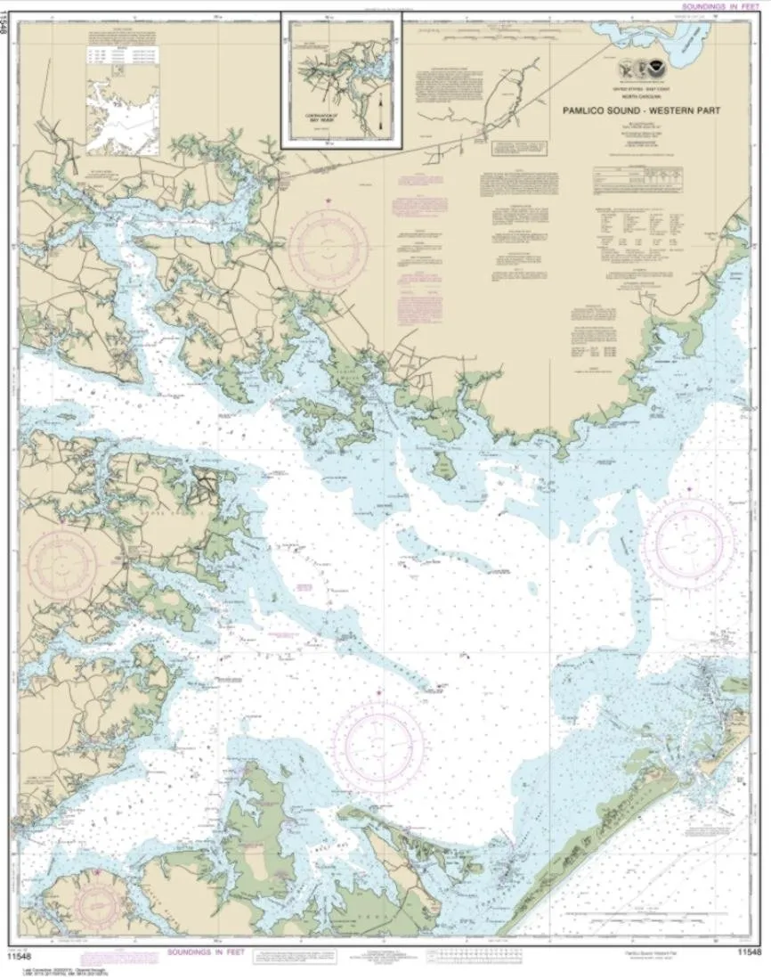
NOAA Chart 11548 Pamlico Sound West – Water-Resistant Nautical Map 112×89 inches

$24.99
Discover the NOAA Chart 11548 for Pamlico Sound Western Part. Water-resistant, lightweight, and tear-resistant for reliable navigation.

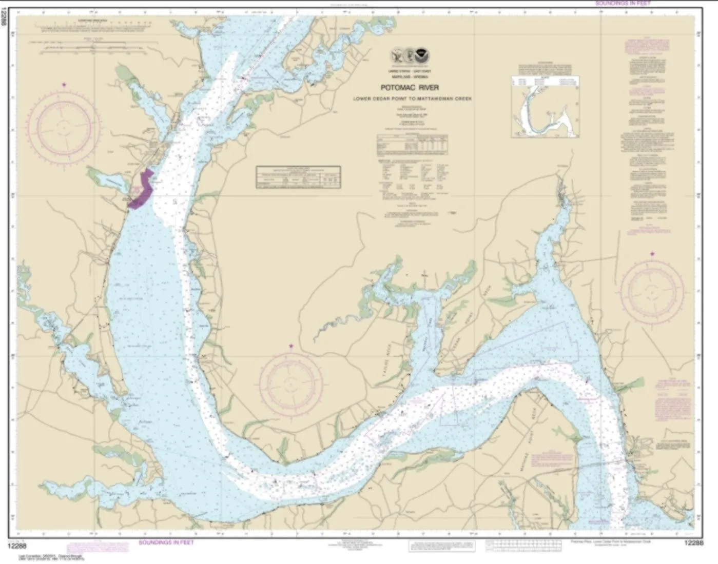
NOAA Chart 12288 – Potomac River Lower Cedar Point to Mattawoman Creek – Water-Resistant

$24.99
Explore the NOAA Chart 12288, a water-resistant map of the Potomac River, ideal for navigation enthusiasts. Lightweight and tear-resistant for durability.

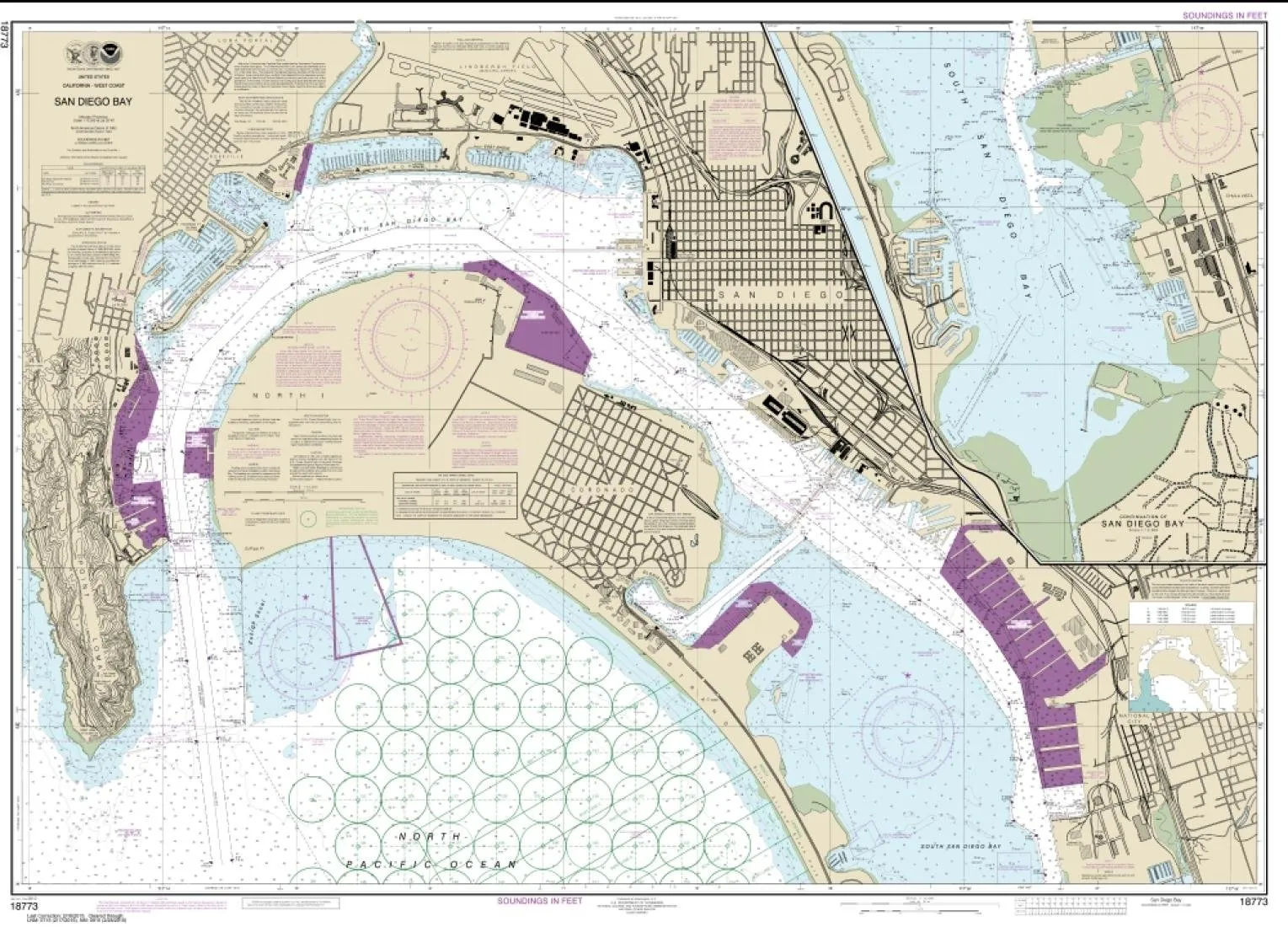
NOAA Chart 18773 San Diego Bay – Water-Resistant Nautical Map – 126×91 Inches by East View

$24.99
Discover NOAA Chart 18773 of San Diego Bay, a 126x91 inches water-resistant nautical map printed on durable PaperTyger for superior quality.

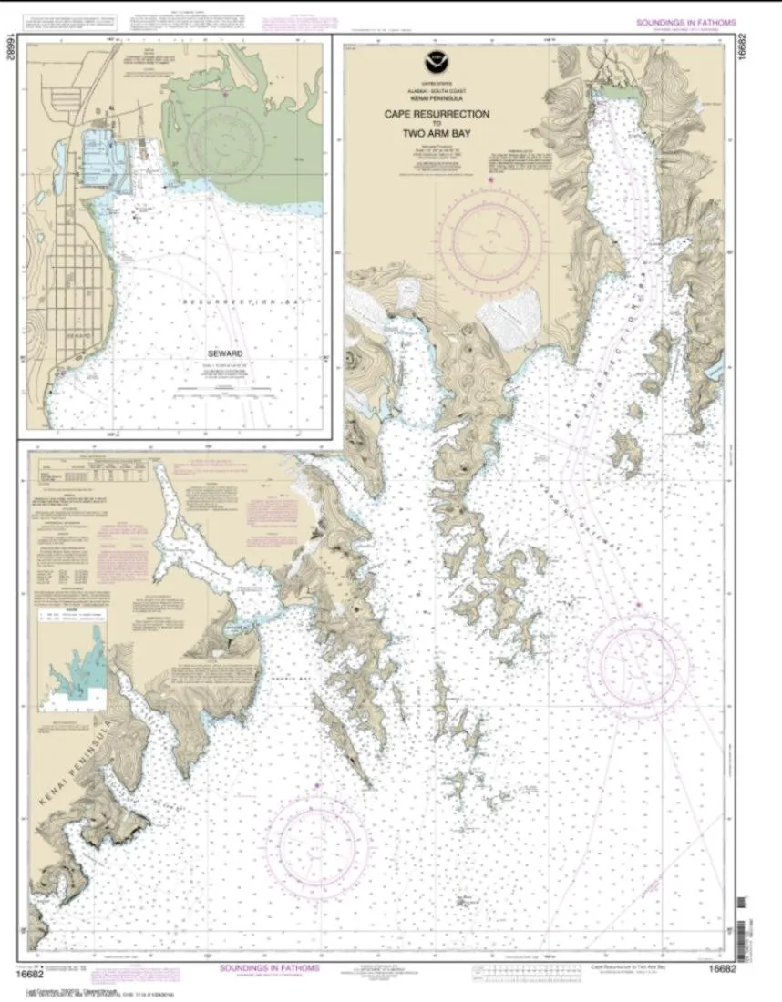
NOAA Chart 16682 – Cape Resurrection to Two Arm Bay – Water-Resistant PaperTyger – East View Geospatial

$24.99
Discover the NOAA Chart 16682, featuring Cape Resurrection to Two Arm Bay on durable, water-resistant PaperTyger. Perfect for navigation and outdoor adventures.

NOAA Chart 14500 – Great Lakes Water-Resistant Nautical Map – 120×90 inches by East View Geospatial

$24.99
Discover the NOAA Chart 14500 for the Great Lakes, a water-resistant nautical map perfect for navigation.

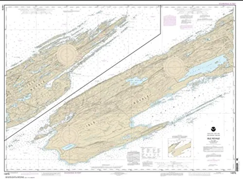
NOAA Chart 14976 Isle Royale – Water-Resistant Nautical Map by East View Geospatial

$24.99
Explore the NOAA Chart 14976 Isle Royale, a water-resistant nautical map printed on durable PaperTyger.

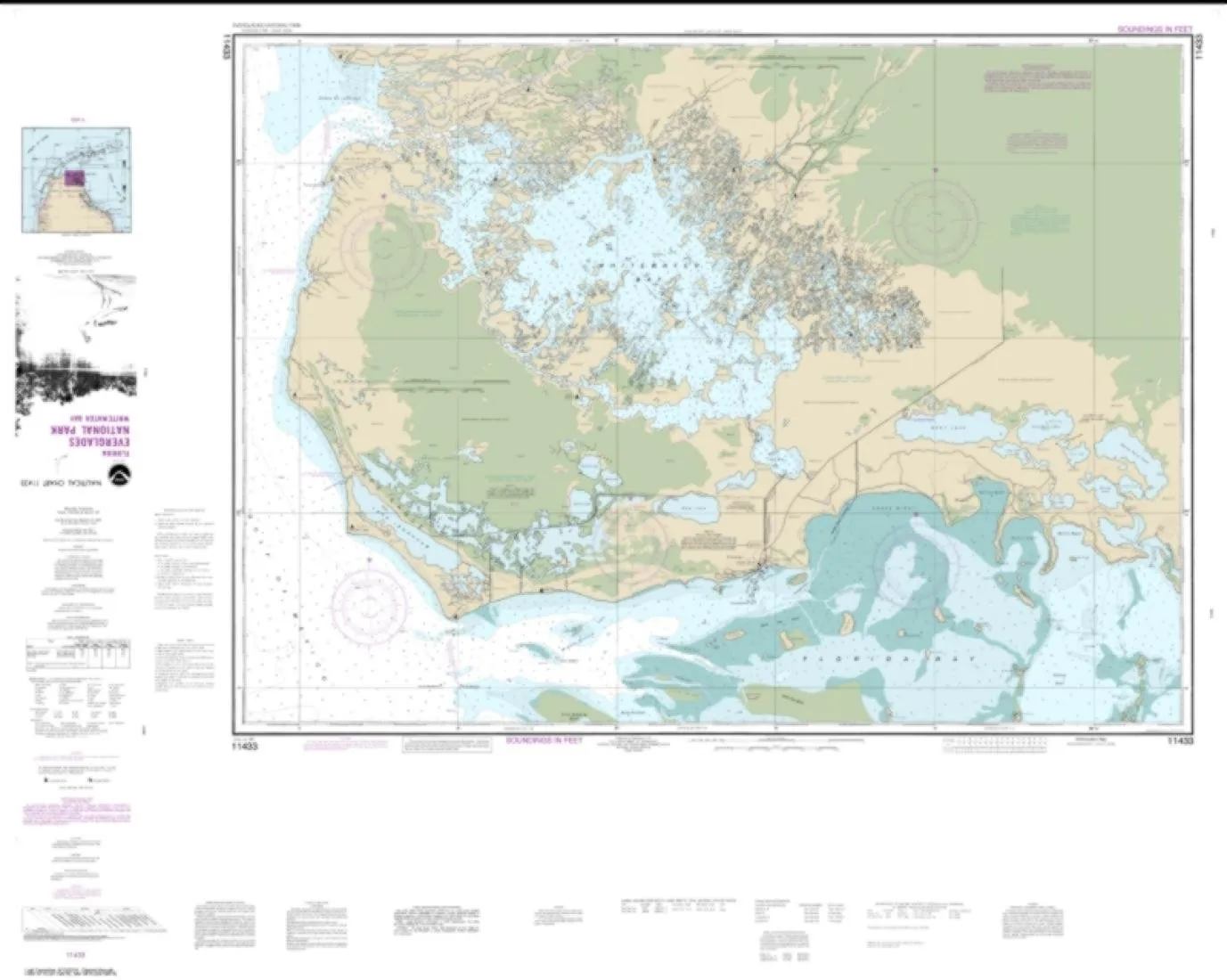
NOAA Chart 11433 – Everglades National Park Water-Resistant Map by East View Geospatial

$24.99
Explore the Everglades with NOAA Chart 11433, a water-resistant map printed on durable PaperTyger.

Overview

With Trout Derby, you can trust that you are investing in quality fishing equipment that enhances your experience on the water. Our commitment to excellence ensures that every product we offer meets the highest standards, providing you with the reliability and performance necessary for successful fishing excursions.

Newsletter

Signup our newsletter to get update information, news & insight

Copyright © 2007-2024  All rights reserved.

Start typing to see posts you are looking for.
Shop
Wishlist
0 items Cart
My account