Skip to content
Trout Derby
About
Cart
Checkout
Collections
Contact
Home
My Account
Payment Methods
Privacy Policy
Return Policy
Shipping Policy
Shop
Terms of Use
Track your order
Trout Derby
Main Menu
About
Cart
Checkout
Collections
Contact
Home
My Account
Payment Methods
Privacy Policy
Return Policy
Shipping Policy
Shop
Terms of Use
Track your order
Home
/
Shop
/ Page 352
Shop
Showing 4213–4224 of 4944 results
Default sorting
Sort by popularity
Sort by average rating
Sort by latest
Sort by price: low to high
Sort by price: high to low
Buy product
Charts & Maps
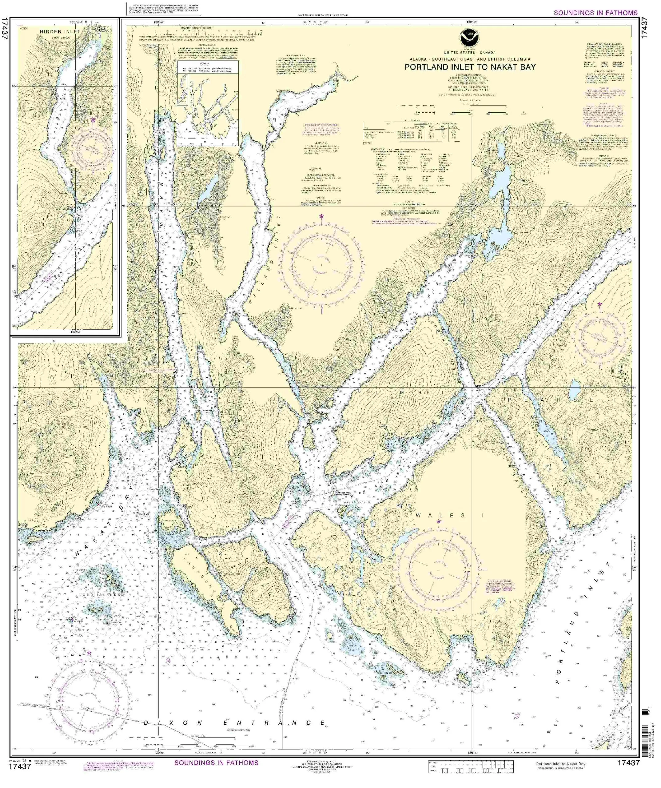
Portland Inlet to Nakat Bay Nautical Chart – NOAA Approved, On-Demand, Updated with NTM Corrections
Rated
0
out of 5
$
32.95
Buy product
Buy product
Charts & Maps
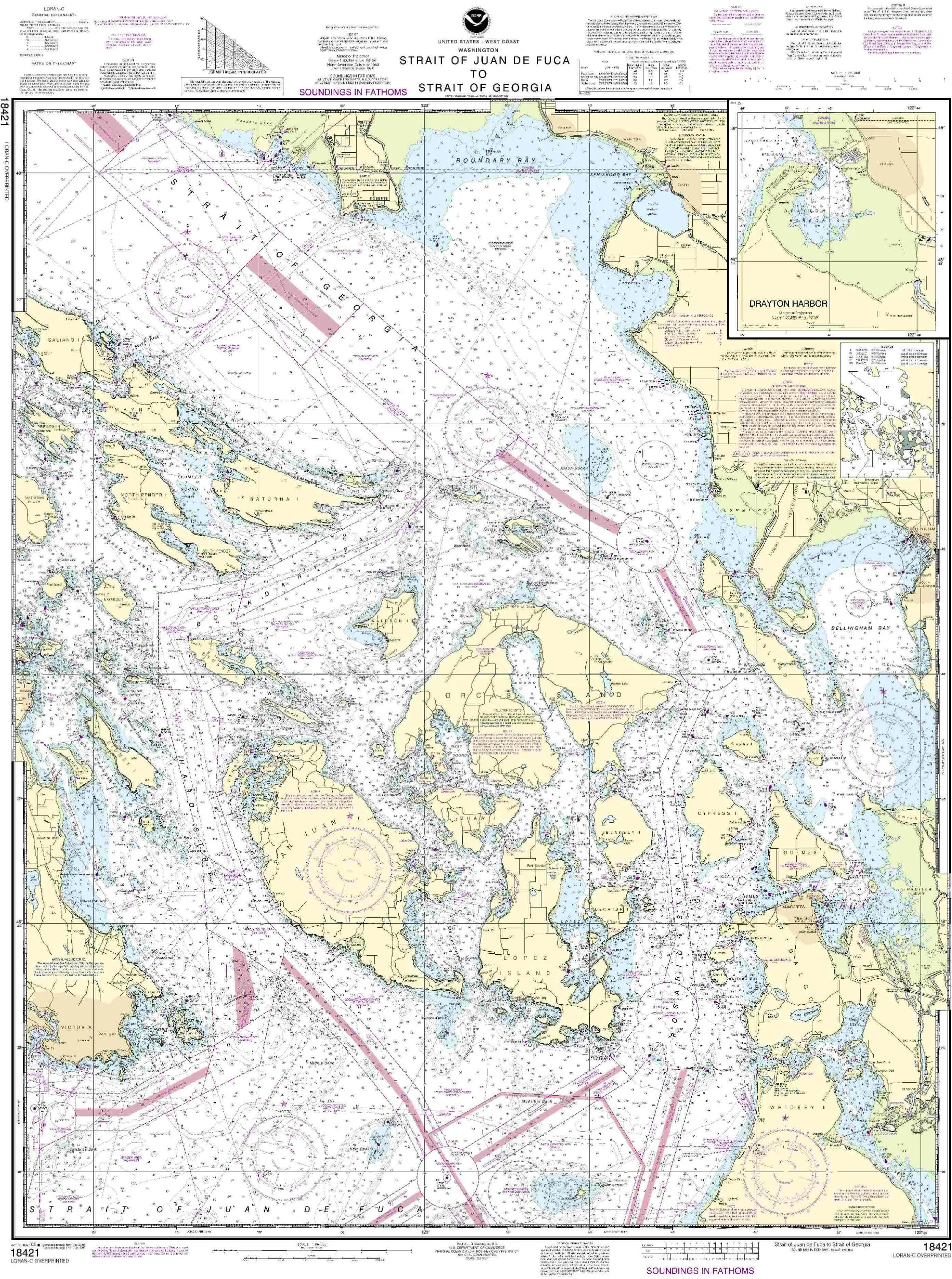
18421-Strait of Juan de Fuca to Strait of Georgia Nautical Chart, 45.54” H x 35.16” W
Rated
0
out of 5
$
27.95
Buy product
Buy product
Charts & Maps
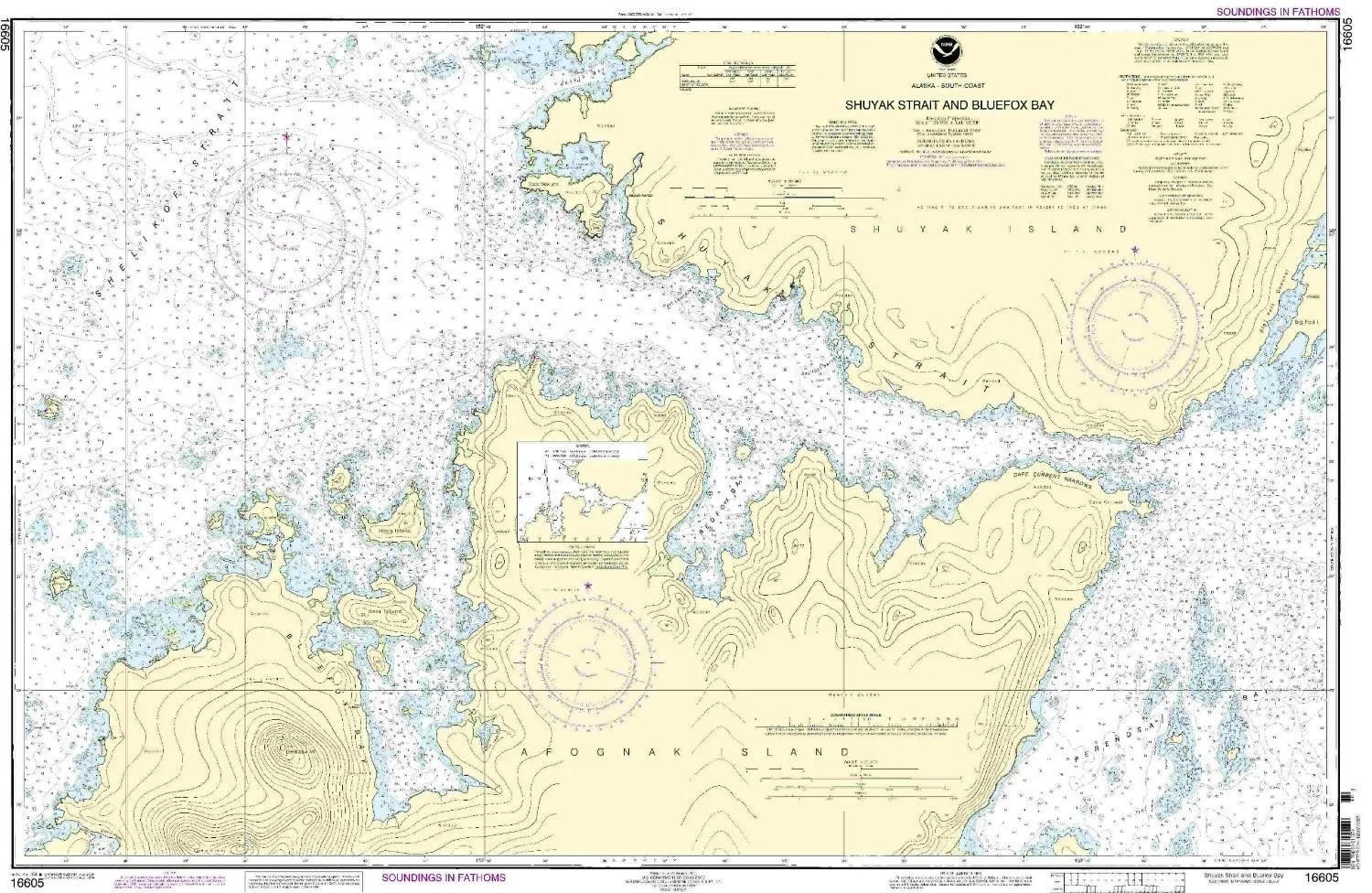
NOAA Nautical Chart 16605 – Shuyak Strait & Bluefox Bay, 1:20000 Scale, Pacific Northwest/Alaska
Rated
0
out of 5
$
34.95
Buy product
Buy product
Charts & Maps
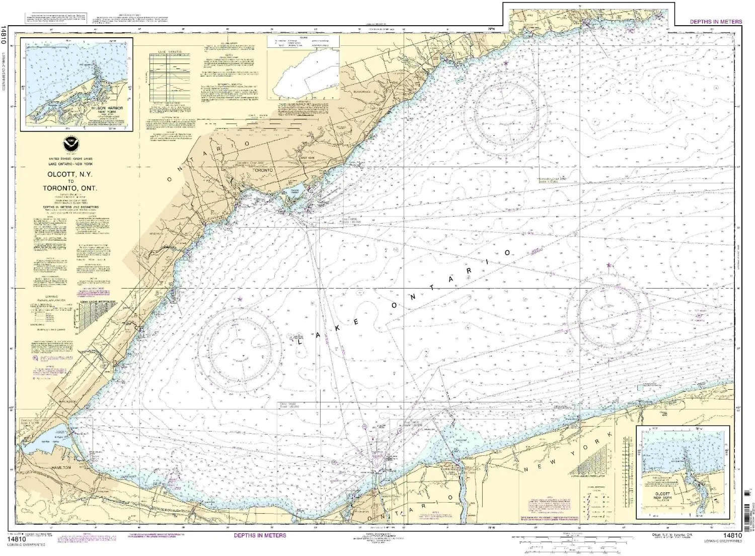
Olcott Harbor to Toronto Nautical Chart – NOAA Approved, Metric, 45.53′ x 34.03′ – OceanGrafix
Rated
0
out of 5
$
20.94
Buy product
Buy product
Charts & Maps
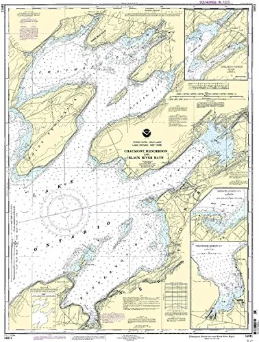
NOAA Nautical Chart for Chaumont, Henderson, Black River Bays – 1:30000 Scale, 38.26” H x 28.21” W
Rated
0
out of 5
$
20.94
Buy product
Buy product
Charts & Maps
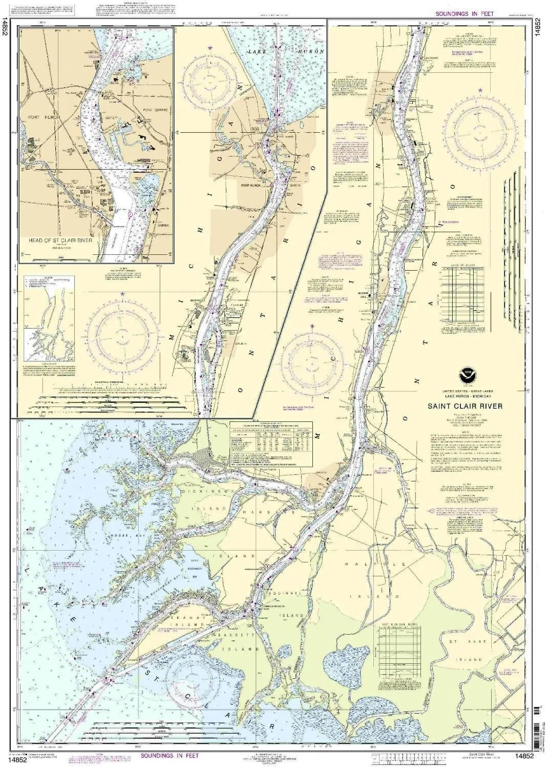
14852 St. Clair River NOAA Nautical Chart 1:40000 Scale for Eastern U.S./Canada Region
Rated
0
out of 5
$
20.94
Buy product
Buy product
Charts & Maps
NOAA 14867 Saginaw River Nautical Chart, Up-to-Date with NTM Updates, USCG Approved
Rated
0
out of 5
$
20.94
Buy product
Buy product
Charts & Maps
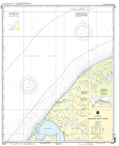
Print-On-Demand Nautical Chart Wainwright Inlet to Atainik 6th Edition 1:50000 Size by NOAA
Rated
0
out of 5
$
34.95
Buy product
Buy product
Charts & Maps
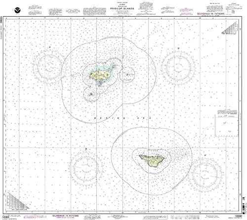
NOAA Pribilof Islands Nautical Chart – Updated, U.S. Coast Guard Approved, Meets SOLAS Regulations
Rated
0
out of 5
$
27.95
Buy product
Buy product
Charts & Maps
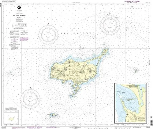
St. Paul Island Nautical Chart NOAA Approved – 1:50000 Scale, 35.43” H x 41.52” W, OceanGrafix
Rated
0
out of 5
$
34.95
Buy product
Buy product
Charts & Maps
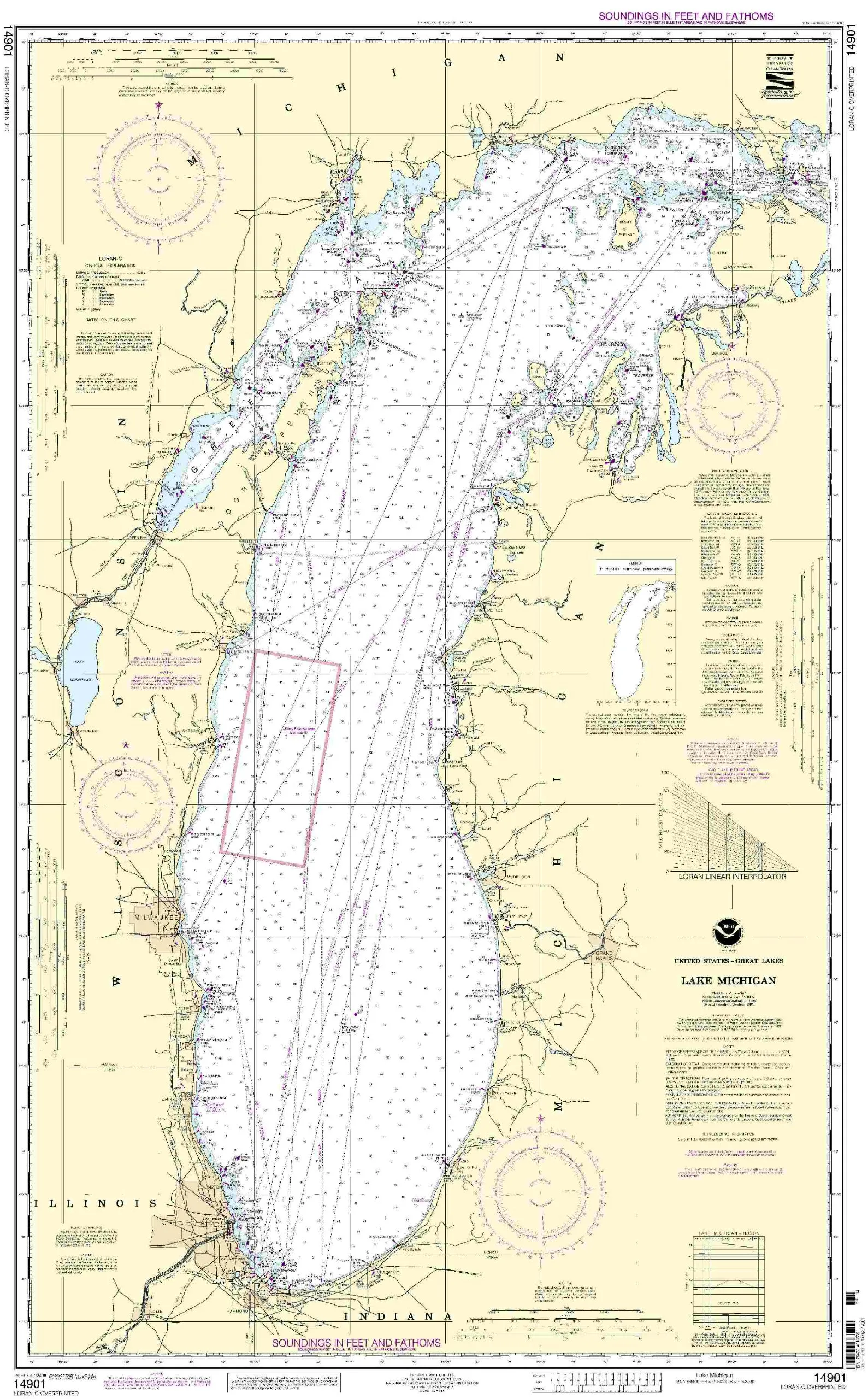
NOAA 14901 Lake Michigan Nautical Chart with Current NTM Updates – Commercial & Recreational Use
Rated
0
out of 5
$
20.94
Buy product
Buy product
Charts & Maps
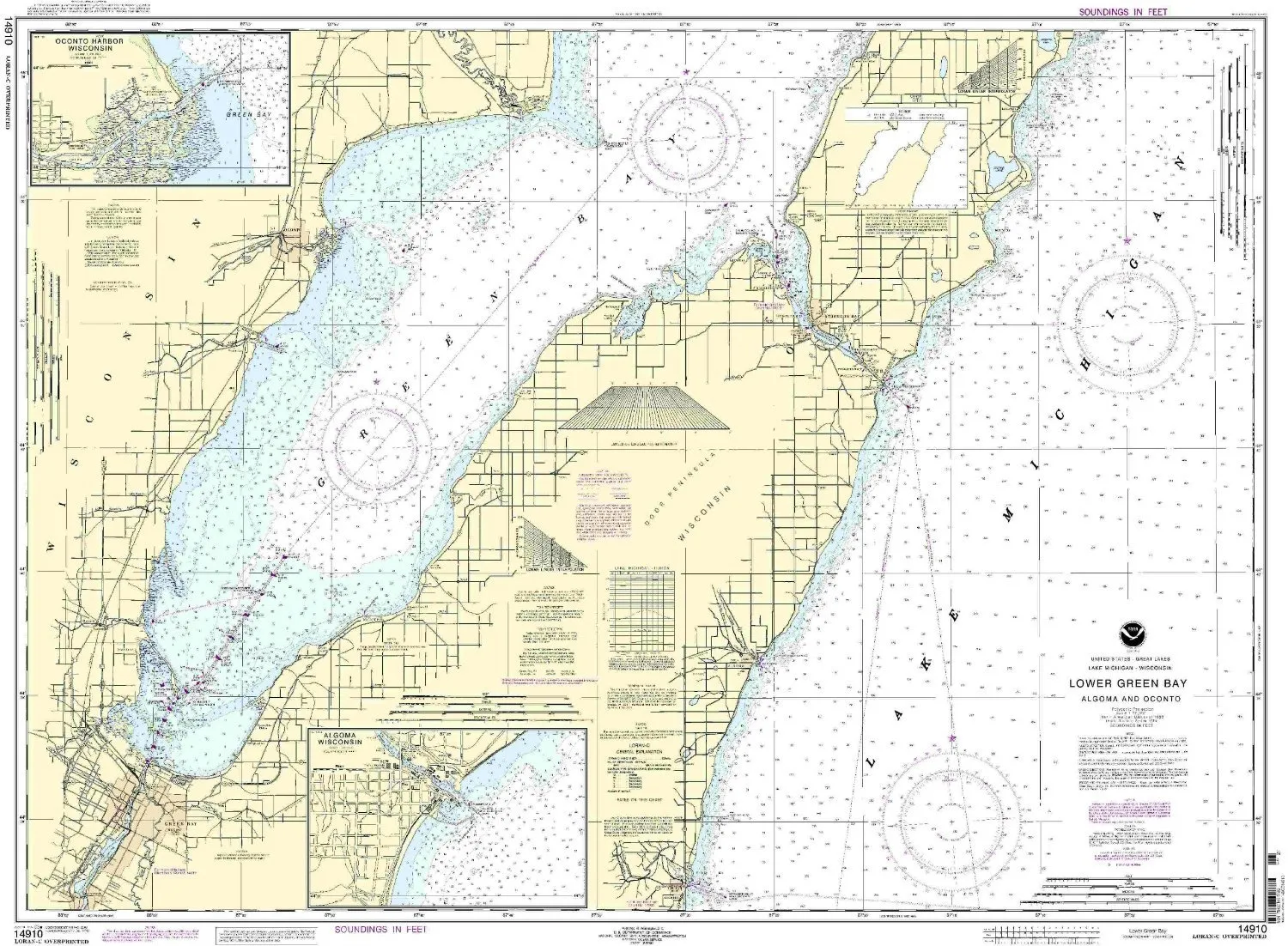
14910 Lower Green Bay NOAA Nautical Chart – 1:80000 Scale, 34.36′ H x 46.87′ W, U.S. Coast Guard Approved
Rated
0
out of 5
$
20.94
Buy product
←
1
2
3
…
349
350
351
352
353
354
355
…
410
411
412
→
Scroll to Top