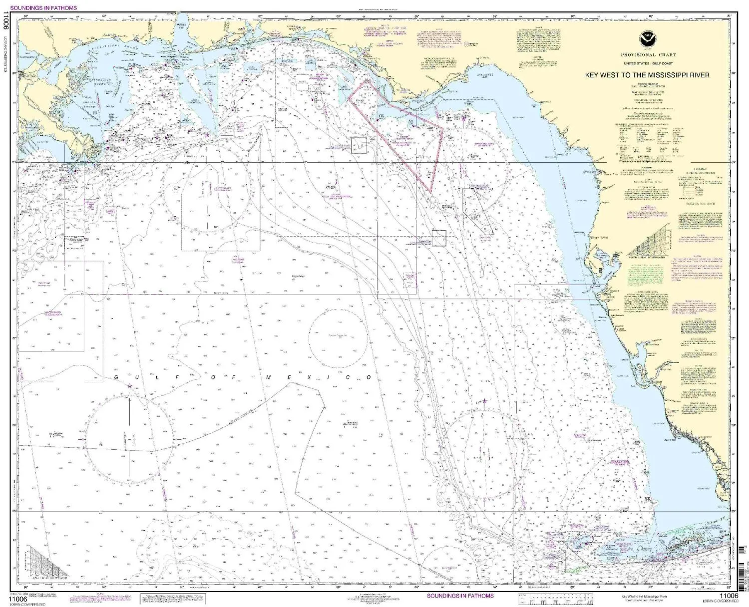
The 11006-Gulf Coast Nautical Chart, covering the area from Key West to the Mississippi River, is an essential tool for both commercial and recreational mariners. This chart is produced by OceanGrafix in partnership with the National Oceanic and Atmospheric Administration (NOAA). It is designed to provide the most accurate and up-to-date navigation data available, ensuring safe and efficient travel across these waters.
One of the standout features of this nautical chart is that it is printed on demand. This means that every chart you receive includes all of the latest Notice to Mariners (NTM) updates at the time of printing. This feature is crucial for mariners who rely on current data to navigate safely. The integration of these updates helps in avoiding hazards and ensures compliance with maritime regulations.
Furthermore, the 11006-Gulf Coast Nautical Chart meets all U.S. and international carriage requirements for commercial vessels, as outlined in the SOLAS (Safety of Life at Sea) Chapter V Regulation 19.2.1.8. This makes it not only a reliable resource for recreational boaters but also a mandatory tool for commercial shipping operations, which must adhere to strict safety guidelines.
| Feature | Description |
| NOAA Approval | Chart is NOAA-approved for mariners, ensuring reliability and accuracy. |
| On-Demand Printing | Features up-to-date information with all Notice to Mariners corrections applied. |
| Carriage Requirements | Meets SOLAS Chapter V Regulation 19.2.1.8 for commercial vessels. |
| User-Friendly | Designed for ease of use, ensuring mariners can read and interpret data quickly. |
The chart is printed on high-quality materials to withstand the maritime environment, making it durable and long-lasting. Mariners can trust that this chart will serve them well during their journeys across the Gulf Coast.
In summary, the 11006-Gulf Coast Nautical Chart is a vital resource that combines accuracy, up-to-date information, and compliance with maritime regulations. Whether you’re a seasoned sailor or a recreational boater, this chart will provide the necessary information to navigate safely and confidently through the waters from Key West to the Mississippi River.



Reviews
There are no reviews yet.