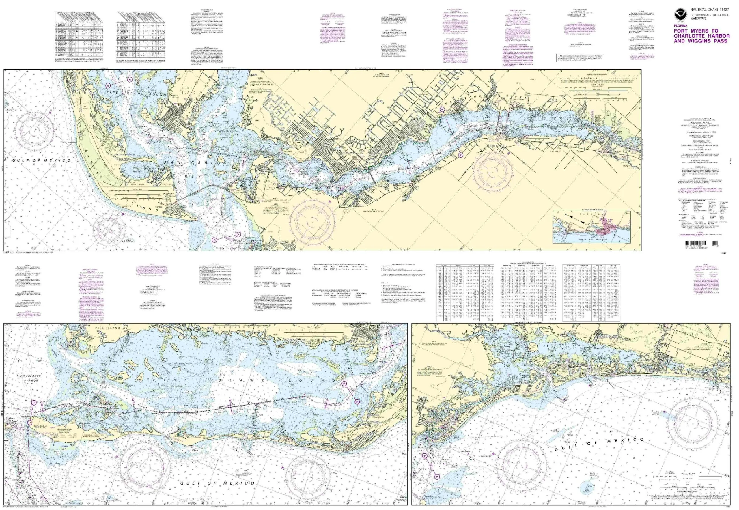
Introducing the 11427-Intracoastal Waterway Nautical Chart, an essential tool for both recreational and commercial mariners navigating the waters from Fort Myers to Charlotte Harbor and Wiggins Pass. This chart is meticulously produced by OceanGrafix in collaboration with the National Oceanic and Atmospheric Administration (NOAA), ensuring that you have access to the most current and precise nautical information available.
What sets this chart apart is its ‘printed on demand’ feature, meaning you receive the latest updates at the time of printing. Every Notice to Mariners (NTM) correction is diligently applied, providing you with a reliable resource that adheres to the highest standards of maritime navigation.
Designed for safety and compliance, the 11427 chart meets both U.S. and international carriage requirements as outlined in the SOLAS (Safety of Life at Sea) Chapter V Regulation 19.2.1.1.2. Additionally, it is U.S. Coast Guard approved, making it a trusted choice for all mariners. Whether you are planning a leisurely day on the water or undertaking a commercial voyage, this chart is designed to enhance your navigation experience.
| Chart Name | 11427-Intracoastal Waterway |
| Coverage Area | Fort Myers to Charlotte Harbor and Wiggins Pass |
| Brand | NOAA |
| Features | Printed on demand, NOAA-approved, all NTM corrections applied |
| Compliance | Meets U.S. and international carriage requirements |
| Approval | U.S. Coast Guard approved |
In summary, the 11427-Intracoastal Waterway nautical chart is more than just a map; it’s a vital resource for ensuring safe and efficient navigation. With its commitment to accuracy and usability, this chart is perfect whether you’re a seasoned sailor or a novice exploring coastal waters.


Reviews
There are no reviews yet.