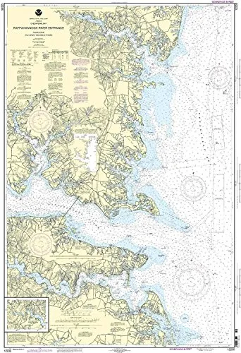
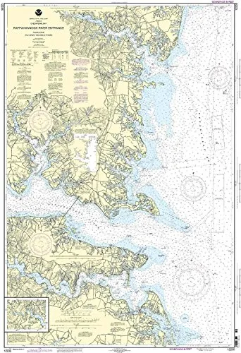
Welcome to the detailed presentation of the 12235 Rappahannock River Nautical Chart, specifically designed for mariners navigating the Piankatank and Great Wicomico Rivers. This chart is not just a piece of paper; it is a vital tool that enhances maritime safety and navigation. Printed by OceanGrafix, this nautical chart meets both U.S. and international carriage requirements for commercial vessels, ensuring that mariners have access to the most accurate and up-to-date information.
The 12235 Rappahannock River chart is produced using the latest technology and is NOAA-approved. One of the key features of this chart is that it is printed only after an order has been received. This means that all information, including the latest corrections from the Notice to Mariners, is applied to provide the most current navigation data available. Mariners can trust that they are equipped with the best resources to navigate safely.
| Chart Number | 12235 |
| Region | Eastern U.S./Canada |
| Scale | 1:40000 |
| Dimensions | 50.65′ H x 33.75′ W |
| Approval | U.S. Coast Guard Approved |
The dimensions of the chart, measuring 50.65 inches in height and 33.75 inches in width, make it large enough for easy reading while navigating. The scale of 1:40000 provides a detailed view that allows mariners to assess their route with precision, ensuring a safe passage through the waters of the Rappahannock River and its surrounding areas.
Whether you are a seasoned mariner or a newcomer to boating, having accurate nautical charts is essential for a successful journey. The 12235 Rappahannock River Nautical Chart is more than just a chart; it is an essential navigation tool that provides peace of mind and assurance that you are following the most reliable maritime information available. Trust in NOAA-approved resources to guide your maritime adventures.


Reviews
There are no reviews yet.