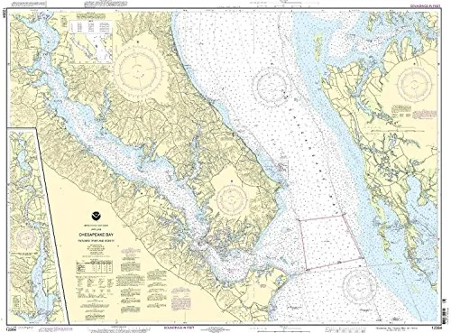
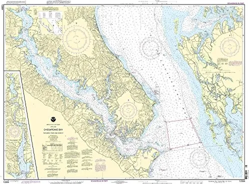
The 12264 Chesapeake Bay nautical chart is an essential tool for both commercial and recreational mariners navigating the Patuxent River and its vicinity. Produced with the utmost precision, this chart is provided by NOAA in collaboration with OceanGrafix, ensuring that you receive the most current and accurate nautical information available. Using cutting-edge printing technology, this chart is printed on demand, meaning it incorporates all the latest Notice to Mariners (NTM) updates at the time of printing. This guarantees that your navigational aid is not only accurate but also reliable for your maritime journeys.
One of the standout features of the 12264 chart is its compliance with international maritime regulations. Specifically, it meets the carriage requirements outlined in the SOLAS (Safety of Life at Sea) Chapter V Regulation 19.2.1.239. This regulation is critical for commercial vessels, ensuring that mariners have access to the necessary navigational information to operate safely in various waters. The U.S. Coast Guard has also approved this nautical chart, further emphasizing its importance and reliability for maritime operations.
| Feature | Description |
| Chart Type | NOAA Standard Nautical Chart |
| Region | Chesapeake Bay – Patuxent River |
| Printing Method | On-Demand Printing |
| Updates | Includes all latest Notice to Mariners corrections |
| Compliance | Meets SOLAS Chapter V requirements |
Whether you are a seasoned mariner or just beginning your journey on the water, having access to a reliable and accurate nautical chart is vital. The 12264 Chesapeake Bay nautical chart not only helps you to navigate the waters safely but also provides peace of mind knowing that you are equipped with the most current information available. This chart is an investment in your safety and efficiency while on the water.
In summary, when you choose the 12264 Chesapeake Bay Nautical Chart, you are selecting a product that is designed with the mariner’s needs in mind. With NOAA’s backing and OceanGrafix’s commitment to quality, you can trust that this chart will serve you well on your maritime adventures. Don’t compromise on your navigational aids; opt for the best and stay informed as you explore the beautiful waters of Chesapeake Bay.


Reviews
There are no reviews yet.