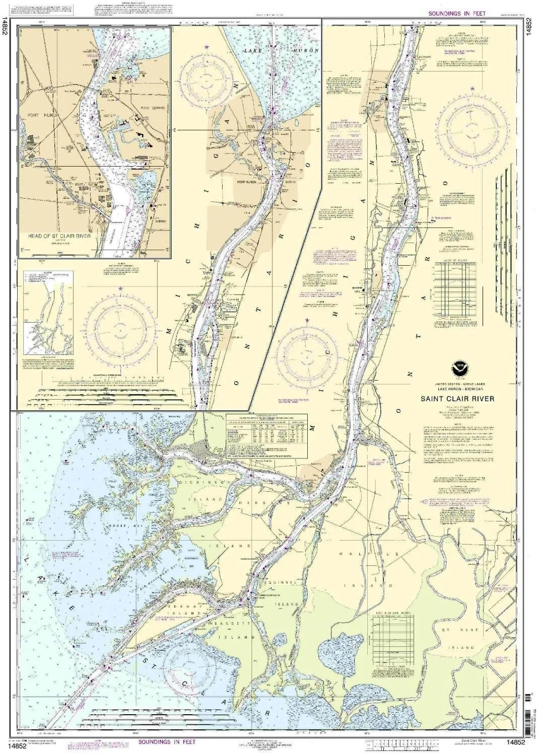
Introducing the 14852 St. Clair River Nautical Chart, a vital tool for mariners navigating the waters of the Eastern United States and Canada. This chart is produced by OceanGrafix, known for their commitment to providing the most accurate and current nautical charts available.
One of the standout features of this chart is that it is printed only after an order has been received. This guarantees that you receive the most up-to-date information available, ensuring that your navigation is based on the latest data. In addition, all Notice to Mariners corrections are meticulously applied to each chart, so you can trust that you are using a reliable navigation aid.
This nautical chart meets all U.S. and international carriage requirements for commercial vessels, making it an essential addition for any serious mariner. Furthermore, it is U.S. Coast Guard approved, providing you with peace of mind as you navigate the waters.
Here are the key specifications of the 14852 St. Clair River Nautical Chart:
| Scale | 1:40000 |
| Region | Eastern U.S./Canada |
| Dimensions | 44.45” H x 31.54” W |
With its detailed representation of the St. Clair River area, this chart is perfect for both recreational and commercial use, ensuring that you have all the information necessary to navigate these waters safely.
Whether you are a seasoned mariner or just starting your journey on the water, the 14852 St. Clair River NOAA Nautical Chart will serve as an indispensable resource. Its quality, accuracy, and compliance with maritime standards make it the ideal choice for your navigation needs.
Invest in your maritime adventures with this top-quality nautical chart, and sail with confidence knowing you have the best information at your fingertips!


Reviews
There are no reviews yet.