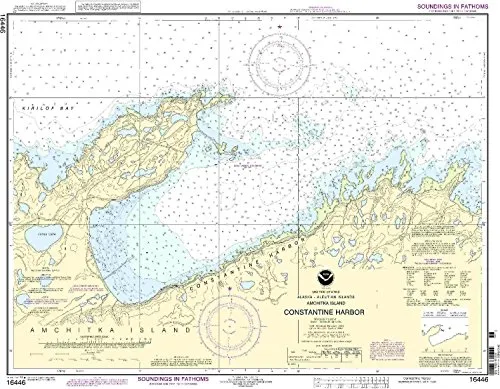
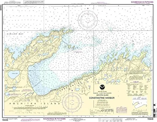
Introducing the 16446-Rat Island nautical chart, a must-have for any mariner navigating the waters of Constantine Harbor on Amchitka Island. This chart is meticulously crafted by OceanGrafix, ensuring that you receive the most up-to-date and NOAA-approved nautical information available.
One of the standout features of this chart is that it is printed only after an order has been received. This means you are guaranteed to have the latest information at your fingertips, which is crucial for safe navigation. Additionally, all Notice to Mariners corrections are applied, giving you peace of mind while on the water.
The 16446-Rat Island chart meets both U.S. and international carriage requirements for commercial vessels, making it an essential tool for mariners who prioritize compliance and safety. It is also U.S. Coast Guard approved, further validating its reliability and accuracy.
| Chart Scale | 1:10,000 |
| Size (inches) | 28.86′ x 22.93′ |
The detailed coverage of Constantine Harbor provided by this chart will enhance your navigation experience, allowing you to explore the area with confidence. Its large size makes it easy to read, and the meticulous attention to detail ensures that you are aware of all necessary navigational information.
In summary, the 16446-Rat Island nautical chart is not just a map; it’s a vital resource for any mariner. With its NOAA approval, on-demand printing, and compliance with commercial vessel requirements, you can trust that you are equipped with the best information available. Whether you’re a seasoned sailor or a newcomer to maritime navigation, having this chart onboard will empower your journey through the waters of Amchitka Island.


Reviews
There are no reviews yet.