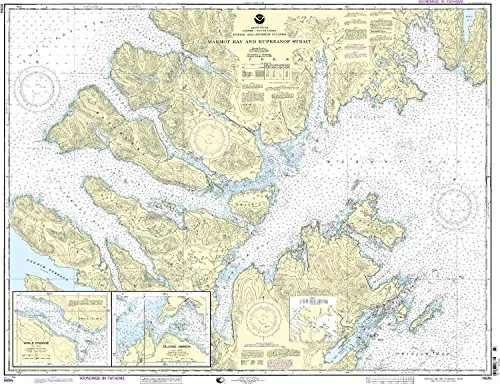
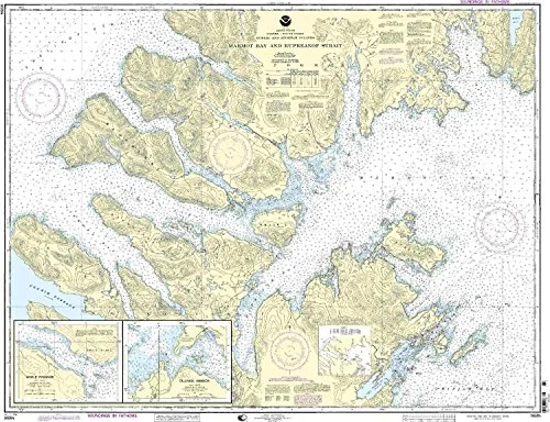
Introducing the 16594-Kodiak Island Nautical Chart, a vital tool for mariners navigating the beautiful waters of the Pacific Northwest and Alaska region. This chart, detailing the intricate waterways of Marmot Bay, Kupreanof Strait, Whale Passage, and Ouzinkie Harbor, is an essential resource for both commercial and recreational boating.
Manufactured by OceanGrafix, this nautical chart is printed only after an order is received, ensuring that you receive the most current and up-to-date information possible. This practice not only guarantees accuracy but also means that all necessary corrections from the Notice to Mariners are applied before the chart is printed. This is crucial for maintaining safe navigation in ever-changing marine environments.
The chart is designed to meet both U.S. and international carriage requirements for commercial vessels, making it a reliable choice for commercial navigation. Additionally, it is U.S. Coast Guard approved, further enhancing its credibility and reliability.
| Feature | Details |
|---|---|
| Scale | 1:78900 |
| Dimensions | 35.37” H x 45.89” W |
| Approval | NOAA & U.S. Coast Guard |
| Updates | All Notice to Mariners corrections applied |
| Usage | Commercial & Recreational Navigation |
This 16594-Kodiak Island Nautical Chart is not just a piece of paper; it is an essential guide that ensures safe and efficient navigation through one of the most complex marine areas in North America. Whether you are a seasoned mariner or a casual boater, having the right chart can make all the difference in your journey.
Invest in your maritime safety and navigation with the 16594-Kodiak Island Nautical Chart. With its comprehensive details, accurate scaling, and crucial updates, this chart is designed to meet the demanding needs of today’s mariners.


Reviews
There are no reviews yet.