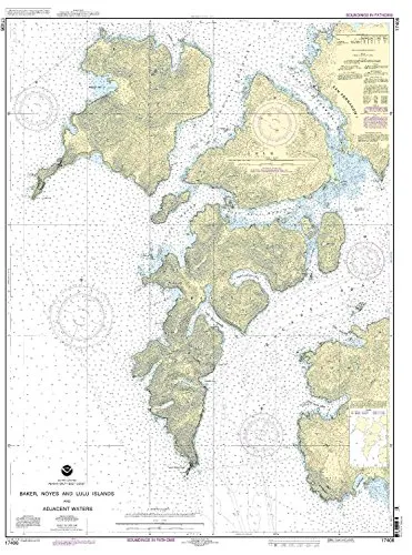
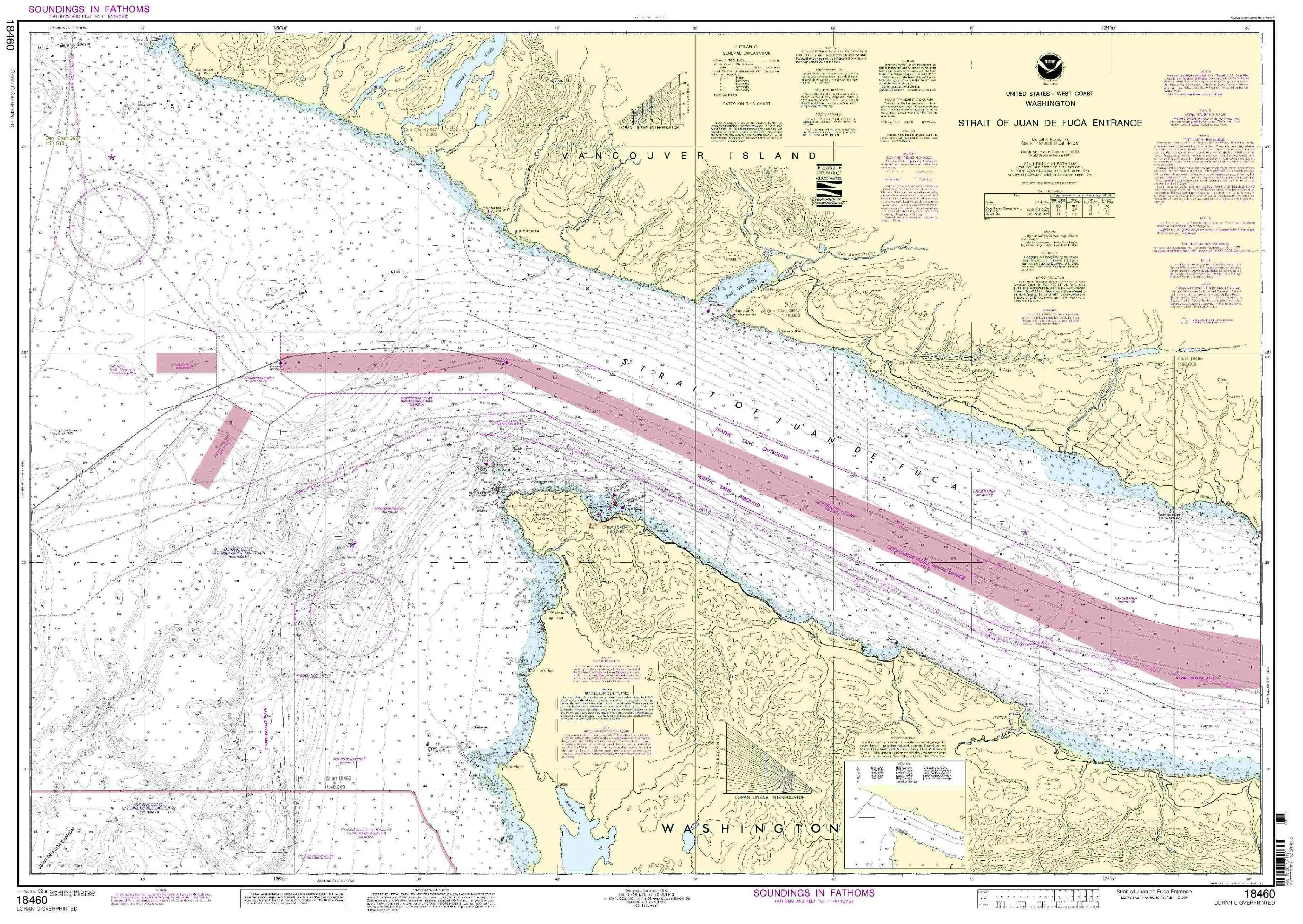
Introducing the Baker, Noyes, and Lulu Island Nautical Chart, a must-have for any mariner navigating the Pacific Northwest and Alaska region. This chart, produced by OceanGrafix, stands out for its commitment to accuracy and up-to-date information. With a scale of 1:40000, it provides detailed insights into coastal waters, making it an essential tool for both recreational and commercial boating.
OceanGrafix ensures that all charts are printed only after an order is received. This means that every chart reflects the most current information available. All Notice to Mariners corrections are applied diligently, guaranteeing that you have the latest navigational data at your fingertips. You can trust that this chart meets all U.S. and international carriage requirements for commercial vessels, as it is U.S. Coast Guard approved.
The dimensions of the chart are notably impressive, measuring 45.61 inches in height and 34.03 inches in width. This size allows for easy readability and reference while at sea. Mariners will appreciate the clarity of the information presented, which aids in safe and efficient navigation.
| Feature | Description |
| Brand | NOAA |
| Scale | 1:40000 |
| Dimensions | 45.61” H x 34.03” W |
| Approval | U.S. Coast Guard approved |
| Corrections | All Notice to Mariners corrections applied |
| Delivery | Printed after order received |
This chart is not just a tool; it’s a vital resource for ensuring safe passage through the intricate waterways of the Pacific Northwest and Alaska. Whether you’re planning a fishing trip, sailing adventure, or conducting commercial operations, having the most reliable nautical chart is key to your success.
In conclusion, the Baker, Noyes, and Lulu Island Nautical Chart is an indispensable addition to your navigational resources. It combines high-quality production, the latest information, and compliance with maritime standards, making it a wise investment for any mariner.


Reviews
There are no reviews yet.