
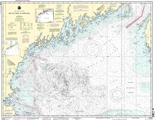
Introducing the Bay of Fundy to Cape Cod nautical chart, a vital resource for both commercial and recreational mariners. This chart is officially sanctioned by the National Oceanic and Atmospheric Administration (NOAA) and is printed on demand to ensure that you receive the most accurate and current information available.
What sets this chart apart is its commitment to delivering the latest navigational updates. Every chart is printed with all Notice to Mariners (NTM) corrections applied. This feature guarantees that you are equipped with the most relevant data at the time of your purchase, significantly enhancing your navigational safety.
In addition, the Bay of Fundy to Cape Cod chart meets the stringent requirements set out in international maritime law. Specifically, it adheres to the provisions of SOLAS Chapter V Regulation 19.2.1.3, which governs the carriage of nautical charts for commercial vessels. This ensures that both professional mariners and leisure sailors can navigate with confidence.
The collaboration between NOAA and OceanGrafix has created a product that not only meets but exceeds expectations in nautical charting. With an emphasis on accuracy, this chart is an invaluable tool for safe navigation in the waters from the Bay of Fundy to Cape Cod.
| Feature | Description |
| Chart Type | NOAA Standard Nautical Chart |
| Print Method | On Demand |
| Latest Updates | All Notice to Mariners corrections applied |
| Regulation Compliance | Meets SOLAS Chapter V Regulation 19.2.1.3 |
| U.S. Coast Guard Approval | Approved for navigation |
The Bay of Fundy to Cape Cod nautical chart is not just a piece of paper; it is a comprehensive tool designed for safety and efficiency on the water. Whether you are a seasoned mariner or just beginning your journey into navigation, having the latest information is crucial. This chart empowers you to make informed decisions while at sea.
In conclusion, investing in the Bay of Fundy to Cape Cod nautical chart ensures that you are well-prepared for your maritime adventures. With its NOAA approval, on-demand printing, and adherence to international regulations, it is an essential item for anyone serious about safe navigation.


Reviews
There are no reviews yet.