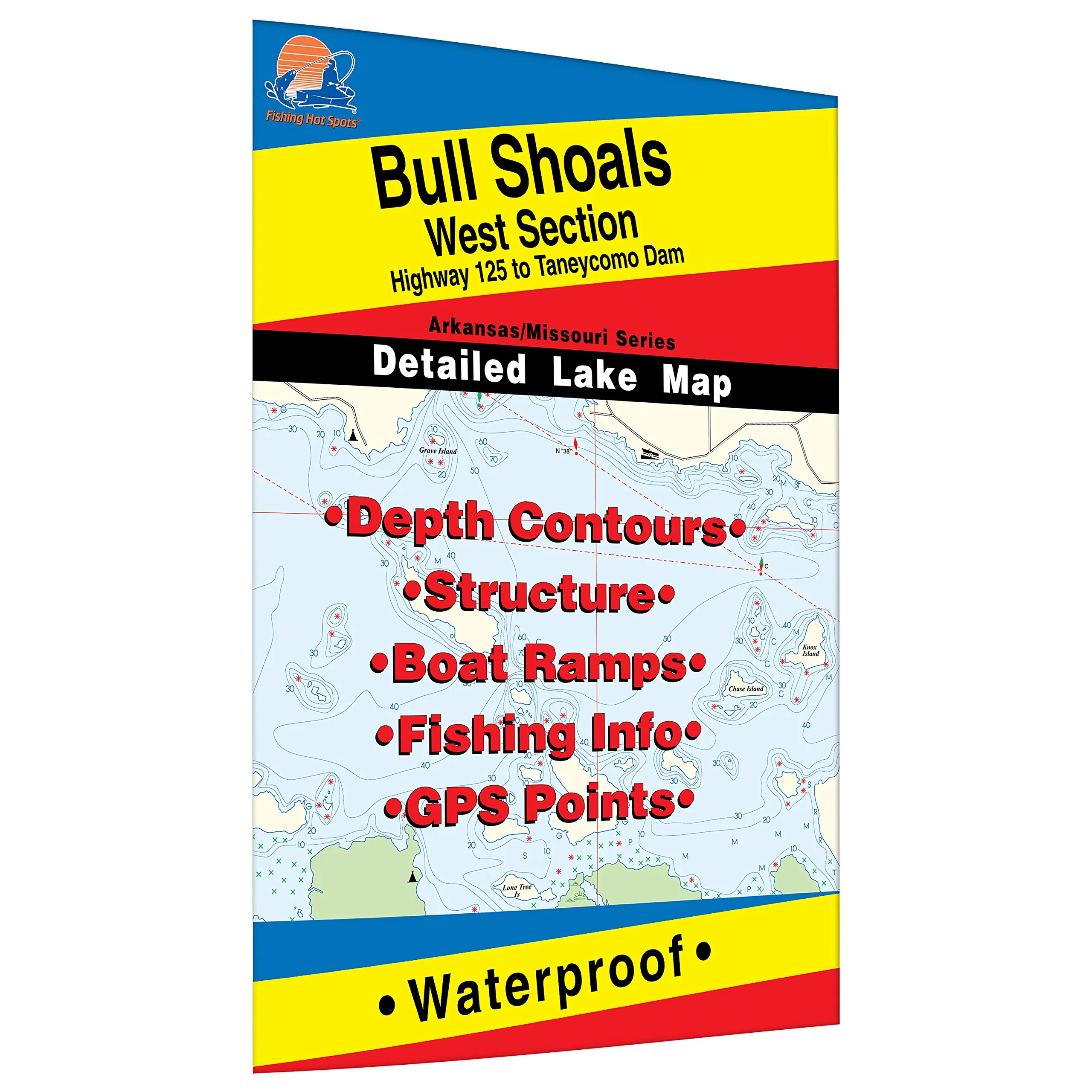
Explore the stunning Bull Shoals-West Fishing Map, covering the area from Highway 125 to Taneycomo Dam across the Arkansas and Missouri border. This map is not just any ordinary fishing map; it is a meticulously crafted resource designed for both casual anglers and dedicated fishing enthusiasts. The Bull Shoals Reservoir is renowned for its exceptional fishery, making it a prime destination for those seeking a memorable fishing experience.
The Bull Shoals-West Fishing Map is part of a two-map set, ensuring that you have comprehensive coverage of this magnificent waterway. It boasts outstanding aesthetics, highlighting the beauty of the natural landscape while providing vital information for your fishing adventure. The map is made from durable, waterproof material, meaning that it can withstand the elements whether you’re out on the water or navigating through rugged terrain.
This expertly researched map features clearly marked fishing areas, which are essential for identifying the best spots to cast your line. Additionally, the map outlines boat accesses, allowing for easy navigation to launch your boat or kayak. This feature is particularly beneficial for anglers who prefer to explore various fishing locations on the water.
| Features | Description |
| Durable Material | Made from waterproof material for longevity and ease of use in various weather conditions. |
| Marked Fishing Areas | Expertly researched spots for optimal fishing success, ensuring you make the most of your trip. |
| Boat Access Points | Clearly marked locations for easy access to launch your boat or kayak for a day of fishing. |
| Aesthetic Appeal | Visually appealing design that highlights the natural beauty of the Bull Shoals area. |
The Bull Shoals-West Fishing Map is not just a tool but a companion for your outdoor adventures. Whether you are an experienced angler or a novice looking to learn, this map provides a wealth of information that can enhance your fishing experience. The clarity of the water in Bull Shoals is unmatched, and the diverse aquatic life makes it a sought-after destination for fishing enthusiasts.
Outdoor recreation opportunities abound in this area, making it a perfect getaway for families and friends. Imagine spending a day out on the water, surrounded by nature, with the thrill of fishing at your fingertips. The Bull Shoals-West Fishing Map is your guide to navigating this fantastic resource.
In conclusion, if you are planning a fishing trip to Bull Shoals, don’t forget to equip yourself with the Bull Shoals-West Fishing Map. Its durable, waterproof design, along with expertly marked fishing areas and boat accesses, ensures that you have all the information you need at your fingertips. Experience the best of Bull Shoals fishing and make unforgettable memories!


Reviews
There are no reviews yet.