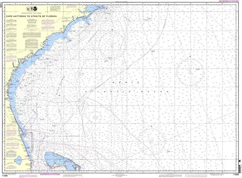
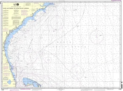
If you’re navigating the waters from Cape Hatteras to the Straits of Florida, having the right tools is essential for safety and accuracy. The NOAA-approved nautical chart, designated Chart 11009, is specifically designed to meet the needs of both commercial and recreational mariners. This chart is not just any map; it is a vital resource that incorporates all the latest Notice to Mariners (NTM) updates, ensuring that you have the most current information available at your fingertips.
OceanGrafix, in collaboration with the National Oceanic and Atmospheric Administration (NOAA), provides these high-quality nautical charts that are printed on demand. This means that every chart you receive is up-to-date with the latest maritime information, giving you confidence while navigating. As you plan your journey, consider the importance of having a reliable nautical chart that adheres to the strictest standards of the maritime industry.
Understanding the features of the Cape Hatteras to Straits of Florida nautical chart is critical. Below is a concise overview of its key attributes:
| Feature | Description |
| NOAA Approval | This chart is officially approved by the National Oceanic and Atmospheric Administration. |
| On-Demand Printing | Charts are printed as ordered, ensuring they include the most up-to-date information. |
| Notice to Mariners Updates | All relevant updates are applied to the chart at the time of printing, enhancing navigational safety. |
| Commercial Vessel Requirements | Meets U.S. and international carriage requirements as defined in SOLAS Chapter V Regulation 19.2.1.9. |
| U.S. Coast Guard Approved | This chart has received approval from the U.S. Coast Guard, ensuring its reliability for maritime navigation. |
The significance of having a NOAA standard nautical chart cannot be overstated. These charts are not only critical for commercial vessels but also serve recreational mariners who need accurate navigational data to ensure a safe journey. The regulations set forth in SOLAS (Safety of Life at Sea) emphasize the necessity of proper navigation tools, making this chart a must-have for anyone traversing these waters.
As you prepare for your next adventure, remember that the Cape Hatteras to Straits of Florida nautical chart is more than just a piece of paper; it’s a lifeline that connects you to the vast ocean while keeping you safe. With the integrated updates and U.S. Coast Guard approval, you can navigate confidently, whether you’re a seasoned mariner or a novice exploring the waters for the first time.
In conclusion, investing in the Cape Hatteras to Straits of Florida nautical chart is an essential step for ensuring your safety and enhancing your maritime experience. Don’t leave your navigation to chance; equip yourself with the best tools available.


Reviews
There are no reviews yet.