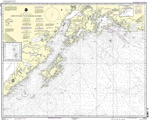
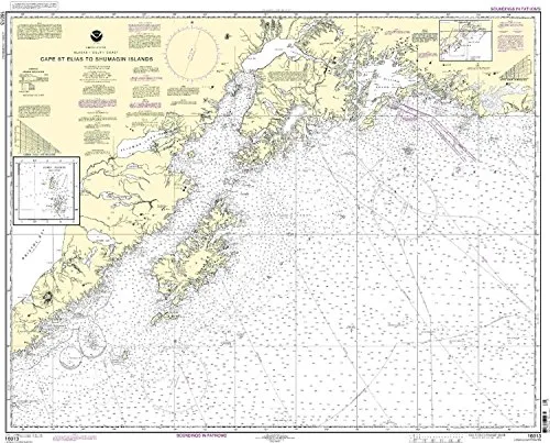
Introducing the Cape St. Elias to Shumagin Islands nautical chart, a crucial tool for both commercial and recreational mariners. This chart is printed on demand by OceanGrafix, a trusted partner of the National Oceanic and Atmospheric Administration (NOAA). Designed for accuracy and reliability, it includes all the latest Notice to Mariners (NTM) updates, ensuring that you have the most current information at your fingertips.
The NOAA standard nautical chart meets U.S. and international carriage requirements as defined in SOLAS Chapter V Regulation 19.2.1.26. This means that you can trust it to fulfill the legal requirements for navigation on commercial vessels. With every chart printed, all applicable NTM corrections are applied, which enhances the safety and confidence of mariners navigating these waters.
Why choose the Cape St. Elias to Shumagin Islands chart?
- NOAA-approved: This chart is officially recognized and compliant with maritime regulations.
- On-demand printing: Receive the most recent updates printed just for you, ensuring the latest information is always at hand.
- Comprehensive updates: Each chart comes with all the latest NTM corrections applied at the time of printing.
- Meets SOLAS requirements: Complies with international standards, making it essential for commercial vessels.
- U.S. Coast Guard approved: Ensures reliability and safety in navigation.
This chart not only serves as a navigational aid but also as a reliable resource for planning your maritime adventures. Whether you are a seasoned mariner or a recreational sailor, having access to the most accurate and up-to-date nautical charts is crucial. This particular chart covers significant maritime areas, providing details essential for safe navigation.
In addition to the chart’s technical specifications, its design allows for easy readability. The clear markings and symbols make it user-friendly, enabling you to quickly identify key information while at sea. Transitioning from land to water has never been easier with such reliable navigation tools at your disposal.
To summarize, the Cape St. Elias to Shumagin Islands nautical chart is an essential addition to your maritime resources. With its NOAA approval, up-to-date information, and compliance with international regulations, you can navigate with confidence and peace of mind. Invest in this indispensable chart today and ensure that your journeys across these beautiful waters are both safe and enjoyable.


Reviews
There are no reviews yet.