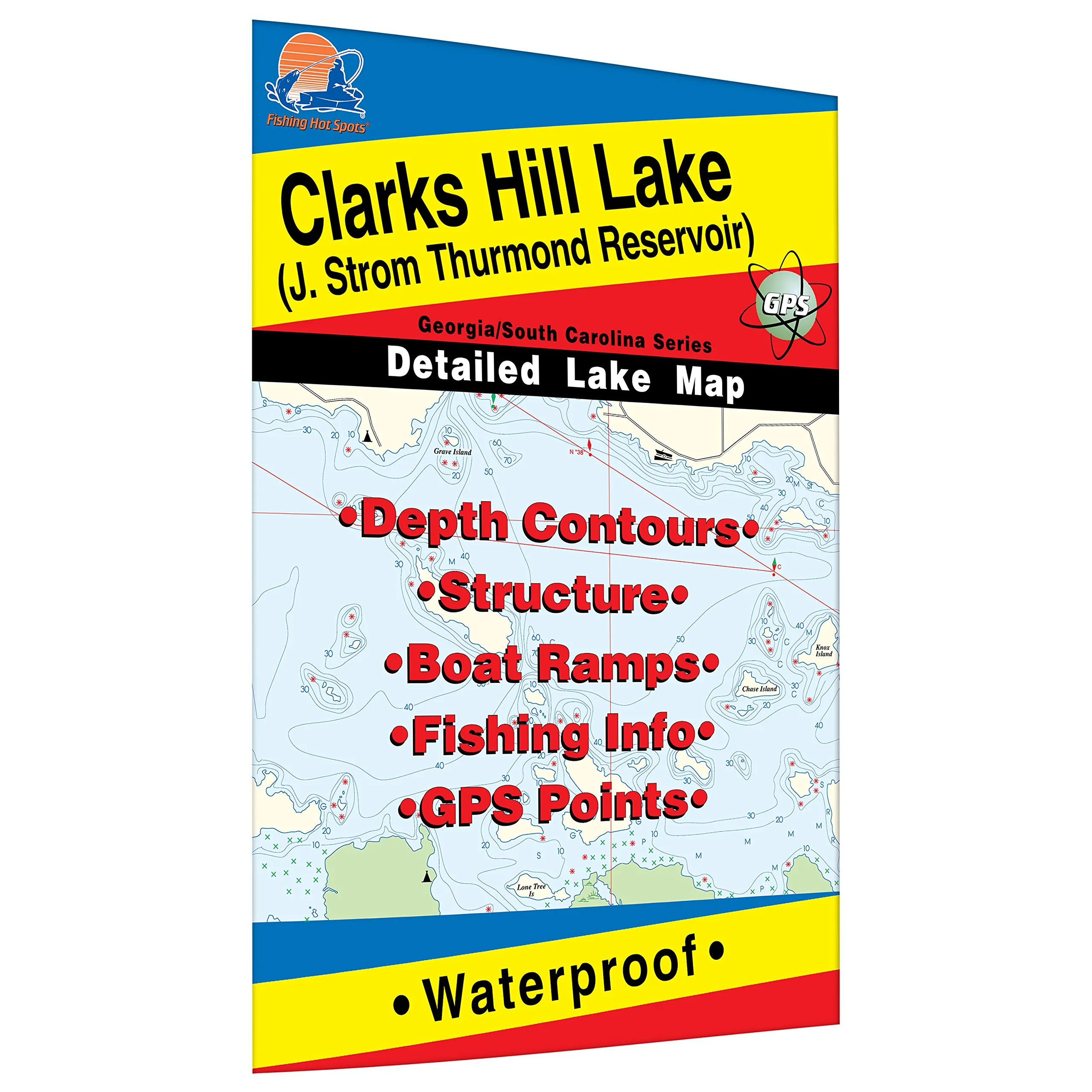
Welcome to the ultimate fishing experience at Clarks Hill Lake, also known as J. Strom Thurmond Lake, located on the border of Georgia and South Carolina. This expansive body of water is a prominent impoundment of the Savannah River, offering a rich and diverse ecosystem that attracts fishing enthusiasts from all over. With a robust population of largemouth bass, Clarks Hill Lake is considered a premier destination for anglers looking to catch trophy-sized fish.
Our Clarks Hill Lake Fishing Map is meticulously crafted to provide you with the essential information needed to maximize your fishing adventures. Made from durable, waterproof material, this fishing map is designed to withstand the elements, ensuring that it remains a reliable companion on your fishing trips. Whether you’re battling the sun or splashing through the rain, this map will stay intact and legible.
One of the standout features of this fishing map is the shaded depth areas, which are expertly researched to help you identify the best fishing spots. Understanding the underwater topography is crucial for successful fishing, and our map provides clear indications of depth contours, enabling you to locate those elusive hotspots where largemouth bass thrive.
In addition to depth information, the map also marks boat access points clearly. With multiple access locations, you can easily plan your fishing trip without worrying about launching your boat. Whether you prefer a quiet cove or an open stretch of water, our map will guide you to the best locations.
For those passionate about fishing, Clarks Hill Lake is a treasure trove of opportunities. The abundance of largemouth bass, especially those weighing between 5 to 8 pounds, makes every outing exciting. Anglers can expect to encounter these impressive fish in various locations throughout the lake, thanks to the lake’s favorable habitat conditions.
To help you plan your trip effectively, here’s a quick overview of the Clarks Hill Lake Fishing Map:
| Feature | Details |
|---|---|
| Material | Durable and Waterproof |
| Depth Information | Shaded Depth Areas |
| Species Targeted | Largemouth Bass |
| Access Points | Marked for Easy Navigation |
In summary, the Clarks Hill Lake Fishing Map is an indispensable tool for any fishing enthusiast. Its combination of durability, detailed depth information, and clear access markings makes it an essential resource for both novice and experienced anglers alike. Get ready to explore the vast waters of Clarks Hill Lake and experience the thrill of fishing in one of Georgia and South Carolina’s most beloved lakes!


Reviews
There are no reviews yet.