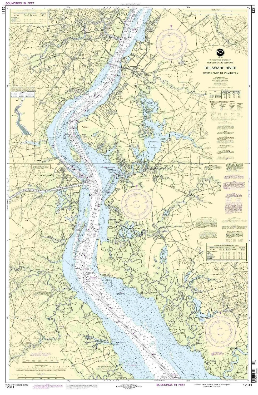
Welcome to the detailed presentation of the Delaware River Nautical Chart, specifically designed for navigation from Smyrna River to Wilmington. This chart is not just a piece of paper; it is an essential tool for both commercial and recreational mariners. With the highest standards of accuracy, it is produced by OceanGrafix, in collaboration with the National Oceanic and Atmospheric Administration (NOAA).
The Delaware River Nautical Chart is printed on demand, ensuring that you receive the most current updates available. Each chart is meticulously updated with all Notice to Mariners corrections at the time of printing, providing peace of mind while navigating the waters. This means that mariners can rely on the chart to reflect the latest navigational information and potential hazards on the river.
| Key Features | Details |
| NOAA Approved | Meets U.S. and international maritime carriage requirements. |
| On-Demand Printing | Ensures the latest updates and corrections are included. |
| Compliance | Adheres to SOLAS Chapter V Regulation 19.2.1.4. |
| U.S. Coast Guard Approved | Meets safety standards set by maritime authorities. |
This nautical chart is a crucial resource for safe navigation in the Delaware River. Whether you are a seasoned mariner or a novice exploring the waters, this chart offers the reliability and accuracy needed for effective navigation. The partnership between OceanGrafix and NOAA ensures that you receive a product that upholds the highest standards of quality and reliability.
In addition to being NOAA-approved, this chart meets the specific requirements outlined in SOLAS (Safety of Life at Sea) regulations. These regulations are essential for ensuring the safety of all vessels operating in U.S. waters. By using this chart, mariners can be confident that they are navigating with an officially recognized and approved resource.
Furthermore, the on-demand printing feature means that you will always receive the most updated version of the chart. This is particularly important as navigational conditions can change rapidly due to various factors such as weather, water levels, and maritime traffic. Having access to the latest information is vital for planning safe routes and avoiding potential hazards.
In conclusion, the Delaware River Nautical Chart is an indispensable tool for anyone navigating these waters. With its NOAA approval, up-to-date corrections, and compliance with international regulations, you can trust this chart to provide the information you need for safe and effective navigation. Whether for commercial purposes or recreational enjoyment, equip yourself with the best nautical chart available.


Reviews
There are no reviews yet.