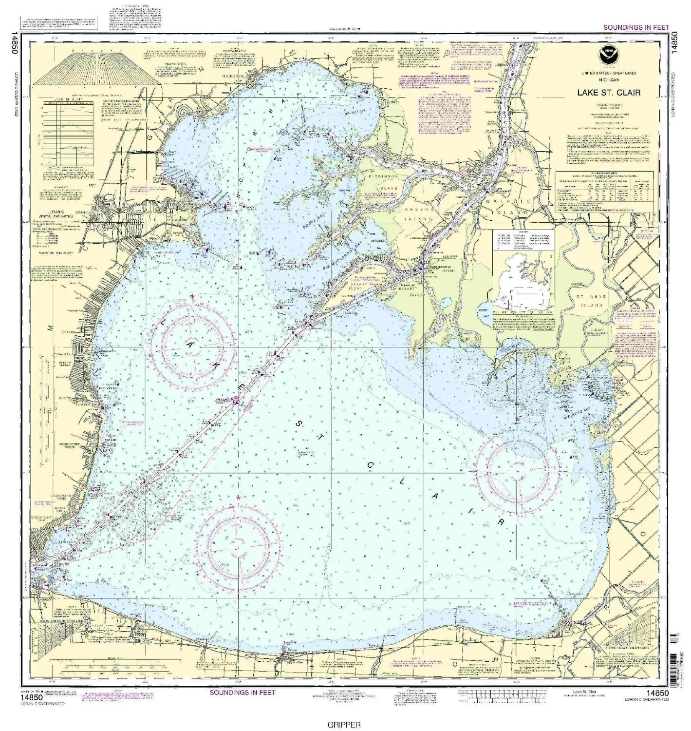
Navigating the waters requires accuracy, and with the 14850 Lake St. Clair Nautical Chart, you can trust in the precision and reliability that only OceanGrafix provides. This detailed nautical chart offers comprehensive coverage of Lake St. Clair, ensuring that both recreational and commercial mariners have access to the most current navigational information available.
OceanGrafix is committed to delivering the highest quality nautical charts. Each chart is printed only after an order is placed, which means you receive the latest updates reflecting any changes in the area. This practice guarantees that all Notice to Mariners corrections are applied, ensuring safety and accuracy in navigation.
The 14850 Lake St. Clair Nautical Chart meets all U.S. and international carriage requirements, making it essential for commercial vessels. It is also approved by the U.S. Coast Guard, providing mariners with confidence when navigating this popular waterway. The scale of the chart is 1:60,000, offering a clear and detailed representation of the waterway, which is crucial for safe navigation.
| Feature | Details |
| Brand | NOAA |
| Size | 32.79 x 34.84 inches |
| Scale | 1:60,000 |
| Approval | U.S. Coast Guard Approved |
| Usage | Commercial and Recreational |
Whether you are a professional mariner or a leisure boater, having the 14850 Lake St. Clair Nautical Chart on board is invaluable. It not only facilitates safe navigation but also enhances your understanding of the local waterways and potential hazards. The detailed coverage allows users to identify landmarks, navigational aids, and other important features that assist in journey planning.
Invest in a chart that guarantees accuracy and up-to-date information. With OceanGrafix, you can navigate confidently, knowing that you are equipped with the best tools to make informed decisions on the water. The 14850 Lake St. Clair Nautical Chart is more than just a map; it is a crucial resource for every voyager.


Reviews
There are no reviews yet.