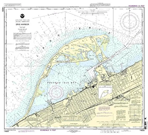
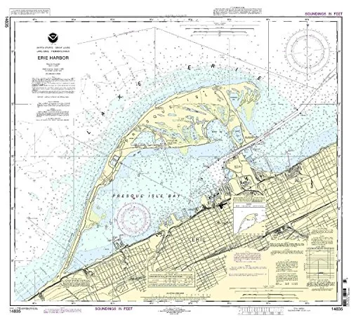
Introducing the Erie Harbor Nautical Chart by NOAA, a vital tool for mariners navigating the Eastern U.S. and Canada region. With a scale of 1:15000, this chart provides detailed and accurate information to ensure safe navigation across these waters. Each chart is printed only after an order has been received, guaranteeing that you have the most current nautical information available.
The Erie Harbor Nautical Chart is not just any chart; it is designed with the mariner in mind, featuring all necessary updates applied from the Notice to Mariners. This meticulous attention to detail ensures that you are equipped with the latest navigational data, which is crucial for making informed decisions while at sea.
Additionally, this chart meets both U.S. and international carriage requirements, making it an essential item for commercial vessels. It has received approval from the U.S. Coast Guard, further highlighting its reliability and importance for maritime operations.
| Product Features | Details |
| Brand | NOAA |
| Scale | 1:15000 |
| Size | 29.42” H x 32.64” W |
| Region | Eastern U.S./Canada |
| Approval | U.S. Coast Guard Approved |
The chart is not only a practical resource but also a representation of the commitment NOAA has towards providing mariners with the best tools for navigation. It is ideal for both professional sailors and recreational boaters who demand accuracy and up-to-date information.
To summarize, the Erie Harbor Nautical Chart by NOAA is an indispensable asset for anyone who navigates the waters of the Eastern U.S. and Canada. Its combination of up-to-date information, compliance with maritime regulations, and quality assurance makes it the best choice for safe and effective navigation.


Reviews
There are no reviews yet.